Join the SMART partnership - Help rangers on the front line of conservation...
←
→
Page content transcription
If your browser does not render page correctly, please read the page content below
Help rangers on the front line of conservation...

Join the SMART partnership
?
What is SMART?
Developed by global conservation organizations
in close collaboration with protected area
authorities and other key stakeholders, the
Spatial Monitoring and Reporting Tool (SMART)
represents a major step forward for improved
site-based conservation. SMART’s software
and training materials both extend and simplify
existing technologies for monitoring efforts
to tackle poaching and other illegal activities,
making those technologies more effective,
efficient and user-friendly.

Why SMART? More specifically
SMART has been developed in response to the SMART provides timely and accurate information
recognition that traditional tools, technologies and on where, how and by whom poaching, illegal
resources are not stemming the illegal killing and logging and other direct threats to biodiversity
trading of endangered species and the resulting loss are occurring. It allows for the collection of up-to-
of threatened and highly valued biodiversity, such as date field and intelligence data, and enables rapid
tigers, rhinos, elephants, great apes and their habitats. feedback and communication between protected
There are a number of reasons why our best efforts to area managers and frontline enforcement staff.
date have yet to meet this challenge. A critical issue is It quantitatively measures the impact of anti-
the growing gap between the sophistication of those poaching efforts in order to judge which tactics
involved in the illegal capture and trade in wildlife yield the best results and which ones need to be
and the number, skill levels and motivation of the modified, thereby greatly improving the evaluation
personnel committed to enforcing antipoaching laws. and strategic planning of enforcement operations.
SMART was designed to help bridge this gap. Its SMART introduces accountability into anti-
combination of software and training materials poaching efforts. It gives government agencies,
provides protected area authorities and community managers and donors the ability to monitor and
groups with the ability to empower staff, boost assess the cost-effectiveness of law enforcement
motivation, increase efficiency, and promote credible efforts. Park and community reserve managers
and transparent monitoring of the effectiveness of can use it as a tool to measure job performance
antipoaching efforts. SMART can do this because and help motivate field staff.
it is more adaptive and intuitive to use than other
SMART is driven by the conservation community,
monitoring technologies now in use, and because it
building on existing field-based experience and
has more advanced analytical and reporting functions.
expertise and ensuring that SMART responds
directly to the needs of field managers.
SMART is open-source, nonproprietary and free
to obtain. It is supported by a long-term business
Ranger plan, which will enable future development and
Patrols modification to meet the evolving needs of field-
➤
based users. It is easy to use and can be translated
into the languages of its end users.
strategic data
planning input SMART is fully compatible with existing and
complementary tools such as CyberTracker and
MIST, and has been created for integration with
feedback and mapping and mobile data-gathering platforms.
evaluation reporting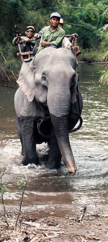
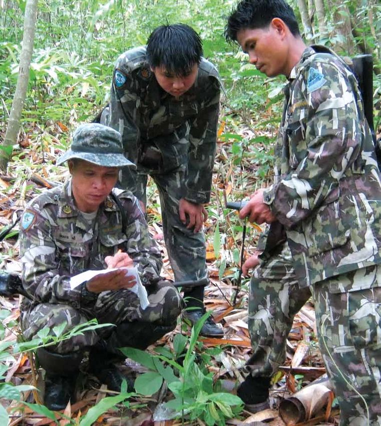
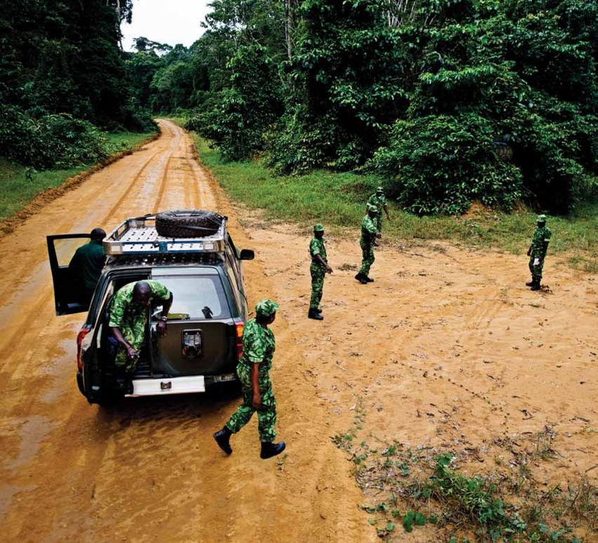
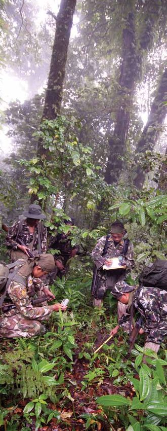
After two years of intensive research, development
and field testing, the first version of SMART—
with both the downloadable software and web-
supported training materials—is available.

Making SMART Even Smarter with Your Help
The current members of the SMART partnership
all share organizational missions to conserve
biodiversity, protect endangered species, and
reconcile the needs of people and nature in a way
that ensures the continued prosperity of both.
In that spirit, we intend to make the products
of our partnership freely available to the entire
conservation community. SMART was not
developed to give any one organization, or group
of organizations, a competitive edge over others.

In that same spirit, the partnership invites other
conservation groups and donors to join. Although
SMART’s initial focus is on law enforcement, we
envisage an ongoing and expanding collaboration
by a diverse community of users to develop a
suite of software tools that can be used to capture,
manage, and analyze various kinds of spatial-
temporal data critical to the effective management
and monitoring of conservation areas.

We’ve got a planet to save—and we all face
enormous challenges in doing it. It’s time we
got smart.

Photo credits | Cover: Rangers on patrol, Khlong Lan National Park © Department
of National Parks, Wildlife, and Plant Conservation, Thailand | Flap: Blue & yellow
macaw, South America © naturepl.com /Stephen Dalton/WWF-Canon | Rangers
collecting data, Huai Kha Khaeng Wildlife Sanctuary, Thailand © DNP/WCS Thai-
land | Left panel: Tubbataha rangers, Philippines © Jürgen Freund / WWF-Canon
| Middle panel: White rhino and calf © Martin Harvey / WWF-Canon | Ranger Mary
Ashu, Dja Biosphere Reserve, Cameroon © WWF/Fidelis Pegue Manga | Sumatran
tiger © Lynn M. Stone/ WWF-Canon | Right panel: Mountain gorillas, Democratic
Republic of Congo © Martin Harvey / WWF-Canon | Rangers on patrol, Yankari
Game Reserve, Nigeria © Richard Bergl/North Carolina Zoo | Green sea turtle,
Indo Pacific Ocean © Jürgen Freund / WWF-Canon | Kouprey trackers, Vietnam
© Elizabeth Kemf/WWF-Canon | Back cover: Antipoaching patrol, Gabon ©
WWF-Canon /James Morgan
For more information on the SMART partnership
and how you can get involved, please contact
one of the people below or visit our website,
www.smartconservationsoftware.org.

SMART Partnership Coordinator:
Lynn Duda lduda@wcs.org
CITES/MIKE:
Julian Blanc julian.blanc@citesmike.org
Frankfurt Zoological Society:
Elsabe van der Westhuizen elsabe@fzs.org
                                                wildlife
North Carolina Zoo:			                          conservation
                                                society
Richard Bergl richard.bergl@nczoo.org
Wildlife Conservation Society:
Emma Stokes estokes@wcs.org
World Wildlife Fund:
Barney Long barney.long@wwfus.org
Zoological Society of London:
Raj Amin raj.amin@ioz.ac.uk
You can also read