UBC COMMUNITY PROFILE - Stadium Road Neighbourhood Planning Process | Fall 2017 - Campus and Community Planning (UBC)
←
→
Page content transcription
If your browser does not render page correctly, please read the page content below
UBC COMMUNITY PROFILE
Stadium Road Neighbourhood Planning Process | Fall 2017

DRAFT
DRAFT

                                                             INTRODUCTION
                                                             The Community Profile
                                                             This Community Profile is a snapshot of UBC’s Point Grey campus
 TABLE OF CONTENTS                                           and the people who live here. It provides information to inform
                                                             neighbourhood planning at UBC, including the Stadium Road
                                                             Neighbourhood Plan process.
 Introduction............................................2
                                                             The Community Profile describes UBC as it is today. It also
                                                             includes information on policies that guide how the campus
 History + Context.................................4         changes.
                                                             From fall 2017 to spring 2019, UBC will work with the campus
                                                             community to create the Stadium Road Neighbourhood Plan
 UBC's Endowment.............................11              for the area around Thunderbird Stadium. The Neighbourhood
                                                             Plan will be informed by public and stakeholder engagement,
 Living at UBC........................................12     existing policies, technical studies, and information such as this
                                                             Community Profile.

 Who Lives at UBC..............................18            A note on data sources
                                                             Data in the Community Profile come from two primary sources: UBC’s analysis
 Where People Live............................22             of Statistics Canada’s 2011 and 2016 Census results, and existing UBC data. The
                                                             Community Profile notes sources throughout.

 Getting Around...................................28

 Environment + Nature....................34

UBC Vancouver Campus                                                                                                                           Thunderbird Stadium
2                                                                                                                                                                    3
DRAFT

                        HISTORY + CONTEXT
                        Campus History
                        UBC’s Point Grey campus is located on unceded, traditional
                        xwməθwkwəýwəm (Musqueam) territory. The xwməθwkwəýwəm people
                        have been present in their traditional territory, which includes the
                        University Endowment Lands, all of present-day Vancouver, and
                        surrounding areas, since time immemorial.
                        The Government of British Columbia chose Point Grey as the
                        site for UBC in 1910. The site was close to – but not part of – the
                        province’s growing industrial and cultural centre, Vancouver. It
                        also offered commanding views over the Georgia Strait and land
                        for research. At the time, the Minister of Education said UBC
                        would be “a small city which is capable of being made one of the
                        most interesting and beautiful in the world.” Sharp and Thompson’s
                        1914 Campus Plan provided the framework for UBC’s growth.              Sharp and Thompson, Campus Plan, 1914    UBC Great Trek, 1922

                        In 1920, the province set aside 3,000 acres of Point Grey as the
                        University Endowment Lands, with the plan to develop housing to
                        fund UBC. The campus grew slowly in its early years, accelerating
                        through the 1950s to the 1980s, when UBC built much of the
                        existing academic core.
                        In the late 1980s, two decisions shaped UBC’s future: the creation
                        of Pacific Spirit Regional Park, and development of the first
                        campus residential community in Hampton Place.
                        Since that time, UBC’s academic population has grown rapidly to
                        more than 50,000 students and 14,000 faculty and staff, along
                        with new facilities, student housing, and six mixed-use campus
                        neighbourhoods

    The Musqueam Post                                                                          Aerial view of Point Grey Campus, 1925   Aerial view of Point Grey Campus, 1971
4                                                                                                                                                                                    5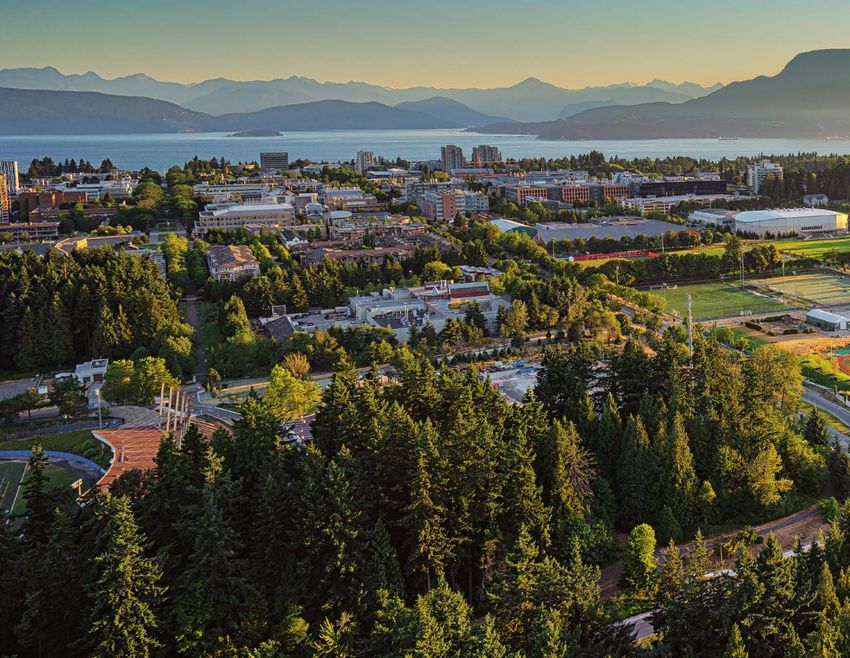
DRAFT
Regional Context UBC Policies
The Point Grey campus is on Metro Vancouver’s far western UBC’s Land Use Plan sets the long-term direction for how the Neighbourhood Planning at UBC
edge, surrounded by the Pacific Ocean, Pacific Spirit Regional campus grows and changes. It describes a broad vision for a
Park and the University Endowment Lands. Though the campus is complete, sustainable and integrated university community. It
2017
associated with Vancouver, UBC is actually outside of municipal also sets out areas for academic activities and neighbourhood Stadium Road
boundaries. housing. The provincial government approves UBC’s Land Use 2016 Planning Process starts
With nearly 2.5 million people, Metro Vancouver is Canada’s third Plan. Wesbrook Place
Amended to enable different development forms
largest urban region. Nearly 1 million more people are projected to UBC’s Board of Governors approves detailed policies to carry out
live in Metro Vancouver by 2041. the Land Use Plan’s vision. On academic lands, the Vancouver 2012
Campus Plan policies guide development. These policies include UBC Land Use Plan
A Regional Growth Strategy shapes how Metro Vancouver will Amended to change Gage South area to academic land
accommodate this growth. The Regional Growth Strategy focuses more student housing, improving outdoor spaces, and using the 2011
on five key goals: 1) Create a compact urban area 2) Support a campus as a living laboratory. Wesbrook Place 2011*
Amended to allow additional development UBC Land Use Plan
sustainable economy 3) Protect the environment and respond to In campus neighbourhoods, UBC’s Board of Governors approves Amended to preserve the UBC Farm*
climate change impacts 4) Develop complete communities and Neighbourhood Plans to guide residential development. These 2010
5) Support sustainable transportation choices. Plans include specific policies for features like park space, UBC Land Use Plan
As the region’s single largest educational institution and recreation, transportation and building height. Provincial law changes UBC OCP to Land Use Plan
2005
employment destination, UBC’s campus development supports Other UBC policies that influence development include the 20- UBC OCP 2005
the Regional Growth Strategy. Year Sustainability Strategy, Housing Action Plan, Climate Action Amendeded to enable Wesbrook Place
Wesbrook Place
Plan, Transportation Plan, and GamePlan: UBC’s 20-Year Athletics
and Recreation Facilities Strategy. 2004
University Boulevard 2004
Bowen Island West East Campus
Vancouver
North SCHEDULE A - LAND USE PLAN 2001
UBC VANCOUVER CAMPUS
Vancouver
Port Moody Chancellor Place 2001
S ific
Re pirit
Par nal
Pac
Hawthorn Place
gio
k
Acadia Road
Burnaby
ow sity
ds t
Lan men
2000
End niver
Port
U
Straight of Vancouver
New Coquitlam
Chancellor Blvd
UBC + Metro Vancouver
Wesbrook Mall Wesbrook Mall
Georgia
Westminster
Neighbourhood Planning MOU
East Mall
1997
rine Drive
Agronomy Road
University Boulevard
Thunderbird Blvd
Stadium Road
West 16th Avenue
Surrey
UBC Official Community
Main Mall
NW Ma
West Mall
eD
rive Plan (OCP) approved
Richmond arin
1989
M
Lower Mall SW
Hampton Place
S ific
Re pirit
Par nal
Pac
Rapid Transit (Current)
gio
k
0 500
m
Rapid Transit (Future) Fraser River
Legend
Rapid Bus UBC's Vancouver Campus Light Blue depicts Neighbourhood Plans
Academic Village Centre Academic *Development was shifted to other areas of campus, including Stadium Road Neighbourhood
UBC Vancouver's main campus location in Metro Vancouver with rapid transit lines shown. View across Burrard Inlet from UBC Green Academic Neighbourhood Housing Area
6 7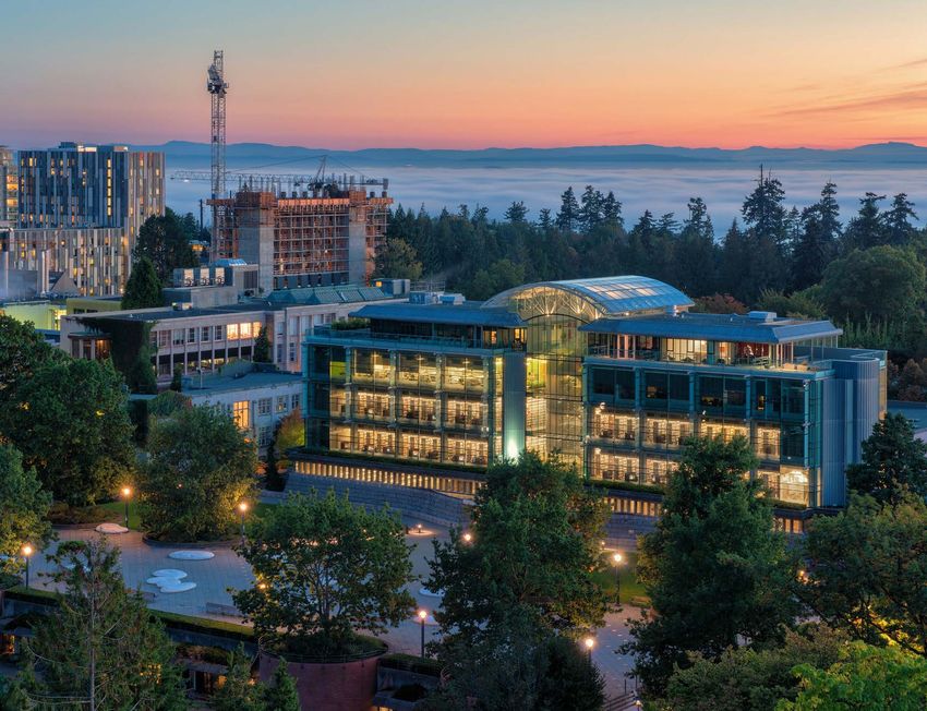
DRAFT
           Stadium Neighbourhood                                                                                                    Planning Process
           Stadium Road Neighbourhood will be UBC’s next campus                                                                     From fall 2017 to spring 2019, UBC will develop the Stadium Road
           community.                                                                                                               Neighbourhood Plan.
           Located near the middle of campus, the area is an exciting                                                               The Plan will provide clear and flexible direction to guide the
           opportunity to connect different parts of UBC: Thunderbird                                                               area’s development. This will include topics like parks and open
           Stadium and the Thunderbird Park sports fields, the existing                                                             space, services and amenities, types of housing, transportation                                  Be clear and transparent about
           Hawthorn and Wesbrook Place neighbourhoods, UBC’s Botanical                                                              connections, and building types. It will also include the location
           Gardens, and academic facilities.                                                                                        for a rebuilt Thunderbird Stadium within the study area as part of                               how we define, design, implement
           Amendments to UBC’s Land Use Plan in 2011 designated these
           lands as a future Neighbourhood Housing Area.
                                                                                                                                    the implementation of GamePlan: UBC’s 20-Year Athletics and
                                                                                                                                    Recreation Facilities Strategy.                                                                  and conclude public engagement.
           The Stadium Road Neighbourhood Plan will focus on a study area                                                           The Plan will be developed in collaboration with the UBC                                           UBC Engagement Principles and Guiding Practices
           of approximately 22 acres, or 2% of UBC’s 994-acre campus.                                                               community and other stakeholders through a broad and diverse
           The plan will also consider possible longterm scenarios for                                                              public engagement strategy. UBC’s Engagement Principles define
           surrounding roads and areas.                                                                                             how the university engages the public and campus community in
                                                                                                                                    an open conversation about planning and development.
  Blvd

                                                                                                                                    There will be many ways to provide input into the planning of this
versity

                                                                 HAMPTON
                                                                  PLACE                                                             new neighbourhood, both in-person and online. Join the email list
                                            Wesbrook Mall
                                                                                                                   Wesbro
                                                                                                                          ok Mall   or check the Stadium Road Neighbourhood Plan website to make
                                                 THUNDERBIRD PARK                                 WESBROOK
                                                                                                    PLACE                           sure you do not miss any opportunities.
                                                                               West 16th Avenue
                      Thunderbird Blvd

                                                 East Mall
                                                                                                                                         WE ARE HERE
                                     HAWTHORN
                                       PLACE                                                            UBC FARM
          Main Mall
                                         RHODODENDRON
                                             WOOD       THUNDERBIRD
                                                          STADIUM
                                                                                                                                           PHASE 01      PHASE 02       PHASE 03      PHASE 04
                                            West Mall                                                                                     FRAMEWORK +     EMERGING        DRAFT         FINALIZE
                                                             UBC BOTANICAL
                                                               GARDENS                                                                     PRINCIPLES     DIRECTIONS     OPTIONS          PLAN
                                                                           e
                                                               ri   ne Driv
                                                         SW Ma

                                                                                     Stadium Neighbourhood Planning Area

                                                                                                                                                                                                         Walter C. Koerner Library
           8                                                                                                                                                                                                                                                                                 9
DRAFT

                                          UBC’S ENDOWMENT
                                          UBC’s Endowment provides ongoing financial support for
                                          research and funding to enable academic excellence. The
 Endowment beneficiaries include          Endowment includes generous donations from individuals and
                                          groups. It also includes revenue from land development.
 scholarships, bursaries, student         UBC is the steward for 994 acres of campus endowment lands.
 housing, research centres, and faculty   The province gave these lands to UBC almost 100 years ago
                                          with the vision that land development would support a ‘margin             The Nest
 affordability housing programs.          of excellence’ beyond what a publicly-funded university could
                                          achieve.
                                          UBC generates land development revenue by leasing
                                          neighbourhood lands for 99 years and by developing and
                                          managing rental housing. UBC then endows the revenue, which
                                          generates income to support the academic mission. In this way,
                                          UBC preserves both its lands and the revenue in perpetuity for
                                          faculty, students, research and staff.
                                          Other universities also use their land endowment to support
                                          their academic mission. In Canada, Simon Fraser University,
                                          the University of Calgary, and others have developed mixed-
                                          use neighbourhoods to build community and generate revenue.
                                          Internationally, universities like Oxford and Cambridge use their
                                          land in similar ways.                                                     Brock Commons - Tallwood House

                                          Endowment Sources + Benificiaries

                                                               25%               Student scholarships + bursaries
                                                         75%                     Capital Projects
                                                                                 Student Housing

                                             Donations
                                             Land Endowment

                                                                                                                    IK Barber Learning Centre
10                                                                                                                                                      11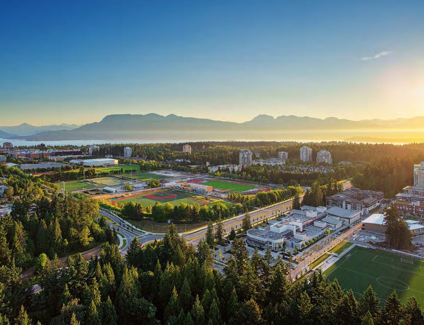
DRAFT

                                      LIVING AT UBC
                                      UBC has evolved from a commuter campus to a complete
                                      university community for living, working and playing. The campus
                                      is also a regional destination, attracting people to world-class
                                      cultural, sports and leisure attractions.
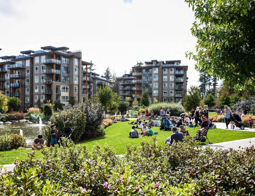
                                      In the neighbourhoods, residents have access to two community
                                                                                                                                Build a complete and integrated
                                      centres, extensive green space, childcare spaces, primary and                             university community for living,
                                      secondary schools, health facilities, and commercial services
     Museum of Anthropology at UBC    including a grocery store, restaurants, pubs and coffee shops.                            working and studying in harmony
                                      Outside of the neighbourhoods, residents have access to
                                      academic facilities that provide amenities not typically found in a
                                                                                                                                with the environment.
                                      community of 11,000 people. These include museums, libraries,                               UBC Land Use Plan
                                      the Aquatic Centre, gardens, food and drink, ice rinks, outdoor
                                      space and cultural facilities.

                 UBC Aquatic Centre

                                       Existing UBC Policy
                                       • Build neighbourhoods to facilitate wellbeing
                                       • Provide services, facilities and amenities for the whole
                                         campus community
                                       Sources: Land Use Plan, Wellbeing Strategy, Sustainability Strategy
              UBC Botanical Garden                                                                           Wesbrook Village
12                                                                                                                                                            13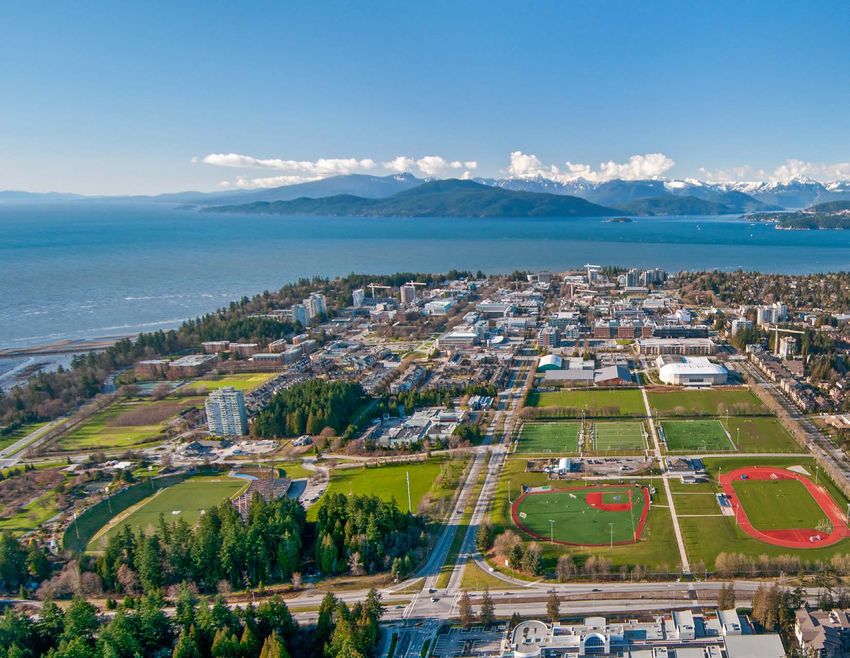
DRAFT
UBC’s policies focus on improving
wellbeing for the whole campus ESSENTIAL SERVICES + COMMUNITY HUBS
by adding services, facilities and
amenities. 800m
~ 10 min walk from
Stadium Neighbourhood
ACADIA
UNIVERSITY
UNIVERSITY MARKETPLACE
lvd
ENDOWMENT
3
rsity B
LANDS
8
8
HAMPTON
Unive
PLACE
Student Union Blvd
Wesbro
2 Wesbrook Mall 5
ok Mall
CHANCELLOR 6
THUNDERBIRD PARK WESBROOK
PLACE BUS
West 16th Avenue
PLACE
Thunderbird Blvd
EXCHANGE
9 2
East Mall East Mall
HAWTHORN
University Blvd
PLACE UBC FARM
ve
Main Mall
rine Dri
RHODODENDRON
WOOD THUNDERBIRD
STADIUM Childcare
NW Ma
West Mall
West Mall Cafe / Pub
UBC BOTANICAL Library / School
GARDENS
ve Health + Medical
rine Dri
SW a
M
Grocery / Corner Market
Community Centre
STRAIGHT OF Stadium Neighbourhood Planning Area
GEORGIA
0 250 500 1,000m
Old Barn Community Centre
14 15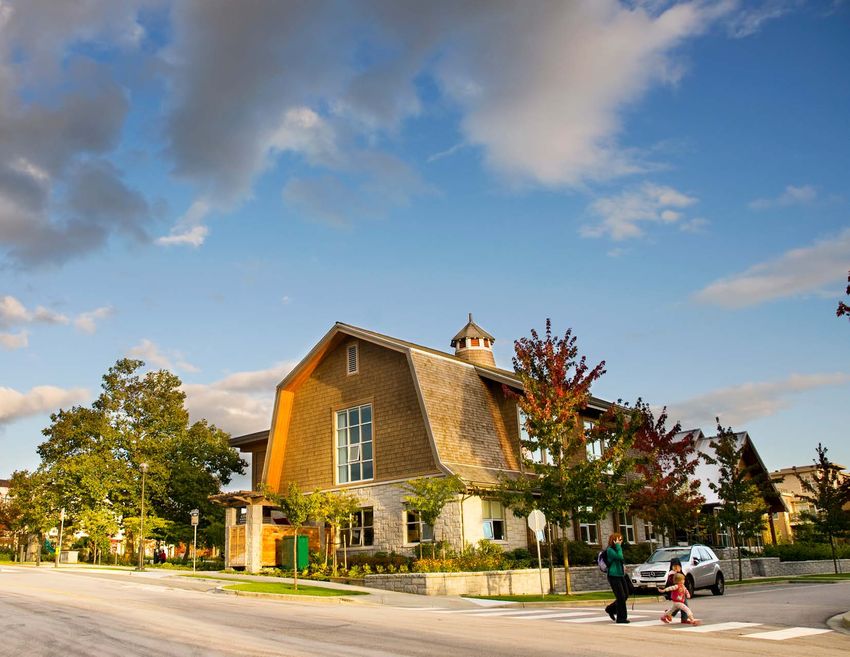
DRAFT
RECREATION FACILITIES + PARKS
800m
~ 10 min walk from
Stadium Neighbourhood
ACADIA
UNIVERSITY
lvd
ENDOWMENT
rsity B
LANDS
HAMPTON
Unive
PLACE
Student Union Blvd
Wesbro
Wesbrook Mall ok Mall
CHANCELLOR THUNDERBIRD PARK WESBROOK
PLACE BUS
West 16th Avenue
Thunderbird Blvd
EXCHANGE 8 PLACE
East Mall East Mall
HAWTHORN
University Blvd
PLACE UBC FARM
ve
Main Mall
rine Dri
RHODODENDRON
WOOD THUNDERBIRD
STADIUM Public Plaza
NW Ma
West Mall
West Mall Recreation Facility
UBC BOTANICAL
GARDENS
Outdoor Sports Facility
SW a
M rine Dri
ve Regional Park Destination
Community Garden / Farm
Playgrounds, Parks, Greenways
STRAIGHT OF Stadium Neighbourhood Planning Area
GEORGIA
0 250 500 1,000m
Thunderbird Park
16 17
DRAFT

WHO LIVES HERE
When classes are in session, there are nearly 80,000 staff,
faculty, students and residents at UBC’s Point Grey campus each
day. Thousands more visitors come to UBC’s museums, Hospital,
Aquatic Centre and other facilities. Altogether, more people are
on UBC’s campus than live in most BC cities, including West
                                                                                                       When classes are in session, there
Vancouver, Prince George and New Westminster.                                                          are nearly 80,000 staff, faculty,
Campus residents are a growing part of this community. There
are now more than 11,000 people living in campus residential                                           students and residents on campus.
neighbourhoods, and nearly 12,000 students living in on-campus
student housing.

Daytime population
Source: UBC data

                      11,000
                               4,864
                               9,250               Staff
         53,600                                    Faculty
                                                   Students
                                                   Neighbourhood Residents

        Student Housing Beds           Neighbourhood households
             On Campus                     with UBC affiliation

                   11,795                    35%                       25%
                                                                  Total Residents

                      Total Students                                                Wesbrook Village
18                                                                                                                                          19
DRAFT
Language spoken most often at home
Compared to Vancouver, UBC’s
Source: UBC data, Statistics Canada 2016 Census neighbourhood population is younger,
Other
with more children, and more likely to
Korean
speak a non-official language at home.
Chinese languages
English +
another language
English
0% 10% 20% 30% 40% 50% 60%
UBC VANCOUVER
Age groups
Source: UBC data, Statistics Canada 2016 Census
65+
40 - 64
20 - 39
10 - 19
0-9
0% 10% 20% 30%
UBC VANCOUVER Wesbrook Community Centre
20 21DRAFT
WHERE PEOPLE LIVE
UBC campus residents live in five six neighbourhoods – Hampton
Place, East Campus, Chancellor Place, Hawthorn Place, University
Boulevard, and Wesbrook Place. Student housing is primarily in
UBC’s academic core.
People at UBC live in different types of housing. Hampton
The campus neighbourhood
Place, built in the early 1990s, has many townhome and low- population grew by 32% between
rise apartments. Reflecting regional urban trends, newer
Hampton Place neighbourhoods like Wesbrook Place include taller multi-family 2011 and 2016.
buildings, along with more community services like a grocery Statistics Canada
store, restaurants and community centre.
People at UBC also live in different housing arrangements,
known as tenures. These include condominium ownership under
99-year leases, rental housing at market rates, and restricted
rental housing for specific groups, such as seniors, or at reduced
rates, such as faculty-staff housing.
Housing affordability is a growing and obvious challenge in
Metro Vancouver. UBC’s Housing Action Plan includes programs
and policies to support faculty and staff housing. With 503
faculty-staff rental units at below-market rates, UBC is Metro
Vancouver’s largest provider of workforce housing. This is
projected to grow to at least 778 by 2021.
Wesbrook Place UBC’s policies support a range of different housing types, tenures
and sizes in campus neighbourhoods.
Existing UBC Policy
• Up to 30% of new housing built at UBC will be rental and
up to 20% will be below-market faculty-staff rental
• Provide a range of housing types and sizes
• Maximum 65 metre building heights
• Maximum 3.5 Floor Space Ratio
Sources: Land Use Plan
Wesbrook Place Hawthorn Green
22 23DRAFT
Housing Type BUILDING HEIGHTS
Source: UBC data, Statistics Canada 2016 Census
Single Detached
Acadia East Campus
Hampton Place
Attached
Chancellor Place Wesbrook Place
Ground-Oriented
Apartments < 5 Stories
UNIVERSITY
University Blvd
lvd
ENDOWMENT
Apartments > 5 Stories
rsity B
LANDS
Unive
0% 10% 20% 30% 40%
Student Union Blvd
Wesbro
Wesbrook Mall ok Mall
UBC VANCOUVER THUNDERBIRD PARK
West 16th Avenue
Thunderbird Blvd
Unit Breakdown
East Mall East Mall
Source: UBC data, 2011 Statistics Canada National Housing Survey
University Blvd
UBC FARM
ve
Main Mall
rine Dri
RHODODENDRON
4 Bedroom WOOD THUNDERBIRD
STADIUM
5 - 10m (~2-3 storeys)
NW Ma
West Mall
West Mall 10 - 20m (~3-6 storeys)
3 Bedroom UBC BOTANICAL
GARDENS
ve
20 - 30m (~6-9 storeys)
rine Dri
SW a
M 30 - 60m (>9 storeys)
2 Bedroom
* Heights derived from 2015 LiDAR Survey
Number of stories dependent on building use
Studio / 1 Bedroom
STRAIGHT OF
GEORGIA
Hawthorn Place Stadium Neighbourhood Planning Area
0% 10% 20% 30% 40% 50%
0 250 500 1,000m
Hampton Place UBC VANCOUVER
24 25DRAFT
Housing Tenure
Source: UBC data
8.5% HOUSING TENURE
9.8% Rental: Other1
Market Purchase2
8.9% Rental: Unrestricted Acadia East Campus
72.9% Rental: Faculty/Staff TBD 0.3m sqft
approx. 600 people
Hampton Place
Wesbrook Place
1. Includes Seniors and University Housing 1.3m sqft
(e.g. Axis and Central )
2. Includes a limited number of Faculty Chancellor Place approx. 2,300 people 6m sqft (50% remains)
Home Ownership Program (FHOP) units 0.8m sqft approx. 12,000 people (50% remains)
approx. 1,700 people
UNIVERSITY
University Blvd
lvd
ENDOWMENT
Average Rent
rsity B
LANDS
0.3m sqft (Underway)
Unive
Source: 2016 CMHC Rental Market Survey approx. 1,000 people
Student Union Blvd
Wesbro
Wesbrook Mall o k Mall
THUNDERBIRD PARK
West 16th Avenue
Thunderbird Blvd
3 Bedroom
East Mall East Mall
2 Bedroom
University Blvd
UBC FARM
ve
1 Bedroom Main Mall
rine Dri
RHODODENDRON Rental: Other 1
WOOD THUNDERBIRD
STADIUM
Student Housing
NW Ma
Studio West Mall
West Mall Market Purchase 2
UBC BOTANICAL
$0 $500 $1,000 $1,500 $2,000 $2,500 GARDENS Rental: Unrestricted
ve
rine Dri
SW a
M Rental: Faculty/Staff
UBC + UEL VANCOUVER 1. Includes Seniors and University Housing (e.g. Axis and Central )
2. Includes a limited number of Faculty Home Ownership Program (FHOP) units
Hawthorn Place
Note: Vancouver data reflects all housing types, including options like secondary suites and, on average, older rental
housing stock than UBC/UEL. UBC faculty/staff rental rates are benchmarked 25% below comparable rental types. STRAIGHT OF Stadium Neighbourhood Planning Area
GEORGIA
0.9m sqft
approx. 1,800 people 0 250 500 1,000m
Wesbrook Place
26 27DRAFT
GETTING AROUND
There are 140,000 trips to and from UBC each day.
Transportation is important to connect UBC to the region, and to
connect UBC’s community to different parts of campus.
All campus residents are within Transportation to, from and around UBC has evolved as the
campus has changed. Over the past 20 years, trips have shifted
500m of either a community from cars to an almost 300% increase in transit travel thanks in
large part to the student UPass and other UBC policies. Over the
shuttle or bus stop. same time, daily trips per person have decreased almost 17% as UBC Bus Exchange
UBC adds more community services and facilities.
Not surprisingly, walking is the primary way UBC’s community
gets around the campus. UBC has an extensive pedestrian
network in and outside of neighbourhoods. Neighbourhood
residents primarily travel the campus by foot, but also tend to
cycle and drive more than faculty, staff and students.
The future of transportation is in flux at UBC and beyond.
The Mayors’ Council Vision for Metro Vancouver Transit and
Transportation includes extending rapid transit to campus, which
would further shift how people travel to, from and around UBC.
New technologies like automated vehicles could also have an
impact on the campus.
UBC’s policies are committed to sustainable transportation and
flexible to adapt to this changing world. They prioritize walking, Main Mall
cycling and transit and support the development of rapid transit
to campus.
Existing UBC Policy
• Lead in alternative transportation models
• 2040 target: 2/3 of trips to and from campus by walking/
cycling/transit
• Connect the campus with a greenway corridor
Sources: Land Use Plan, Transportation Plan, 20-Year Sustainability Strategy
UBC Bus Exchange Main Mall + Hawthorn Community Gardens
28 29DRAFT
Transit Mode Share to and from UBC
Source: UBC Annual Transportation Status Report
60%
U-Pass
Over the past 20 years, 50%
2016
trips have shifted from 40%
30%
73,000
daily transit trips TRANSIT + PEDESTRIAN NETWORK
cars to an almost 300%
140,000
daily total trips
20%
increase in transit travel. 10%
800m
1997 1999 2001 2003 2005 2007 2009 2011 2013 2015 ~ 10 min walk from
Transit Trips Stadium Neighbourhood
44, 84
8
E, 25
ACADIA
Road Jurisdiction + Parking Locations
rsity B 99 B-LIN
UNIVERSITY
25, 33
lvd
ENDOWMENT
lvd
14,
LANDS
rsity B
4, 9,
HAMPTON HAMPTON
Unive
PLACE PLACE
Unive
C20, C18, 25, 33, 41, 43, 49, 480
Student Union Blvd
C20, C1W
8, 41
esbroo
Student Union Blvd
Wesbro Wesbrook Mall k41Mall
Wesbrook Mall o k Mall
WESBROOK CHANCELLOR WESBROOK
P THUNDERBIRD PARK
P PPLACE PLACE BUS
THUNDERBIRD PARK
West 16th Avenue
PLACE
Thunderbird Blvd
West 16th Avenue
EXCHANGE
Thunderbird Blvd
C20,
C18
P 3,
41, 4 80
4
East Mall C20, 49,
East Mall C20,
East Mall
P East Mall C18
C18
HAWTHORN HAWTHORN
43, 49,
University Blvd
PLACE
480
PLACE UBC FARM UBC FARM
University Blvd
ve
P Main Mall
ve
rine Dri
Main Mall
rine Dri
RHODODENDRON RHODODENDRON
P WOOD THUNDERBIRD
STADIUM
WOOD THUNDERBIRD
STADIUM
49,
43, 0
NW Ma
West Mall 48
NW Ma
West Mall C18 C20West Mall
West Mall
UBC BOTANICAL
GARDENS
UBC BOTANICAL
GARDENS Shuttle/Bus Route
C20,
ne Driv
e C18
SW a
M rine Dri
ve Pedestrian Sidewalk
ri
SW Ma
Pedestrian Pathway
P C20
Greenways / Parks
STRAIGHT OF Stadium Neighbourhood Planning Area
GEORGIA
P Surface Parking UEL UNA UBC MoTI 0 250 500 1,000m
UBC Trolley Bus Loop P Structured Parking Stadium Neighbourhood Planning Area
30 31DRAFT
Primary Mode of Travel on Campus
Source: 2013 Transportation Survey
Other
Transit
Single Occupancy
Vehicle CYCLING NETWORK
Bicycle
Walk
800m
0% 20% 40% 60% 80% ~ 10 min walk from
Stadium Neighbourhood
STUDENTS/STAFF/FACULTY RESIDENTS
ACADIA
UBC's Transportation Plan UNIVERSITY
lvd
ENDOWMENT
rsity B
LANDS
HAMPTON
Unive
PLACE
TARGET 1
Student Union Blvd
Wesbro
Wesbrook Mall ok Mall
CHANCELLOR THUNDERBIRD PARK WESBROOK
PLACE BUS
West 16th Avenue
Thunderbird Blvd
PLACE
-• By2040
2040atat least two-thirds (66.7%)
of all of alltotrips to and from EXCHANGE
By least two-thirds (66.7%) trips
- UBC
and willUBC
By 2040
from beleast
at by
willwalking,
two-thirds cycling
(66.7%)
be by walking, or of
cyclingtransit
all transit
or trips to
- and
By fromat
2040
Maintain atUBC
leastwill
least be by
two-thirds
50% walking,
of all trips tocycling
(66.7%) of all
and or transit
trips to
•
-
Maintain
Maintain
and from
at
at
UBC
least
least
will
50%
50%
be byof
of
all
all trips
trips
walking, to
tofrom
and
cycling
and
from
or
the
from
the
transit
the campus East Mall East Mall
campus on public transit
- on public
campus on
Maintain transit
public
at least 50%transit
of all trips to and from the HAWTHORN
University Blvd
campus on public transit PLACE UBC FARM
ve
TARGET 2 Main Mall
rine Dri
RHODODENDRON
WOOD THUNDERBIRD
- Reduce SOV travel to and from UBC by 20% from STADIUM
NW Ma
West Mall
-• Reduce
Reduce
1996 SOVtravel
SOV
levels traveltoto and
and from
from UBCUBC by 20%
by 20% from from 1996 West Mall
- levels
1996 levels
Reduce
Maintain SOV travel
at least to and
30% from UBC
reduction by1997
from 20%levels
from UBC BOTANICAL
GARDENS
Painted Bike Lane
- inMaintain
1996 levels
daily SOV at trips
leastper
30% reduction
person to andfrom
from1997
UBClevels arine D
rive Shared Use Road
• Maintain
in daily SOV
at trips
leastper
30% reduction fromUBC
1997 levels in daily SW M
- Maintain at least 30% person to and
reduction fromfrom
1997 levels Slow Cycling Area
SOV trips per person to and from
in daily SOV trips per person to and from UBC UBC Informal Bike Lane
TARGET 3 Stadium Neighbourhood Planning Area
- Maintain daily private automobile traffic at or less STRAIGHT OF
GEORGIA
- than
Maintain daily private automobile traffic at or less
1997 levels 0 250 500 1,000m
• Maintain
than 1997 daily
- Maintain dailylevels private
private automobile
automobile traffic
traffic at or less than
at or less
UBC Cycling Route than
19971997 levels
levels
32 33DRAFT
ENVIRONMENT
Surrounded by Pacific Spirit Park and the Pacific Ocean, the Point
Grey campus’ unique character and identity is deeply rooted in its
coastal landscape setting. In fact, 95% of neighbourhood resi-
dents say UBC’s natural setting was important to very important 95% of campus residents say
in attracting them to live on campus (2013 Survey).
UBC’s natural setting important to
UBC celebrates this natural setting by embracing sustainability.
Stormwater feature at UBC For campus neighbourhoods, this includes: managing rainwater to very important in attracting them
prevent cliff erosion; setting high green building standards for all
residential development; and connecting all new development to to live on campus.
the Neighbourhood District Energy System.
Greenhouse Gas Emissions Forecast
Source: Community Energy + Emissions Plan (Neighbourhoods)
TRIUMF
14,000 Waste Heat
Energy Recovery
10,000
tonnes CO2e
6,000
REAP Platinum building at UBC
2,000
2015 2020 2025 2030 2040
Business As Usual Neighbourhood District Energy System
Existing UBC Policy
• Embed sustainability in neighbourhood development
• All neighbourhood buildings REAP Gold certified or better
• Replace neighbourhood trees at a 1:1 ratio
Sources: Land Use Plan, 20-Year Sustainability Strategy
Pacific Spirit Park Official opening of the Physic Garden 1981 - UBC Botanical Garden
34 35DRAFT
Tree canopy covers 26% of UBC
total area TREE CANOPY
ACADIA
UNIVERSITY
lvd
ENDOWMENT
rsity B
LANDS
HAMPTON
Unive
PLACE
Student Union Blvd
Wesbro
Wesbrook Mall o k Mall
CHANCELLOR WESBROOK
PLACE BUS THUNDERBIRD PARK
West 16th Avenue
PLACE
Thunderbird Blvd
EXCHANGE
*
East Mall * *
East Mall
* * UBC FARM
HAWTHORN
University Blvd
PLACE
ve
Main Mall
rine Dri
RHODODENDRON
WOOD THUNDERBIRD
STADIUM
NW Ma
West Mall
West Mall
UBC BOTANICAL
GARDENS
ve Tree Canopy
rine Dri
SW a
M
Vegetated Ground Cover
*
* ARTIFICIAL TURF
STRAIGHT OF Stadium Neighbourhood Planning Area
GEORGIA
0 250 500 1,000m
Rhododendron Wood
36 37You can also read


