Learnings from the US Department of Interior's Drone Program - Renee Bartolo Team Leader - Ecosystem Restoration & Landform Group
←
→
Page content transcription
If your browser does not render page correctly, please read the page content below
Learnings from the US Department of
      Interior’s Drone Program
                             Renee Bartolo
         Team Leader – Ecosystem Restoration & Landform Group
                               Chief Remote Pilot
                    E: renee.bartolo@environment.gov.au

Presentation to NT Drones Network Seminar: 12th December 2019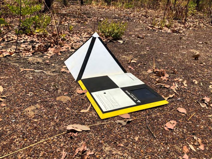
Outline

• Supervising Scientist Branch applications
• Learning from the USA and how they apply to the Australian context
• Other SSB learnings and what next
Supervising Scientist
Ranger uranium mine and
ecological restoration

          • Operations to cease in 2021 and rehabilitation works are to be completed
            by January 2026.
          • 950 ha of ecological restoration.
          • Close out is expected to take decades.

           Environmental Requirements (ERs)
           ER 2.1 …to establish an environment similar to the adjacent areas of
           Kakadu National Park such that…the rehabilitated area could be
           incorporated into Kakadu National Park
           ER 2.2(a) …revegetation of the disturbed sites of the Ranger Project Area using local native plant
           species similar in density and abundance to those existing in adjacent areas of Kakadu National
           Park, to form an ecosystem the long term viability of which would not require a maintenance
           regime significantly different from that appropriate to adjacent areas of the park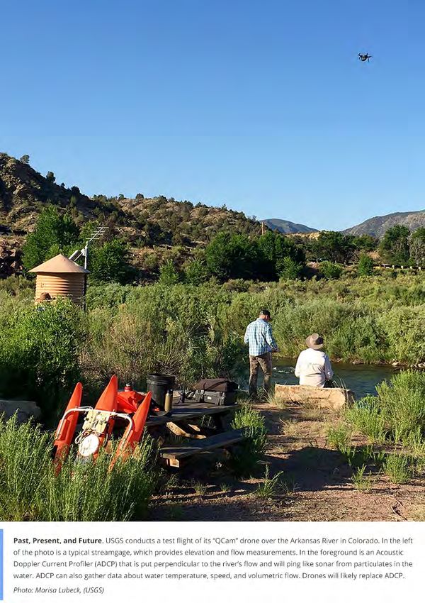
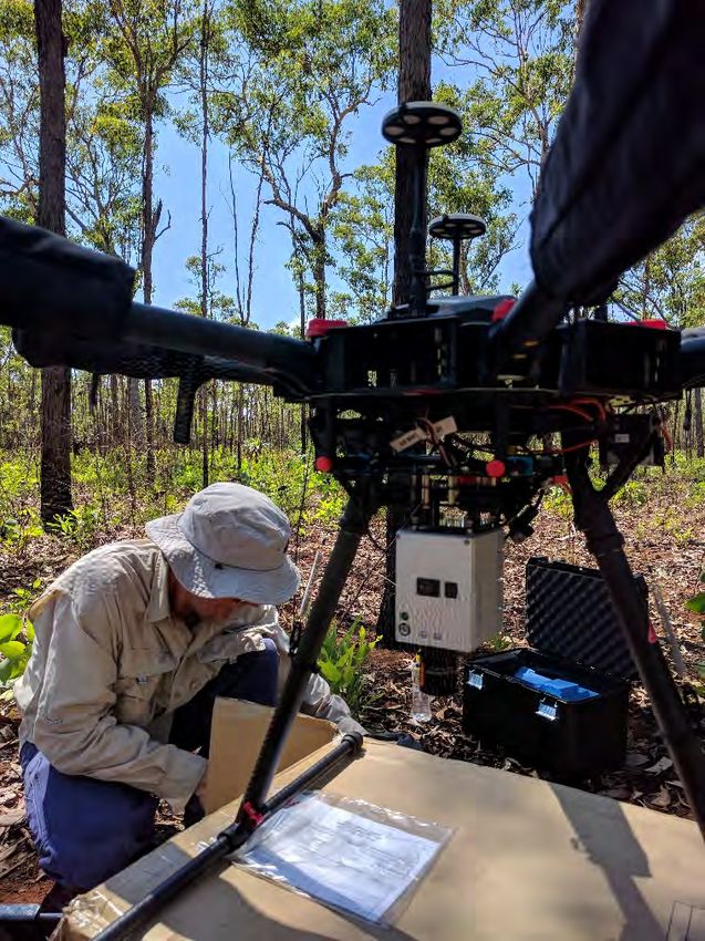
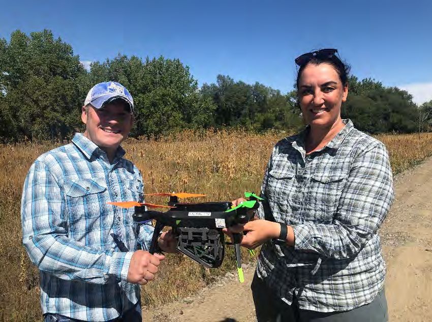
What we use drones for

• Ranger rehabilitation standard & closure criteria
• Monitoring
• Scaling between datasets
• WHS-doing jobs where there is risk to people
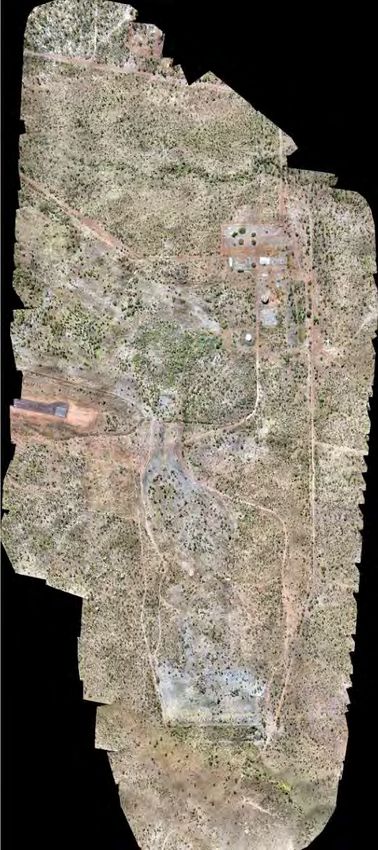
230 ha 45 mins flight time
1013 photographs
Early learnings

 • Environmental factors
 • WHS
 • Regulatory requirements
 • People/pilots
 • Fleet and pilot management system,
 • More recently, making sure your budget covers area approvals
Current SSB platforms, sensors and software
Monitoring billabong turbidity

Jabiluka Billabong   Djarr Djarr/Kelly’s Billabong   Wirnmyurr Billabong
 December 2014              October 2013               December 2014
                           December 2014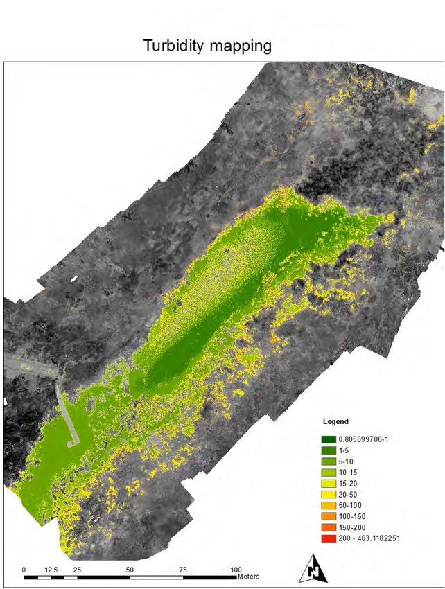
Phantom 4 Pro
Using flowers to identify understorey species
Spermacoce stenophylla           Gomphrena canescens

  Height   Pixel count            Height   Pixel count per
  (m)      per flower             (m)      flower (approx.)
           (approx.)

    5          900                  5           400

   10          120                 10            80

   20           30                 20            20

   30           25                 30
Comparison of TLS and ALS 15 March 2018
Trial Landform: LiDAR for assessing ecosystem establishment and erosion
Learnings
from the USA
US Department of Interior
• 9 bureaus and 70,000 people
   • USGS, Bureaus of Land Management, Reclamation,
     Indian Affairs, Safety and Environmental Enforcement,
     National Park Service, US Fish & Wildlife Service, Office
     of Surface Mining, Ocean Energy Management

• Over 600 drones
• USGS- National UAS Project Office
  (NUPO)
   • lead the safe, efficient, cost-effective and leading-edge
     investigation of the potential uses for UAS technology
     in scientific research activities for the USGS and the
     Department of the Interior.
NUPO – activities and research
• Goal: Implement UAS as a common tool for scientific research and
operational activities
o UAS Operator Training for the USGS
o Sensor Integration, Testing and Approval
o Develop Data Processing Techniques & Best Practices
o Perform Proof-of-Concept Missions
o Inventory and Operator Qualifications Management
• Q-Cam
• Urban Forest project
• Fossil sites
• Ground truth for 3DEPs programPolicy
• DOI Operational Procedures Memorandum (OPM) – 11
• Policy should include:
• Links to existing legislation and policies- eg: CASA CASR Part 101, WHS Act
• Risk analysis processes – eg: risk registers
• Interactions with wildlife and ecologically sensitive habitats – eg: policy operating in national parks and the EPBC
Act 1999
• Procurement and impending registration – does this get managed centrally?
• Data management
• IT Security
• Inventory management – how is the fleet managed
especially with respect to reporting processes
• Contracting requirements – end product contract
specifications. Training requirements for staff
• Privacy requirements – eg: Operation of RPA will only be
conducted where the Department has jurisdiction or permission
from land owners.
• Fitness for duty
• Accident and incident reporting
• Requirements for engaging contractors – who you engage
(eg: primary ReOC holder)Cybersecurity • American Drone Security Act - ban the Federal procurement of certain drones • 15 month testing program – DJI ‘Government Edition’
Privacy

 • In the US, privacy and drones is covered by a Presidential
   memorandum
 • No such laws or requirements apply in Australia at federal level
Training programs
• DOI training includes:
   • General aviation
   • 4 day drone course- theory and practical and then you are carded to fly
     drones
   • Night operations
   • BVLOS
   • Advanced mission planning
   • Image analysis

• Operational compared with programmatic risks
Fleet and pilot management systems • Easy to extract data for CASA annual census/survey • Safety reporting and recognition of trends- can send out safety alerts • We use Skyward but there are other systems • Online – enables CRP to authorize flights from anywhere • Can record flights in the field and sync when in range • Store pilot documentation
Connecting your drone community
• Community of Practice
   •   Safety share
   •   Update on CASA regulations and rules
   •   Update on the Department’s RPA policy
   •   Update on systems for management of RPA in the Department
   •   Presentation from a Branch either using or proposing to use RPA
   •   Open discussion
• Informal monthly meetings at the pub
• NT Drones Network – facilitated by the NT
  Government. Cooperation is critical
• US Federal UAS users workshops/meetings
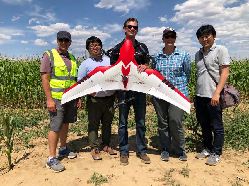
Partnering with industry
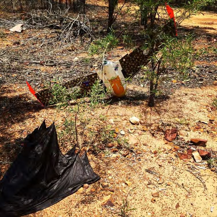
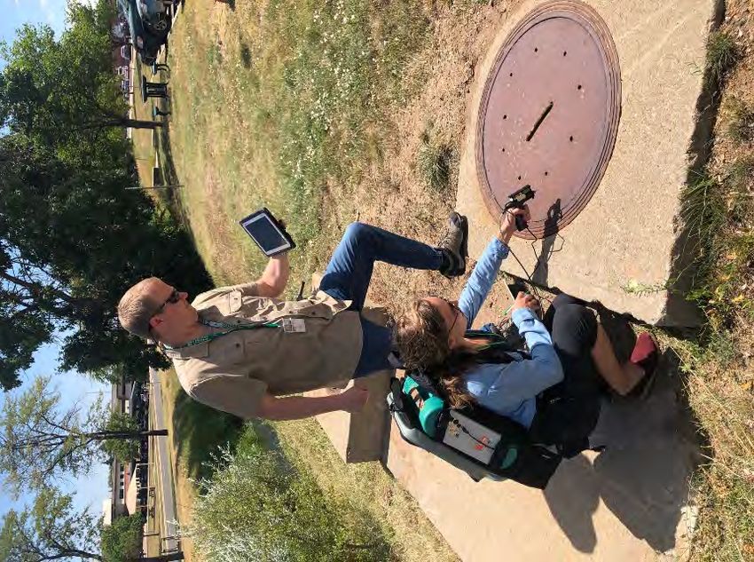
Ground Penetrating Radar
Photo: USGSPlatforms, sensors and data processing • The right tool for the right job -you may only need a Parrot Anafi to do compliance jobs. • Everybody wants to fly a DJI M600, but do you need to? • Rapid evolution/innovation • Data processing – well documented workflows are necessary • In the USGS, they run a data processing workshop using an expert.
Calibration

• Important for repeatability and quantitative applications. Sensors do
  not meet the manufacturer specs so need to test and calibrate
  yourself
• Panels – range of reflectivity

Pagnutti, 2019

                                                 Photo: Group 8 Technology
Spatial accuracy • Aeropoints (2/10 duds) • PPK, RTK - sometimes it seems you need to be a surveyor. • Cones for LiDAR
BVLOS operations
• DOI are able to conduct BVLOS operations under a Certificate of
  Waiver or Authorisation (COA) - blanket approval
• CASA require operators to use a SORA (Specific Operations Risk
  Assessment) when preparing to submit an operation for approval
   • Quantitative method for assessing the
   Operation
   • Airspace utilisation
   • Stakeholder engagement plan
   • Level 1 – 6
   Level 1 = remote airspace, low population
   density (
Other SSB learnings: working with foreign pilots/researchers
• TERN research in supersites in the NT and Qld (September 2018)
• Researchers/pilots from Belgium and the Netherlands
• Worked with CASA to put components in Operations Manual and Procedures to
  enable foreign pilots to undertake research or demonstrations under our ReOC.
What next?

 • BVLOS operations using VTOL-
   LiDAR and eventually
   hyperspectral
- Contract finalized
- $330K

 • Currently assessing water sample
   collection.

 • AI and cloud based work flows-
   assessing work flows in MS Azure
https://www.earthobsforum.org/
You can also read