NOAA satellites can track hurricanes and hundreds of missing people sending SOS signals - January 31 2023, by Dinah Voyles Pulver, USA Today ...
←
→
Page content transcription
If your browser does not render page correctly, please read the page content below
NOAA satellites can track hurricanes and
hundreds of missing people sending SOS
signals

January 31 2023, by Dinah Voyles Pulver, USA Today

Credit: Pixabay/CC0 Public Domain

Imagine being in a boat miles from shore when the engine fails, or

1/5
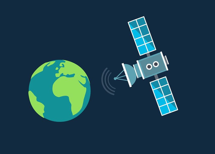
getting lost in a remote spot while hiking in the Rocky Mountains.
Having a beacon or transmitter that sends a distress signal via satellite
could mean the difference between life and death.

The same satellites that send compelling images when massive
hurricanes approach land or huge icebergs break off in Antarctica also
play a crucial role in helping to find and rescue people from potentially
life-threatening situations like these.

Activating a device that sends an emergency signal can mean the
difference between a search that takes a few hours or a search that could
take days, if it's successful at all.

Last year, satellite technology helped rescue 397 people throughout the
nation and surrounding waterways, according to information provided by
the National Oceanic and Atmospheric Administration and the National
Aeronautics and Space Administration. That's 67 more than last year,
but below the record high of 421 U.S. rescues in 2019.

How do satellites help rescue people?

When a lost hiker or a sinking boater turns on an emergency distress
beacon, it sends a signal that can be detected by the global Search and
Rescue Satellite Aided Tracking system.

The program "truly takes the 'search' out of search and rescue," stated
Steve Volz, assistant administrator for NOAA's Satellite and Information
Service.

Distress signals beamed from aircraft, boats and handheld personal
locator beacons are detected by a network of U.S. and international
spacecraft and used to send rescuers.

2/5
Since its beginnings in 1982, the network has supported more than
50,000 rescues worldwide.

When a satellite picks up a distress signal, it's related to NOAA's
Satellite Operations Facility in Suitland, Maryland, then dispatched to
coordination centers staffed by the Air Force for land rescues or the
Coast Guard for water rescues.

Water rescues occur most often

Of the 397 rescues in the nation last year, 275 were water-related, while
42 were from downed aircraft. Personal locator beacons were used in 80
land rescues.

The 106 rescues in Florida were the most of any state. Fifty-six were in
Alaska and 20 in Utah. The rescues included:

       A group of 17 hikers who were lifted to safety after being
       stranded on a backcountry hike in Sandthrax Canyon, Utah,
       thanks to a personal beacon.
       Seven rescued in November near Bethel, Alaska, after the Alaska
       Rescue Coordination Center got the coordinates of a commercial
       plane forced to land on a frozen lake when its engine failed.
       A man who grabbed his life raft and activated a beacon in August
       when his boat capsized and sank off the coast of New Smyrna
       Beach, Florida. He was lifted to safety by a Coast Guard
       helicopter.

How to buy a beacon that connects to satellites

Emergency transmitters and beacons, which—unlike your mobile phone
—don't rely on cellular networks, range in price and are sold online and
at outdoor stores. Registering a beacon with NOAA is required by law

3/5
and it may help rescuers to find you faster. It also allows responding agencies to check and eliminate false alarms, without sending a rescue squad unnecessarily. Since its investigation into the sinking of the El Faro shipping vessel in 2017, the National Transportation Safety Board has recommended at least four times that the Coast Guard require emergency beacons for crew members on ocean-going vessels. The "lifesaving promise of PLBs (personal locator beacons) cannot be overstated," board chair Jennifer Homendy said last fall. She also stated: "We cannot—must not—wait any longer. I'm urging all mariners and their employers not to wait; you can improve safety today." In December, Apple introduced a feature in its iPhone 14 and 14 Pro that allows users to signal a satellite in an emergency. The feature is available to users as a free service for two years. NASA used similar newly developed technology to track the Artemis I Orion Capsule when it splashed down into the Pacific Ocean in December. The agency stated the technology also will be essential for future moon missions by astronauts. In coordination with other systems, it could provide distress location services for missions on the lunar service and provide internet-like capabilities for humans stationed on the moon. 2023 USA Today. Distributed by Tribune Content Agency, LLC. Citation: NOAA satellites can track hurricanes and hundreds of missing people sending SOS signals (2023, January 31) retrieved 25 October 2023 from https://techxplore.com/news/2023-01-noaa-satellites-track-hurricanes-hundreds.html 4/5
This document is subject to copyright. Apart from any fair dealing for the purpose of private
                                   study or research, no part may be reproduced without the written permission. The content is
                                   provided for information purposes only.

                                   5/5

Powered by TCPDF (www.tcpdf.org)
You can also read