Advice on Where to ride and carriage drive
←
→
Page content transcription
If your browser does not render page correctly, please read the page content below
Advice on
Where to ride and carriage drive
in England and Wales
2
    The law and management of public access rights varies widely between the
    four countries of the United Kingdom. This advice note is written for England
    and Wales and although elements of the advice may be applicable in
    Scotland and Northern Ireland this cannot be assumed.

    More advice is available on www.bhs.org.uk/accessadvice
    For Scotland and Ireland see www.bhs.org.uk/bhs-in-your-area

    Finding places to ride and carriage drive
    If you move into a new area or acquire your first horse you will need to find where
    you can ride or drive safely, ideally away from motor traffic and roads.
    You may also decide you want to become involved in improving safe equestrian
    access in your area, in which case please contact us so we can try to put you in
    touch with others locally.
    There are three main sources of reliable information when looking for equestrian
    routes:
    • The Definitive Map of Public Rights of Way (England and Wales only)
    • Ordnance Survey 1:25,000 or 1:50,000 scale maps (England and Wales only)
    • Your local BHS Affiliated Equestrian Access Groups
    The primary places to ride are public rights of way: bridleways and byways.
    These are recorded on the Definitive Map and shown on Ordnance Survey Maps.
    Other places to ride are less easy to find and local Equestrian Access Groups may
    be able to help.

                                                        London Riding Horse Parade,
                                                                         Hyde Park

                              BHS Advice in England and Wales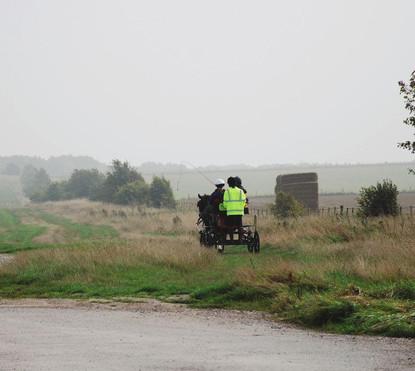
3

                                                               North Yorkshire Ride

The Definitive Map
The Definitive Map and its accompanying Statement are the legal record of the
position and status of public rights of way in England and Wales and are kept by
highway authorities (county councils or unitary authorities). The map is available
at local authority offices and can be viewed for free on request (you may need an
appointment). Many authorities also have their map on their website, perhaps
also showing minor unsurfaced roads, which can be valuable links for riders and
carriage drivers.
On the map you will be able to view whether a route is a footpath, bridleway,
restricted byway or byway, and generally assess the current situation of public
rights of way available to you in the area. They vary greatly: some areas have
many, others none. You may find that a route you thought was a bridleway is not
recorded as such. If that is the case, do investigate further as unrecorded rights
could be lost forever (see BHS Advice on Recording a Right of Way and
Toolkit 2026).
Changes are made frequently to the definitive map by complex orders to alter
the line of a route, to add or remove routes and change status (for example,
from footpath to bridleway. Therefore, most local authorities keep a ‘working
copy’, which includes all recent changes that may not yet have been published
as an updated or ‘consolidated’ definitive map, Maps on authorities’ websites
are likely to be the working copy.

                          BHS Advice in England and Wales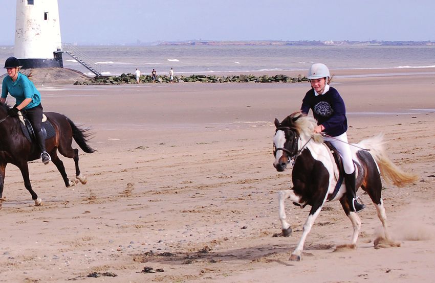
4

    Ordnance Survey Maps
    The 1:25,000 scale Ordnance Survey (OS) map (printed as the Explorer map with
    orange covers) are the best for finding equestrian routes as they show field
    boundaries, so it is easier to see exactly where a route goes. 1:50,000 scale
    Landranger maps will show equestrian routes too, but in less detail. Ordnance
    Survey maps show data from the councils’ Definitive Maps and from any
    confirmed orders making changes to rights of way. Ordnance Survey maps
    are quickly out of date, so always check with the highway authority to be certain
    whether a right of way is recorded.
    You can view and print sections of maps online on several websites such as
    Ordnance Survey and Streetmap and digital maps can be bought (or subscribed
    to) for use with GPS, smartphone or desktop applications.
    Paper OS maps can be bought online through many websites, and at bookshops,
    stationers or outdoor pursuit shops. You can view local ones at many libraries.
    You need to know:
    • On which kinds of highways shown on OS maps you have a right to ride
      or drive; and
    • Where else you are likely to be able to ride and how to find out about such
      places/routes.
    Look at the key to see which line styles relate to your routes. On 1:25,000 maps,
    bridleways are long green dashes (footpaths are short ones), restricted byways
    are long green dashes with alternating half bars and byways open to all traffic
    are long dashes with crossbars. The same line styles are used on the 1:50,000
    but appear pink.

                              BHS Advice in England and Wales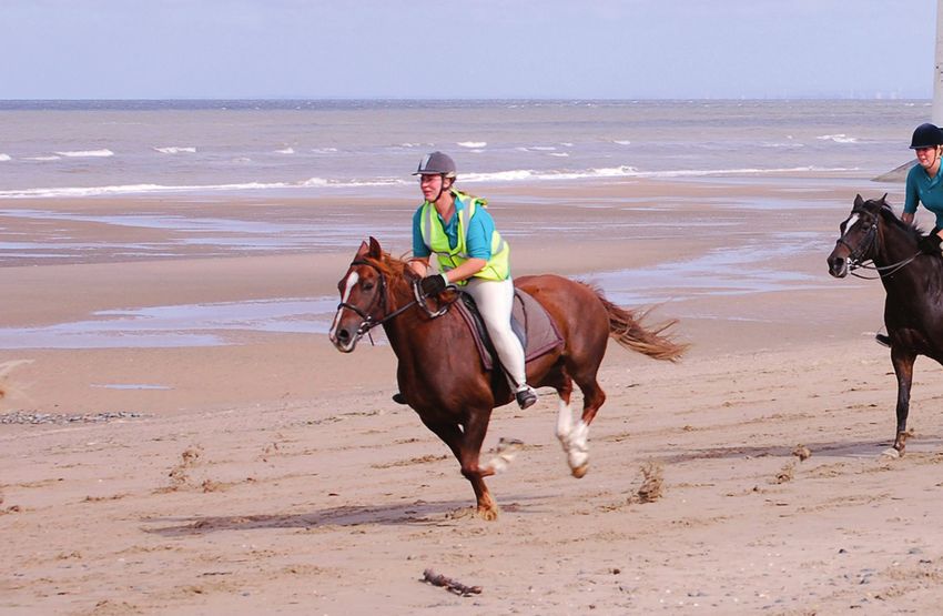
5

                                                                 Pennine Bridleway

The diamond symbols and a named route on an OS map do not imply a multi-
user trail. The rights on any section of such a route are those of the underlying
right of way. Often walking routes incorporate bridleways. This does not mean
that riders no longer have a right on the bridleway because it is promoted as a
walking route, but nor does it mean that footpath sections can be used by riders.

So you’ve found the routes – get your facts right…
This applies only to England and Wales as the law and rights are different in
Northern Ireland and Scotland.
It is essential that equestrians know the legal basis on which they are using any
facility. The normal rules of courtesy and good behaviour should govern our
conduct at all times, but where provision has been specially made for equestrians
there may be additional rules which have to be obeyed, such as times of access,
speed, specific tracks or areas.
There is a right of Open Access on foot (‘right to roam’) over designated land.
Riders and carriage drivers can continue to cross such land, which is marked
on recent OS maps, on existing rights of way or other highways and to exercise
any other pre-existing rights and concessions. Such rights are not affected by
any Restriction Order that may apply to the Open Access land. Landowners can
dedicate their Open Access land for horse-riding as well as walking.

                          BHS Advice in England and Wales
6

    Where do you have the right to ride or drive?
    • On all roads except motorways. There may be a Traffic Regulation Order
      (TRO), permanent or temporary, that suspends your right to use a particular
      road. Temporary TROs are often used while roads and right of way
      are repaired.
    • On some classes of public rights of way, which are shown on the Definitive
      Map and Ordnance Survey maps. They are:
    		     Bridleways – you can ride or lead a horse, walk or bicycle on a
    		     bridleway. Cyclists must, however, give way to riders and walkers.
    		     Motor vehicles driven by the public are not allowed on bridleways,
    		     nor are horse-drawn carriages, but may be allowed with the
    		     landowner’s permission.
    		     Restricted byways – are open to all non-mechanically propelled traffic,
    		     that is, on foot, horse, cycle and with a horse-drawn carriage, but not
    		     with a motor vehicle (unless with permission).
    		     Byways open to all traffic – open to all users including motor vehicles.
    Footpaths are for walkers only; there is no right to ride or drive on a footpath,
    but occasionally a footpath may have unrecorded higher rights, in which case
    you can exercise the higher rights if you know about them, or you may ride on a
    footpath with the permission from the landowner.
    On older maps you may see Roads Used as Public Paths instead of byways.
    RUPPs were mainly old roads used as if they were public paths (that is, footpaths
    or bridleways). The meaning of the terms was very confused for years following
    the 1949 National Parks and Access to the Countryside Act and subsequent
    legislation required their reclassification for greater clarity in the rights. Some
    were reclassified as bridleway, or even footpath. They remained a problem until
    the Countryside and Rights of Way Act 2000 which automatically reclassified any
    remaining RUPP as a Restricted Byway.
    Byways (restricted and open to all traffic), bridleways and footpaths are collectively
    called public rights of way or minor highways; the term highway covers any
    public right of way from an A road to a footpath. Footpaths and bridleways may
    collectively be called public paths.
    Farmers and adjacent house owners may have private rights of access with
    vehicles along any minor highway, such as the access road to a farm which is
    also a bridleway.
    People in wheelchairs, manual or electric, are allowed to use all rights of way.

                               BHS Advice in England and Wales
7
Minor Roads
Not all roads were surfaced with ‘tarmac’ or asphalt in the first half of the 20th
century and some of these remain as stone, earth or grass tracks and are
generally categorised by highway authorities as unclassified unsurfaced minor
roads. They are sometimes called ‘white roads’ from the way they appeared on
OS maps. Unclassified means they are not an A, B or C road. Highway authorities
and users familiar with them may call them UCRs (Unclassified/ Unsealed/
Unsurfaced County Roads.)
Unclassified roads may be shown on OS maps published since the 1990s with
green dots (1:25,000 Explorer) or dark pink dots (1:50,000 Landranger) as Other
Routes with Public Access (ORPAs). In many cases you can ride, and drive a
carriage, on a route shown as an ORPA. They vary from unsurfaced routes across
fields to stony tracks or fully surfaced lanes. In urban areas, they might be only
footpaths or cycle paths. On some you may meet motorised vehicles. Highway
authorities are often uncertain of the status of unclassified roads and may only be
able to declare them “at least a highway on foot”. Such routes need investigation
to ensure that the right to ride or drive will be protected and to
clarify for all users. You may also use:

Commons
Some, but not all, commons have statutory provision for people to take air and
exercise on horseback, depending on the Acts of Parliament governing the
particular common. On some commons there may be a Scheme of Management
which includes provision for ridden horses. If there are bylaws (which should
be noted and obeyed) they will be displayed on the common, otherwise seek
information locally about what is allowed. The right of access for recreation is
additional to the use of any rights of way or vehicular roads across the common.

Designated Horse Rides in Public Open Spaces
These are designated under bylaws made under an Act of Parliament for the site
and are most common in large urban areas or country parks. Often, such rides
have been specially constructed for the purpose and are exclusive to riders (and
drivers if carriage driving is permitted). Many were created to provide healthy
exercise for people. Less commonly, access may be over a designated area
rather than a route. Public Open Spaces are most commonly associated with
urban local authorities in and around London; well known examples are some of
the Royal Parks, Epping Forest, and the Metropolitan Commons.
Horse Rides are not shown on Explorer maps and many of the Public Open
Spaces may be too small to seem significant but still provide good lengths of
riding or extra facilities such as manèges. These will be shown on maps at
entrances or on information issued by the council. Use is usually subject to
bylaws which should be studied before you use the facilities. The bylaws are
posted at entrances but the relevant ones should be contained in any published
information.

                          BHS Advice in England and Wales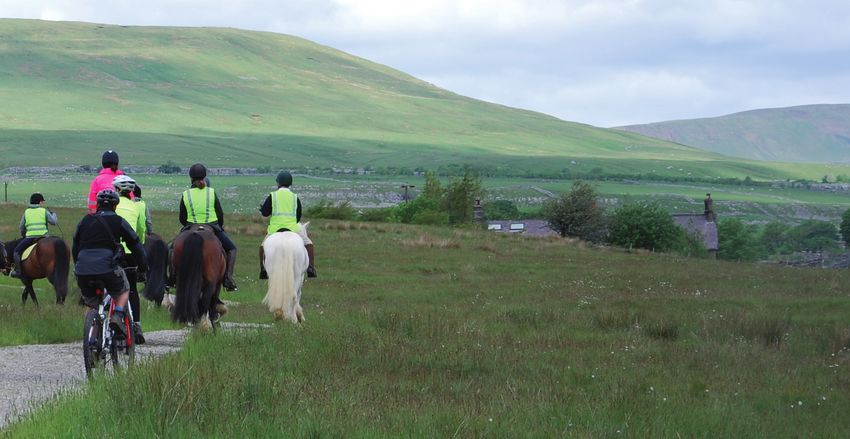
8

    Concessionary or Permissive Routes and Access
    These routes landowners have given permission for access use. The landowners
    vary from private owners to public and semi-public bodies.
    Permission can be withdrawn, which has happened where a facility has been
    abused or where land use has changed. Use is open to all who know about the
    route or, in some cases, area. In most cases the use is free, but sometimes a
    charge is made. In some places, a permit may be required.
    Some permissive routes are long term and shown on Ordnance Survey maps.
    Others may be provided through government funded agri-environment schemes,
    in which case you may only find about them locally or through Natural England or
    Natural Resources Wales.
    Under the terms of hard-won concordats with the Society and BHS Cymru, the
    Forestry Commission provides free equestrian access on its roads and tracks if it
    has no need to regulate access and if it owns the land. On land it leases, or where
    the Commission considers it necessary to regulate use, it requires equestrians
    to pay “a reasonable fee” for a permit, unless they are only using public rights of
    way. Not all Forestry Commission woods are open to riders and you will need to
    check locally whether a permit is required. A permit is valid throughout
    Great Britain.

                              BHS Advice in England and Wales
9

                                                                    Sea Horse Ride

Beaches and estuaries
Many beaches are open to riders but this may be subject to local rules or
bylaws limiting the hours or seasons when riding is allowed.
See www.bhs.org.uk/accessadvice for more information on Riding on
Beaches and Estuaries and a list of UK beaches which welcome horses (it also
lists BHS approved establishments that offer riding on beaches).
You are recommended to check with the local authority for more information
or in case the rules have changed.

Cycle Routes
Many local authority owned cycle routes, particularly those on old railways, may
be used by riders although this is often not advertised, simply because riders have
been forgotten in the promotion of cycling and walking. Care must be taken not to
damage the surface provided for cycles or to impede other users.
Many traffic free cycle routes are shown on OS maps with orange dots or you
can find out about them from your local authority. Check which ones, or which
sections, are open to riders. Where a promoted cycle route runs on a bridleway,
riders and walkers have priority over cyclists.

                          BHS Advice in England and Wales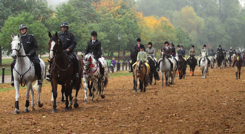
10

                                                Greyabbey Toll Ride, Northern Ireland

     Other bodies also operate permit systems
     The BHS supports permit schemes ONLY where there is absolutely no definitive
     or de facto right to ride and where they provide a useful addition to public rights
     for equestrians, both ridden and driven. The Society recognises that there are
     circumstances where a permit scheme may be an acceptable management tool
     which facilitates designated horse rides and drives.

     Country Parks
     Country parks and land owned or administered by public authorities often have
     concessionary horse routes provided as additional facilities for local residents and
     visitors. The tracks may not be exclusively for equestrians or specially constructed.
     There may be a code of conduct or bylaws with which you should familiarise
     yourself, or restrictions on hours of use.

     Permits and Toll Rides
     Permits are primarily a management tool for permitted access, often used to
     control numbers or ensure good behaviour, and some are issued without charge.
     Toll Rides are a subscription only for riders who pay into a money-raising scheme
     in return for a permit to ride on certain land or routes. The permits are usually
     annual ones, although some schemes provide visitors’ permits. Toll rides can be
     the only option where there are few bridleways or where stabling is cut off from
     rights of way by busy roads.
     Additional advice on toll rides may be obtained from the BHS Access and Rights of
     Way department.
     So long as provision of new public links is not prejudiced, the BHS believes that
     toll rides can provide a useful supplement to public rights of way locally where
     definitive or permissive routes do not exist.
     You can ride freely on bridleways and byways through areas which may be
     covered by permits or tolls for use of other routes but you are advised to ensure
     that you keep to the public rights of way if you do not have a permit.

                                BHS Advice in England and Wales
11
If you encounter a problem
If you encounter a problem, it should be reported to help other riders and drivers
so that off-road routes are kept open and easy to use. If the problem is on a
bridleway, byway or road, contact the rights of way department of the highway
authority (the county council or unitary authority). Many authorities have
problem-reporting facilities on their websites and this can be the quickest
way to make a report.
If the problem is on a site covered by bylaws, contact the organisation shown
on notice boards.
Where you have obtained a permit or paid a ‘toll’, contact that office
Join a BHS Affiliated Equestrian Access Group
The BHS has Equestrian Access Groups spread throughout England, Wales and
Northern Ireland and Riders Access Groups in Scotland, all of whom work to
defend, extend and promote equestrian access in their areas. They are likely to
have good knowledge of routes in the area they cover. You can find out if there is
a group near you on www.bhs.org.uk or by contacting access@bhs.org.uk if you
are interested in forming a group.
BHS Policy Statement on Use of Byways
The British Horse Society defends the appropriate use of highways by those who
are legally entitled to use them; it deplores irresponsible and damaging use by
any category of user, and supports the use of Traffic Regulation Orders, especially
temporary ones, to restrict use where appropriate to allow tracks time to recover
or be repaired.
BHS Advice in England and WalesIf this advice note is a printed copy, please check for the latest version on
www.bhs.org.uk/access-and-bridleways. Revised 12/2018
For more information on The British Horse Society’s
rights of way work contact:
Access and Rights of Way Department, The British Horse Society,
Abbey Park, Stareton Lane, Kenilworth, Warwickshire CV8 2XZ
Telephone: 02476 840581 email: access@bhs.org.uk
This advice note applies to England and Wales.
For information on Scotland, contact:
Helene Mauchlen, BHS National Manager for Scotland,
Woodburn, Crieff, Perthshire PH7 3RG
Telephone: 02476 840727 email: helene.mauchlen@bhs.org.uk
For information on Northern Ireland please contact:
Susan Spratt, National Manager for Ireland, Hawks Hill Cottage,
26 Portaferry Road, Greyabbey, Newtownards, Co. Down BT22 2RU
Telephone: 02476 840736 or 07808 141079 email: susan.spratt@bhs.org.uk
The British Horse Society is a Registered Charity Nos. 210504 and SC038516
Blocked and difficult to use bridleways and bywaysYou can also read