Road weather forecast for different customer systems in Switzerland
←
→
Page content transcription
If your browser does not render page correctly, please read the page content below
Road weather forecast for different customer
systems in Switzerland
André-Charles Letestu
MeteoSwiss
Introduction
Switzerland is a mountainous country and its motorways lie in a range of altitudes
extending from 300 m up to 850 m. It is crucial to provide an accurate forecast for
the maintenance staff of the motorway.
A road forecast is carried out every morning in each linguistic part of Switzerland
from the 1st of November until the 31st of March. The weather forecaster modifies
data imported from a numerical model using the ‘Road tool’ program which has also
been designed to deliver a forecast with different configurations according to the
systems Vaïsala and Boshung.
The forecast
A forecast is produced by the three centres in Switzerland corresponding to the three
linguistic regions. It is achieved everyday by around noon. In Zurich, the forecast is
reassessed in the evening. It is sent to users on different forms depending on
different operating systems, which are:
- Boshung (BORMA)
The parameters forecasted for this system are: the total cloud cover (including fog),
the 2m temperature, the road temperature, the dew point, the wind direction and
speed, the quantity of precipitation, the type of precipitation, the snowfall limit and
the state of the road. These parameters are averaged during a 3 hour period from
1pm on the forecasting day until 10 am the following day. They are averaged on
various sections of roads at an average elevation. The data are sent to a PC at the
different maintenance centres where the staff can visualise these data graphically,
moreover, these data are used in a prognostic software BorrCast24. This software
forecasts the state of the road (risk of frost, dampness, quantities of salt remaining)
at each location using hydric and thermic balance, measurements near and on the
road and the local characteristic of the road (bridge, ditch, hill etc.)
- Vaïsala
The parameters forecasted for this system are: the total cloud cover, the main cloud
type (high, medium, low), the 2m temperature, the dew point depression, the wind
speed and the precipitation type. These parameters are given for each location every
hour from 12 am on the forecasting day until 12 am the following day.
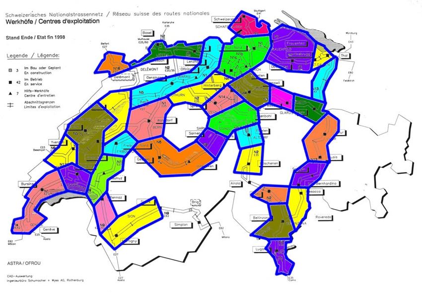
In Switzerland the Boshung system is the most widely used.Fig 1. The regions of Switzerland in which a road forecast is provided, they correspond to climatological regions and altitude of the roads. The Road tool program The program is written in an IDL code and it imports data from the aLMo (Alpine Model) numerical model. The aLMo is a fine mesh non-hydrostatic model (7 Km grid length) with 48 vertical levels. It is centred over the Alps with boundary conditions given by the Europa model of the German Meteorological Service (DWD). The aLMo provides a base on which the weather forecaster can produce a road forecast. He will modify the data from the model according to the local conditions. A MOS forecast based on the Europa model is now also available. Since the parameters and the format sent to the two systems (Borma and Vaïsala) are fairly different the program consist of two parts: BASIC: In this part, the forecaster makes a general forecast for a large area, for example Jura, western Alps, etc. The data are directly imported into the aLMo model output for locations corresponding to the location of automatic measuring stations (ASTA). For the 2m temperature and dew point forecast, a Kalman filter can be applied to the aLMo raw data for temperature and dew point. In order to produce a forecast for stretches of roads at various altitudes, a second measuring station at a higher altitude for the same area is chosen. For each parameter the weather forecaster modifies a time dependant diagram. The parameters to forecast are 2m temperature, temperature minus dew point, low cloud,
medium cloud, precipitation intensity, snowfall limit, wind direction and wind speed.
In case of stable conditions over a few days, it is also possible to import the forecast
from the previous day instead of using data from aLMo or to copy a forecast from
one region to another if the weather systems are not too localized. The program also
displays the evolution of the different parameters during the last 18 hours. The
forecast is saved by pressing ANALYSE and the forecaster can start the next part.

Fig 2. The basic part of the road forecast. In blue, forecast suggested by aLMo, in red, the forecast
made by the forecaster, in white the data from the previous day.

Borma and Vaïsala:
When BASIC has been achieved, the forecaster can begin a section by section road
forecast (shown in fig 1). The road sections have been delimited by two criteria; their
altitude and the operating system that manages them (Vaïsala or Boshung). In this
part, data from BASIC are imported and the parameters calculated according to the
elevation of the road. The road surface temperature is computed using an energy
balance model from DWD and the data from BASIC. At any time, the forecaster can
recalculate the surface temperature (when other parameters have been modified) by
pressing COMPUTE. The precipitation type is directly calculated using the
temperature and the snowfall limit. The graphical forecast is converted into a list that
is sent to the clients, after adding the state of the road with eventually a small text
enhancing the dangers.
Fig 3. Final product delivered to the clients, corresponding to the regions shown in fig 1.

Fax polling
In Switzerland, a new way to broadcast the forecast is through fax polling. The client
dials the number on his fax and the product is sent to him automatically. During the
winter, 4 different faxes are produced, corresponding to the climatological and
language regions; Basel-eastern part of the Jura, eastern part of the flat land,
eastern Alps and the French speaking part of Switzerland. Each of these faxes
display smaller climatological areas. The data are imported from the BASIC part of
the road tool program and the parameters shown are the 2m temperature, the
amount of precipitation, the snowfall limit and the state of the road. A forecast for the
following few days is added.
Fig 4. Example of a fax polling (for the French part of Switzerland) that the client can order directly
from his/her fax.
Verification
Recently, MeteoSwiss has been developing a verification scheme for this product. It
consists of a page printed everyday on which the forecasts produced by the duty
forecaster, by aLMo and by MOS are compared with the data from the automatic
measuring stations. This verification will allow us to estimate the added value of the
forecaster to the model.
Fig 5. Comparison between the forecast produced by the forecaster (red), aLMo (green) and MOS
(magenta) and the data from automatic measuring station (blue). The parameters checked are
temperature, dew point, precipitation and type of precipitation compared to the wet bulb temperature
of the automatic measuring station.
You can also read