Using the newest geospatial technologies to deliver innovative solutions - www.rss-hydro.lu
←
→
Page content transcription
If your browser does not render page correctly, please read the page content below
Using the
            newest geospatial
              technologies to
            deliver innovative
                      solutions

www.rss-hydro.lu

info@rss-hydro.lu   drones@rss-hydro.lu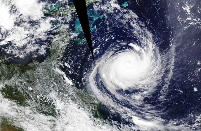
We are a dynamic R&D company which operates across fields in
  environmental remote sensing. We constantly strive to achieve
  inspiring and tailor-made solutions that make a genuine difference
  to our public & private customers, as well as society as a whole.

  Innovate to thrive

       R&D in
environmental
applications &
   water risks

                  info@rss-hydro.lu ; drones@rss-hydro.lu
                  www.linkedin.com/company/rss-hydro/about
                  www.rss-hydro.lu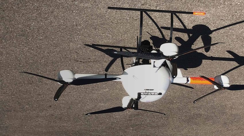
RSS-Hydro

Our
Mission

   • We are building on scientific advances in remote sensing and
     computer models to provide the best possible solutions to
     mitigate water-related risks
   • Science-based products & services in the areas of
     environmental remote sensing & model predictions
   • Leading cutting-edge research
   • Delivering scientific expert consulting
   • Building on strong public and private partnerships to address
     the challenges of our times

                                                 www.rss-hydro.lu    3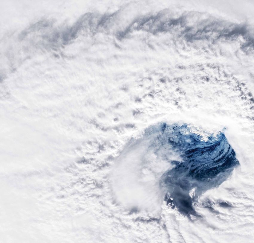
RSS-Hydro
Scientific innovation
leads to better
decision making
Our team of scientists and geospatial analysists use the best
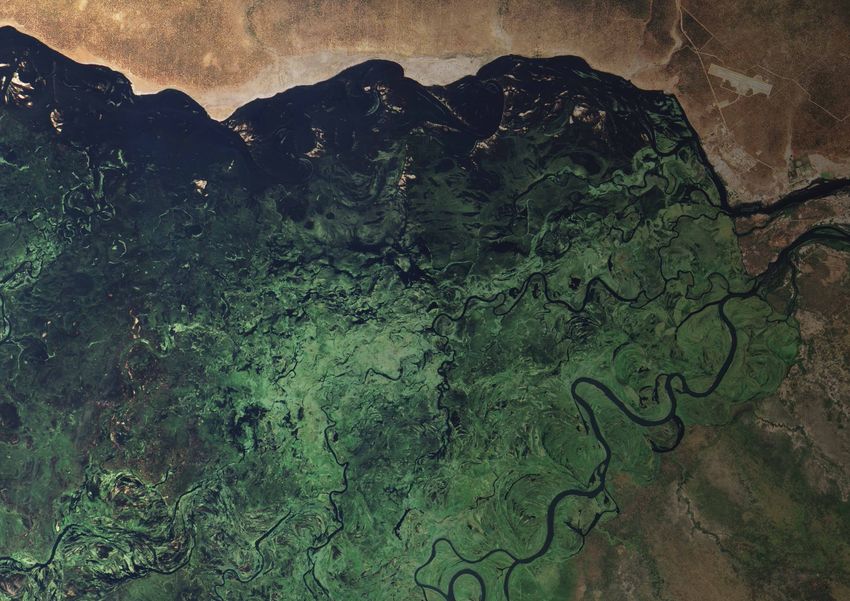
“We assist flood available scientific data and methods to help our clients and
society mitigate hydro-meteorological risks now and in the
disaster future. We assist flood disaster response efforts at global
level whilst also pushing the state-of-the-art in image
response efforts processing.
We employ traditional methods and machine learning
at global level models to extract the highest level of information from
geospatial datasets and unlock the full potential of remote
whilst also sensing for smarter flood hazard interpretation.
pushing the
state-of-the-
art in image
processing”
4 www.rss-hydro.lu
RSS-Hydro

Elevate to the next
level with the newest
geospatial technologies
                                    “Flooding accounts
                                          for some 40%
                                      of all loss-related
                                   natural catastrophes
                                              since 1980”
                                                   Munich Re

    RSS-Hydro uses advanced
           computer models to
accurately simulate water risks
     at impact-level scales and
    employs the best available
  remote sensing technologies
  to develop tailored solutions.

                                                  www.rss-hydro.lu   5
RSS-Hydro

    Offering drone-
    powered solutions
    Drone usage is increasing greatly in sectors like infrastructure,
    agriculture, transport, security, insurance, and research. Drones
    are a key-enabling non-contact technology that is also
    environmentally friendly.
    Our department RSS-Drones offers best-in-class technical
    solutions to address the problems of our times, from
    environmental and climate change-related issues to flood
    mapping and ecosystem health monitoring. We use high-end
    drones with newest sensor technologies to respond to
    every need.

    “It is possible
    to fly
    unmanned but
    not unskilled”

6   www.rss-hydro.lu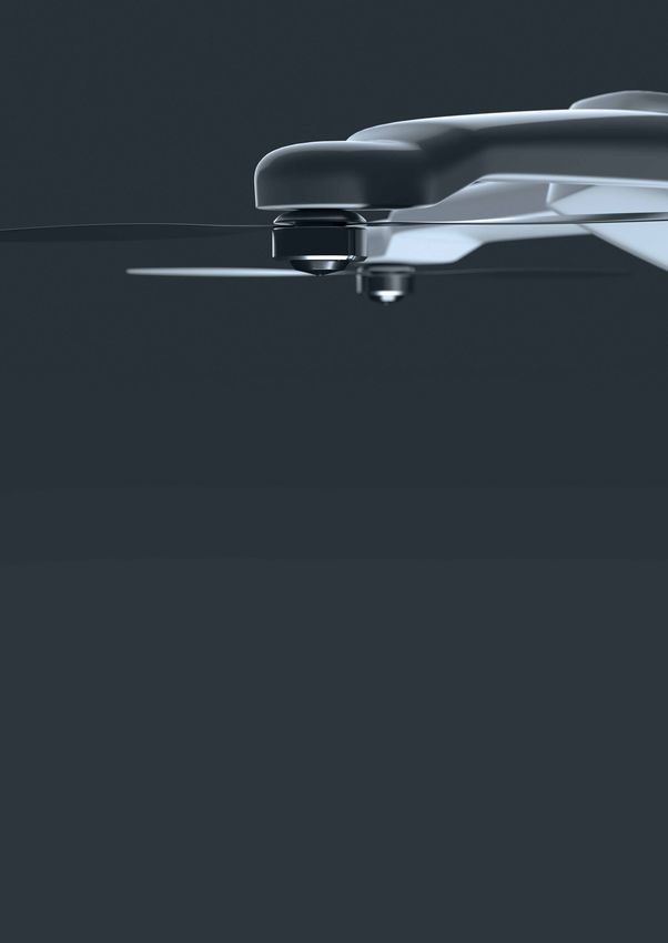
RSS-Hydro

The benefit
of choosing
RSS-Drones'
services
• Versatile, science-based products
• Environment friendly technology
• Complete workflow, from flight to final product
• Highly-skilled staff & trained pilots

Our services
& products
• High-precision terrain mapping
• Infrastructure mapping
• Precision viti- and agri-culture
• River and flood risk mapping

                                                    www.rss-hydro.lu   7
RSS-Hydro

    Showing leadership
    in research
    “We stand for open-data & publish our
    research in peer-reviewed scientific journals”
    RSS-Hydro works on cutting-edge research projects in partnership with national and international
    universities and research institutes.
    Leading R&D projects funded by governments, the European Commission, and the European
    Space Agency, in collaboration with the Luxembourg Space Agency.

8   www.rss-hydro.lu
RSS-Hydro

PhD & postdoctoral
training
RSS-Hydro’s government-accredited Research & Education Department
• We host and train PhD students and postdoctoral researchers
• Our scientists participate in various research initiatives and offer mentorship in
  several programmes
• Our team participates in the Frontier Development Lab (FDL), which is a
  public-private partnership with NASA and ESA. It brings together experts from
  space science, AI, and the commercial sector to solve the greatest challenges
  that humanity faces

                                                                  www.rss-hydro.lu     9
RSS-Hydro

     Building strategic
     partnerships
     RSS-Hydro has joined forces
     with the Luxembourg Institute
                                      “Scalable, cloud-based
     of Science and Technology
     and Italian-based company        analytical EO capabilities
     Fadeout Software to create a
     joint venture called WASDI,      are still rare as most of the
     with support from ESA and the
     Luxembourg Space Agency.         existing EO cloud solutions
     WASDI is an operating platform
     where experts can develop and
     deploy EO on-line applications
                                      focus on access to either
     without any specific IT/Cloud
     skills, and end-users can run
                                      data or compute resources”
     those EO apps from a user-
     friendly interface.              Paolo Campanella, Fadeout Software

                                        WASDI workflow diagram

10   www.rss-hydro.lu
RSS-Hydro
Professional
networking through
memberships
RSS-Hydro is a proud member of:
The Luxembourg Space Cluster, which brings together
organisations with space activities, covering space telecom,
GNSS, Earth observation, maritime security and safety, and
space related technologies.
EARSC coordinates and promotes the activities of European
companies engaged in delivering EO-derived geo-information
services, covering the full EO value chain.
A worldwide community improving access to geospatial
information, connecting people, communities, and technology.
OGC creates free, publicly available geospatial standards that
enable new technologies.
www.rss-hydro.lu 11Dr Guy Schumann Founder and CEO RSS-Hydro info@rss-hydro.lu ; drones@rss-hydro.lu www.linkedin.com/company/rss-hydro/about www.rss-hydro.lu
You can also read