Bushfires and Knowledge - Forest, Fire and Regions Group Science Catalogue 2019-20
←
→
Page content transcription
If your browser does not render page correctly, please read the page content below
Bushfires and Knowledge
      Forest, Fire and Regions Group
         Science Catalogue 2019–20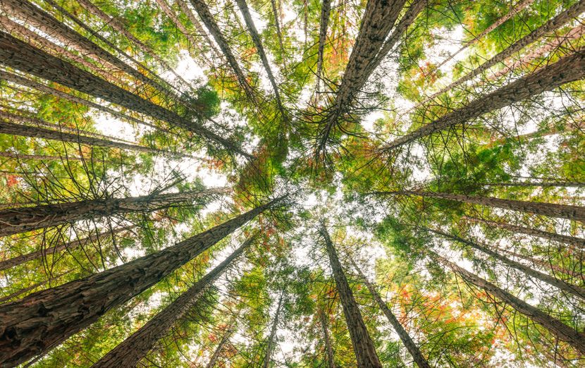
© The State of Victoria, Department of Environment, Land, Water and Planning (DELWP), 2020

     This work is licensed under a Creative Commons Attribution 4.0 International licence. You are free to re-use the
     work under that licence, on the condition that you credit the State of Victoria as author. The licence does not apply
     to any images, photographs or branding, including the Victorian Coat of Arms, the Victorian Government logo
     and the Department of Environment, Land, Water and Planning (DELWP) logo. To view a copy of this licence, visit
     creativecommons.org/licenses/by/4.0/

     ISBN 978-1-76105-164-7 (pdf/online/MS word)

     Disclaimer
     This publication may be of assistance to you, but the State of Victoria and its employees do not guarantee that the
     publication is without flaw of any kind or is wholly appropriate for your particular purposes and therefore disclaims
     all liability for any error, loss or other consequence which may arise from you relying on any information in this
     publication.

     Accessibility
     If you would like to receive this publication in an alternative format, please
     telephone the DELWP Customer Service Centre on 136186, email customer.
     service@delwp.vic.gov.au, or via the National Relay Service on 133 677
     www.relayservice.com.au. This document is also available on the internet at
     www.delwp.vic.gov.au.

ii   BUSHFIRES AND KNOWLEDGE FOREST, FIRE AND REGIONS GROUP
     DEPARTMENT OF ENVIRONMENT, LAND, WATER AND PLANNING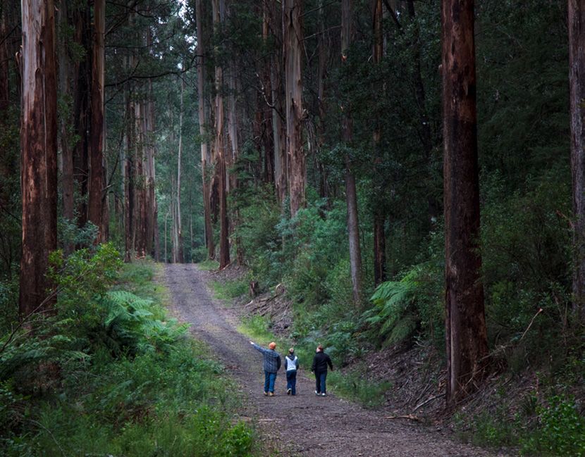
Contents

ForewordIv

The Forest, Fire And Regions Group Science Catalogue 2019–20                       6

Integrating Science With Policy And Operations                                     8

Case Study: Leveraging Our Research                                               10

Working In Partnership With Communities                                           12

Case Study: Smoke Modelling                                                       13

Smoke Modelling                                                                   15

Bushfire Prediction Research                                                      16

Case Study: Hydrofire – Assessing Post-Fire Water Risks                           19

Case Study: Fire Analysis Module For Ecological Values (FAME)25

Ecosystem Modelling And Resilience                                                27

Modernising Regional Forest Agreements                                            32

Environmental Compliance                                                          35

Appendix 1: Fire And Adaptive Management Research Reports                        38

                                                                                         iii
                               BUSHFIRES AND KNOWLEDGE FOREST, FIRE AND REGIONS GROUP
                                   DEPARTMENT OF ENVIRONMENT, LAND, WATER AND PLANNING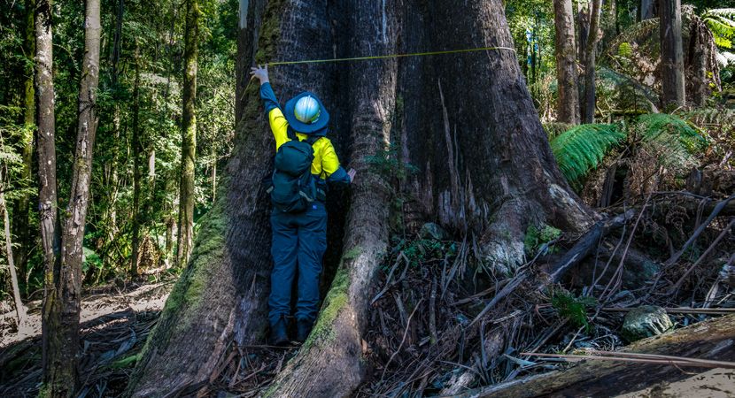
Foreword

     Now in its fifth iteration, the annual Forest, Fire and Regions
     Group (FFR) Science Catalogue provides an overview of our
     current science research program.

     The catalogue showcases projects by theme,               The 2019–20 fire season has been significant
     enabling us to share knowledge, encourage                and the collaboration and partnerships formed
     conversations to support management                      through FFR’s research program have been
     decision-making and highlight the innovative             instrumental in providing up-to-date and
     ways in which our science has been integrated            timely access to information and modelling,
     into policy and operational management                   data and maps, and real-time support. These
     practices.                                               partnerships and the way in which science
                                                              and innovation have been integrated into our
     With investment or leverage in scientific                policy and operational practices are highlighted
     research valued at more than $5 million a year,          through case studies.
     our program includes projects in forests and
     bushfire, as well as environmental compliance            These case studies remind us that ongoing
     and the modernisation of Victoria’s Regional             investment in science is pivotal in ensuring we
     Forest Agreements.                                       continue to improve our understanding of forest
                                                              management on public land in Victoria.

iv   BUSHFIRES AND KNOWLEDGE FOREST, FIRE AND REGIONS GROUP
     DEPARTMENT OF ENVIRONMENT, LAND, WATER AND PLANNING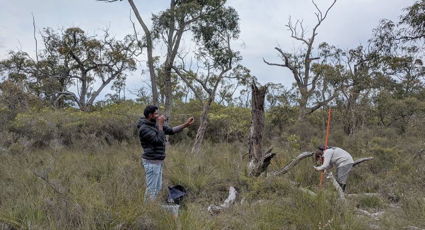
Credit: Salahuddin Ahmad. DELWP.

                                                          v
BUSHFIRES AND KNOWLEDGE FOREST, FIRE AND REGIONS GROUP
    DEPARTMENT OF ENVIRONMENT, LAND, WATER AND PLANNING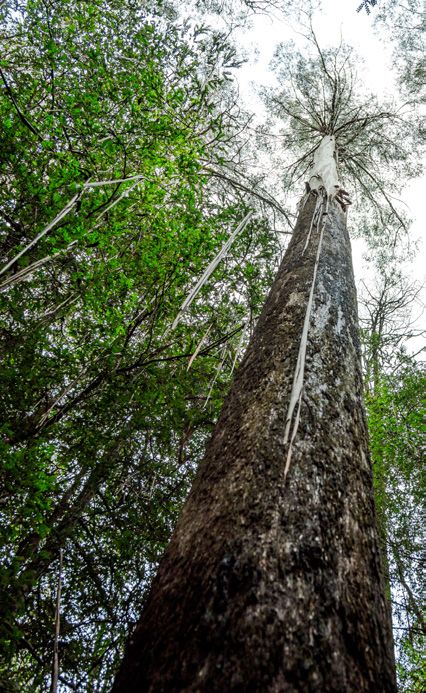
Section 1

    The Forest, Fire
    and Regions Group
    Science Catalogue
    2019–20

6   BUSHFIRES AND KNOWLEDGE FOREST, FIRE AND REGIONS GROUP
    DEPARTMENT OF ENVIRONMENT, LAND, WATER AND PLANNING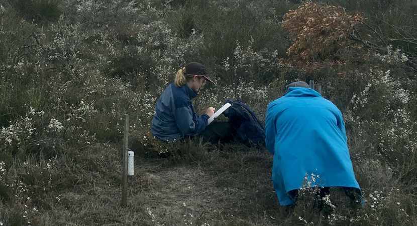
Credit: Gary Sheridan. University of Melbourne.

                                                            7
BUSHFIRES AND KNOWLEDGE FOREST, FIRE AND REGIONS GROUP
    DEPARTMENT OF ENVIRONMENT, LAND, WATER AND PLANNING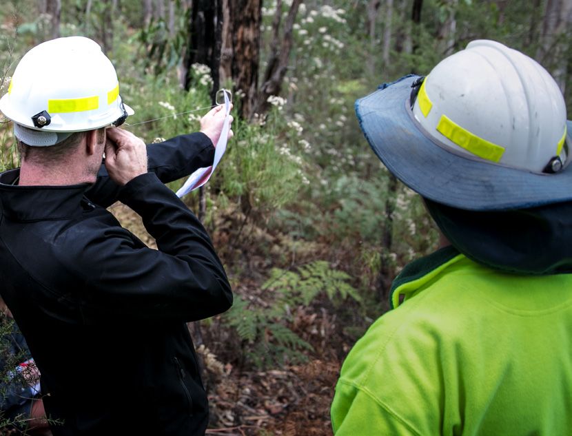
Integrating science with
    policy and operations
    The Integrated Forest Ecosystem Research (IFER) Agreement
    is a long-term research agreement between FFR and the
    University of Melbourne. Since 2010 this collaboration has
    made a significant contribution of evidence to shape a range
    of contemporary FFR policies and management practices.

    Today we are better informed about the                   Robust science, models and datasets provided
    design of planned burning regimes to benefit             a unique opportunity for the University of
    biodiversity and minimise carbon loss. We                Melbourne and FFR to build an integrative
    have improved the predictability of bushfire             approach to landscape scale, land-
    behaviour so that suppression is better                  management decision-making. The Landscape
    targeted to minimise environmental, social and           Decision Support System (DSS) outlined
    economic damage; and we have developed                   below was initiated in 2017 and is now firmly
    risk assessment tools that enable better                 embedded in each IFER project.
    prediction of post-fire water hazards, such as
    contamination, debris flows and flooding.                The IFER program is committed to providing
                                                             an integrated and cohesive evidence base for
                                                             forest science and management to support:
                                                             comparisons of multiple forest values, spatially
                                                             based decisions, forward-looking decisions and
                                                             quantification of uncertainties.

                                                                              Credit: Salahuddin Ahmad. DELWP.

8   BUSHFIRES AND KNOWLEDGE FOREST, FIRE AND REGIONS GROUP
    DEPARTMENT OF ENVIRONMENT, LAND, WATER AND PLANNING
Table 1. Integrating science with policy and operations – current projects
Project title Description Management outcome
Landscape The DSS recognises and The DSS provides an interface
Decision emulates the drivers of for land managers to explore
University of Melbourne Preferred Logo Applications
Support System change in Victoria’s forested the impacts of natural drivers
(DSS) landscape and brings world- and policy interventions
Primary A: Vertical Housed Logo
class science into a scenario-
Primary A: Vertical Unhoused Logo
on multiple forest values. It
modelling framework. The supports FFR to identify the
framework enables land best policy interventions to
managers and communities to achieve outcomes for Victoria’s
interactively explore potential forests that are environmentally
changes in multiple forest sound and publicly acceptable.
values arising from policy The DSS will:
interventions and key external • inform decision-making
drivers at landscape, regional processes
and state-wide scales. These
• incorporate values of a broad
interventions include the use
Note: the Primary A Vertical Unhoused logo should only sit on a UoM Blue background
(Refer to Brand Guidelines Colour Palette). This means that if the background colour of
range of stakeholders
of fire, extraction of forest
your document is UoM Blue, you can place the unhoused logo directly onto it. If the
background is not UoM Blue – it is another colour, or even an image – you must use the
housed version of the logo.
products, management of • provide scenarios to reflect
LOGO TYPE PRINT
pests and weeds, habitat
WEB/DIGITAL alternative management
CMYK EPS
CMYK JPEG
maintenance
and restoration, objectives and/or actions
PNG
RGB other land-use practices • deliver forecasting of
and engagement with biophysical, social and
communities.
• CMYK EPS (.eps) file formats are scalable vector art images to be used with professional economic values over tactical
design software and printing.
• CMYK JPEG (.jpg) file formats are compatible standard image files for general print use. and strategic time periods
•
The DSS prototype is due early
PNG (.png) and RGB (.rgb) files are suitable for web and other digital uses (such as digital
signage systems). • enable transparent
2020 and will be refined and
• The .png files have transparent backgrounds. Depending on your internet browser, the
transparent background may display as white or grey. communication of modelling
expanded over the next three
output alternatives
years by:
• provide for the exploration of
• extending its focus from the
adaptive management within
Central Highlands of Victoria
the decision-making process
to other forest landscapes
• have a user-friendly
• developing and integrating
interface.
a broader set of scenarios
based on community and Completion date: June 2022
stakeholder consultation
• examining and
recommending ways
to present multiple risk
metrics to stakeholders and
communities
• improving the useability
of the DSS interface in
response to feedback from
FFR users.
9
BUSHFIRES AND KNOWLEDGE FOREST, FIRE AND REGIONS GROUP
DEPARTMENT OF ENVIRONMENT, LAND, WATER AND PLANNING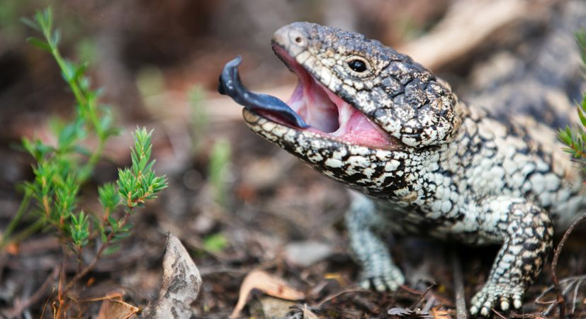
CASE STUDY:
     LEVERAGING OUR RESEARCH
     More than just research
     A critical component for any research program            • student participation – postgraduate
     is the add-on value to Victorian communities               students on a research project develop
     for government investment. This “leverage”                 expertise, increase operational capability
     is where cost-free additional resources,                   and provide diversity. In most instances
     services or other contributions are provided to            they are supported by stipends from the
     Department of Environment, Land, Water and                 Commonwealth, universities or AusAid. In
     Planning (DELWP) research to supplement and                some instances, they are training for future
     strengthen our science.                                    DELWP employment, bringing skilled workers
                                                                into the Victorian Government
     Leverage can include:
                                                              • in-kind staff and operating – services
     • expert advice and elicitation – professional             provided to the research by the institution at
       advice in response to a request from DELWP               no cost to DELWP, including staff, operating
       for science evidence on an emerging issue                and/or resources and administrative
     • grants and co-funding – where DELWP funds                overhead reductions.
       are used to support a grant proposal, such
       as an Australian Research Council (ARC)
       Linkage program, which if successful, provides
       additional funds of at least the same amount
       as DELWP contributes
     • partnerships, consortium approaches and
       links to other research – delivers extended
       expertise, connections to other research work,
       and other relationship benefits; represents
       a greater opportunity for high value science
       and benefits DELWP by bringing all the
       available expertise in a field together, building
       on existing quality science or the potential to
       quickly access expert review of research work

10   BUSHFIRES AND KNOWLEDGE FOREST, FIRE AND REGIONS GROUP
     DEPARTMENT OF ENVIRONMENT, LAND, WATER AND PLANNING
Real value
In real terms, leverage provides a direct In 2019, DELWP and the University of Melbourne
benefit to DELWP’s research program conducted a review of the program to ensure
and demonstrates our research partners’ it remains targeted and effective at delivering
commitment to delivering world-class evidence science that enables better decision-making.
to support our decision-making. As part of this review, we looked at the leverage
provided by the program and identified that
In 2012, DELWP formally established the over ten years an additional $15 million in
Integrated Forest Ecosystem Research resources, not funded by DELWP, had been
agreement with the University of Melbourne provided to the program:
(although it has been operating in principle
• ARC Linkage Program (seven projects) $3
since 2010). Over its lifespan, this program has
million
delivered research that has helped to shape
a range of DELWP policies and management • other grants (22 projects) $8.1 million
practices. We are now better informed about • PhD student funding $3.9 million.
the design of planned burning regimes to
benefit biodiversity and minimise carbon loss; At the same time, DELWP accessed real-
we have improved the predictability of bushfire time scientific advice to support emergency
behaviour; and we have risk assessment tools response to bushfires, answered questions
that enable better prediction of post-fire water about carbon accounting, responded to
hazards, such as contamination, debris flows emerging biodiversity threats from bushfire and
and flooding. a suite of other issues.
What projects did the ARC help us fund?
Using fire to manage biodiversity in fragmented landscapes (Professor Alan York lead)
New methods for mapping variation in forest water use in time and space (Professor Pat Lane lead)
Predicting extreme erosion and sediment delivery from upland forests (Professor Pat Lane lead)
Remotely sensed forest water uses in space and time (Professor Pat Lane lead)
Defining the intangible: incorporating contested social values into native forest management
(Professor Kathryn Williams lead)
Incendiary cultures: co-constructing resilience to engage with fire and risk in landscape
management (Dr Ruth Beilin lead)
Reversing the loss of Leadbeater’s Possum habitat (Associate Professor Craig Nitschke lead)
11
BUSHFIRES AND KNOWLEDGE FOREST, FIRE AND REGIONS GROUP
DEPARTMENT OF ENVIRONMENT, LAND, WATER AND PLANNINGWorking in partnership
with communities
FFR investment in research to better For example, a group of projects with the
understand the values, perceptions or University of Melbourne have built on each
risk, and tools for improving interactions in other to develop concepts and approaches
Victorian communities has been pivotal to us for measuring values in different contexts,
understanding and improving how the sector and strategies and guidance for incorporating
interacts with communities. Independently these values in decision-making. This program
and in collaboration with Victorian emergency of research now enables FFR to seek practical
sector partners, FFR has invested in research ways to apply our understanding of values to
with the University of Melbourne, LaTrobe decision making, and to evaluate how this might
University and Risk Frontiers. support elements such as objective-setting,
analysis of impacts, community engagement
and moving towards decisions.
Table 2. Working in partnership with communities – current projects
Project title Description Management outcome
Understanding This research will focus on Through this project FFR will
social licence addressing two barriers: the have:
for forest lack of scientific knowledge • data on impacts that can
University of Melbourne Preferred Logo Applications
management in around the impact of forest inform future forest policy
management on key social and strategic planning for
Victoria
Primary A: Vertical Housed Logo values, especially fewer
Primary A: Vertical Unhoused Logo
climate adaptation
tangible values; and challenges
• data that will improve
with integrating diverse forms
models of experiential values
of knowledge in fire and forest
underpinning the IFER DSS
decision making.
• an understanding of
The project will research: relational factors influencing
• the impacts of changing social licence to strengthen
forests and adaptive forest DELWP’s community charter
management on public and the Engage@DELWP
values
Note: the Primary A Vertical Unhoused logo should only sit on a UoM Blue background
framework
(Refer to Brand Guidelines Colour Palette). This means that if the background colour of
your document is UoM Blue, you can place the unhoused logo directly onto it. If the
• community perspectives
background is not UoM Blue – it is another colour, or even an image – you must use the • improved capability to
housed version of the logo.
on adaptative forest plan and engage staff
LOGO TYPE PRINT WEB/DIGITAL
management strategies in appreciating and
CMYK EPS
incorporating diverse forms
CMYK JPEG
• knowledge cultures,
PNG
of knowledge in decision
RGB
expectations and
making.
relationships that shape
• CMYK EPS (.eps) file formats are scalable vector art images to be used with professional
design software and printing. social licence. Completion date: June 2022
• CMYK JPEG (.jpg) file formats are compatible standard image files for general print use.
• PNG (.png) and RGB (.rgb) files are suitable for web and other digital uses (such as digital
signage systems).
• The .png files have transparent backgrounds. Depending on your internet browser, the
transparent background may display as white or grey.
12 BUSHFIRES AND KNOWLEDGE FOREST, FIRE AND REGIONS GROUP
DEPARTMENT OF ENVIRONMENT, LAND, WATER AND PLANNINGCASE STUDY:
SMOKE MODELLING
Collaborating on a
complex problem
Driven by DELWP’s responsibility to deliver Throughout the development phase stakeholder
a planned burning program for bushfire risk involvement included the:
mitigation – in a manner which also minimises • Environment Protection Authority (EPA)
risk to the population from smoke exposure –
• Department of Health and Human
FFR started investing in research and model
Services (DHHS)
development for smoke emission and transport
in 2012. • Australasian Fire Authorities Council (AFAC).
Although smoke management research The AFQx model was supported by DELWP,
programs began in the early 2000s, a 2008 CSIRO, BoM and AFAC throughout its
survey of smoke system users highlighted development, use and hosting, and as it
the value of a more detailed and quantitative transitioned to operational use.
smoke forecast model, laying the foreground for
While FFR identified the drivers for the research,
a smoke emission and transport model, the Air
it was through the input of stakeholders
Quality Forecasting System (AFQx).
from across emergency sector agencies and
Planned burn windows can coincide with poor research organisations that the full needs of the
smoke dispersal conditions and the potential for system’s design were identified, and the work
microscopic airborne particles to persist in the scoped.
air for an extended period, reducing air quality.
Through workshops and interviews, an
Therefore, better understanding of smoke
understanding of operational procedures for
emissions and particle transportation can be
planned burning was used as the foundation
used to reduce community impact and improve
to identify where contemporary science and
management practices such as the scheduling
modelling systems could be used to improve
of planned burns and issue of community
the program. At the same time, knowledge gaps
health warnings.
were identified that could be addressed during
Established with funding from DELWP, which project planning.
also committed relationship support and sector
technical expertise, the research delivery was
led by Commonwealth Science and Industrial
Research Organisation (CSIRO) in partnership
with the Bureau of Meteorology (BoM). The
University of Melbourne, Monash University,
Macquarie University and Wollongong
University also contributed to the project.
13
BUSHFIRES AND KNOWLEDGE FOREST, FIRE AND REGIONS GROUP
DEPARTMENT OF ENVIRONMENT, LAND, WATER AND PLANNINGAccountability to government Research making a difference
and community Without AQFx, Victoria would not have
the knowledge required to make informed
Although newly established, this research
decisions about managing smoke from planned
provided advice and direction for improvement
burning operations. It has provided planned
following the Hazelwood mine fire in 2014
burn coordinators with predictions of smoke
and subsequent Inquiry. Project fact sheets,
dispersion that enables state wide management
briefings and reports to Inspector-General
of both planned burn numbers and timing of
for Emergency Management, helped answer
ignition to manage air quality.
community and government concerns and
ensured learning and improvement followed. FFR and the CFA are now collaborating to
Through model demonstrations and meetings investigate using AQFx to manage smoke
about the needs of the sector, stakeholders impacts from all forest and agricultural burning
had the opportunity to interact with the model, in Victoria. FFR is also developing more robust
comment on its development and be included in procedures and guidelines for practitioners
a trial of the model. with regards to smoke management. AQFx is a
crucial product in the suite of tools available.
In 2018, DELWP, CSIRO, BoM, the Victorian
Predictive Services Board and AFAC began
using AFQx, which provided the emergency
sector with capacity to model the spread and
accumulation or dispersal of smoke for planned
and unplanned fire.
Evaluation of smoke forecasts during periods
of heavy burning shows AQFx is useful for
predicting the spatial and temporal variation of
smoke and air pollution. The model is now fully
operational in Victoria and is being rolled out
nationally by AFAC and BoM.
14 BUSHFIRES AND KNOWLEDGE FOREST, FIRE AND REGIONS GROUP
DEPARTMENT OF ENVIRONMENT, LAND, WATER AND PLANNINGSmoke
modelling
The smoke emission and transportation model, Air Quality Forecasting System (AFQx) developed
by CSIRO, BoM and other institutions in partnership with DELWP has enabled emergency sector
partners to better understand smoke impact on communities and industries. Building on AFQx, the
current suite of research projects will work on validating and calibrating the models and continue to
improve DELWP’s understanding of community health impacts and thresholds for smoke.
Table 3. Smoke modelling – current projects
Project title Description Management outcome
Smouldering: This project will improve AFQx Improving AFQx will help
Improved by improving planned burn support decisions around
quantification emissions and plume rise data whether and where to conduct
of emissions inputs during the smouldering planned burns, reducing the
phase. risk of bushfires and planned
and plume rise
burns, which can negatively
to improve the This will result in more impact communities through
forecasting of robust and accurate smoke smoke emissions. :
smoke levels and forecasting and assist in
better provide health protection messaging. Completion date:
health protection December 2020
messaging
(ERP 20)
ARGOS plume This project will reconstruct Identifying areas of
model review of the emissions and downwind improvement to the AFQx
South West fires concentrations of PM2.5 from model following the Peat fires at
(ERP 21) the March 2018 Cobden peat Cobden, Victoria in March 2018.
fires to determine the level
of accuracy from the plume Completion date: May 2020
modelling and air quality
forecasting systems during
the incident.
The reconstruction will identify
areas of improvement for
algorithm and input data in
the models.
15Bushfire prediction
research
FFR has a strong commitment to better understanding and predicting bushfire. Our investment in
the Phoenix RapidFire fire behaviour and simulation model has transformed bushfire management
decision-making in Victoria. Phoenix makes a direct and ongoing contribution to bushfire
management policy and operations, including community warnings and engagement, and resource
allocation and planning both before and during bushfires. Improving this model and increasing the
accuracy of its modules will improve predictions of individual fires; have flow on effects in improved
operations, including community warnings; and improve the efficacy of the many tools that use
Phoenix RapidFire as inputs.
By improving Phoenix RapidFire and developing new and innovative modelling capacity, DELWP’s
commitment to investment in bushfire prediction modelling continues.
Table 4. Bushfire prediction research – current projects
Project title Description Management outcome
Identifying Planned burning, as Evidence to enhance delivery
planned burn one mechanism for fuel and broader seasonal
windows (ERP 9) management on public and planning of planned burn
private land, is an important operations, through:
way to protect communities
University of Melbourne Preferred Logo Applications • greater understanding of
and natural environments in trends and variability in
Victoria from the negative burn window availability,
Primary A: Vertical Housed Logo Primary A: Vertical Unhoused Logo
impacts of bushfire. interactions
This project will analyse • planned burn prescriptions
data collected since 1972 and evidence for seasonal
to optimise the planning planning.
and delivery of the planned
Completion date:
burning program and provide
September 2019
greater understanding of
planned burning windows This project is funded under
available on a daily and Safer Together, supported by
seasonal basis.
Note: the Primary A Vertical Unhoused logo should only sit on a UoM Blue background
(Refer to Brand Guidelines Colour Palette). This means that if the background colour of FFR and led by both FFR and
your document is UoM Blue, you can place the unhoused logo directly onto it. If the
background is not UoM Blue – it is another colour, or even an image – you must use the
housed version of the logo.
the CFA.
LOGO TYPE PRINT WEB/DIGITAL
CMYK EPS
CMYK JPEG
PNG
RGB
• CMYK EPS (.eps) file formats are scalable vector art images to be used with professional
design software and printing.
• CMYK JPEG (.jpg) file formats are compatible standard image files for general print use.
• PNG (.png) and RGB (.rgb) files are suitable for web and other digital uses (such as digital
signage systems).
• The .png files have transparent backgrounds. Depending on your internet browser, the
transparent background may display as white or grey.
16 BUSHFIRES AND KNOWLEDGE FOREST, FIRE AND REGIONS GROUP
DEPARTMENT OF ENVIRONMENT, LAND, WATER AND PLANNINGProject title Description Management outcome
Effectiveness This project will evaluate the Improved evidence and
of resources effectiveness of a wide suite understanding of how
to suppress of fire suppression techniques effective fire management
bushfire: Aerial and practices, such as aerial agencies are at suppressing
and ground-based techniques, fire will enable more effective
and ground
and the development of a fire management responses
based (ERP 12) conceptual suppression and reduce the impact of
effectiveness management fire on communities and the
tool. environment.
It will identify the knowledge, By exploring the effectiveness
methods and data of resources to suppress
requirements currently used, bushfires from both the air
or under consideration, and the ground, Victorian
internationally, nationally, and bushfire management
within Victorian fire agencies. agencies will be able to
identify potential inefficiencies
Recommended data and make recommendations
requirements will help to to improve efficiencies.
ensure this tool is statistically
robust, as will testing and Completion date:
evaluating the tool over a fire December 2020
season.
This project is funded under
Safer Together, supported by
FFR and led by both the CFA
and DELWP.
Credit: Amy Smith. University of Melbourne.Project title Description Management outcome
Development The tools currently used to A clearly defined needs
of seasonal fire produce the seasonal fire analysis that enables
prediction tools forecast Southern Australia Victoria to:
(ERP 14) Seasonal Bushfire Outlook, • direction set the
limit its ability to be: development of seasonal fire
• both readily updated and forecast products
verified through the fire • answer key questions on
season, and the frequency, visualisation
• able to meet decision- and acceptable levels of
making needs of fire uncertainty of the seasonal
agencies and communities. fire forecasts.
This project will review, and Completion date:
clearly define, the needs of October 2020
fire agencies in Victoria for the
development of new seasonal This project is funded under
fire forecasting products, Safer Together, supported by
which will be used for a variety FFR and led by both the CFA
of strategic decision making and DELWP.
and risk assessment functions.
Cropland fire Crop fires cause significant Through the development of a
behaviour losses each year – yet cropland fire behaviour model,
(ERP 15) their spread is not clearly this project will:
understood and current fire • provide improvements in
modelling tools aren’t accurate predicting and modelling
in predicting crop cropland fire behaviour,
fire behaviour. which will
This project will: • provide a basis for
improved community
• conduct experimental burns
risk communication and
to develop a baseline for
cropland fire response by
measuring fire spread on
agencies.
cropland
• consider a variety of Completion date: June 2020
factors, including whether
harvesting has occurred This project is funded under
and crop row orientation in Safer Together, supported by
relation to the wind. FFR and led by both the CFA
and DELWP.
18 BUSHFIRES AND KNOWLEDGE FOREST, FIRE AND REGIONS GROUP
DEPARTMENT OF ENVIRONMENT, LAND, WATER AND PLANNINGCASE STUDY: HYDROFIRE –
ASSESSING POST-FIRE WATER RISKS
In Victoria’s unique natural environment, the impact of
bushfire can be significant, especially on water.
Post-fire debris flows, the most common cause
of major water contamination events after
Innovation that improves
bushfire and flash flooding are common for community outcomes
several years after a bushfire in Victoria. They
can be extremely destructive – damaging To do this DELWP has collaborated with the
infrastructure such as buildings, roads and University of Melbourne which has brought
bridges, and in the worst cases, lead to loss of world class science to a real-world problem,
human life. This was evident in 2003 when a developing a user-friendly hydrogeomorphic
post-bushfire fire debris flow in the Buckland risk model HydroFire to assess the risk of post
Valley in Victoria’s North East (>1.2 million ha) fire flash floods, water contamination and
resulted in a person dying. Montecito, California debris flow impact.
has similar post fire conditions to Victoria. In
2018, 25 people died as a result of post-fire flash HydroFire has been developed and deployed
flooding and debris flows in Montecito -– more so that it can: easily integrate into a variety of
fatalities than the direct impact of the fire itself. operational environments, including strategic
burn planning, broadscale post-fire risk
While debris flows are mostly generated on assessment; and target impacts on high value
public forested land, the impacts are distributed assets such as Melbourne’s water supply and
more broadly, affecting waterways, water community infrastructure.
supplies and communities. DELWP recognises
that post-fire recovery efforts require a rapid HydroFire is now used routinely in operations
assessment of community needs and post- every fire season by DELWP’s Bushfire Rapid
fire risks. To do this requires tools to identify Risk Assessment Teams (BBRATs) to provide
specific assets at risk, such as water supply recovery advice and issue warnings.
reservoirs, buildings, communities, roads, Each time the model is used at a bushfire,
or threatened aquatic species. This informs information is collected to ensure we fill gaps
response planning, such as protection of at- in our knowledge and improve the model for
risk assets, the timely provision of appropriate use at the next bushfire. The latest research
warning advice and the temporary provision of findings are incorporated to periodically update
alternative water supplies. the risk models.
19
BUSHFIRES AND KNOWLEDGE FOREST, FIRE AND REGIONS GROUP
DEPARTMENT OF ENVIRONMENT, LAND, WATER AND PLANNINGDeveloping HydroFire
Early research to understand the magnitude of For example, the post-fire risk models created
the impact of fire on water quality in Victoria needed to encapsulate the latest science. They
revealed enormous variability across the state; also needed to be simple and robust enough
some areas experienced extreme erosion and to be implemented reliably in a timely way
water contamination events, while in other by staff with a typical level of technical skill
areas, the impacts were minor. We learned that and resources at their disposal. Incorporating
post-fire debris flows, previously a little-known this perspective early in the HydroFire model
process in Victoria, were a frequent occurrence. specification ensured an optimal balance
Further investigation showed that these flows between the technical detail of the science and
dominated post-fire impacts on water quality the usability of the new knowledge. Creating a
and were an important factor in infrastructure model structure within HydroFire that enables
damage and community safety. new research to be periodically integrated,
without increasing the model complexity, has
As a result, the University of Melbourne research also assisted the rapid integration of new
team focused on this high-magnitude erosion science into practice.
process, asking why did debris flows occur in
some places and not others, how likely were The development of long-term research
they to occur, and, how big would the erosion relationships between the University of
events be when they did occur? These questions Melbourne and DELWP was essential to the
have been answered in some parts of Victoria, delivery of HydroFire. It provided the stability to
however uncertainty remains for areas that pursue long-term research and an environment
have not recently been burned, and therefore for two-way feedback critical to understanding
where post-fire runoff and erosion has not been the operating environment and enabling the
measured. knowledge and innovation that delivered
HydroFire.
Critically, the research team understood
that the “usability” gap between the work The rapid integration of new science into FFR
researchers produce and DELWP’s need to policy, planning and operations has been a
inform decision making in a timely manner, highlight of this research.
needed to be closed. Complex, often highly
specified research outcomes needed to be Read the National Public Radio USA article on
synthesised, with a broad contextual basis, in this collaboration, published February 2020.
a very tight timeframe to respond to a rapidly https://www.npr.org/2020/02/10/803669266/
evolving bushfire management environment. with-australia-s-hillsides-stripped-bare-by-
fire-scientists-work-to-predict-mudf
To overcome this challenge the research team
began by analysing DELWP’s critical needs in
delivering this risk assessment, considering the
organisational and operational constraints,
such as time, resources, skills and continuity.
20 BUSHFIRES AND KNOWLEDGE FOREST, FIRE AND REGIONS GROUP
DEPARTMENT OF ENVIRONMENT, LAND, WATER AND PLANNINGSelected References
Nyman P et al. 2015, ‘Predicting sediment
delivery from debris flows after wildfire’,
Geomorphology, vol. 250, pp. 173-186.
Nyman P et al, 2011, ‘Evidence of debris flow
occurrence after wildfire in upland catchments
of south-east Australia’, Geomorphology, Vol.
125(3), pp. 383-401.
Sheridan G, Lane P & Nyman P, 2019, Erosion.
in P Pereira et al,(eds), Fire Effects on Soil
Properties (pp. 89-113), CSIRO Publishing.
HydroFire was developed through
a research project – Developing
methods to assess post fire
risks of flash flooding, water
contamination and debris flow
impact delivered by the Integrated
Forest Ecosystem Research (IFER)
program between FFRG and the
University of Melbourne.
Credit: Salahuddin Ahmad. DELWP.
21
BUSHFIRES AND KNOWLEDGE FOREST, FIRE AND REGIONS GROUP
DEPARTMENT OF ENVIRONMENT, LAND, WATER AND PLANNINGTable 5. Associated fire management, predictive and behavioural research – current projects
Project title Description Management outcome
Planned burn This project will identify and The severity mapping will
mapping in develop future management improve DELWP’s capability
Victoria using options and technologies for to repeatedly and reliably
remote sensing planned burn mapping. It will map and report on planned
capture changes in time and burning outcomes, as a
(Sch 22)
space, including horizontal critical input into a risk-based
and vertical changes in approach to strategic bushfire
vegetation structure, using management planning.
remote sensing technologies.
Completion date:
September 2019
User interface This project will develop a user The development of an easily
platform for interface to facilitate access accessible user interface
the Victoria to the historic fire weather- platform for the Victorian
historical gridded dataset developed in historical fire weather-
collaboration between DRI and gridded dataset will inform
fire weather-
Monash University, funded by risk tools for strategic,
gridded dataset DELWP. tactical and community
(ERP 10) engagement purposes and
This dataset has many be used by Victorian bushfire
applications and is currently management agencies.
located on a database with
limited capacity to service Completion date:
the wide range of end-users December 2019
seeking access. These include
regional and district risk This project is funded under
analysts from all agencies. Safer Together, supported by
FFR and led by both FFR and
The project will design and test the CFA.
a user-friendly data platform for
the interface and develop online
training for the wider user base.
22 BUSHFIRES AND KNOWLEDGE FOREST, FIRE AND REGIONS GROUP
DEPARTMENT OF ENVIRONMENT, LAND, WATER AND PLANNINGProject title Description Management outcome
Creation of The existing fire weather- By creating a GFDI dataset,
a Grass Fire gridded dataset for Victoria fire agencies will better
Danger Index includes multiple weather understand grassland fire
(GFDI) dataset variables and Forest Fire danger and improve their
Danger Index (FFDI) outputs; understanding of the fire
(ERP 13)
however, it does not provide danger rating system.
outputs for grass fire danger.
This will complete the fire
This project will develop an weather-gridded dataset and
historical GFDI dataset to provide fire managers with a
complement FFDI and to useful resource for research,
improve understanding of planning and preparedness.
the entire Fire Danger Rating
system. This will be achieved Completion date:
by combining a curing dataset December 2019
derived from archived satellite
This project is funded under
data with the Victorian
Safer Together, supported by
historical fire weather data.
FFR and led by both the CFA
This will complete the fire and DELWP.
weather-gridded dataset to
allow for analysis of historic
bushfire risk.
Credit: Salahuddin Ahmad. DELWP.Project title Description Management outcome
Relationship While Victoria’s Ash and A conceptual model of
between soil damper foothill forests are flammability in ash and
and fuel drying mostly too wet to sustain damper foothill forests and
– flammability fire, many of Victoria’s worst an evaluation of the ability of
bushfires have occurred here. moisture metrics to predict
switch in ash
fire occurrence will enable
forests and While they transition from a wet
University of Melbourne Preferred Logo Applications fire management agencies to
damper foothill to drier state after prolonged
better prepare for and mange
forests periods of hot and dry weather,
Primary A: Vertical Housed Logo Primary A: Vertical Unhoused Logo bushfires in ash and damper
and can sustain large-scale
foothill forests.
severe fires, there is little
scientific understanding as to The project outcomes can
how much drying is needed also be incorporated into fire
for these forests to switch from danger ratings, which will
a ‘dormant’ state to one that improve readiness levels and
promotes freely spreading fire. the communication of fire
danger to communities.
This research will develop
a model to help predict the Completion date: June 2021
likelihood of a fire occurring
Note: the Primary A Vertical Unhoused logo should only sit on a UoM Blue background
and spreading in Victoria’s
(Refer to Brand Guidelines Colour Palette). This means that if the background colour of
your document is UoM Blue, you can place the unhoused logo directly onto it. If the
background is not UoM Blue – it is another colour, or even an image – you must use the
This project is funded under
housed version of the logo.
ash and damper foothill forest, Safer Together, supported by
LOGO TYPE PRINT with a focus on factors that
WEB/DIGITAL FFR and led by both the CFA
CMYK EPS transition forest
fuels into a and DELWP.
CMYK JPEG
PNG flammable state.
RGB
• CMYK EPS (.eps) file formats are scalable vector art images to be used with professional
design software and printing.
• Testing and The validation and refinement
CMYK JPEG (.jpg) file formats are compatible standard image files for general print use. High quality fire severity
of the GEE fire severity
• PNG (.png) and RGB (.rgb) files are suitable for web and other digital uses (such as digital
improving
signage systems).
mapping will be valuable for
map tools will improve the
• The .png files have transparent backgrounds. Depending on your internet browser, the
mapping
transparent background may display as white or grey.
fire management planning
produced by accuracy and consistency of and refining models used
fire history spatial datasets to assess flora and fauna
Google Earth
generated by DELWP. responses to fire.
Engine (GEE)
fire severity This project aims to improve the The project will enable
map tools quality of fire severity mapping FFR to understand, make
and the capacity of FFR staff to management decisions and
map fire severity by: report on planned burning
• testing and training the with a more robust evidence
current GEE fire severity base.
map tools for mapping of low
severity prescribed burns Completion date: February
2020
• identifying new mapping
approaches that overcome
data gaps in severity
mapping due to cloud
affected imagery
• building capacity within FFR
to facilitate ongoing use and
future refinement of the fire
severity map tools.
24 BUSHFIRES AND KNOWLEDGE FOREST, FIRE AND REGIONS GROUP
DEPARTMENT OF ENVIRONMENT, LAND, WATER AND PLANNINGCASE STUDY: FIRE ANALYSIS MODULE
FOR ECOLOGICAL VALUES (FAME)
Data for decision making
The FFR science program has provided Employing these resilience metrics, and
extensive information that defines the effects information of effects of fires on individual
of fire on environmental variables, in order to species, requires accessing a vast number of
ensure that fire management meets the primary files and models that delineate the diversity
objectives for bushfire management on public of plants and animals and the impacts of
land in Victoria, as outlined in the Code of fire on those species as well as implementing
Practice for Bushfire Management (the Code): technical computer modelling approaches. The
1. to minimise the impact of major bushfires technical and resourcing challenges associated
on human life, communities, essential and with producing the necessary information
community infrastructure, industries, the in a timely and accessible manner presents
economy and the environment significant challenges for their use in supporting
decisions and reporting on effectiveness of fire
2. to maintain or improve the resilience of
management strategies.
natural ecosystems and their ability to deliver
services such as biodiversity, water, carbon Working with the Arthur Rylah Institute (ARI),
storage and forest products. FFR initiated a research project aimed at
consolidating thousands of files that contain
Focusing on the environment in the first object
ecological data and models into a single, easily
of the Code, DELWP assesses the impact
accessible and useable platform to support
of fire management on individual species’
ecological risk assessments and evaluate
populations and vegetation communities. In
the effectiveness of bushfire management
addition, DELWP’s policy position on ecosystem
strategies at achieving the objectives of The
resilience recommends the use of three metrics
Code.
that define how fire events affect ecosystem
condition or ‘states’ over time: This was the key to these models being fully
• Tolerable fire interval (TFI) utilised by a wide suite of staff and for a broad
• Geometric mean abundance (GMA) set of applications, including fire management
decisions and effectiveness reporting.
• Vegetation growth stage structure (GSS)
25
BUSHFIRES AND KNOWLEDGE FOREST, FIRE AND REGIONS GROUP
DEPARTMENT OF ENVIRONMENT, LAND, WATER AND PLANNINGUsing structured decision-making tools
User-friendly development and principles, this project took an iterative
While led by ARI the research team collaborated approach. Five workshops with key stakeholders
closely with researchers at the University of refined the ecological objectives and ongoing
Melbourne and La Trobe University, as well as regular communication with the core policy
FFR staff from groups with strong stake in the and user stakeholders reduced the ambiguity
outcome. of terms and clarified the objectives for the
different uses the model would have.
Together they delivered a framework that
brings together existing ecological models This process ensured that the module was
into a single source and defines the criteria fit-for-purpose and users had ownership
for how the models should be curated, used to over its development. This work was
inform decision making and updated with new followed by presentations to a broader
monitoring and research data. The framework group of stakeholders to enable a growing
seeks to: understanding and use of FAME.
• consolidate existing ecological models
• identify current gaps in the modelling Structured decision-making
framework
• develop a conceptual framework for delivers
developing ecological models and applying This structured and collaborative research
them as part of ecological risk assessment created an online analysis tool for FFR that
and decision-making considers the impacts of planned fire on
• develop FAME to integrate analyses across biodiversity. FAME enables fire planners to
ecosystem resilience metrics and threatened evaluate the impacts of alternative fire regimes
species on species and vegetation, and ultimately
• document the process and process map for supports explicit consideration of ecological
how new data collected through monitoring objectives in fire management.
and research can potentially be integrated
into the model updates. FAME has been used in the Strategic Bushfire
Management Planning process across the state
A participatory approach with stakeholders and has facilitated the evaluation of impacts on
throughout the project was important for forest ecosystems from changing fire regimes
finding a balance between FAME’s state-wide under climate change.
consistency and regional flexibility.
26 BUSHFIRES AND KNOWLEDGE FOREST, FIRE AND REGIONS GROUP
DEPARTMENT OF ENVIRONMENT, LAND, WATER AND PLANNINGEcosystem modelling
and resilience
Ecological research evidence provides an important role in informing a wide range of planning
and operational management, including strategic fire management planning in Victoria. Recent
research about fire and its relationship to ecosystem resilience, disturbance regimes and landscape
heterogeneity have been used in the development of DELWP policy in defining, measuring and
reporting on ecosystem resilience. This work underpins the Monitoring, Evaluation and Reporting
(MER) Framework for bushfire management on public land.
Table 6. Ecosystem modelling and resilience – current projects
Project title Description Management outcome
Understanding Forest Biodiversity and The project will improve:
and predicting Community Dynamics have • forest value metrics,
Victoria’s forest explored the impacts of predictors, and functions
biodiversity environmental variation and
• model parameterisation
fireApplications
University of Melbourne Preferred Logo management on diversity
and community • scenario development and
for the past nine years. More
dynamics recently they have integrated implementation
Primary A: Vertical Housed Logo Primary A: Vertical Unhoused Logo
growth stage optimisation • technology transfer and
and landscape simulation community engagement.
models, to explore the impact
of alternative scenarios of All of which will deliver
planned burning, in interaction improved capability of
with bushfire, on plant diversity. forest and fire managers to
predict the consequences
This project will provide a of alternative forest
stronger empirical basis for management strategies
including biodiversity and on biodiversity values and
community dynamics as forest
Note: the Primary A Vertical Unhoused logo should only sit on a UoM Blue background
(Refer to Brand Guidelines Colour Palette). This means that if the background colour of community dynamics in the
your document is UoM Blue, you can place the unhoused logo directly onto it. If the
values, including in the DSS, by:
background is not UoM Blue – it is another colour, or even an image – you must use the
housed version of the logo. context of a changing climate
• exploring the impacts of and altered fire regimes.
LOGO TYPE PRINT WEB/DIGITAL
CMYK EPS bushfire on rainforest and
CMYK JPEG Completion date: June 2022
PNG mixed forest
communities
RGB
• investigating the impact
• of bushfire on plant
CMYK EPS (.eps) file formats are scalable vector art images to be used with professional
design software and printing.
composition
• CMYK JPEG (.jpg) file formats are compatible standard image files for general print use.
• PNG (.png) and RGB (.rgb) files are suitable for web and other digital uses (such as digital
signage systems). • using modelling to explore
• The .png files have transparent backgrounds. Depending on your internet browser, the
transparent background may display as white or grey.
the potential for unburnt
areas to provide long-term
habitat to future fires and
climate change.
27
BUSHFIRES AND KNOWLEDGE FOREST, FIRE AND REGIONS GROUP
DEPARTMENT OF ENVIRONMENT, LAND, WATER AND PLANNINGProject title Description Management outcome
Ecosystem This project will research the This project will provide:
resilience – effects of fire, including both • knowledge and evidence to
collection and bushfire and planned burning, support decision making
analyses for first on ecosystem resilience by: for strategic bushfire
two of 11 priority • assessing ecosystem management
ecological fire resilience metrics across two • accountability and reporting
groups (EFGs) ecosystems against key policy objectives
(ERP 2) • measuring their for ecosystem resilience
effectiveness for guiding fire • knowledgeable
management conversations with
• providing data for models communities about
and tools used for decision ecological outcomes.
making in relation to bushfire
management across the Completion date: June 2021
state, specifically ERP1.
Credit: Amy Smith. University of Melbourne.Project title Description Management outcome
Ecosystem This project focuses on The outputs of this research
resilience – developing technology to will be used to:
technological support the monitoring being • improve the current
advances to undertaken in the ERP 2 project monitoring methodology
and as an input to ERP 1.
increase efficiency • update the standard
of ecosystem It will increase the efficiency operating procedures (SOPs)
resilience of future monitoring through • provide better data to
monitoring development of improved support evidence-based
(ERP 22) field data capture, camera decision making for bushfire
technology, and automated management in Victoria.
image analysis and
classification. Completion date: June 2021
Ecosystem This project will analyse state- This project enables FFR to
resilience data wide and regional monitoring critically assess and adapt its
(ERP 6) data to answer key evaluation ecological monitoring KEQs.
questions (KEQs) for both
improvement and impact. Completion date:
University of Melbourne Preferred Logo Applications
September 2019
Consolidation of this data
Primary A: Vertical Housed Logo will be used to determine the
Primary A: Vertical Unhoused Logo
effectiveness of KEQs, as well
as develop analysis protocols
to answer KEQs.
The project will make
recommendations on
necessary adjustments to
the monitoring program to
ensure data is adequate to
answer KEQs.
Note: the Primary A Vertical Unhoused logo should only sit on a UoM Blue background
(Refer to Brand Guidelines Colour Palette). This means that if the background colour of
your document is UoM Blue, you can place the unhoused logo directly onto it. If the
background is not UoM Blue – it is another colour, or even an image – you must use the
housed version of the logo.
Ecosystem LOGO TYPE PRINT This project will research the
WEB/DIGITAL This project will provide:
CMYK EPS
resilience –
CMYK JPEG effects of fire, including both • knowledge and evidence to
PNG
RGB collection
bushfire and
planned burning, support decision making
and analyses on ecosystem resilience by: for strategic bushfire
• CMYK EPS (.eps) file formats are scalable vector art images to be used with professional
forsoftware
design theandthird printing.
• assessing ecosystem management
• PNGof(.png)
11 andpriority resilience metrics across a
• CMYK JPEG (.jpg) file formats are compatible standard image files for general print use.
RGB (.rgb) files are suitable for web and other digital uses (such as digital • accountability and reporting
signage systems).
ecological fire key ecosystem against key policy objectives
• The .png files have transparent
University backgrounds.
of Melbourne Depending
Preferred on your
Logo internet browser, the
Applications
transparent background may display as white or grey. •
groups (EFGs) measuring effectiveness for for ecosystem resilience
(ERP 24) guiding fire management • knowledgeable
Primary A: Vertical Housed Logo Primary A: Vertical Unhoused Logo
• providing data for models conversations with
and tools used for bushfire communities about
management decision- ecological outcomes.
making across the state,
specifically, ERP1. Completion date: June 2021
29
Note: the Primary A Vertical Unhoused logo should only sit on a UoM Blue background
(Refer to Brand Guidelines Colour Palette). This means that if the background colour of
your document is UoM Blue, you can place the unhoused logo directly onto it. If theProject title Description Management outcome
Using fire FFR has adopted three broad These improved ecosystem
to manage indicators of ecosystem resilience metrics will lead to
biodiversity in resilience. Developed in large more efficient and effective
University of Melbourne Preferred Logo Applications
fragmented continuous forests, their bushfire management across
suitability to fragmented the diverse and fragmented
landscapes
Primary A: Vertical Housed Logo landscapes is unknown.
Primary A: Vertical Unhoused Logo Victorian landscape. They
will improve FFR’s capacity
As some areas of Victoria to quantify the effect of fire
contain highly fragmented management, both planned
landscapes, this project aims to: burning and bushfires on
• assess the effect of fire ecosystem resilience in
management on ecosystem fragmented landscapes.
resilience
Completion date:
• build quantitative links
September 2020
between fire management
strategies and biodiversity
Note: the Primary A Vertical Unhoused logo should only sit on a UoM Blue background
(Refer to Brand Guidelines Colour Palette). This means that if the background colour of
your document is UoM Blue, you can place the unhoused logo directly onto it. If the
conservation in these
background is not UoM Blue – it is another colour, or even an image – you must use the
housed version of the logo.
environments.
LOGO TYPE PRINT WEB/DIGITAL
CMYK EPS
CMYK JPEG
PNG
RGB
Spatially
Fire is a major driver of the
The project will develop a
explicit structure and function of the framework for determining
• CMYK EPS (.eps) file formats are scalable vector art images to be used with professional
solutions for
design software and printing. high-conservation value and optimal fire regimes for
• CMYK JPEG (.jpg) file formats are compatible standard image files for general print use.
•
managing
PNG fire
(.png) and RGB (.rgb) files vulnerable
are suitable for web and other Mallee
digital uses (such as digital and foothills biodiversity conservation in
signage systems).
ecosystems. Mallee woodlands, shrublands
• and
The biodiversity
.png files have transparent backgrounds. Depending on your internet browser, the
transparent background may display as white or grey. and foothills forests, enabling
A strong history of fire better fire management
University of Melbourne Preferred Logo Applications
research in each ecosystem decisions.
provides a wealth of data on
Primary A: Vertical Housed Logo Primary its plants,
A: Vertical Unhousedbirds,
Logo reptiles and Completion date: 2020
mammals.
This project will develop a suite
of spatially explicit models
and tools that enhance
the capacity to design and
evaluate alternative fire
management strategies
for biodiversity in these
ecosystems.
Note: the Primary A Vertical Unhoused logo should only sit on a UoM Blue background
(Refer to Brand Guidelines Colour Palette). This means that if the background colour of
your document is UoM Blue, you can place the unhoused logo directly onto it. If the
background is not UoM Blue – it is another colour, or even an image – you must use the
housed version of the logo.
LOGO TYPE PRINT WEB/DIGITAL
CMYK EPS
CMYK JPEG
PNG
RGB
•CMYK EPS (.eps) file formats are scalable vector art images to be used with professional
design software and printing.
•CMYK JPEG (.jpg) file formats are compatible standard image files for general print use.
30 BUSHFIRES
• PNG (.png) and AND KNOWLEDGE
RGB (.rgb) FOREST,
files are suitable for FIRE
web and other digital AND REGIONS
uses (such as digital GROUP
DEPARTMENT
signage systems).OF ENVIRONMENT, LAND, WATER AND PLANNING
• The .png files have transparent backgrounds. Depending on your internet browser, the
transparent background may display as white or grey.You can also read