How to remotely map a city's public transport network during a pandemic - July 9-11, 2021
←
→
Page content transcription
If your browser does not render page correctly, please read the page content below
How to remotely map a city's public
transport network during a pandemic
July 9-11, 2021

www.trufi-association.org

What is Trufi Association?
• Non-profit start-up for informal
  public transport
• Started 05/2018, officially
  founded NGO in 04/2019
• Mission: Improve public transport
  worldwide through digitization
• Vision: People in development
  countries choose public transport
  options because they are
  accurate, helpful and attractive
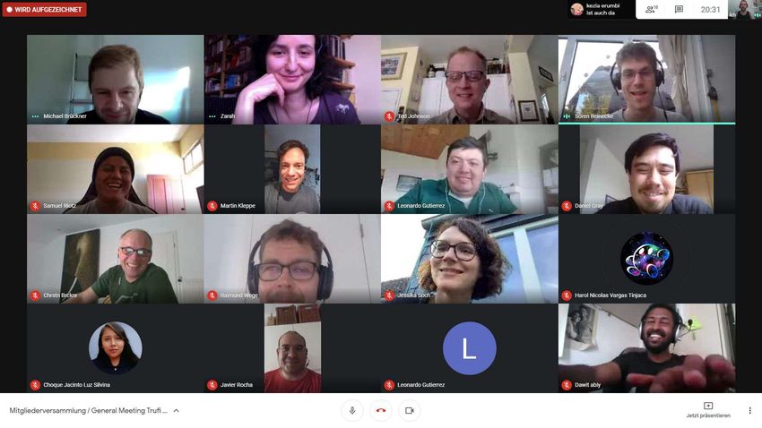
Global Team & Local Communities
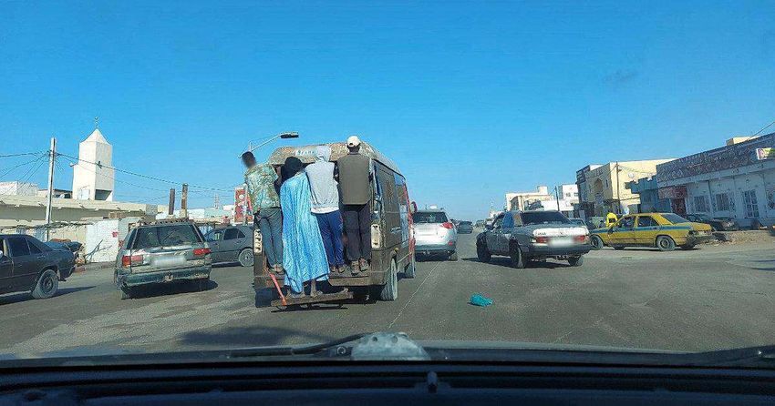
What is informal transport?
• Informal
   •   No official stops
   •   No schedule
   •   No documentation of bus lines
   •   No official transport network, but
       private agencies
• Semi-Formal
   • Mixture of formal and informal
     transit, like Metro in Addis Ababa
     plus minibuses or Gondolas in La
     Paz plus minibuses
• Typical in Middle and South
  America, Africa and Asia
                                            © https://fabioladevierna.blogspot.com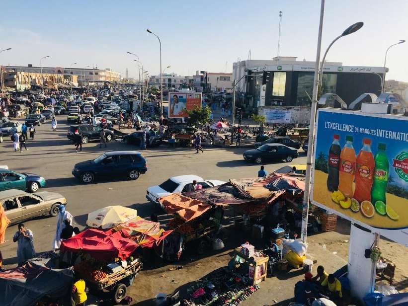
Expansion

                                                 Herrenberg

                   Managua             Tetouan
                                                                        Kathmandu
                             Duitama                           Addis
                                                               Ababa

                         La Paz                    Nairobi              Hyderabad
                                                                                    Manila
 Trufi App launched                      Accra
                       Cochabamba                     Dar es
 Pilots launched                                      Salaam
 In discussion                                                   Tana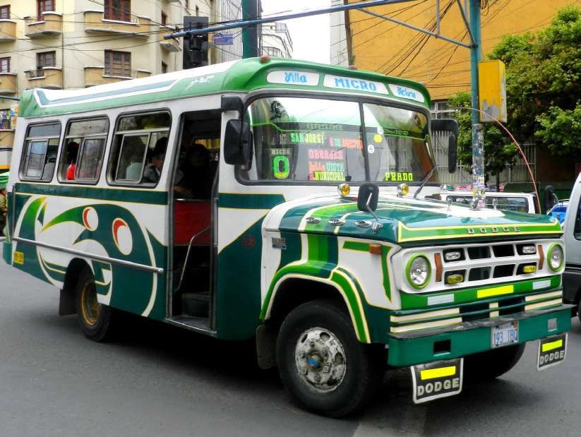
Our MaaS Products & Services

 Products                     Services
 • Trufi App                  • Customization of Trufi app for
                                cities, regions, countries
 • Driver App
                              • Training of local teams
 • Dashboard for Cities and
   Agencies                   • Collection of bus network and
                                creation of GTFS
 • Tools for transit data     • Maintenance of bus routes
Main Product: Trufi App
                           Open Source Multi-Modal Journey Planner for
                           Semi-Formal Public Transport in Big Cities
                              Trip planner with full door to   Built on Flutter with Open-
                              door navigation                  StreetMap and MapTiler

                              GPS location on granular         Available for Android 4.1 or
                              maps for easy navigation         higher and on iOS 8.0+

                              Multiple suggested routes,       Routes from OSM and
                              integration of transport modes   multiple transport providers
                              Search suggestions for street    Multilingual, including local
                              names, crossings and points      languages and indigenous
                              of interest                      languages, e.g. Quechua
                              Save preferred routes and        Released as Open Source
                              frequent searches                under an AGPL license
                              Location-specific in-service     Continuous development
                              advertising                      along the Digital Principles

                  Open
                  Street
                  Map
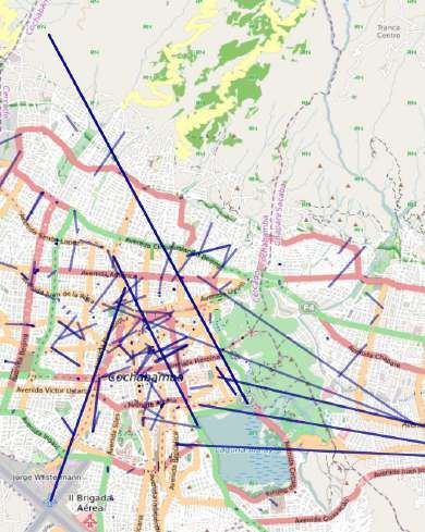
Our project in Nouakchott

                         Project Objective
                         • Support local government with
                           public transport consultancy
                         • Necessary steps:
                            • Collect bus routes
                            • Digitize / map to OSM
                            • Create GTFS
                            • Take Mapillary photos

Photo: Mouhamed Lemine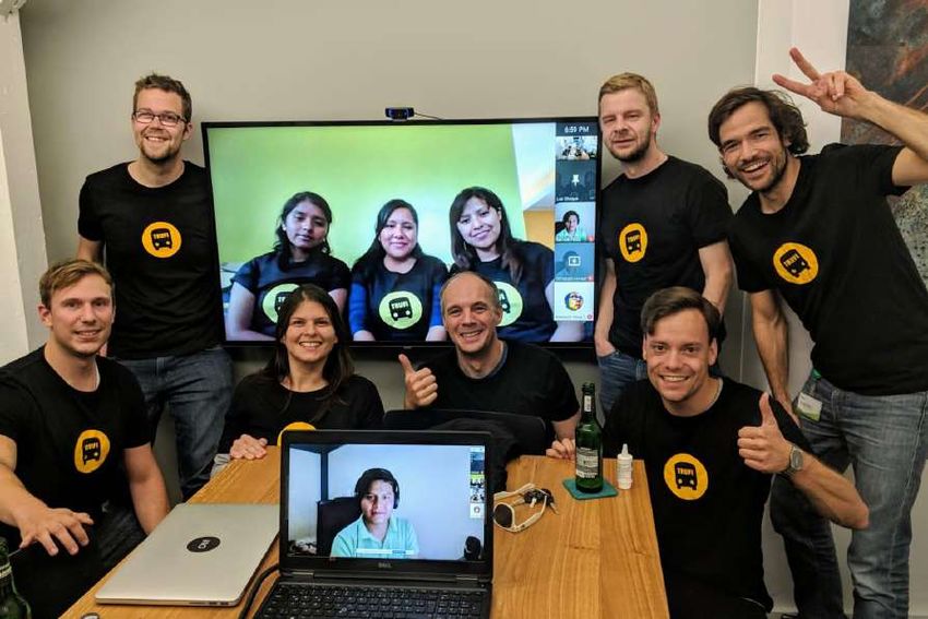
Our typical approach...

Community Building   OSM Mapping   App Release   Public Transport Planning

...was not possible due to pandemic.
So we decided to remote map…
International PM
[Zarah] & Background support [Sören]
Regional PM
[Jérémie]
GTFS and Mapillary
expertise [Leo]
Transport mapping
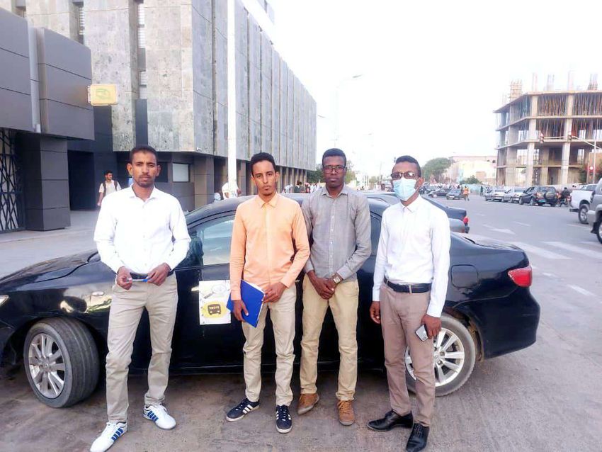
Data collectors
expertise [Luz]
[Vetah & team]Vetah Doing the data collection:
Luz
Uploading to OSM:
Leo
Creating the GTFS

    GTFS Analyser
Vetah Taking Mapillary photos
Jérémie
Organizing the project
Our partners in Nouakchott
Get in contact with us

                         Trufi Association & Team:
                         info@trufi-association.org

                         Project Team:
                         Zarah: Zarah.Ziadi@trufi-association.org
                         Jérémie: Jeremie.Perales@dabago.net
                         Leo: Leonardo.Gutierrez@trufi-association.org
                         Luz: Luz.Choque@trufi-association.org

                         Local Team:
                         Vetah: OSM User @vetah MOHAMED EL
                         MOCTAR
Summary
• Local collection & remote mapping
was working much better than
expected
• (+) No necessity to fly there
(saving CO2 and time)
• (-) Community is build better
when you see each other
• Remote mapping possible if local
team has basic technical
knowledge - and much more fun if
they have OSM skills
• We are ready to remote-map the
next city :-)Trufi Association & Team:
Welcome aboard! info@trufi-association.org
Project Team:
Zarah: Zarah.Ziadi@trufi-association.org
Christoph Hanser, President Jérémie: Jeremie.Perales@dabago.net
Leo: Leonardo.Gutierrez@trufi-association.org
christoph.hanser@trufi-association.org Luz: Luz.Choque@trufi-association.org
with the help of: Luz Choque, Leonardo Local Team:
Vetah: OSM User @vetah MOHAMED EL
Gutíerrez, Jérémie Perales, Vetah Mohamed el Moctar MOCTARYou can also read