The Impact of Green Space on Dublin Property Values - Esri
←
→
Page content transcription
If your browser does not render page correctly, please read the page content below
The Impact of Green Space on
                             Dublin Property Values
                                   Tom Gillespie, Ronan C. Lyons & Finn McLaughlin

                             “Value of the local environment for health and wellbeing”
                                        ESRI Conference, Dublin, January 2020

Acknowledgements: We would like to thank Ireland’s Environmental Protection Agency and the Irish Research Council for financial support and the following for
assistance and cooperation with data: daft.ie, the Central Statistics Office, the Office of Public Works, An Taisce, Ordinance Survey Ireland and the Sustainable Energy
Authority of Ireland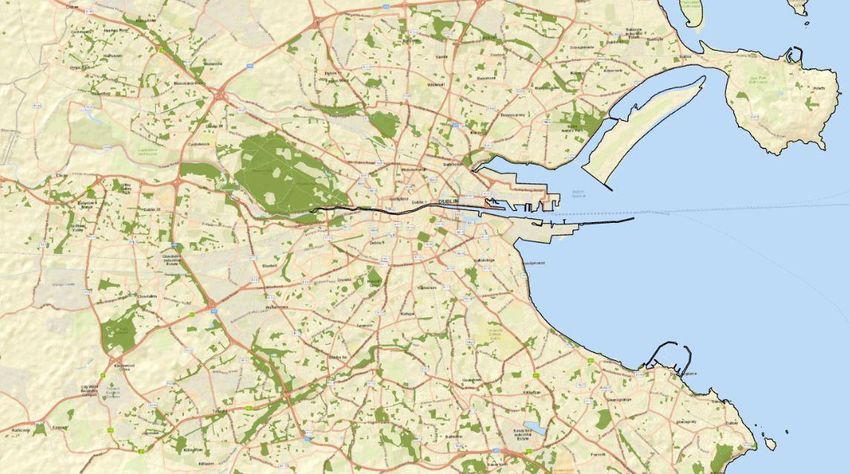
Some motivation…

                   2
A quick overview
• We use a combination of a bespoke housing dataset and granular spatial
data on green-space amenities
• We examine whether and how these green-space amenities – both ‘proper’
parks and more general open green spaces – affect property values nearby
• Results:
• We find a 10% increase in park space within 2km of a dwelling is associated with a
5.5% increase in that dwelling’s price
• Our results suggest Dublin’s parks have a value of €3.4bn capitalized into the nearby
housing stock – LPT of 0.018% would mean ~€6m in revenues to Dublin’s local
authorities from parks alone each year
• Future work previewed today:
• Exploiting the wealth of our dataset, we will perform a complementary analysis,
seeing which park attributes (e.g. water features) are most rewarded
3Motivation – theory and policy
• Our work investigates important aspects of consumer behaviour in the
real estate market, the largest fraction of household spending/assets
• What importance do households give non-market amenities, such as urban green
space, when deciding where to live?
• This work has a direct relevance for policymakers – especially in setting
such as Ireland’s with steady growth in the urban population expected
over coming generation
• Development: What should the green-grey ratio be? Which types of green space are
most valued by nearby residents?
• Government finances: What value do urban green space amenities create? With
annual property taxation, a potential direct link between non-market amenities and
their funding
4Dataset - Housing
• Almost 40,000 transactions in Dublin, between 2010 and 2018
• A bespoke dataset, building off four core elements:
1. Property Price Register – transaction price, date, and address
2. Building Energy Ratings – dwelling characteristics, including size (in
sqm), type, number of floors, year of construction, and energy rating
3. Daft.ie Archive – number of bedrooms and bathrooms; other
dwelling feature (e.g. from text of the ad)
4. Eircodes – used to locate all observations in each of the above
datasets, and perform a ‘join’
• We gratefully acknowledge the cooperation of the SEAI and daft.ie in
building this dataset
5Dataset – Urban green space
• The European Environment Variables Obs Mean
St.
Dev.
Min Max
Agency’s European Urban Atlas
Price (€000s) 39,643 357 216 30 2,000
(EUA) provides land-use maps for
all cities with >100,000 inhabitants % GS within 200m 39,643 6.8% 8.5% 0% 63.4%
• Higher resolution, and therefore more % GS between 200m
39,643 6.6% 2.7% 0% 14.4%
accurate, than the CORINE dataset, and 2km
used in Mayor, Lyons, Duffy & Tol % park within 200m 39,643 0.9% 5.1% 0% 87.0%
(2009, hereafter MLDT) % park between 200m
39,643 3.4% 7.1% 0% 54.9%
• We match the selection of the 22 and 2km
identified parks in MLDT % of park within 2km 39,643 3.4% 7.0% 0% 54.6%
• We also make other adjustments, e.g. % of park/GS within
39,643 7.7% 9.6% 0% 87.0%
200m
grouping neighbouring polygons to
% of park/GS within
reflect a single park 2km
39,643 10.0% 7.1% 0% 57.4%
6Our key measures of green space
7Method: “Hedonic price regression”
• We estimate a dwelling’s transaction price as a combination of…
• When it was on the market (Year/quarter)
• Its attributes (e.g. property type, size, age, energy efficiency)
• “Fixed effects” for different markets (more below…)
• Other location features (% unemployed/with degree, distance to centre/schools/etc)
• Distance to the Phoenix Park and % green space or parks within 0.2km/2km
• How to treat location ‘fixed effects’ (FEs)
• An important element of study of this kind
• Trade-off between granularity (in principle, every dwelling could have its own FE) –
and feasibility (we would need to see dwellings transacting on multiple occasions –
with parks/green space nearby varying over time)
• Three main options: 118 micro-markets (435 transactions typically), 322 Electoral
Divisions (145 transactions) or 4,557 Small Areas (11 transactions)
8The results of our analysis show a clear price effect of
parks within walking distance of a dwelling
FE: Micro-market FE: Electoral Division FE: Small Area
(1) (2) (3) (4) (5) (6) (7) (8) (9)
-0.0338*** -0.0334*** -0.0323*** -0.008 -0.008 -0.007 -0.00255 -0.00258 -0.00248What exactly do we find?
• Main result: a 10% increase in park space within 2km of a dwelling is
associated with a 5.5% increase in price
• Additional results:
• We do not find any evidence of ‘non-park’ green space boosting housing values
nearby – the results from a specification with a combined ‘parks + green space’
variable are being driven entirely by the parks
• There is some evidence of ‘congestion effects’: this 5.5% within 2km breaks down as
5.8% between 200m and 2km – but -0.9% within 200m
• No evidence of an additional effect of the Phoenix Park on property prices nearby,
compared to other parks – for the same amount of green space within 2km
• Our headline result is smaller than MLDT’s (6.7%) – this does not appear
to be driven by the control variables used
• Likely driven instead by (1) different market conditions, or (2) selection effects in
MLDT
10Three strands of future work
• Firstly, we aim to examine outcomes other than transaction price
• E.g. time-to-sell or the difference between initial list price and the transaction price
• Secondly, we will supplement the existing analysis
• How does the green space premium vary over time and with the housing market?
(Using both transactions back to 2010 and listings back to 2006)
• What is the link between rental prices and green space? (And what can we learn from
any differences with the sale price premium?)
• Lastly, we will examine whether particular green space attributes are
driving the premium
• The size and shape of the green space, its features (such as paths, woods, and water
features)
• The demographic mix nearby – e.g. income or education level, age/nationality mix…
11What does this say about Dublin’s parks?
• For the average property in Dublin, 3.4% of the space within 2km is green
space (as we measured in this study)
• With a coefficient of 0.55, and an average property value in Dublin of
€375,000, this implies that green space nearby contributes €7,000 to the
value of each property in Dublin
• There are 480,000 households in Dublin – this means that summing over
them all, nearly €3.4bn of the value (almost 2%) of Dublin’s residential real
estate comes from green space
• In a system with a 0.18% Local Property Tax, this means that Dublin’s local
authorities should be receiving ~€6m per year just due to green space
• Note: this total will not reflect the specifics of how LPT is implemented (self-declared
€50k bands, frozen at 2013 levels, with many exemptions)
12A preview of the work-in-progress…
• A two-stage analysis
• Stage (1): give each park/green space its own ID and then ask, in the
analysis, how much each of these IDs affects prices nearby
• E.g. if there are 1,200 green spaces in Dublin (of varying types and sizes), this first
stage would generated 1,200 ‘results’, the ‘price premium’ for each
• This depends on having ‘enough’ transactions nearby
• Stage (2): take the ‘price’ for each green space and run an analysis trying to
explain that price using its own attributes and the characteristics of the
area nearby
• So far, we have found some evidence that (1) woodlands and (2) proximity to the
coast boost the value of green space
• Also, we have found evidence that higher incomes are associated with bigger park
premiums
13Wrapping up and next steps…
• As it stands:
• Clear evidence that housing costs reflect ‘green space’ amenities – as measured by
how much green space is within walking distance of your home
• A 10% increase in park space within 2km is associated with a 5.5% increase in price
• The implied aggregate value of green space - €3.4bn, or €6m in LPT revenues – is
important in context of current push for ‘value capture’ by local/national govs
• It is important also as Ireland is likely to face very strong housing demand, especially
in its cities, over coming decades
• Next steps (once we find the resources!):
1. Other housing market outcomes (time to sell, etc.)
2. Examining how the premium varies across time, segment and market conditions
3. Which green-space features are most rewarded by nearby residents?
Thank you!
14You can also read