What is an SNA? - Te Tai o Poutini Plan
←
→
Page content transcription
If your browser does not render page correctly, please read the page content below
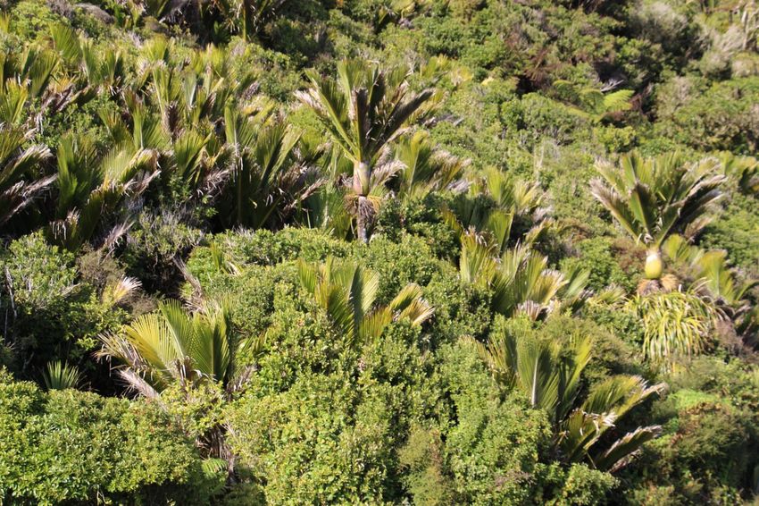
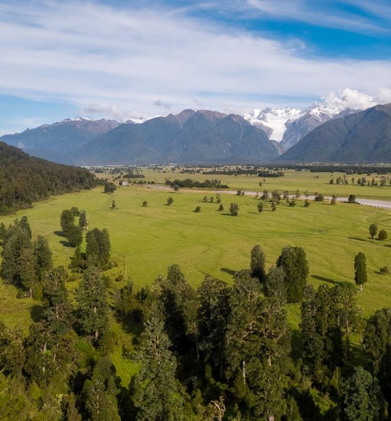
INFORMATION SHEET

What is an SNA?
A Significant Natural Area (SNA) is an area that has significant native vegetation or
habitat for native wildlife. An SNA may include native bush or native forests, wetlands,
river flats, lakes and rivers, or coastal vegetation. SNAs may also have other values such
as a landscape area of particular scenic interest.

Under the Resource Management Act 1991, Councils are legally required to identify and
provide for the protection of areas of SNAs. As part of the review of the three District
Plans on the West Coast, SNAs will need to be identified for their protection in the new
combined District Plan – Te Tai o Poutini Plan.

Why do we need to protect areas when there is so much Conservation land on the
West Coast?
Most rare and threatened plant species and habitats occur on the lowlands of the region
where the majority of development has taken place over time. This tends to be private
land. Therefore, some important habitats of species are not in the protected areas
network of the Conservation Estate.
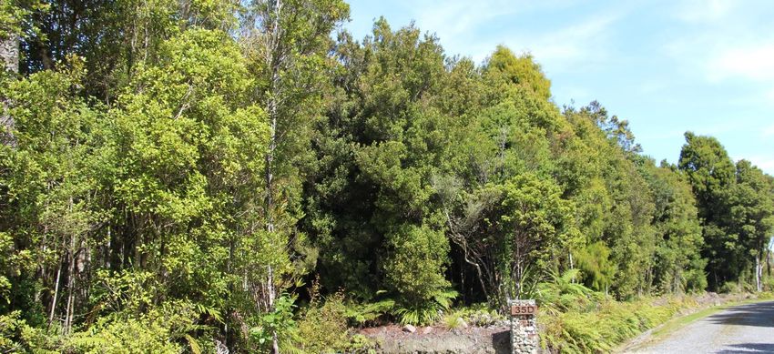
How will significant natural areas be identified?
A desktop assessment, using existing known information on vegetation and habitats, is
the first step in identification. The assessment will use the criteria from the West Coast
Regional Policy Statement (agreed through Environment Court mediation in July 2020).
This will help us determine which areas may require further assessment to see if they
meet the criteria for special identification in Te Tai o Poutini Plan. The desktop
assessment is expected to be completed by the end of June 2021. Landowners of areas
identified for further assessment will be asked if an ecologist can undertake some form
of onsite field assessment.

Why are we assessing landowner’s properties?
The desktop assessment is based on existing ecological information and GIS analysis.
From previous experience, we know that this is not always accurate. The best way to
ensure that the identification of an SNA is correct is through an onsite assessment by
an ecologist. This ensures that areas that do not meet the criteria are not included in
the Plan.

What happens on a site visit?
A site visit will only be undertaken where a landowner agrees to one. The site visit will
enable the ecologist to check if the area meets the criteria of an SNA as set out in the
Regional Policy Statement. The site visit will also provide an opportunity to talk with
Council staff about how protection of SNAs in Te Tai o Poutini Plan is to be provided for.

Depending on the location and nature of the SNA/s, site visits will likely require landowner
or land manager representation. This is to provide Council staff with access and site
knowledge. Landowners know their land best and we would be grateful for any assistance
that you can give us.

How will I know if I have a potential SNA?
If your property is identified as having a potential SNA you will be sent a letter and a map
showing the boundary of the potential area. You can then choose if you want to progress
with a field assessment.

What if I say no to a site visit?
If you say no to a site visit, then the area identified in the desktop study will be included
for protection in Te Tai o Poutini Plan. Council will not enter private land without
permission.
I already have an SNA in the Grey District – what does this mean for me?
The criteria used by the Grey District Council is now outdated and has been replaced by
that in the West Coast Regional Policy Statement. We have to check that these previous
assessments are correct. We expect that most, if not all, previously identified SNAs in the
Grey District will still qualify as SNAs through this process. We will confirm this in writing
with you when we contact all affected landowners.

I’ve already had my site field checked and it wasn’t an SNA – what does this mean
for me?
We will use the information gathered from any previous onsite assessment to ensure that
SNAs incorrectly identified in the desktop work are not included.

What are the criteria for Significant
Natural Areas?
Indigenous vegetation or habitat(s) of
indigenous fauna is significant if it
meets any one or more of the
following four criteria.
1. Representativeness – have
    characteristic examples of the
    original ecosystem that are no
    longer commonplace;
2. Rarity/distinctiveness – have
    biological or physical features that
    are scarce or threatened or
    unusual;
3. Diversity and pattern – have a
    natural diversity of ecology,
    species and physical features;
4. Ecological context – enhances
    connectivity between ecosystems
    or provides habitat for rare
    indigenous species.

What rules will be associated with SNA’s?
Rules to protect SNA’s will be drafted for the Plan by Te Tai o Poutini Plan Committee.
Any person will be able to submit on these and provide feedback on what they think.

Rules are likely to require resource consent for vegetation clearance or earthworks within
an SNA.

Options are being considered to provide some support for landowners wanting to legally
protect their SNA (e.g. by QEII National Trust Covenant) by allowing “bonus lots” for
subdivision if this occurs.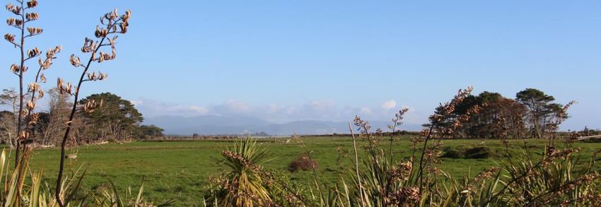
What is the timeframe?
The desktop process will be completed by mid-2021. Onsite assessments will be
undertaken over the remainder of 2021. Amendments to the boundaries of the identified
SNAs will be made following the onsite assessment.

We are anticipating notifying the proposed Te Tai o Poutini Plan in 2022. Anyone,
including landowners, are able to make submissions on any part of the Plan, or the
documentation that informs the Plan.

Can I clear my bush now?
Currently, each of the District Plans contain rules to protect native vegetation and
habitats. Clearance of any native vegetation larger than a certain area (0.5ha in Buller
and 2,000m² in Westland), requires a resource consent. In the case of the Grey District,
there are already identified SNA’s, and any native vegetation clearance within these
areas requires a resource consent.

Across the West Coast, you need a resource consent to undertake work, including native
vegetation clearance, within 10m of a river greater than 3m wide, or a wetland. The
Regional Land and Water Plan identifies significant wetlands providing protection for
these areas.

Why are the Councils reviewing their District Plans?
There is a legal requirement to review our District Plans at least every 10 years. The
current District Plans are much older than that. In 2018 the Local Government
Commission recommended transferring the statutory obligations for preparing district
plans from the three West Coast District Councils to the West Coast Regional Council.
This means that, rather than each of the three District Councils preparing individual plans,
Te Tai o Poutini Plan Committee is now responsible for preparing and approving a new
combined District Plan for the whole region.

You can also read