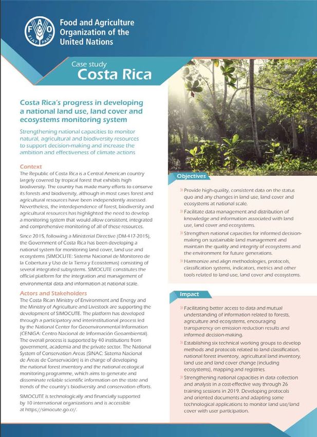
"Earth Observations for Sustainable Development Goals in the Americas Region - 'Zoom' in on Costa Rica's experience" - Rafael Monge / ...
←
→
Page content transcription
If your browser does not render page correctly, please read the page content below
“Earth Observations for Sustainable
Development Goals in the Americas
 Region – ‘Zoom’ in on Costa Rica’s
            experience”

                 Rafael Monge / @rafaelmongecr
                 National Center of Geoenvironmental Information
March 27, 2019. Highl level coordination meeting and launch of the
website of www.simocute.go.cr.
3
4
5
6
7
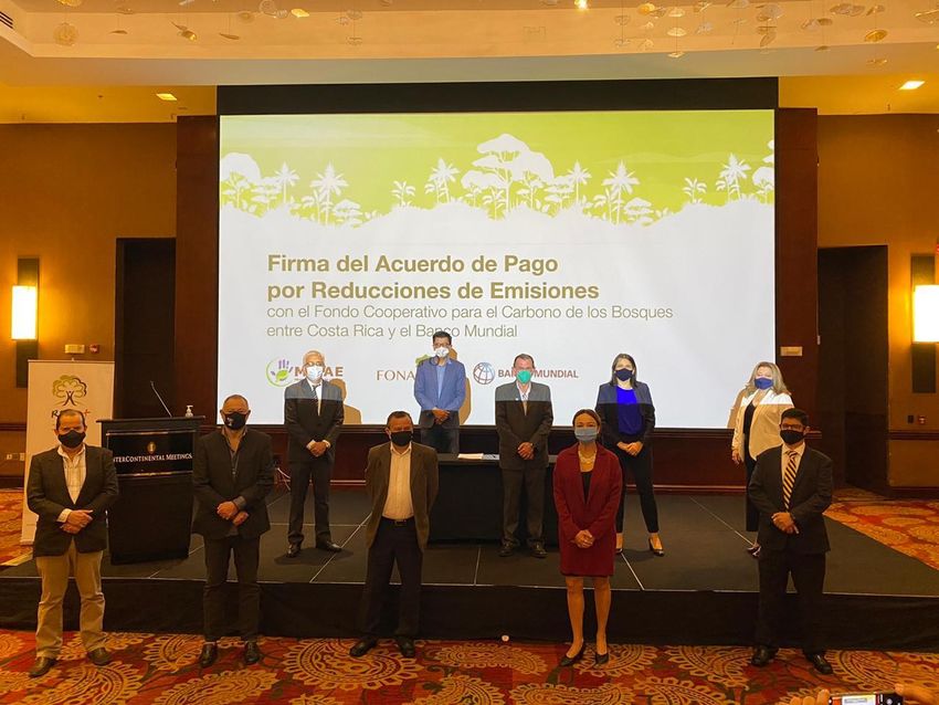
Dec. 11th, 2020. Costa Rica and the World
Bank’s Forest Carbon Partnership
Facility (FCPF) sign US$60 million
agreement to boost emission reductions
through forest conservation
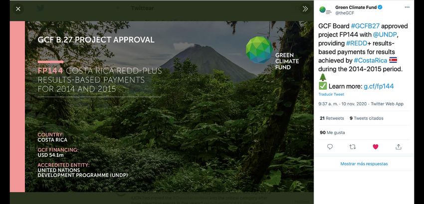
Nov. 10th, 2020. Announcement of the GCF project
approval for Costa Rica REDD + Results Based Payments
8
for 2014 and 2015.
Pineapple: 65670,48 ha, 2019

Oil Palm: 73139, 34 ha, 2019

Pastures 1.015.155,26 ha, 2018

2017                             2018
A Global Modeling Tool for
Nature’s Contributions to
People in Sustainable
Development

Mapping Essential
Biodiversity Variables

Modeling Ecosystem
services
Tackling deforestation in Costa Rica
using Google Earth Engine
Nov. 24th, 2020.
Experience
exchange between
Costa Rica Peru
and Colombia on
the development
of early warning
systems to detect
deforestation.

                    12
March 22nd, 2021. Experience exchange between Costa Rica and Ecuador on the detection and mitigation of forest degradation.
THE BIG ENCHILADA | LA GRAN ENCHILADA
            Mapping Nature for People and Planet
    El mapeo de la naturaleza para las personas y el planeta
Mapping Nature for People and Planet
Earth Observations Toolkit for Sustainable
        Cities and Communities
INDICADOR GLOBAL ODS 11.3.1
[GLOBAL SDG 11.3.1 INDICATOR]
WRI ha desarrollado cálculos para derivar una medición del
Indicador 11.3.1 de los ODS para cualquier parte del mundo,
utilizando dos conjuntos de datos anuales globales relativamente
nuevos:
• WorldPop - Global Project Population Data: Estimated Residential Population per 100x100m Grid Square
• Tsinghua University - FROM-GLC year of change to impervious surface
[WRI has developed calculations to derive a measurement of SDG
Indicator 11.3.1 for anywhere in the world, using two relatively new global,
annual datasets.]
https://developers.google.com/earth-engine/datasets/catalog/WorldPop_GP_100m_pop
https://developers.google.com/earth-engine/datasets/catalog/Tsinghua_FROM-GLC_GAIA_v10CÁLCULO DEL INDICADOR
[INDICATOR CALCULATION]
The ratio of land consumption rate (LCRPGR) to
population growth rate is calculated using the
formula:
Population Growth Rate (PGR) = LN(Popt+n/Popt)
Land Consumption Rate (LCR) = Vpresent - Vpast 1
(y)
Vpast * T
Where: LN is the natural logarithm value
Popt is total population within urban
Where: Vpresent is total built up area in current year area/city in the past/initial year
Vpast is total built up area in past Popt+n is total population within urban
year area/city in the current/final year
T is the # of years between y is the number of years between two
V_present & V_past measurement periods
(or length in years of the period
considered)
WRI application of UN recommended calculation methods for SDG 11.3.1 (Feb 2021 update) per
https://unstats.un.org/sdgs/metadata/files/Metadata -11-03-01.pdfDISTRIBUCIÓN URBANA
[URBAN DISTRIBUTION]
Valores Atípicos
Cantón Upala
- La tasa más alta de desarrollo de
la tierra
- La relación más alta entre el
consumo de tierra y el
crecimiento de la población (37:1) Outliers
Cantón Garabito - Cantón Upala
- Highest land consumption rate
- Tasa de crecimiento poblacional más - Highest ratio of land consumption to population growth
alta (37:1)
- Cantón Garabito
- Highest population growth rateVISUALIZACIÓN DE MAPAS [MAP VISUALIZATION & SCRIPTED ANALYSIS] https://code.earthengine.google.com/53745fb2aa300a69345b7f4e2b6f641d
“Earth Observations for Sustainable
Development Goals in the Americas
 Region – ‘Zoom’ in on Costa Rica’s
            experience”

                 Rafael Monge / @rafaelmongecr
                 National Center of Geoenvironmental Information
You can also read


