HIGH POINT REGIONAL BIKE PLAN STEERING COMMITTEE MEETING #3 NOTES
←
→
Page content transcription
If your browser does not render page correctly, please read the page content below
HIGH POINT REGIONAL BIKE PLAN
           STEERING COMMITTEE MEETING #3 NOTES

                           OCTOBER 24, 2018, 2:00-4:00 PM
  HIGH POINT PARKS AND RECREATION ADMINISTRATIVE BUILDING
                 136 NORTHPOINT AVENUE, HIGH POINT, NC 27262

Purpose: This was the third of four steering committee meetings for the High Point Regional
Bicycle Plan. The purpose of this meeting was to reveal and review the draft bicycle network,
discuss potential priority projects, summarize public involvement to-date, and discuss the
programs assessment and draft recommendations for the region. Staff from Alta Planning +
Design (project consultants), the Piedmont Triad Regional Council, and Wallace Consulting
presented and facilitated discussion.

In Attendance:

Michael Brandt          Assistant City Manager, City of Thomasville
Steve Bzomowski         Senior Planner, Alta Planning + Design
Guy Cornman             Director, Davidson County Planning & Zoning
Jesse Day               Regional Planning Director, Piedmont Triad Regional Council
Andrew Edmonds          Transportation Planner, HPMPO
Gwen Ford               GIS Analyst, HPMPO
Bryan Fulbright         City Engineer, City of Thomasville
Heidi Galanti           Planning Services Administrator, City of High Point
Chuck George            Director of Planning and Inspections, City of Thomasville
John Hanes              Transportation Planner, HPMPO
Matt Hayes              Principal-in-Charge, Alta Planning + Design
Cary Kanoy              Roadies and Dirties of Davidson County; GeoCore Films
Tracy Pegram            Assistant Parks & Recreation Director, City of High Point
Chris Phelps            Director, Tourism-Recreation Investment Partnership for Davidson Co.
Jason Reyes             Project Manager, Alta Planning + Design
Greg Venable            Transportation Planning Administrator, HPMPO
Judi Wallace            President, Wallace Consulting
Duncan Walser           Planning Technician, Archdale
The meeting began with a round of introductions followed by a presentation covering the
following main topics:

   1.   Overall project update and schedule
   2.   Public involvement update
   3.   Programs update
   4.   BFC application
   5.   Draft bike network and priority projects discussion
   6.   Committee mapping exercise: opportunities and challenges for potential priority
        projects

The PPT slides with more detail are attached at the end of this summary for reference.

Group discussion included the following:

Public Outreach

   •    Over 300 open ended public comments from the survey were printed and reviewed by
        the committee. Many comments emphasized the need for physical separation between
        cars and bikes with dedicated bike lanes and greenways.
   •    Boo Bash at High Point City Lake – Jesse Day gave public outreach materials to Tracy
        Pegram to distribute at the event
   •    Lexington Bike Shop, recently opened in Lexington, opportunity for outreach
   •    Tour de Pig took place in October, included bike ride (bike and barbecue event)
   •    Grand opening for Finch Park mountain bike trail also recently took place in Lexington –
        new park also includes three miles of mountain bike trail

Programming

   •    Keep project website for this project going after the planning process is complete
   •    City of Winston-Salem enforcement and education examples:
            o Videos for motorist and cyclist education –
                 http://www.cityofws.org/departments/transportation/biking/education-
                 encouragement-and-enforcement
            o Downtown bike patrol
            o Open Streets events since 2009
   •    City of Greensboro example:
            o Bicycle Program including numerous education materials –
                 https://www.greensboro-nc.gov/departments/transportation/gdot-
                 divisions/planning/bicycle-and-pedestrian/bicycle-program/gso-shares-the-road
   •    Micro-mobility – link to webinar led by Alta Planning + Design on October 25, 2018 –
        https://altaplanning.com/resources/rise-micro-mobility-copy/
            o How to address scooters? Raleigh is seeing lots of scooters in bike lanes
            o State bike/ped committee is going to discuss scooters
   •    Roadies and Dirties currently working to create a local bike share in Lexington
            o Build-a-bike program as well
   •    Enforcement – beyond policing, include enforcing bicycle network maintenance such as
        sweeping bike lanes, clearing debris, etc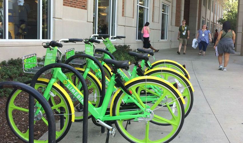
• See Click Fix – tool for communicating maintenance issues and needs between residents
and local government – https://en.seeclickfix.com/
• BFC information – consider including general information for all communities or even
applying as an MPO - https://www.bikeleague.org/bfa
o Davidson Community College or any local businesses could also apply
o Elements of a Bicycle Friendly Community described here on the League of
American Bicyclists’ website –
http://bikeleague.org/sites/default/files/BFC%20infographic.pdf
Draft Bike Network and Priority Projects Discussion and Notes from Mapping Exercise:
• Davidson County: Yadkin River to Business Park Greenway
o Davidson County Parks & Recreation is currently working on a potential sidepath
project from the Yadkin River Park north along the north side of US 29/Hilltop
Road/Old Salisbury Road
o Potential trailhead in the space between US 29, the railroad tracks, and I-85
o Cross Winds Family Campground along Sowers Road
o Planned trailhead at the I-85 Business Park near Belmont Rd Extension
o Crossing under highway along railroad ROW very feasible, coordination already
taking place with NCRR
• Thomasville Rail Trail
o Brownfield Assessment Funds for parks site along potential Thomasville Rail
Trail
o Re-aligned Fisher Ferry Street to include 10’ sidepath along the west side – this
connects to the park project and can serve as a link to Colonial Drive and
neighborhood street connectivity to the east
o Key connection – Thomasville Cultural Recreation Center
• Thomasville Downtown, Memorial Park, High School
o Consider altering route to Colonial Drive, Fisher Ferry Street, Main Street to
Memorial Park Drive
• Archdale Loop Trail East
o Pedestrian crossing across I-85 is constrained, current bridge is likely too narrow
to accommodate bike/ped facilities
o Pocket Park at end of Jacob Ct
• High Point Southwest Greenway
o Greenway extension likely extending north between Taylor Ave and Grimes Ave
o Small Area Plan to start soon in the area along the northern segment to
downtown
Smart Growth America Technical Assistance
• High Point Elm Street
o Add separate sheet for Montlieu Ave
o Hotel and retail at the ballpark at Church Ave and Elm
o Sidewalks might be constructed very wide (22’), may constrain potential bike
facilities
o 11’ travel lanes expected, parking on both sides
o High quality visual rendering needed for this project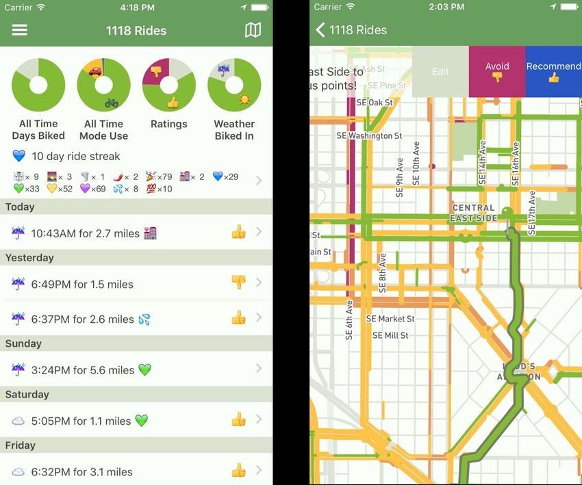
•   High Point/Archdale Surrett Drive Complete Street
           o Existing rail along eastern portion of Surrett Drive may limit ROW acquisition
           o Current bridge over Business I-85 has limited space
   •   High Point Centennial Street Bike Lanes
           o Fix Eastchester Dr Label
           o Eastchester Dr intersection to the north is complicated (same with University
               Pkwy to a lesser degree)
           o Consider adding/showing proposed greenway link through Oakwood Cemetery
               connecting to the neighborhood grid and downtown
           o Potential roundabout being considered at the Montlieu Ave/Centennial St
               intersection
           o About 50’ cross-section for Centennial Street – need photo rendering and cross
               section with buffered bike lanes
           o Scheduled for resurfacing in 2019
   •   High Point Railroad Esplanade
           o Path would be constructed along north side, reinforced wall
           o Roughly $12 million total cost
   •   Regional Map
           o Consider adding I-85 business bikeway utilizing the very wide ROW along the
               corridor – currently example under development along I-40 between Raleigh
               and Durham

Next Steps

   •   Public outreach and stakeholder coordination continued
   •   Alta to complete draft document development end of November and begin review
       period
   •   Schedule January/February presentation dates
   •   Develop brochure maps
   •   Schedule final committee meeting (early 2019)
Committee
Meeting #3

Overview
• Introductions
• Project Update
• Public Involvement Update
• Programs Update
• BFC Application
• Draft Bike Network and Priority
  Projects Discussion
• Next Steps
Introductions
Project Scope & Schedule
SCOPE & SCHEDULE

Public Involvement
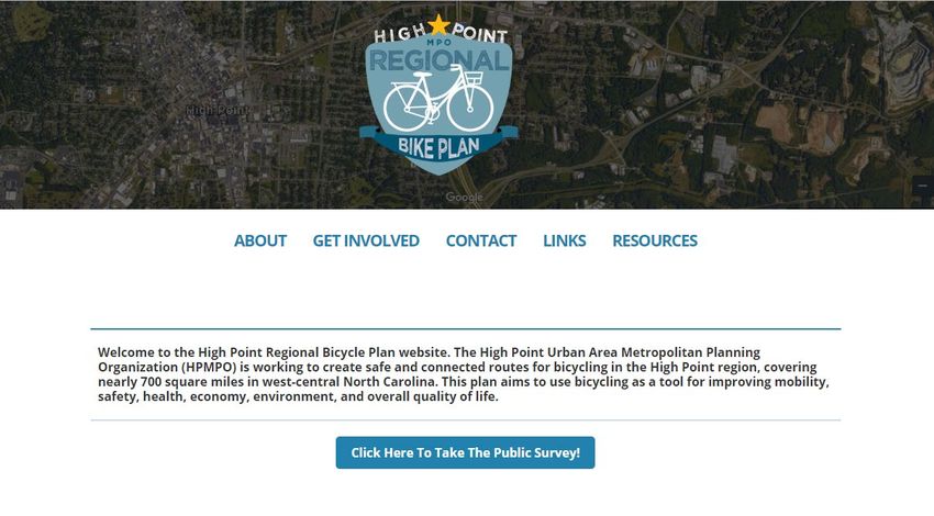
Website & Comment Forms
highpointregionalbikeplan.com/
Promotional Materials
Outreach
Events
Online Outreach
What have you
done to promote
the plan so far?

What will you
commit to doing?

Survey will close in
November!!!! 446
responses thus far
Programs
(Topics for Discussion)
Education
• Cyclists of all ages
• Motorists
• Regional website
  to provide
  information
Encouragement
• Open street events
• Special bicycle
  events when new
  facilities open
• Bike Month & Bike
  Week activities
• Bike Share
  programs
• Bicycle Friendly
  Community
  designation
Enforcement (Police and local government)
• Keeping bike
  facilities clear
• Ensuring all
  roadway users
  operate safely
• Ensuring that
  cyclists riding
  at night have
  proper lighting
Evaluation
• Formal survey
  of cyclists done
  every few years
• Ride Report
  phone app
BFC Application
NC List
•   Asheville
•   Boone
•   Carrboro (Silver)
•   Cary
•   Chapel Hill
•   Charlotte
•   Davidson
•   Durham
•   Greensboro
•   Raleigh
•   Wake Forest
•   Wilmington
•   Winston-Salem
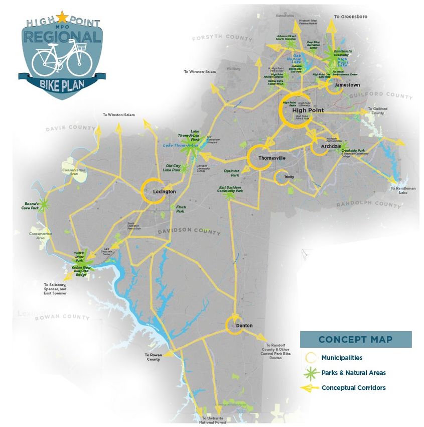
Draft Bicycle Network and
     Priority Projects
Existing Bike Lanes & Greenways
In
Development
Potential
Priority
Projects
Mid/Long-
Term Vision
State and
Regional
• Connects the Yadkin
  River Park and
  bike/ped bridge to the
  developing I-85
  business park

• Major regional
  destination with
  future connectivity to
  Spencer and Salisbury
  and eventually to
  Lexington
• Montlieu Ave to
  Commerce St

• Potential Two-way
  Cycle Track

• Construct with street
  improvements related
  to ballpark and
  surrounding corridor
  investments
• Commerce Ave to
  Surrett Drive (and
  other connection
  points)

• Connects Elm Street
  bicycle facility to
  Surrett Drive and
  multiple other points
  in southwest High
  Point
• Eden Terrace to Market
  Center Drive

• Widen to multi-lanes
   • Include
     separated/buffered bike
     lanes

• Connects Southwest
  Greenway to Archdale
  greenway system
• Rockford Drive to East
Fairfield Drive and I-
74
• Widen to multi-lane
divided facility with
sidewalks on both
sides
• Include
separated/buffered
bike lanes
• Part of Archdale
Pedestrian Plan
priority project and
loop• Lindsay Street (connecting to Elm Street and Centennial Ave) • Construct greenway east/west along railroad corridor through downtown • Connects to Elm Street and Centennial Ave projects with further connectivity options to the east and west
• South of MLK Jr Dr to
  South of N. University
  Pkwy

• Separated Bike
  Lanes/Buffered Bike
  Lanes

• Road diet (4-3)
  conversion with
  upcoming resurfacing
  project
• Main Street High Point
  to Bicentennial
  Greenway

• Widen existing
  roadway
   • Include
     separated/buffered
     bike lanes

• NC 10G State Bike
  Route, connects north
  High Point to
  Jamestown and High
  Point Lake
• I-74/US 311 to Johnson Street • Widen to multi-lanes • Construct sidepath to connect to future Johnson Rd/Sandy Ridge sidepath and future West Loop Greenway • Extends Johnson Rd/Sandy Ridge sidepath
• Baptist Children’s
  Homes of NC Property
  to Turner Street

• Construct greenway
  utilizing mostly the
  old railroad corridor
  along the south side
  of Thomasville

• Eventually forms loop
  with downtown
  connectivity with
  implementation of on-
  road bicycle facilities
  from the Thomasville
  Bicycle Plan
• From south Thomasville
  and future rail trail
  project to Thomasville
  Middle School and High
  School

• Shared lanes and Bike
  lanes through
  downtown Thomasville,
  Memorial Park, and
  Memorial Park Dr

• Eventually forms loop
  with the Thomasville
  Rail Trail and
  implementation of
  other on-road bicycle
  facilities recommended
  in the Thomasville
  Bicycle Plan
• From the southern
  terminus of the future
  Winston Rd bike lanes at
  the I-85 bridge through
  downtown Lexington to 9th
  Avenue

• Narrow the 6th St and 5th
  Street lanes to incorporate
  buffered bike lanes
  between State Street and
  the NC 8 bridge. Shared
  lane markings along State
  Street and road diet along
  Main Street

• Enhances downtown
  circulation with
  connectivity to NC 8 future
  bike lanes and a step
  toward eventually
  connecting to the I-85
  business park and the
  Yadkin Bridge
Other Potential Priorities?
Bike Network Mapping
      Exercise
Next Steps
Thank You!
                 Matt Hayes, AICP, Principal
                 984-329-5006 | matthayes@altaplanning.com

THANK YOU!       Jason Reyes, AICP, Senior Planning Associate
                 984-329-5044 | jasonreyes@altaplanning.com

                 Stephen Bzomowski, AICP, Senior Planner
                 984-201-2902 | stephenbzomowski@altaplanning.com
You can also read