Informational Presentation

From the Lake Mansfield Improvement Task Force

                April 17, 2019
←
→
Page content transcription
If your browser does not render page correctly, please read the page content below
Informational Presentation
From the Lake Mansfield Improvement Task Force
April 17, 2019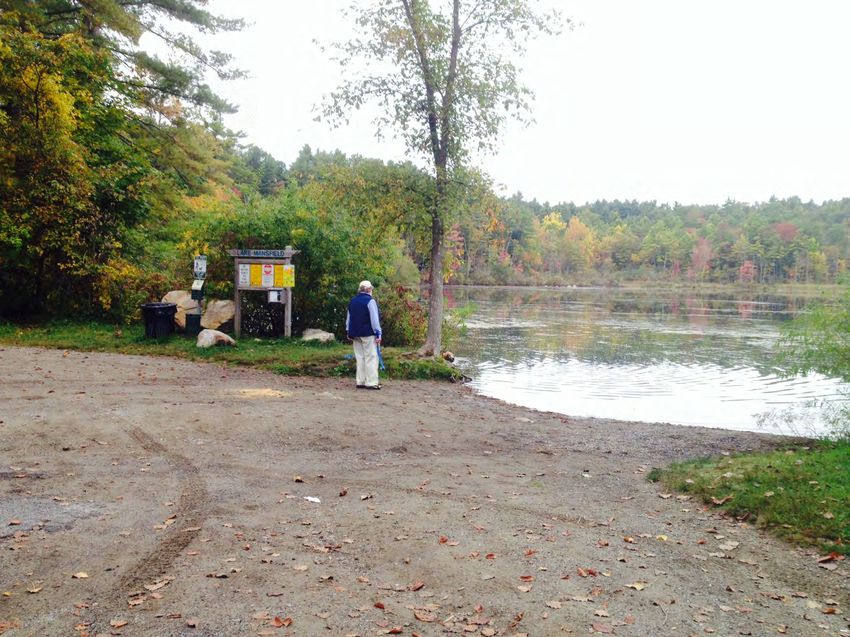
•       Brief review, how we got to now
        •   Including the 2015-2016 comprehensive plan for the area

•       “Walking Tour” of Lake Mansfield Road
    •       Conditions and Constraints (how much space is there?)
    •       Summary of road engineering work so far

•       Road design possibilities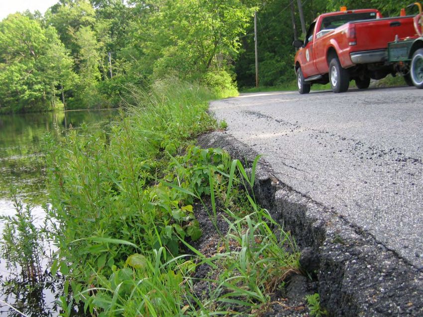
Results of Third Survey
Question 1: Prioritize the five goals for Lake Mansfield
#1 priority:     Improve and enhance water quality for humans and wildlife
                 Improve lake health and restore shoreline habitat for plants and
                 animals
#2 priority:     Ensure the safety for recreational users (cyclists, walkers, people
                 fishing, animals, etc.)
#3 priority:     Improve pedestrian access and accessibility
#4 priority:     Maintain two-way vehicular access

Question 2: Based on studies to date, best traffic flow on Lake
Mansfield Road?
•   Narrowed, Two-Way Road (Multi-use for pedestrians, bikes, + vehicles) 45.7%
•   One-Way Road (Boat Launch to Beach) & Shoreline Recreation Trail      23.2%
•   Closed Road/Shoreline Recreation Trail.                               31.1%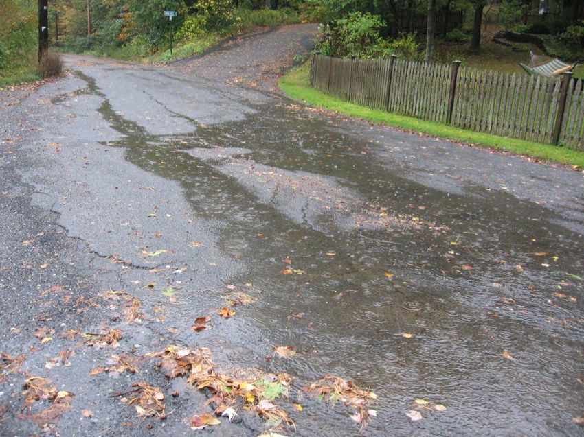
•       Any improvements must:
    •       Ensure a healthy environment
    •       Provide for public safety and access
    •       Enable recreational enjoyment
•   And
    •       Increase lakeside buffer
    •       Stabilize the lake bank
    •       Provide for under-road drainage
•       Improvements must also acknowledge these constraints:
        • Limited right of way and private property
        • Complex and costly environmental permitting
        • Engineering challenges including high water table, bedrock, and ledge outcrops
        • Costs, especially in light of town’s overall capital project needs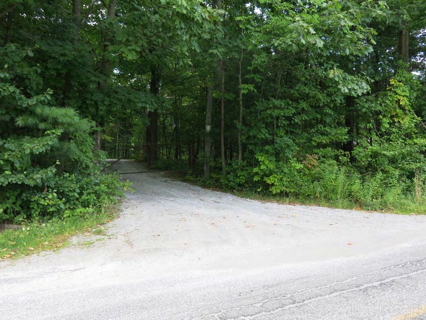
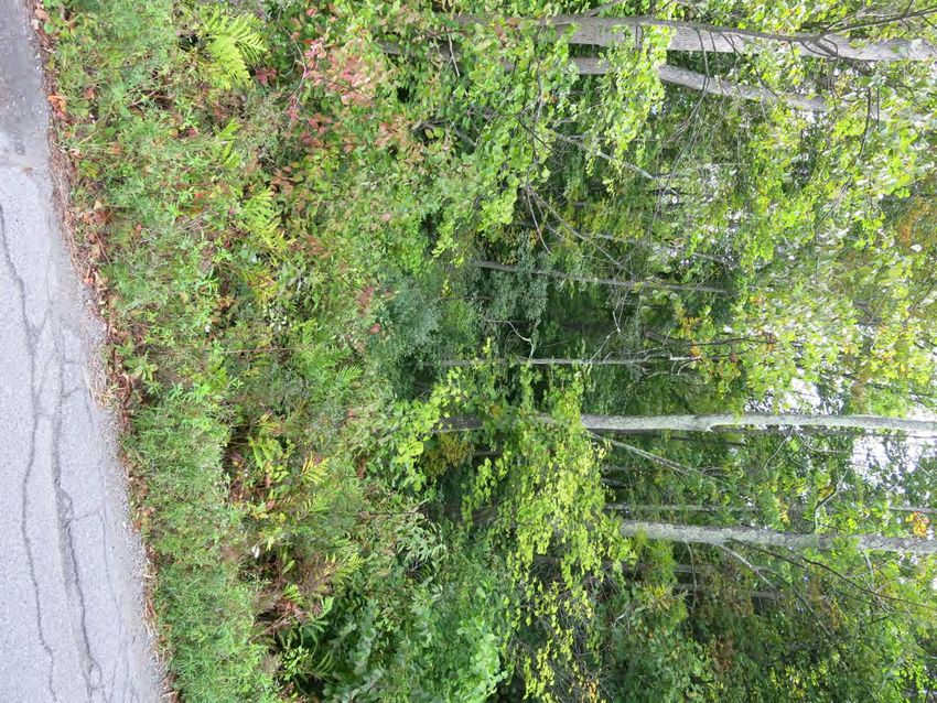

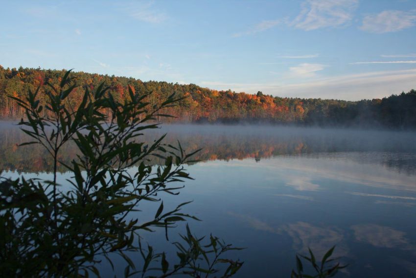
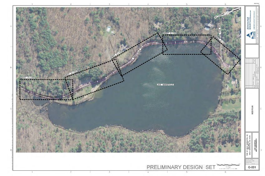
Lake Mansfield Road is used year round for
recreation, access to the lake, and travel
around the lake.

The road travels to and through the Lake
Mansfield Recreation Area.

Beside vehicular traffic, the roadway is
frequently used by walkers, joggers, cyclists,
and people fishing from the roadway. It is a
shared space.

Since 2005, there have been three traffic
studies conducted along Lake Mansfield Road.
All the results are fairly consistent.

The volume of traffic on Lake Mansfield Rd is
very low, approx. 550 – 575 vehicles per day
This area of concern is being addressed!
This area of concern has been addressed!
•   The Selectboard endorsed the Comprehensive Lake Mansfield Area
    plan in 2016, but requested more work be done to see if a 2-way
    road was possible

•   Engineering, including subsurface investigation, property surveys,
    and wetland delineation work was completed last summer

•   After 15 years of intensive work, study, design, and discussion, the
    road continues to deteriorate. We are now at a “decision point.”
• Status quo is not an option
• Existing road surface could be repaved but…
• Smooth surface allows higher vehicular speed and decreases
recreational safety
• Cost estimated by DPW to be approximately $60,000 every 5 years
(may not last that long, due to the freeze/thaw conditions)
• Does not address areas of concern except road surface in short term
• Would exacerbate resource area damage, bank erosion, and further
harm water quality
• Does not help accomplish long range capital planning• A travelled way of some type is desired.
• Complete road closure to vehicle traffic has been discussed but generally not favored
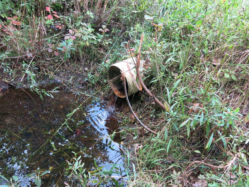
• The road base is like a sponge; it moves with freeze and thaw cycles
• The road base is saturated and is not stable. If it is not corrected then asphalt will
continue to break off and pollute the lake.
• Periodic repaving is not cheap, not healthy for the lake, and does not increase safety
• Drainage and subbase structure could be remedied by new “rock sandwich” designs
• The lake level cannot be lowered easily or cheaply
• There is not much space for a road, certainly not a standard road
• 30-foot right of way, and in some cases it is practically less due to wetlands, ledge,
and property ownership
• Stabilizing the edge and providing buffer area will reduce the width more
• There is only about 18 feet to work with, and in some places there is
only about 14 or 15 feet.
• Preliminary cost estimates are at least $1 million• The Lake Mansfield Improvement Task Force believes we now
have enough information to make a design recommendation to
the Selectboard
• Further delays would risk missing out on grants and funding cycles
• Appropriation of Town funds to design or construction would
require Town Meeting approvallake
forest trails

 parking lot

playground               lake
                 beach
vernal
pool
Driveway fishing
to pool spot
rock ledge
lakewhale rock
lakeboat launch lake
•   Estimated cost is $1 million to create an 18-wide corridor with
    bank stabilization, road base, and stormwater improvements

•   One way traffic plus recreation path
       • Could qualify for grant funding (water quality, stormwater
         mitigation, and recreational funding programs)

•   Shared road
       • Could qualify for grant funding (water quality, stormwater
         mitigation, and recreational funding programs)

•   Two way standard road
       • Would have to be paid by town taxpayers
1. March – May 2019: Outreach and education by LMITF members
2. May – June 2019: Selectboard road design decision
3. July – September 2019: Refine concepts and cost estimates
4. October – December 2019: Apply for FY21 CPA funds, develop
estimates for Capital Budget process
5. May 2020: Town Meeting vote on CPA and capital funds for
construction
6. June 2020: apply for grants
7. June 2020 – December 2020 – finalize designs and permits
8. Spring 2021 – begin construction?You can also read


