Local Government use of Instream Flow Studies Shenandoah River - Alison Teetor Natural Resource Planner Clarke County, Virginia
←
→
Page content transcription
If your browser does not render page correctly, please read the page content below
Local Government use of
Instream Flow Studies
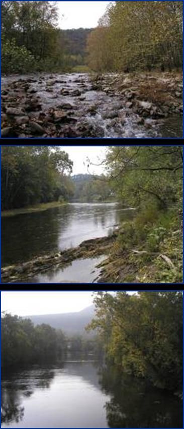
Shenandoah River
Alison Teetor
Natural Resource Planner
Clarke County, Virginia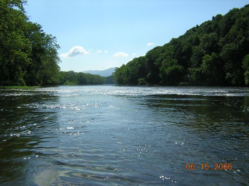
Outline Background Why studies are important - Purpose What was learned How is information being used What could be done moving forward
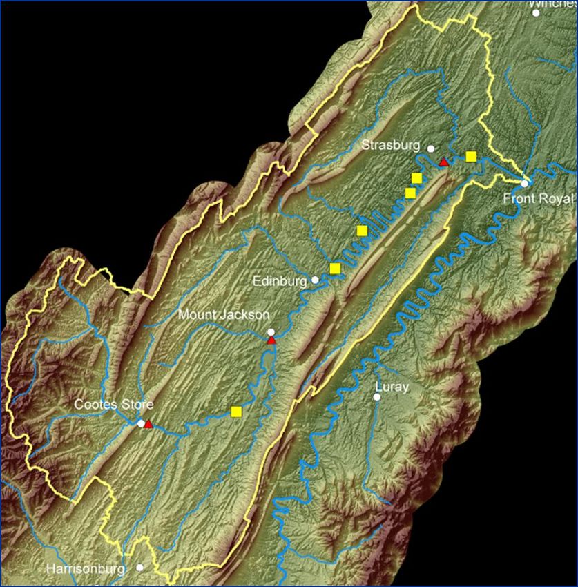
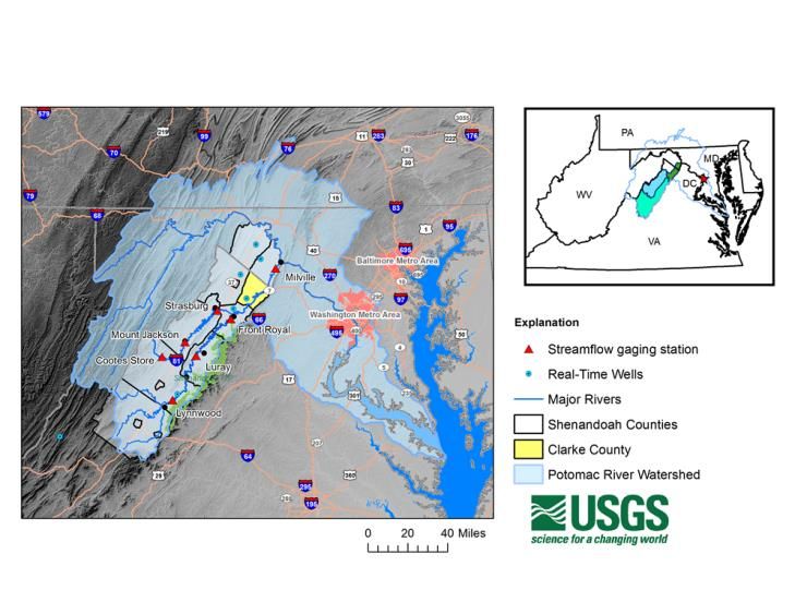
Shenandoah River Watershed
Background
1990 - Clarke and Warren Counties petitioned
the Department of Environmental Quality to
designate the Shenandoah River in Clarke and
Warren Counties as a "Surface Water
Management Area."
• the stream has substantial instream uses;
• records indicate that damaging low flows
could occur;
• current or potential offstream uses are
likely to exacerbate natural low flows to
the detriment of instream uses.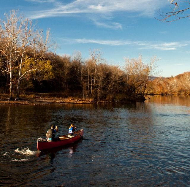
Why Important -Valuable Fishery
“Serious smallmouth anglers know the Shenandoah
River is one of the top smallmouth bass rivers in the
eastern United States” (VA Dept. Game & Inland Fisheries)
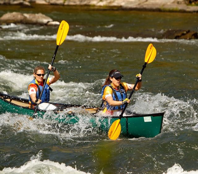
Why Important - Tourism Big money maker in Valley Economic health dependent on minimum flows
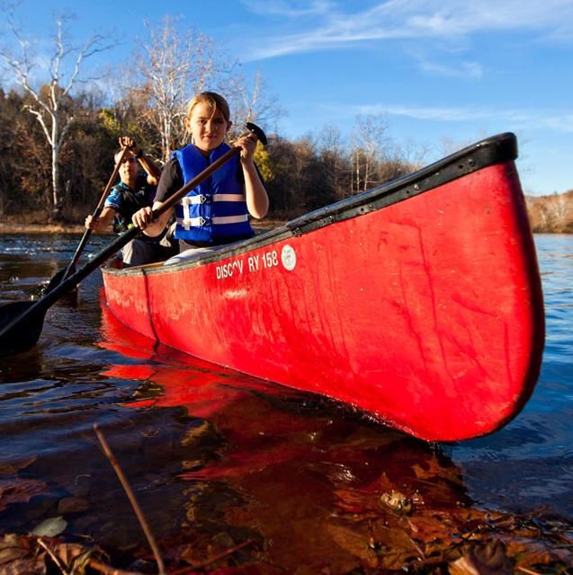
Why Important:
Aquatic Ecosystems
Fish depend on certain minimum flows, others
depend on fish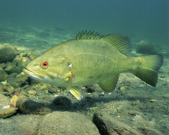
Why Important - Industry
Why Important - Residential
Shenandoah Valley located near major
        metropolitan areas
Why Concerned:
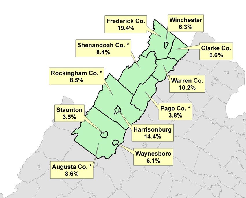
10 Year Population Projection
Shenandoah Valley
9% average increase
4 of top 10 Agricultural
Producers in Virginia
Water demand high
* Top 10 Agricultural ProducerSupply and Demand in the North Fork
40
Maximum Daily Demand
30 Maximum
Daily
Demand
(mgd)
Low Daily
20 Mean Flow
of Record
10
0
2000 2025 2050 2075
YearRegional Investment
Main Stem Shenandoah River: 1995 to
1999 280K
North Fork Shenandoah River: 1999 to
2004 400K
South Fork Shenandoah River: 2004 to
2011 700K
Mainstem Shenandoah River Model Update:
2011 to 2013 54KRegional Investment
Long term regional approach
2 Planning Districts, 7 Counties, 4 Cities,
numerous towns have all worked together
20+ years and still going strong USGS
partnership
DEQ and General Assembly, Environmental
Organizations
Long term monitoring data essential
Stream gage data vitally importantPurpose
Provide the counties and communities in the
Shenandoah Basin a better knowledge of the:
water resources in the basin
the regional hydraulic system
the effect of withdrawals and conservation measures
on the ecology, agriculture, industry, and water
supply.What are the Habitat Needs of Fish
in the Shenandoah River Watershed?
Non-game Fish Game Fish
River chub
(www.fishbase.org)
Cyprinella spp.
(www.fishbase.org)What are the Suitable Flow Ranges for Recreation
in the Shenandoah River Watershed?Benefits and Outcomes
Shenandoah EcoFlows Studies (1995-2013)
Field data collection coupled with
habitat modeling to provide relevant
recreation and ecological flow
information for the Shenandoah
River Watershed
Select drought thresholds from
science-based understanding of fish
habitat needs.
Test state-mandated “Water Supply
Planning Initiative” water-use
scenarios for impacts to aquatic
habitat.
Results can be used by DEQ for
water supply planningShenandoah River Instream Flow
Results
A ‘tipping point’ below which habitat loss occurs in the lower part of the
South Fork Shenandoah watershed was the 5% flow. For the upper
portion of the watershed the tipping point was often 10% flow. The 7Q10
is much lower than the 5% flow. Traditional flow statistics for drought
planning (7Q10) are not protective of fish habitat.
Timing of water withdrawals (or conservation) and preceding flow/habitat
condition effects the magnitude of impact they have on habitat availability.
During normal years, increased water use is not likely to correspond with
habitat loss, but during drought years increased water use may cause
extensive habitat lossWhat are we doing:
Uses of Minimum Instream Flow Data
Local - Drought Response (current)
State - Water withdrawal permitting (current)
Regional - Offsite storage needs (future)What are we doing:
Drought Response Plan
Drought Indicators
Precipitation
Stream flow
Groundwater levels
Palmer Drought
Severity Index
(PDSI)What are we doing:
Drought Response
Incorporate low flow data
in Drought ResponseWhat are we doing:
Drought Response Plan
Stage levels
Stage Cootes Store Mt. Jackson Strasburg
Normal 62% (>100 cfs) 37% (>120 cfs) 22% (>150cfs)
Watch 62% (< 100 cfs) 37% (>120 cfs) 22% (>150 cfs)
Warning 50% (Watch
• Precipitation at or below normal for time period
• Stream Flow 10-25%
Warning
• Groundwater 10-25% • Precipitation at or below normal for time
period
• Stream Flow below 10%
• Groundwater below 10%
Stage
Emergency
Declaration • Precipitation at or below normal for time period
• Stream Flow at or below 5%
• Groundwater at or below 5%Web Site Development Drought Awareness
Conclusion
Natural Resources specifically water are of vital
importance to regions economy
Continuous research, data collection and analysis
are critical to understanding this complex
resource – DEQ water quality monitoring USGS
stream gages
Recommend incorporation of regional flow data
in low flow metrics used to evaluate water
withdrawal permits
Initiate development of off-site water storageQuestions?
Alison Teetor
Natural Resource Planner
Clarke County Planning Department
101 Chalmers Ct.
Berryville, VA 22611
540-955-5134
ateetor@clarkecounty.govYou can also read