Mapping in the Cloud: Working with Google Maps and other Mapping Services - Michael P. Peterson University of Nebraska at Omaha
←
→
Page content transcription
If your browser does not render page correctly, please read the page content below
Mapping in the Cloud: Working with
 Google Maps and other Mapping
             Services

          Michael P. Peterson
    University of Nebraska at Omaha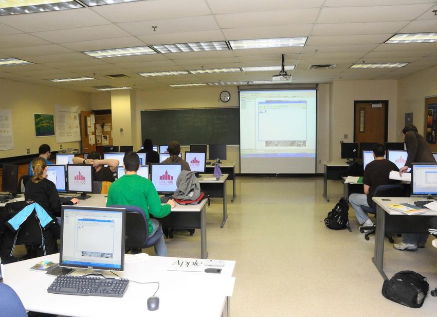
Outline
1.   Coding as Literacy
2.   Cloud
3.   Cloud Maps
4.   Education
5.   Future
Mapping in the Cloud
• Maps have always been dependent on tools
  – Tools for measuring world
  – Tools for making maps – printing, photography
• Map making tools are now in the cloud
  – Data, and the programs to process, display the
    data
• How should the modern map maker be
  trained with these new tools?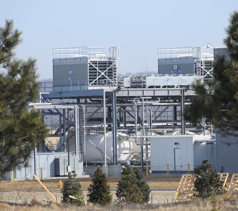
Programming Maps
• 1960s-1980s mapping by computer required
  knowledge of programming
• By 1990s, standard programs had developed
  that removed the programming requirement
• Using cloud resources for mapping again
  requires some programming knowledge
Coding as Literacy
• Formerly relegated to geeks, programming is a
  hot topic again
  – CodeAcademy and Khan Academy
     • Free online sites for learning how to code
  – new movement effectively argues that
    programming is a necessary skill that everyone
    should know, like reading and writing
  – Programming is now being viewed by many as a
    form of expression, as the “amplification of
    thinking,” and a necessary skill.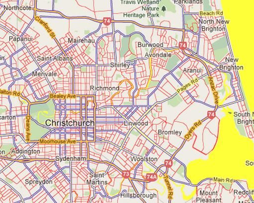
Internet has changed programming
• Application Programmer Interfaces (API)
  – Library of existing routines
• Possibility of using multiple APIs
• Programming has become the knowledge of
  integrating existing code
  – Languages like JavaScript make it easy to ‘examine’
    source code
• Can this type of “Internet programming” be
  taught to make maps?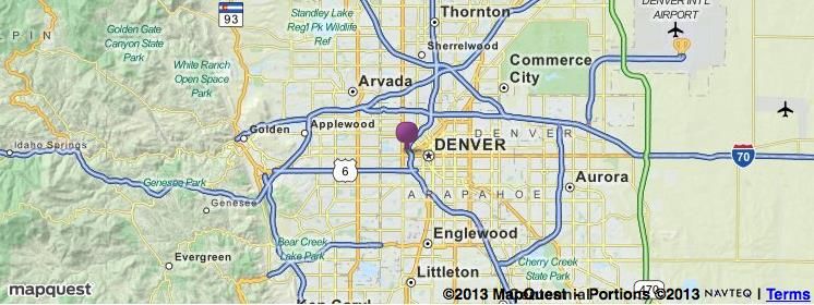
API
• Online libraries of functions, freely available
• Tools to acquire, manipulate and display
  information from a variety of sources
• Facilitate the fusion of data and mapping
  resources
• Multitude of APIs available for a variety of
  functions
• Most used: Google Maps API
  – Most used of any API
Teaching APIs
• Mashups taught since 2007
  – Austria, Germany, New Zealand & US
• Upper-division students with varied
  programming experience, some with none
• Experiences with
  – HTML, JavaScript
  – APIs: Points, lines, areas, layers, mobile browser
  – php, MySql
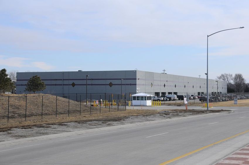
Cloud

On the ground
Power back-up
Initially: Lead-acid batteries
Then: 10 diesel generators
SOCIEDAD LATINOAMERICANA DE PERCEPCIÓN
REMOTA Y SISTEMAS DE INFORMACIÓN ESPACIAL
SELPER
COLOMBIA
            o
           3años
Content Delivery Networks (CDNs) • Content Delivery Networks (CDN) provide file servers distributed so as to maximize bandwidth • visitors to a website can be served content from a nearby server • Big names in the CDN business are Google, Amazon, and Yahoo. • Data centers are the brains, CDNs are the synapses
Location of Google’s content delivery
           network (CDN)
Cartography
• Two most important technology-driven
developments in the past decade:
– MSPs and MOMM
• MSP – Multi-scale pan-able
– Tile-based presentation of maps
• MOMM – Me on my Map
– The reassuring blue dot
– GPS, cell-phone tower triangulation, wi-fi
signal triangulation
– Most people couldn’t find themselves on a
paper mapA Google Map Tile
Since 2005
Small
pictures:
256 x 256
pixel png
filesMSP Google Raster – 2005 to 2010
Renderings
• Different
  ways of
  symbolizing
  underlying
  vector data
• Many would
  try to limit
  cartography
  to this aspect
Web Mercator
• Mercator projection
  used by all major map
  providers
• Severely distorts area
• Greenland takes as
  much space on the map
  as Africa, when in
  reality Africa's area is
  14 times greater
Tiling

Suppliers of vector data:
TeleAtlas, Nokia (NavTeq)
                                 At 20th zoom level:
                            268,435,456 pixels on a side.

• Raster tiles are still used by Bing, Yahoo (Nokia), MapQuest,
  OpenStreetMap, Baidu
• All tile their maps exactly the same way.
• Same projection. Same divisions. Tiles are interchangeable.
Tiles and cost
2010
pricesWhat does it mean?
• Supplying MSP (Multi-Scale Pan-able) maps is
very expensive.
• Companies competing to provide the most up-
to-date and fastest maps.
• Most important aspect of the online map is the
speed of map display.
– Governments and open-source solutions can’t
compete
– Open source solutions too slow
– Server resources, technology too expensive2010 - Google Changes to Vector Tiles
Vector tiles makes
it possible to style
the map
Rasterization done toward the
end of the map delivery
process.and change text … Other map providers “burn” text into each tile.
Evaluation of APIs
• Length-of-code criteria
– How much code is needed to perform a specific
operation
• Page-length code premise
– Any code using an API should only be one page in
length
– Longer code is an indication that the API is not
properly structured to support the needed
operations
– Extra JavaScript programming is needed to make-up
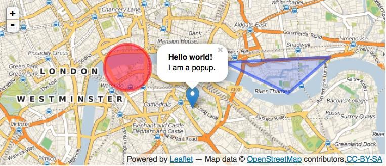
for the shortcomings of the APIResultant Map
Google Maps API
The map
Bing
Bing code
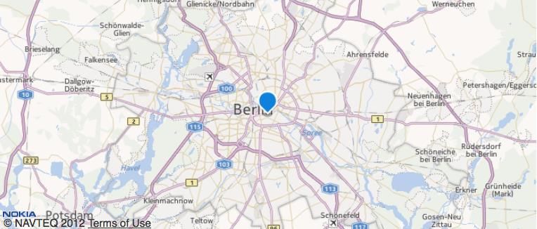
HTML code missingNokia
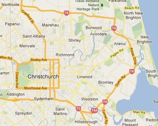
MapQuest
MapQuest Code

   /*An example of using the MQA.EventUtil to hook into the window load event and execute defined funct
   passed in as the last parameter. You could alternatively create a plain function here and have it
   executed whenever you like (e.g. ).*/

   MQA.EventUtil.observe(window, 'load', function() {

    /*Create an object for options*/
    var options={
      elt:document.getElementById('map'),         /*ID of element on the page where you want the map added
      zoom:10,                      /*initial zoom level of map*/
      latLng:{lat:39.743943, lng:-105.020089}, /*center of map in latitude/longitude*/
      mtype:'map'                     /*map type (map)*/
    };

    /*Construct an instance of MQA.TileMap with the options object*/
    window.map = new MQA.TileMap(options);

    /*An example using the MQA.Poi constructor. You will need to pass in an object containing
    the lat (Latitude) and lng (Longitude) property defining where to place the POI
OpenStreetMap
OpenStreetMap Code
OpenLayers Simplest Example
var lat = 46.810928;
var lon = -90.817981;
var zoom = 15;
var fromProjection = new OpenLayers.Projection("EPSG:4326"); // Transform from WGS 1984
var toProjection = new OpenLayers.Projection("EPSG:900913"); // to Spherical Mercator Projection
var position = new OpenLayers.LonLat(lon, lat).transform( fromProjection, toProjection);
map = new OpenLayers.Map("Map");
var mapnik = new OpenLayers.Layer.OSM();
map.addLayer(mapnik);
var markers = new OpenLayers.Layer.Markers( "Markers" );
map.addLayer(markers);
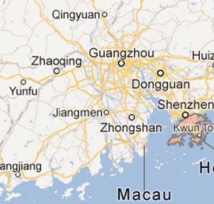
markers.addMarker(new OpenLayers.Marker(position));Baidu
AutoNavi
Leaflet
Leaflet code
MapStraction
MapStraction Code
Shortest code?
• Difficult to evaluate
   – All APIs have verbose and short-hand (default) forms
   – Variation in the functionality per code line
       • Leads to variation in functionality per code page
• Leaflet is compact
• Nokia & OpenStreetMap are verbose
• But …
What about long-term viability?
• Maintaining/developing the code
• Maintaining/developing the underlying map
• Who is updating their API?
• Map updates
– Currency of map (How up-to-date is the map?)
• Speed of map delivery
– How fast the map is delivered to the user.
– Speed of map delivery is the single most
important aspect of mapping in the cloudRevenue Stream
• Updating maps and making them available is
expensive
– $600,000 for hard-drives to store all tiles for 20
zoom levels
– Continuous and major revenue stream is needed
• Making money from maps that are provided for free
is not easy
– Whichever company does this the best has the
best APIComments about MSP maps
• A student of ESRI ArcGIS: “Why can’t this be
more like Google Maps?”
– The map interface in GIS software is old. The
software produces maps that nobody wants to use.
• About Bing Maps: “I think Google Maps does a
better job of representing the more important
roads. I also prefer the colouring scheme used in
Google Maps.”
– Google Maps has become a standard map. Other
representations are not viewed as maps – including
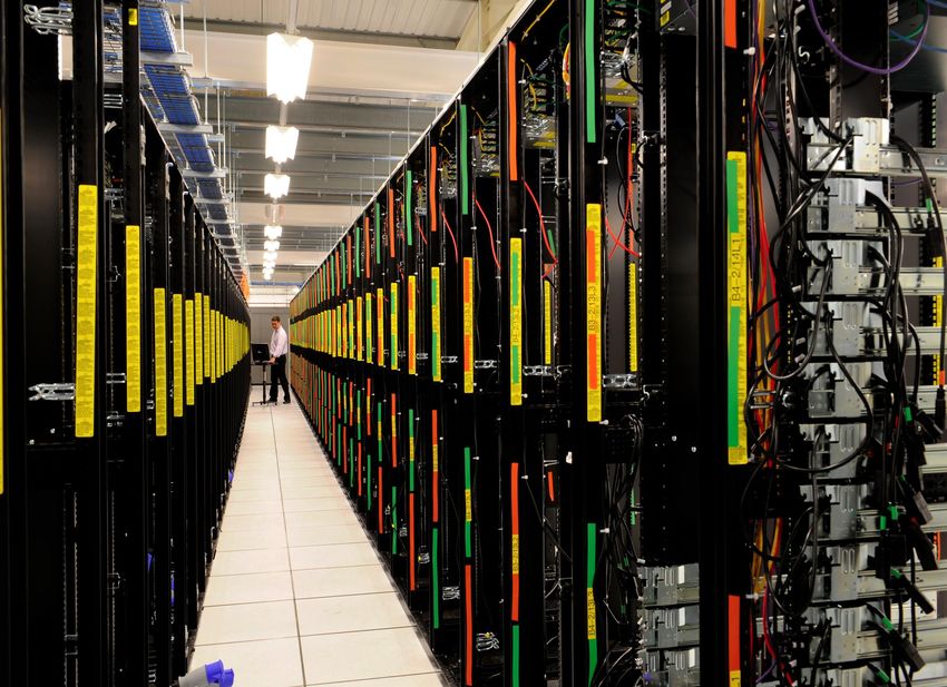
Apple maps.Ubiquitous Geospatial Education lab
Ubiquitous Geospatial Education lab

                    Eliminate
                    for
                    most
                    applications
Turning a Ship
• Lab environment extremely important aspect of
geospatial education
• In the past…
– Yearly software maintenance contract
– Hardware replacement every 3-4 years
– Software that students couldn’t otherwise access
• In the future…
– Creates an environment for human interaction to the
cloud
– Basic computers, large monitors, no softwareFuture
• Next 20 years will see even greater changes than
last 20 years
• Movement to the cloud
– New methods of map delivery
• New raster and vector tiles
– New methods of map interaction
• It’s all about interaction
– Developing new methods of instruction
• Effectively combining theory and practice
• Changing computer labs to more effectively use
the cloudThank you
You can also read