The growth of urban Kolkata, India and its impact on the precipitation processes - Chandana Mitra
←
→
Page content transcription
If your browser does not render page correctly, please read the page content below
The growth of urban Kolkata,
  India and its impact on the
    precipitation processes

                    Chandana Mitra
                  Department of Geography
                    University of Georgia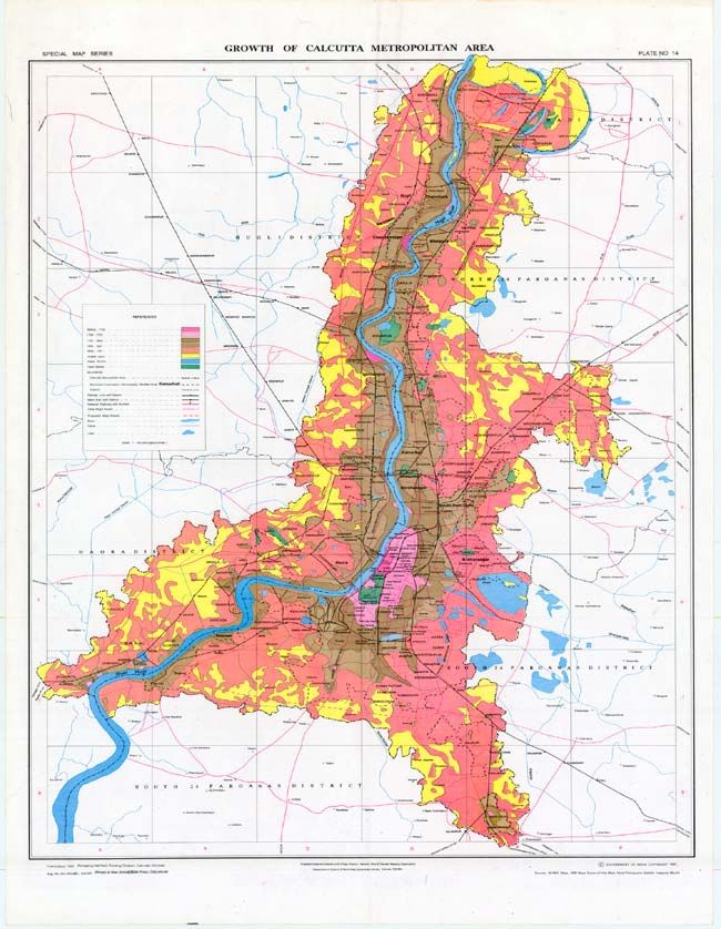
Kolkata City - Background
300 year old city
- Garrison town
- Company town
- Headquarters of
British India Govt.
- now one amongst the four
biggest cities in India
In 1735 population of 100,000.
Present population is 15 million
(KMDA Report 2005)
Reasons behind population explosion
in Kolkata city
Sudden influx of refugees in 1931-
1947, before & after independence
Only important city in the eastern
part of India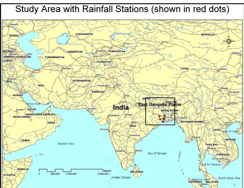
Has Kolkata’s growth changed regional
                hydroclimate?
Past and Recent literature (see Shepherd et al 2010 for review) continue to indicate
that urban areas affect spatio-temporal rainfall variability.
Why study urban effects on
Hydroclimates?

• Water
  Resources
• Public Health
• Agriculture
• Planning
• Hazard
  management         Shepherd and Mote
                     2009; Mote et al 2007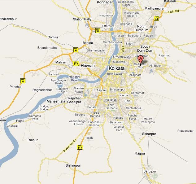
Research Objectives
To conduct an analysis using
historical maps and satellite remote
sensing to delineate the urban growth
dynamics over 300 years.
To investigate whether trends in pre-
monsoonal rainfall over the last 50
years are correlated with urban land
cover growth .
To utilize Cellular automata modeling
techniques to project future land cover
growth in Kolkata.
To investigate urban landcover (past,
current, future) - precipitation
relationships using coupled land
atmosphere models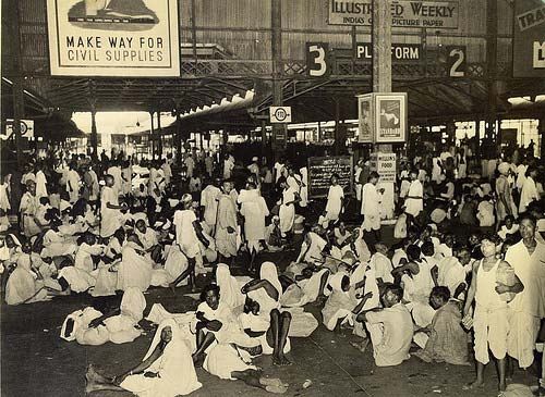
Significance of
Research
Thorough spatio-temporal evaluation of Kolkata’s urban land
cover dynamics over 300 years.
One of the first attempts to use the CA - Markov model on any
city in India.
Real estate, industrialists, the government, the common people
will benefit from this future growth projection.
One of the first studies to use an urban growth model coupled
with an atmospheric- land surface model to look at future growth
effects on precipitation (Shepherd et al 2010, ENV Planning B)
It will provide a prototype methodology for studying the effect of
future urban growth scenarios on rainfall in developing
countries.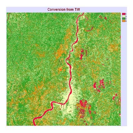
Why pre-monsoon is significant?
There is a lack of any long term analysis of the pre-monsoon
period rainfall in the literature
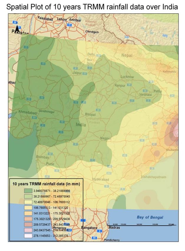
12% of E. Gangetic Rainfall
During pre-monsoonal period, rainfall is most likely to be
convective in nature and driven by mesoscale processes (like
urban forcings)
Mean monthly rainfall (in mm) for the area (82-89 E, 19-26 N) using
Legates and Willmott (1990b) data set.
Data and methods used
Historical paper maps, Landsat
ETM images, TRMM and
Legattes-Willmott data sets,
NCEP data.
Methods – Digitization, Mann-
Kendall trend analysis, CA-
Markov LULC growth model,
WRF_NOAH model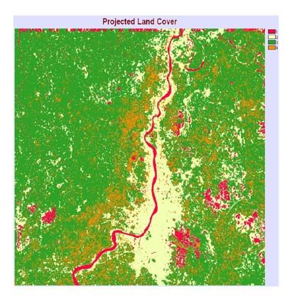
Results - Growth of Kolkata- Objective 1

  Unprecedented
  depiction of 300
  years of urban land
  cover growth
Results - Growth of Kolkata- Objective 1
Four fold increase of
land cover between
1947 – 1990
Per year change in land
cover was 23.20 up to
1990 and is still
continuing Years Total Area Change in Area change/
(sq. km.) Area year
(sq. km.) (sq. km.)
Between 1990 – 2000, Before 1756 4.0
the per year change is
land cover was more 1756 – 1793 34 30 0.80
than that before 1990 1793 – 1856 136 102 1.60
1856 – 1947 361 225 2.50
1947 - 1990 1363 1002 23.20
1990 – 2000 1658 295 29.50Results - Time series showing pre-
monsoonal rainfall (50 years)
no statistically significant trend in
pre-monsoonal rainfall for India and
the East Gangetic region.
three significant trends: two of the
city of Kolkata and one Midnapore,
which is a fairly sizeable city.
Mann– Kendall analysis appears to
support the hypothesis that large
urban areas like Kolkata have
influenced cumulative rainfall in the
pre-monsoonal season.Results – Statistical significance
of trends
P-value < 0.05 is significant at 95 % level
Stations P - Value Tau
correlation
Alipore 0.0167 0.227
Dumdum 0.0129 0.236
Bankura 0.0881 0.173
Krishnanagar 0.3982 -0.081
Sagar Island 0.6032 0.051
Midnapore 0.0007 0.323
India 0.0872 0.163
East Gangetic 0.1795 0.128Results - Explanations for the
dynamics of 2025 projected growth
Years Total Area Area change/ year
(sq. km.) (sq. km.)
1990
Before 1756 4.0
1793 34 0.80
1856 136 1.60
1947 361 2.50
1990 1363 23.20
2000 1658 29.50
2025
2025 2653 39.80
• Transportation lines
• The river Ganges
• Wetland ???
Elements of Research Objective 2 to be submitted to Professional Geographer, March 2010Ongoing Research – 3rd Objective Cellular Automata WRF NOAH WRF-NOAH Model The assessment of urban growth will be applied to weather-climate studies using the Weather Research and Forecast model coupled with the NOAH land surface model. The approach will involve simulating pre- monsoonal rainfall case days for Kolkata under past, current, and projected land cover scenarios.
Experimental design and results
5th April 2004: chosen
date for the runs.
Circa 1950 landcover
Circa 2000 landcover
Circa 2025 landcover
(Under same initial
From the analysis we are to
meteorological compare cumulative rainfall,
conditions) convergence and sensible/
latent heat fluxes as presented
in Shem and Shepherd 2009Conclusions
Large urban areas like Kolkata may have
influenced cumulative rainfall in the pre-
monsoonal season.
The city will grow mostly to the S-SE and
east. In 2000 the growth/ year was 29.50 sq.
km and prediction is that in 2025 it will be
39.80 sq km.
The WRF-NOAH model results will show
present and predict future rainfall amounts,
which will be validated with available rainfall
data.Adaptive Management The government has planned to decentralize
Questions, please?

     http://news.nationalgeographic.com/news/2006/07/060705-mouse-frog.html
You can also read