Webcast Logistics - Model My Watershed: A Tool for Water Resource Management - EPA
←
→
Page content transcription
If your browser does not render page correctly, please read the page content below
Model My Watershed:
A Tool for Water Resource Management
        Webcast sponsored by EPA’s Watershed Academy

                        Thursday, March 9, 2017
                        1:00pm – 3:00pm Eastern

  Speakers:
  •     Dr. Anthony Aufdenkampe, Senior Environmental Scientist, LimnoTech
  •     Dr. Barry M. Evans, Senior Research Associate, Penn State University
        and Adjunct Faculty member at Stroud Water Research Center
  •     Bill Brown, Chief, TMDL Development Section, Pennsylvania Department
        of Environmental Protection

                  Webcast Logistics

• To Ask a Question
      • Type your question in the “Questions” tool box on the right
        side of your screen and click “Send.”

• To Report any Technical Issues
      • such as audio problems
      • Type your issue in the “Questions” tool box on the right side
        of your screen and click “Send” and we will respond by
        posting an answer in the “Questions” box.

                                                                               2

                                                                                   1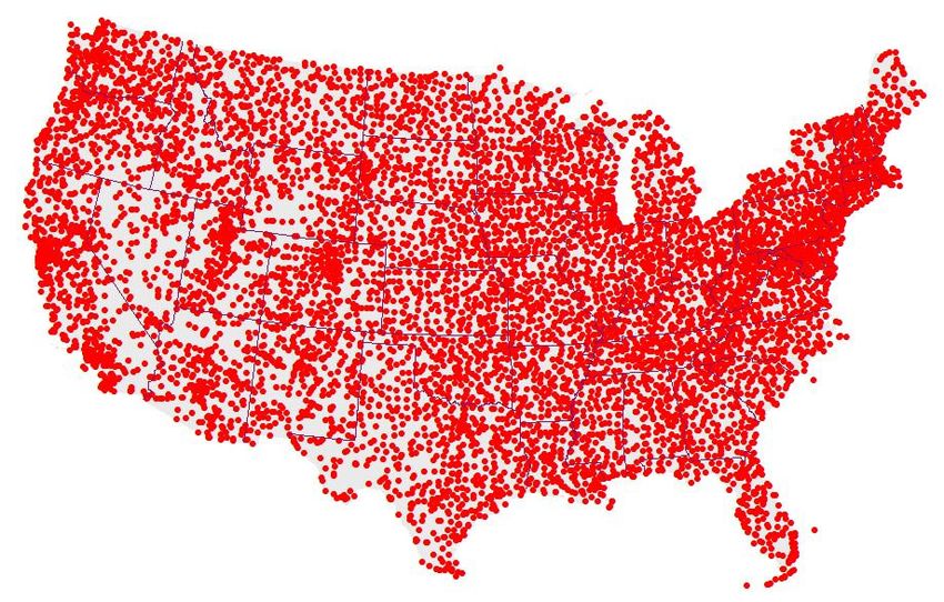
Speakers
• Dr. Anthony Aufdenkampe, a Senior Environmental Scientist
  at LimnoTech in Minnesota. He serves as the project manager
  for Model My Watershed at Stroud Water Research Center.

• Dr. Barry M. Evans, a Senior Research Associate at Penn
  State University and Adjunct Faculty Member at Stroud Water
  Research Center. He is the author of the (MapShed) model that
  has been incorporated into the Model My Watershed online tool

• Bill Brown, who is Chief of the TMDL Development Section at
  Pennsylvania’s Department of Environmental Protection

                                                                    3

   Overview of Today’s Webinar
• WikiWatershed and the Model My Watershed Web App
   • Motivation & Vision
   • Delaware River Watershed Initiative (DWRI)
• “Site Storm Model” in Model My Watershed
   • Introduction and Micro Site Storm Model
   • Case Study A: Conservation Scenario vs. Development Scenario
   • Case Study B: Preliminary Conservation Planning
• “Multi-Year Watershed Model” in Model My Watershed
   • Introduction to MapShed (GWLF-E)
   • Incorporation of Core MapShed Components into Model My Watershed
   • Case Study C: Watershed Improvement Plan (WIP) Based on
     Prior TMDL Assessment
   • Case Study D: Simple MS4 Application
   • Case Study E: More Comprehensive MS4 Application
• WikiWatershed into the Future
   • Big Water Data: Visualization & Analytics for Everyone         4

                                                                        2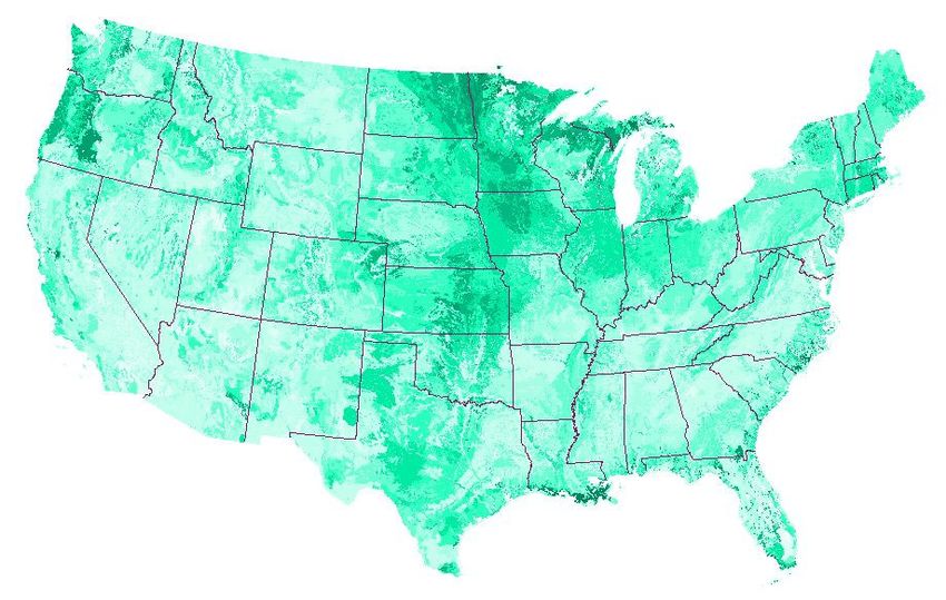
Model My Watershed
                             Project Team

Anthony Aufdenkampe,
David Arscott, Melinda Daniels,
Steve Kerlin, Tara Muenz,
Barry Evans

Robert Cheetham, Matt McFarland,
Arianna Robbins

David Tarboton, Jeffrey S. Horsburgh,
Emilio Mayorga, Scott Haag,
Ali Shokoufandeh

Nanette I. Marcum-Dietrich, Millersville Univ.;
Carolyn Staudt, Concord Consortium                5

                 Model My Watershed
                           Project Support

William Penn Foundation

National Science Foundation
    • grants DRL #0929763 & DRL #1418133

Stroud Water Research Center

Virginia Wellington Cabot Foundation

The Dansko® Foundation

Generous donations from Peter Kjellerup and
Mandy Cabot
                                                  6

                                                      3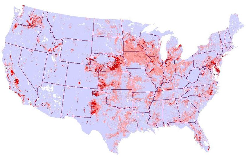
The Future of Water Protection
 • Information and knowledge are foundations of
   a functional democracy.
    • Informed citizenry is key to protecting watersheds,
      but …
    • It is presently nearly impossible to get a complete
      picture of information and data from the dozens of
      federal, state, municipal, academic and volunteer
      sources.
 • Can we harness the power of
   Wikipedia, Facebook and Google Earth
   to bring people together to share information?
                                                            7

A Web toolkit to support citizens,
conservation practitioners, municipal decision-makers,
researchers, educators, and students

to collaboratively advancing knowledge and
stewardship of fresh water.

                                                            8

                                                                4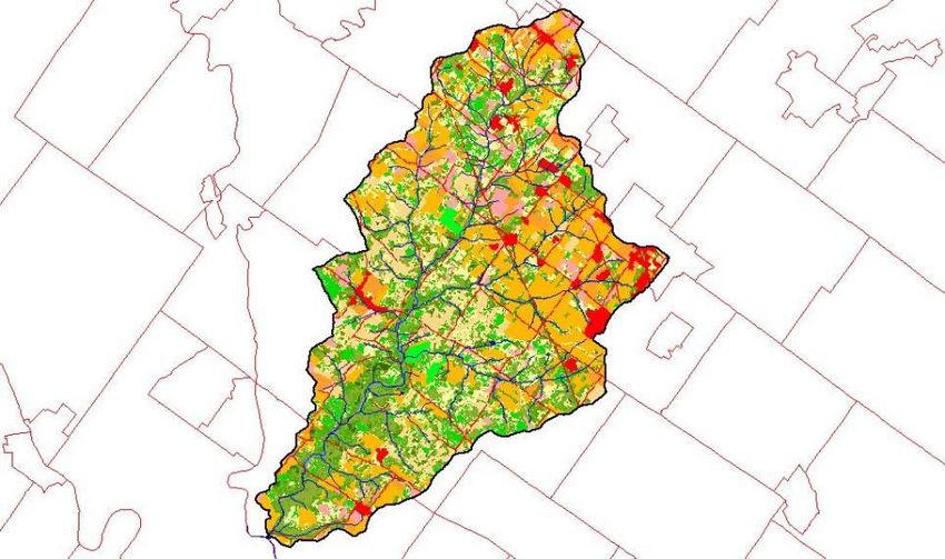
Three Programs
• Model My Watershed®–                a watershed-modeling Web app to:
   • analyze real land cover, soil and other geospatial data,
   • model storm water runoff and water quality, and
   • compare conservation or development scenarios in your watershed

• Monitor My Watershed® – an new Web app (late 2017) for:
   • interactive map-based discovery, visualization, and sharing of data
   • from federal, state, academic and citizen sources; and
   • resources to assist citizens to monitor their watersheds using
     low-cost monitoring approaches based on sound science (EnviroDIY)

• Manage My Watershed® – a envisioned social networking
  Web app to support a community of practice for the protection of
  freshwater resources and to engage citizens with policy-makers.     9

                                         MMW Web
                                         Application
• Decision Support System for water conservation
   • Rapid visualization of watershed data
   • High-performance geospatial analysis capabilities
   • Science-based predictions of human impacts on
     stormwater runoff and water quality
• Intuitive user interface & satisfying user experience
  from any web browser
• Easy to share watershed-model scenarios,
  watershed-monitoring data
• Features for public and professional users alike
                                                                     10

                                                                           5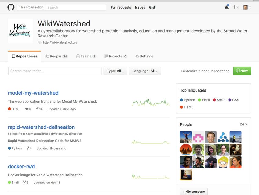
Delaware River Watershed Initiative
 • A collaboration among >50 leading
   conservation organizations in DRB to:
   • protect tens of thousands of acres of land
     from development, restore streams,
   • test innovative approaches in ecologically
     significant places, and
   • monitor results over time.
 • Funding: William Penn Foundation (WPF)
   • >$60M since 2014,
   • planning for a second phase

                                                  11

          Introduction to
       Model My Watershed
  Data Visualization and Analysis

                                                  12

                                                       6
Web Demo

   http://wikiwatershed.org
https://app.wikiwatershed.org

                                13

  Introduction to
Model My Watershed
 Site Storm Model

                                14

                                     7
Site Storm Model: Core Components
 • Simulates a hypothetical 24-hour storm
    • Total precipitation is variable
 • Runoff model:
    • SLAMM: Source Loading and Management Model for Windows;
      urban small storm algorithms from Robert Pitts & WinSLAMM
    • TR55 for rural areas and large storms
 • Water quality
    • EPA STEP-L: Spreadsheet Tool for Estimating Pollutant Load
 • Compare Scenarios
    • Land cover change
    • Conservation practice / Best Management Practice (BMP)
      implementation

                                                               15

          Case Study A:
           Scenarios for
   Conservation vs. Development
         Anytown, USA

                                                               16

                                                                    8
Web Demo

         http://wikiwatershed.org
      https://app.wikiwatershed.org

                                      17

          Case Study B:
Preliminary Conservation Planning
        at Cooch’s Bridge

                                      18

                                           9
Web Demo

   http://wikiwatershed.org
https://app.wikiwatershed.org

                                19

      Questions?

    WikiWatershed?
  MMW Site Storm Model?
     Case Study?

                                20

                                     10
Overview of
“Multi-Year Watershed Model”
in Model My Watershed
Barry M. Evans, Ph.D.
Penn State University & Stroud Water Research Center
Bill Brown, Chief, TMDL Development Section,
Pennsylvania Dept. of Environmental Protection
21
Introduction to
MapShed Desktop Application
22
11Brief History
• MapShed is a “desktop” application that includes:
• A GIS package for generating input parameters
• The GWLF-E watershed simulation model
• Generalized Watershed Loading Function (GWLF) model
• Substantially enhanced over 15 years to become GWLF-E
• GWLF-E available within EPA BASINS model framework
• MapShed is an update of AVGWLF, which was:
• Developed using ArcView 3.x software (AVGWLF)
• Used by PA DEP and a number of other government and research
organizations since 1999.
• Efforts to re-configure to work in non-commercial GIS platform
(MapWindow) began in 2010.
23
• First “non-beta” version of MapShed released to public May 2012.
Core Components/Functions
• Pre-processor
• used to overlay and manipulate GIS layers, weather files, and
other data for purpose of creating input files for the core
watershed simulation model (GWLF-E)
• GWLF-E model
• run with prepared input files to estimate nutrient (N and P),
sediment, and pathogen loads for a given watershed (or
watersheds)
• BMP simulator
• a module for evaluating the potential benefits of BMP
implementation
• Other tools
• to visualize, evaluate and compare model output
24
12Use MapShed to create a project and load various data layers...
25
26
13...then use MapShed to derive input data for the GWLF-E model
27
When input file has been prepared, open up the GWLF-E model 28
14Review and edit input data
29
Run the GWLF-E model
30
15Various types of
annual, monthly and
daily output created
31
All output written to
Excel files to provide
additional control in
management and
display of data 32
16Input can be edited to reflect BMP implementation levels
33
Specify various BMP
settings for a given
scenario, and then re-
run GWLF-E to
estimate potential load
reductions….
34
17... and compare the
results 35
Available at www.mapshed.psu.edu 36
18Incorporation of
Core MapShed Components
into Model My Watershed
37
Key Activities
• Re-produce MapShed geoprocessing routines in
Model My Watershed
• Translate routines and formats from MapWindow to
Geotrellis/GDAL/PostGIS
• Re-program GWLF-E from Visual Basic to Python
• For multi-user processing on Linux and Apache Spark
• Use national GIS and weather data
• Rather than state or regional
• Compare model output
• Desktop MapShed vs. MMW on Amazon Cloud
• Using same input data
38
19Additional Datasets for
Watershed MultiYear Model
(MapShed)
39
Weather Stations
40
20Groundwater Nitrogen Estimates
41
Soil P Estimates (Soon)
42
21USGS Base Flow Estimates (Soon)
43
Soil Nitrogen Estimates (Soon)
44
22New Weather Station Data (Soon)
45
USDA Cropland Layer (Soon)
46
23Case Study C:
Watershed Improvement Plan (WIP)
Based on Prior TMDL Assessment
47
Basic Steps
• Run model to estimate pollutant loads from
various sources for purpose of evaluating
where focus should be with respect to future
remediation efforts.
• Once loads have been identified and
quantified, use MMW to simulate load
reductions from various BMPs and
remediation measures to assess potential
load reductions that might be achieved.
48
24Conestoga Creek Watershed in PA
49
TMDL Results
• Stream impairments primarily caused by siltation
and nutrient enrichment from agricultural sources
• Analysis determined that Total P should be
reduced by 38% and Sediment should be
reduced by 44%
• Various assessments are now being made as to
where BMP implementation may be most
effective in achieving these reduction targets as
part of an ongoing Watershed Improvement Plan
(WIP)
• In recent past, MapShed has been used in
Pennsylvania to simulate pollutant loads and
potential reductions; but Model My Watershed
can now be used to accomplish this.
50
25Web Demo
http://wikiwatershed.org
https://app.wikiwatershed.org
51
BMP Simulation Results
• Prior TMDL determined that Total P should be
reduced by 38% and Sediment should be
reduced by 44%
• With MMW, mean annual TP and sediment
loads were estimated to be 18,316 kg/yr and
7,648,782 kg/yr, respectively
• Given the above “current” loads, the reduced
“target” loads should be about 18,316 * 0.62 =
11,356 kg/yr for TP, and 7,648,782 * 0.56 =
4,283,318 kg/yr for sediment
• Can also download the model input file created
by MMW and do subsequent editing and model
runs with “desktop” version of the GWLF-E model
52
26Case Study C:
Simple MS4 Application
53
Background
• In Pennsylvania, all regulated areas (e.g.,
MS4s) are required to develop a “Pollutant
Reduction Plan” to reduce sediment loads
associated with their jurisdictions by at least
10% as part of the NPDES permit process
• Pollutant load estimates, including potential
load reductions achieved via future BMP
implementation, can be accomplished using
MMW.
54
27Basic Steps
• Use MMW to quantify distribution of land
use/cover within a given MS4 (municipality or
urban) area.
• Enter area values (e.g., acres) for each of the
land use/cover categories in a given area into a
spreadsheet (e.g., Excel).
• Apply Chesapeake Bay loading rates for N, P
and sediment to the area values to generate
estimates of total mean annual loads for each
pollutant type for each land use/cover type.
• Estimate potential load reductions that might be
possible with BMPs/remediation measures.
• In PA, BMP reduction coefficients must be based
on “Performance Standard” approach.
55
Performance Standard Approach
56
28Web Demo
http://wikiwatershed.org
https://app.wikiwatershed.org
57
29Case Study E:
More Comprehensive MS4 Application
60
30Basic Steps
• Use MapShed to estimate pollutant loads
within a given watershed and the contribution
of one or more “urban areas” to those loads.
• Use MapShed (GWLF-E model) to estimate
potential load reductions within one or more
“urban areas” based on use of future
BMPs/remedial measures.
• This activity requires use of “Urban Area
Tool” functions which currently do not exist in
MMW, but will be implemented within a few
months.
61
Skippack Creek Watershed in MapShed
62
31Skippack Creek Watershed in MapShed
63
Skippack Creek Watershed in MapShed
64
32Skippack Creek Watershed in MapShed
Skippack Township
65
Skippack Creek Watershed in MapShed
Patton Township
66
33Skippack Creek Watershed in MapShed
Patton Township
67
Skippack Creek Watershed in MapShed
Patton Township
68
34Modeling of Skippack Creek Watershed in
MapShed
Patton Township
69
Modeling of Skippack Creek Watershed in
MapShed
Patton Township
70
35Skippack Creek Watershed in MapShed
Patton Township
71
Web Demo
http://wikiwatershed.org
https://app.wikiwatershed.org
72
36Questions?
MapShed?
MMW Multi-Year Watershed Model?
Case Studies?
73
WikiWatershed Web App
into the Future
74
37Big Water Data: for Everyone
• Scalable Cloud Infrastructure
• Computation: Amazon EC2; Apache Spark
• Data storage: Amazon S3 / Elastic Block Store
• 100% open-source software stack:
• Geoprocessing: GeoTrellis GitHub
• Data I/O: Python; PostGIS; PostgreSQL
• Models: Python modules and/or wrappers
• Web framework: Django Python
https://github.com/WikiWatershed 75
Big Water Data: for Everyone
Partnership between:
• Academic modelers, who:
• Prototyped all code
• Provided technical support for bug fixes
• Commercial software developers, who:
• Led user experience (UX) design
• Developed user interface (UI)
• Implemented all code on
Amazon cloud infrastructure
76
38GitHub
Future Developments: WPF Phase 2
• Enhance Model My Watershed
• Import/Export
• Better Share and Compare
• Improve performance
• Develop Monitor My Watershed
• Water data hub, via web-services from USGS,
EPA, state and academic sources
• Water data sharing, via EnviroDIY.org
open-source data loggers
• Partnerships & Training in DRWI
78
39Future Developments: Other Projects?
• Add new models?
• HSPF?, SWAT?, SWMM?
• Water Temperature?, Flooding?
• Ecosystem services? / natural capital?
• Add new modeling features?
• Detailed site design?, Customizable BMPs?
• Add enhanced data?
• Future land-cover forecasts?
• Localized data?, Global data?
• Add model output viewers/explorers?
• National Water Model?
• Calibrated model results for TMDL studies? 79
Thank You!
80
40Speaker Contact Information
Dr. Anthony Aufdenkampe
LimnoTech
Phone: (651-219-4076)
AAufdenkampe@limno.com
Dr. Barry M. Evans
Penn State University
Phone: (814-380-4779)
BME1@psu.edu
Bill Brown
Pennsylvania Department of Environmental Protection
Phone: (717-783-2951)
WillBrown@pa.gov
81
Next Watershed Academy Webcast:
Please Visit Our Website
More Details to Come!
www.epa.gov/watershedacademy
82
41Participation Certificate
If you would like to obtain participation certificates type
the link below into your web browser:
• https://www.epa.gov/sites/production/files/2017
02/documents/watershed_academy_webcast_certific
ate.pdf
You can type each of the attendees names into the PDF
and print the certificates.
83
Questions?
84
42You can also read