BC Conservation Officer Service Access Management Compliance and Enforcement Program (AMCEP) 2019 Report - East Flathead Access Management Area ...
←
→
Page content transcription
If your browser does not render page correctly, please read the page content below
BC Conservation Officer Service

     Access Management Compliance and
       Enforcement Program (AMCEP)
               2019 Report
Compiled by Conservation Officer Patricia Burley
May 15-November 15, 2019

                              East Flathead Access Management Area

                                                                     Page 1 of 37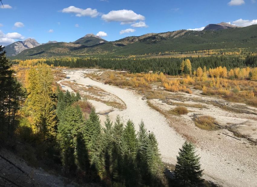
Table of Contents
Introduction ........................................................................................................... 3
Maps ...................................................................................................................... 3
Contact Information .............................................................................................. 3
2019 Results .......................................................................................................... 4
Chart and Summary from 2011-2019 ..................................................................... 7
Access Management Areas .................................................................................... 8
  Alexander Creek ........................................................................................................................................ 8
  Barnes Lake ............................................................................................................................................. 10
  Chauncey Todhunter............................................................................................................................... 12
  Corbin ...................................................................................................................................................... 14
  East Flathead ........................................................................................................................................... 16
  Galton Range........................................................................................................................................... 18
  Grave Prairie ........................................................................................................................................... 19
  Sheep Mountain...................................................................................................................................... 21
  Upper Elk Valley-Fording......................................................................................................................... 23
  Upper Flathead ....................................................................................................................................... 25
  Upper Wigwam ....................................................................................................................................... 26
  Weigert Creek ......................................................................................................................................... 28
  Wigwam Flats .......................................................................................................................................... 29

Education/Outreach ............................................................................................ 31
Other Work Projects ............................................................................................ 33
2020 Recommendations ...................................................................................... 34
Summary ............................................................................................................. 34
Appendix.............................................................................................................. 35

                                                                                                                                              Page 2 of 37
Introduction

In 2009 the East Kootenay Regional District (RDEK) electoral area A, in partnership with the BC
Conservation Officer Service (BCCOS), initiated the Access Management Compliance and
Enforcement Program (AMCEP). The AMCEP is dedicated to public education and enforcement
of Access Management Areas (AMAs) located within the Regional District of East Kootenay’s
(RDEK) Electoral Area A. AMAs are designated and regulated under the BC Wildlife Act. The
RDEK Electoral Area A geographically encompasses 463,917 Ha (not including the
municipalities). The RDEK Electoral Area A currently holds 14 AMAs, 19 BC Recreation Sites and
Trails and 4 Motor Vehicle Hunting Closed Areas (used to be known as VAHCs).

The following results illustrate the total effort spent by the AMCEP appointed Access Guardian
in each AMA within the RDEK Electoral Area A from May 15th to November 15th 2019. This
report also includes a summary of additional duties completed by the Access Guardian. Other
duties comprised of; environmental protection, fish and wildlife enforcement, public safety,
human wildlife conflict management, public presentations, stakeholder meetings, fund raising
and AMA related administration.

Maps

To reduce this document size, AMA maps have not been included in this report. If required,
maps of individual AMAs are available on the Ministry of Environment and Climate Change
Strategy website: www.env.gov.bc.ca/kootenay/eco/accessmaps.htm

As per the Letter of Agreement, the Access Guardian provided monthly AMCEP Reports to the
RDEK for review. The final reports from May to November 2012-2015, 2017 and 2018 are now
available for the public to view and read at the following website:
www.env.gov.bc.ca/kootenay/eco/accessmaps.htm

For further detailed information please refer to 2018 results.

Contact Information

Questions and concerns can be forwarded to Conservation Officer Burley.

RAPP 1-877-952-7277
Desk 250-423-4264
patricia.burley@gov.bc.ca
1621A 10th Avenue
P.O Box 2877, Fernie, BC, V0B1M0

                                                                                    Page 3 of 37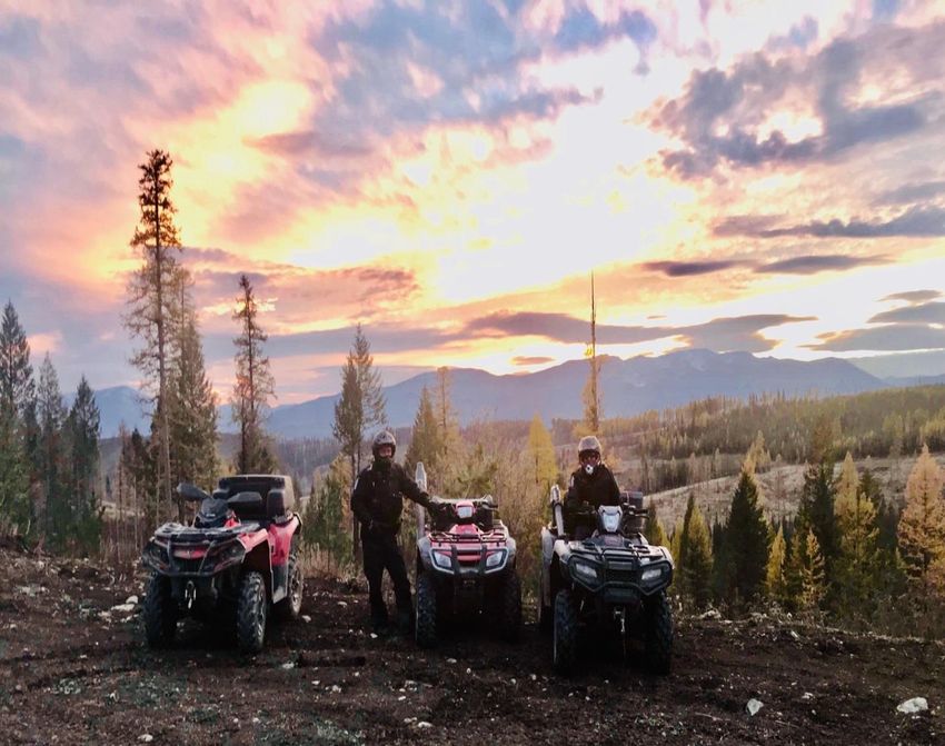
2019 Results

Table 1: Overall results of the 2019 Access Program.
Total number of patrols and time spent within each AMA was recorded along with the
number of persons contacted, number of charges, warnings and advice delivered.

Table 2: Overall outreach results provided to the public for the 2019 Access Program.

                                                                                   Page 4 of 37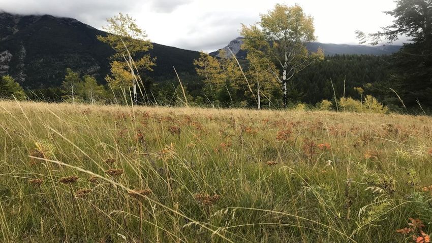
Table 3: Estimated time spent travelling to various AMAs.
Travel time calculated by multiplying travel distance by the number of patrols conducted.
(ex: Alexander Creek: Travel distance (2) x Patrols (6) = 12 hrs. of travel time (round trip).
This is time over and above time spent in the AMA.

Table 4: Summary of 2019 statistics.
Filtered numbers are for the months of Nov-Dec.

   •   It should be noted that Officer Presence is calculated as the time Officer(s) were
       physically present in an AMA and the outreach time provided for presentations, it does
       not account for travel to or from the areas.

   •   People who are provided advice are those defined as being encountered by a CO and
       discussing specific AMA facts and requirements for which the person in question was
       previously unaware. It should be noted that the AMCEP and general AMA facts are
       discussed with more than 60% of contacts.

                                                                                       Page 5 of 37
•   The above tables include the time spent on the preparation of the slide show
    presentation, Outdoor Access Guide, follow up paper work, media articles, brochures,
    AMA enforcement investigation time and phone conversations with questions regarding
    AMA’s.

•   Some AMA’s are patrolled more than others. The reason for this is that the COS
    responds to the areas with the most complaints and non-compliance. When time
    permits the Access Guardian tries to patrol areas that are remote and haven’t been
    inspected for some time.

•   In 2019 the AMCEP conducted 132 patrols within the Electoral Area “A” AMA’s. The
    patrols were completed primarily by the Access Guardian. On occasion other COS staff
    from the East Kootenay Zone was involved with the patrols.

•   Officers spent 404.2 hours patrolling within the AMA boundaries alone. In addition to
    these patrols 239.02 hours were spent on travel. An additional 252.5 hours were spent
    providing education to the public and completing investigations. Patrols conducted
    within the AMA boundaries were completed by truck, ATV, snowmobile and foot.

•   In 2019 a total of 31 AMA files were investigated by the East Kootenay COS in Electoral
    Area A. These violations involved vehicles operating within the boundaries of the
    AMAs.

•   Other violations that are commonly found while in the AMA’s are; loaded firearms,
    improper documentation (hunting/fishing licences), hunting out of season, fishing
    during closed time, illegal possession of wildlife/fish, hunting/fishing without a licence,
    illegal guiding, fishing with prohibited gear/bait, open liquor etc.

•   A total of 895.72 hours were committed to the AMCEP.

                                                                                     Page 6 of 37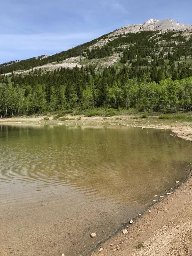
Chart and Summary from 2011-2019
Table 5: Summary of statistics of the AMCEP results from 2011 to 2015 and 2017-2019. The
program was on hold for 2016.

   •   Since the AMCEP started in August of 2011 the results of the program have been
       growing in success.

   •   The total number of Report All Polluters and Poachers (RAPP) complaints regarding AMA
       violations has increased since the introduction of the AMCEP in 2011. Most of the
       complaints reported to the Conservation Officer Service have resulted in convictions.

   •   More community groups have requested the Access Guardian to provide AMA
       presentations. In addition to the community group the Access Guardian also provides
       information to the general public and outdoor enthusiasts on a regular basis.

                                                                                 Page 7 of 37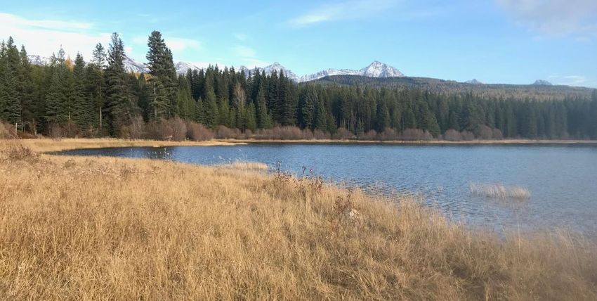
Access Management Areas
Alexander Creek

Table 6

   •   Alexander Creek AMA is one of the largest AMAs and has a vast network of roads
       predominantly within the northern portion. This AMA has the highest number of
       seasonal road closures. The enforcement of this AMA is challenging due to the size and
       network of roads leading from Alberta to BC. Most of the non-compliance within this
       AMA is due to the public entering the AMA with vehicles and damaging AMCEP property
       by cutting locks and chains attached to road closure gates.

   •   Alexander Creek AMA receives a high number of visitors from Alberta that frequently
       carry out quad trips (ATV, UTV and dirt bikes) from the Atlas staging area in the
       Crowsnest Pass. The complaints in 2019 have decreased since the previous years. This
       was likely due to the Alberta Parks ORV restrictions in the Crowsnest Pass.

   •   Access into the Alexander Creek AMA through the BC Crowsnest Provincial Park located
       off of Hwy 3 near the Alberta border continues to be an issue. The issue with this access
       is that numerous people have been driving through the Provincial Park to the AMA. A
       significant amount of time was spent in this area and along Phillips Pass by the COS. BC

                                                                                    Page 8 of 37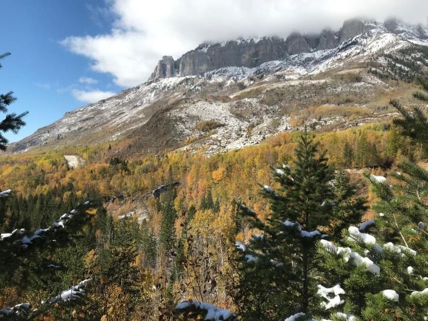
Parks unloaded concrete barricades in the spring or 2018 and rock boulders in the spring
       of 2019, but it has not stopped motorist from driving around them.

   •   Trail cameras have been utilized throughout the AMA that has led to current
       investigations.

Recommendations:

The Access Guardian will continue to patrol the area when it is most likely to have a high
number of non-compliance. Late afternoons and weekends during favorable weather would be
the most practical time to encounter motorized vehicles operating within the AMA. It would be
beneficial to organize patrols along the Alberta/BC border.

The AMCEP must continue to network and provide education to the Alberta Quad Squad
(Southern Alberta Rockies ATV club), Elk Valley Snowmobile/ATV Clubs, Cranbrook ATV Clubs
and Teck Coal Incorporated as they own the southern portion of the AMA as their Conservation
Land. The AMCEP must continue to use surveillance equipment to provide the Access Guardian
with valuable evidence used to prosecute violators.

                                                                                     Page 9 of 37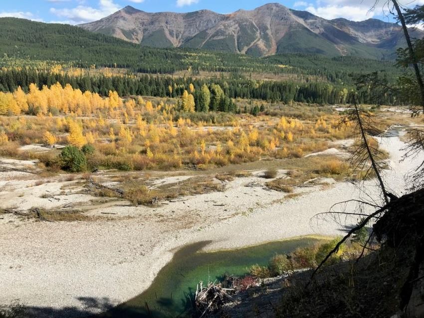
Barnes Lake

Table 7

   •   The Barnes Lake AMA is located within an alpine ecosystem. A multitude of alpine
       species can be found within this AMA. Lush vegetation including various wildflowers
       can be observed during the spring and summer months.

   •   The Barnes Lake AMA is situated in a remote area and can be accessed by ATVs and
       snowmobiles. To access the AMA riders must take a 40 minute ride departing from the
       Corbin Staging Area 5 Km’s south on the Flathead Forest Service Road to a turn off to
       the north. From there riders will reach a high basin, from this point on the roads are
       closed to motorized use, snowmobiles are exempted. From the closure it is a 30 minute
       hike to Barnes Lake. Barnes Lake offers some of the Kootenay’s best fishing
       opportunities for all ages.

   •   Unfortunately ATV’s are pushing their limits into the riparian ecosystem which results in
       more environmental damage. To deter motorized activities the Sparwood Fish and
       Wildlife Club has spent a considerable amount of volunteer time to ditch out the closed

                                                                                    Page 10 of 37
road. In time these ditches wear down making it easier for motorized vehicles to access
the closed area.
• The COS staff patrolled to Barnes Lake AMA twice during the summer. Old tracks were
found that did not indicate that much traffic was going into the lake. The AMA signs
were all posted.
Recommendations:
A kiosk indicating the distance and time to walk into Barnes Lake could be posted at the
entrance of the closed section. Also a Report All Poacher and Polluter (RAPP) sign would be
suitable at this location as well. Although there is no cell service at this point, concerned citizen
can file their reports at a later time. The Wildlife Branch is working on having a sign posted by
the spring 2020.
The COS would like the public’s assistance with reporting abuse in this AMA, as it is a pristine
mountain riparian area. Complaints forwarded to the RAPP line will aid the COS and Access
Guardian with planning an enforcement strategy. Information provided by the public such as
vehicle plate numbers and description of offending vehicles and operators allow the COS to
pursue enforcement action. The Access Guardian will stage at the trailhead and provide
information to trail users.
The main road up to Barnes AMA was opened up in the late spring for logging that has created
easier access for trucks. It is unknown when the road will be deactivated.
Page 11 of 37Chauncey Todhunter
Table 8
• Chauncey Todhunter AMA is northeast of Elkford heading towards the Fording Mine.
The AMA can easily be accessed by horseback, ATV, hiking or driving. This AMA is the
busiest during the elk and sheep hunting season. A number of public complaints were
reported of vehicles observed driving on closed roads within the AMA. Hunters that
obey the restrictions by hiking or horseback riding into the area have voiced their
frustration of observing people driving by them on the closed roads. It is very important
to record and report the vehicle licence plate numbers in order to allow the COS to
pursue charges.
• There is no entry from Alberta into this AMA. It was found that most motorized traffic
was from local BC residents. There were hunting camps that set up for weekly periods
that were checked during the hunting season. The local Outdoor Access Guide was
handed out at each camp.
Recommendations:
Numerous RAPP complaints regarding this AMA were forwarded to the COS. All complaints
forwarded to COS that included plate numbers were actioned. It would be beneficial to remind
Page 12 of 37Industry workers of the AMA boundaries and to educate workers on what information to gather
for enforcement purposes.
Due to the close proximity of the AMA, the COS also conducts patrols of the Teck Coal Inc.
Fording and Greenhills mines no hunting and trespass areas. The COS will also continue to
patrol the AMA during the winter months as snowmobilers continue to abuse the AMA.
Page 13 of 37Corbin
Table 9
• Michel Creek twists along the Corbin Road which makes it convenient for the COS to
check anglers while also verifying compliance within the AMA. There are many anglers
on this creek and some of them come from as far away as the USA, United Kingdom, and
Europe.
• Many camps set up and park along Michel Creek on the opposite side of the AMA. The
Access Guardian provided information regarding the AMA and handed out the Outdoor
Access Guide to the campers. Campers were reminded to report any motorized
activities within the closure to the toll free 24 hour RAPP line.
• The Tent Mountain road located at the south end of the AMA is open to motorized use
and is frequently used by ATVs traveling from Alberta into BC.
• Logging operations continue to operate within the AMA. Due to the high volume of
industrial logging traffic it has been difficult to differentiate between unpermitted and
permitted vehicle use within the AMA. Workers have permits they are legally required
to display in the window of their vehicles. The Access Guardian provided education to a
number of contractors working in the area.
Page 14 of 37Recommendations:
Recreation camps with visible ATV’s near Michel Creek will continue to be checked and
educated.
The public is encouraged to report violations to help the COS as there are a number of gates
that are left unlocked or open (South and North Loop Road).
Logging and mine exploration has been and will continue to be active in the area and with this
there will be more eyes and ears out there to witness and report violations.
Page 15 of 37East Flathead
Table 10
• The East Flathead is one of the most remote AMA’s to patrol from Fernie. It is a
recreational haven for the outdoors enthusiasts. There are three different public access
points into the East Flathead AMA; from Corbin, Morrissey and Ram/Cabin Rd.
• The East Flathead seems to have a steady flow of recreational users year round and
becomes busier every year. There are open roads for snowmobilers and back country
skiers to utilize during the winter and during the spring, summer and fall the traffic
continues for camping, fishing, hiking and hunting.
• There are a number of BC Forest Recreation Sites within the AMA that are beautiful
areas to camp in but the public is reminded that they are not entitled to leave a camp
set at a Forest Recreation Site for more than two weeks. Many of these sites such as
Proctor Lake have been abused with litter and vandalism.
• Middle Kootenay Pass is one of the most utilized illegal entrance routes that are
accessed by Alberta residents into BC, and visa-versa. Alberta is shutting down the
motorized activity at Castle Mountain which will help protect the BC/Alberta summit of
middle pass that has been highly abused.
Page 16 of 37• Guide Outfitters, Assistant Guides, Trappers and local members of the communities in
the Elk Valley frequent this area almost weekly. The COS will continue to patrol and
educate along the south end of the East Flathead.
Recommendations:
The use of a drone could be utilized next summer during a weekend with nice weather to see if
there is any non-compliance.
A yearly focused project in the summer or fall in the East Flathead AMA will continue to be
conducted by the East Kootenay COS.
Logging will continue into the spring of 2020 and the logging companies have agreed to
deactivate all new roads created within the AMA.
Page 17 of 37Galton Range
Table 11
• November is the busiest month for hunters in the Galton Range AMA which borders
Hwy 93 on the East side of the highway and South of the Elk River. This AMA includes
twelve mountain drainages with access into six of them. The archery season ends in
December and it is also a popular area for hunters as it is a migration route for deer.
Mule deer (4pt) goes until November 10th and then an LEH sheep hunt is open until
November 20th and the season for whitetail deer (bucks) continues till the end of
November.
Recommendations:
The broken gate to Rabbit Lake/Upper Wigwam AMA in Phillips Pass still needs to be fixed.
Locks are continuously being cut in the southern Galton Range.
Page 18 of 37Grave Prairie
Table 12
• Grave Prairie was patrolled numerous times every month throughout the year by the
COS as it is a critical and extremely valuable winter range for wildlife. It continues to be
the busiest AMA for recreationists year round (especially during the bow elk and deer
seasons).
• The Elk River was also checked for anglers during the Grave Prairie patrols. During those
checks violation tickets were written for people fishing without a licence and fishing
with prohibited gear.
• The Sparwood Fish and Wildlife Club continue to manage the Grave Lake Campground.
This campground is family oriented and has been cleaned up over the years. This AMA
has improved with compliance as the camping is more appealing and AMA enforcement
has been strong in the last 8 years.
• In the past signs in the Grave Prairie AMA have been removed and damaged. In 2019
only a couple signs were removed in the same area (side road off Harmer Road).
Page 19 of 37Recommendations:
The Access Guardian will conduct patrols and monitor the campers and motorized activity
during the May Long Weekend. The Access Guardian and Teck Coal Inc. will continue to
improve the AMA’s compliance. Teck has done an excellent job by locking gates, ditching roads
and posting signage in this area. They are the land owner along with the Nature Trust for Grave
Prairie AMA.
Page 20 of 37Sheep Mountain
Table 13
• The Sheep Mountain AMA does not fall within Electoral Area “A”, but was approved to
be patrolled as part of the AMCEP.
• Sheep Mountain AMA is primarily patrolled during the late October and November deer
hunting season.
• Sheep Mountain has a large area of sensitive grasslands that elk and deer rely on for
year round feed. These grasslands do not recover as easily as other rugged habitats.
Motorized vehicle tracks are seen driving off the main open roads and onto the
grasslands. There are signs posted on the closed roads which have not been damaged.
• There is a dirt bike park on the Northeast corner of the AMA that still needs to be
monitored.
Recommendations:
Due to noncompliance, CO’s should focus on the South end of Sheep Mountain.
Page 21 of 37The boundaries should be amended to exclude the dirt bike course located in the Northeast
corner of the AMA. This regulatory recommendation should be forwarded to the Ecosystem
biologist before the next regulation update (2020 regulation changed).
Patrols will continue to be conducted in the winter months as snow bikes are becoming a bigger
concern in this AMA.
Page 22 of 37Upper Elk Valley-Fording
Table 14
• The Upper Elk Valley-Fording AMA is a heavily used AMA throughout the summer and
early fall months. It receives motorized traffic from the local communities and people
from throughout Canada and the United States.
• The Upper Elk Valley Road starts in Elkford ending at the Elk Lakes Provincial Park.
Height of the Rockies Provincial Park also borders the AMA to the West. Hikers,
campers, bikers, anglers, hunter and ATV’s all thrive to enjoy the beautiful views of the
Upper Elk Valley.
• The Big Weary Ridge Trail is open on the East side from July 1-Aug 31. The Elkford ATV
Club has been maintaining the trail and removing garbage. The Elkford ATV club
members are knowledgeable of the AMA’s within the Elk Valley. The Elkford ATV club
has volunteered to provide AMA awareness to other ATV users using the online BC/ATV
website.
• The Weary Creek Provincial recreation site and the Aldridge Creek Provincial recreation
trails are both closed to motorized traffic and are maintained by the Hornaday
Wilderness Society. The Hornaday Wilderness Society will continue to maintain the trails
for horseback, biking and hiking use.
Page 23 of 37Recommendations:
This AMA does not receive a high volume of complaints via the RAPP line. Although complaints
are low patrols should focus on the late summer and fall season for anglers and hunters.
It has been reported that younger ATV operators have been damaging portions of the Elk River
Forest Service Road. In order to lawfully ATV on a Forest Service Road operators must be 16
years and older, wear an approved helmet, have registration, purchase $200,000 third party
liability insurance and possess a valid driver’s licence. Conservation Officers patrolled the Elk
River Forest Service Road and provided education regarding current ORV regulations and safety
tips.
CO’s also enforces the BC Recreation Sites and Trails regulation which means they will be
enforcing any non-compliance within the Recreation Campgrounds (camper over staying their
14 day visit to the recreation campground).
Page 24 of 37Upper Flathead
Table 15
• This AMA is remote and takes a full day to gain access by vehicle.
• This AMA is open for snowmobiling in the winter.
• The CO’s patrolled from the McIvoy FSR to the Flathead FSR in the Upper Flathead AMA
where they encountered a couple hunters and contractor, one was on an ATV. The new
gates that were built after the 2017 fires have helped restrict access on the closed
roads.
Recommendations:
Conducting patrols during the hunting season would allow officers to educate hunters
regarding the Upper Flathead AMA. ATV patrols conducted from the North of the AMA would
allow for easier access to the Shoefly Road. In 2020 there should be an increase in patrols to the
Barnes Meadow area (reports of motorized abuse).
Page 25 of 37Upper Wigwam
Table 16
• Anglers from around the world enjoy fishing the Wigwam River. It provides world class
bull trout angling. Currently the Wigwam has no bull trout retention and is a classified
river. It has been reported to the COS that some anglers are retaining bull trout and
using prohibited methods to catch fish.
• The Ram Creek FSR is open to motorized vehicles but allows access to many closed
roads and trails. This AMA has very steep terrain leading to the Wigwam River. To access
the river most anglers hike the steep terrain. In some cases anglers that are not willing
to hike will drive around gates to access the Wigwam River.
• The locked gate over the Wigwam River, near the mouth of Ram Creek and the gate on
the East Side show signs of vehicles driving around and in to the closure.
• The lock on the gate situated at the Rabbit Creek road has been purposely broken
multiple times allowing access in to the closure. The locks frequently are vandalized
during the hunting season. Vehicles are accessing the Rabbit Creek gate through Phillips
Pass from the Galton AMA.
Page 26 of 37Recommendations:
More focus on educating anglers regarding the AMA boundaries should be continued.
All gates with locks within this AMA must be inspected regularly.
Patrols within this AMA should be completed during peak angling periods. Anglers tend to favor
this area during the hotter periods of the year in late August.
Two Forest Recreation Site are located adjacent the Wigwam River and is a suitable location to
educate the public.
Page 27 of 37Weigert Creek
Table 17
• Weigert Creek AMA is utilized by horseback riders, hikers, hunters and 4X4
recreationists.
• Only the lower half of the AMA can be accessed by truck, the other two trails are
accessed by ATV or small trackers. Travel to this AMA can also be accessed from
Elkford. It is hard to ascertain if motorists are illegally in the AMA without patrolling to
the southwest portion of the AMA.
• There are dedicated members of the public that frequently use this AMA and will report
any violations they see occurring to the COS or RAPP.
• Snowmobiles are exempt in the AMA during the winter.
Recommendations:
A new Weigert Creek AMA map is needed at the entrance onto the main road from Hwy 43.
This is planned to be posted by the Habitat staff for 2020.
Page 28 of 37Wigwam Flats
Table 18
• Wigwam Flats has breathtaking views of the China Wall on the South end of the AMA.
Mount Broadwood on the North end is a caver’s paradise. Wigwam Flats is probably
one of BC’s most valuable winter ranges and has almost every species of wildlife that
you can view in one given area. The Wigwam River offers amazing fishing opportunities
to the fly fisherman. Silver Springs are three turquoise lakes that connect to one
another which offer a beautiful 15-30 minute hike. Unfortunately, Silver Springs has
turned into a party site for people who like to leave their garbage behind for animals
and other people to pick up.
• Wigwam Flats is a sensitive area for wildlife and its habitat. Invasive plants have taken
over in some of the areas and are hard to control. Invasive Plant specialists have
advised that motor vehicles have spread the invasive plants to other parts of this AMA.
• This area has also become more popular for the mountain bike community. Although
mountain bikers are allowed in this area when motor vehicles are not; it is
recommended that they stay on the main trails as mountain bike tires too can spread
invasive plants. It is illegal to harass wildlife with a motor vehicle and for dogs to chase
wildlife. It is recommended for dogs to be on leash in this area.
Page 29 of 37• The Fernie Rod and Gun Club have spent many volunteer hours controlling invasive
species within this AMA in the past by hand picking the invasive plants.
• The Wildlife Branch had the area sprayed for invasive plant species (hawk week, st johns
wart) in October.
• Motorists are using the pipeline to gain access to the AMA.
• When the gates are closed hunters and anglers use alternative methods such as
mountain bikes to access roads beyond the gates.
• E-bikes are being utilized in this area and will be charged under the WLA if they are
operating on a non-motorized road.
Recommendations:
The Access Guardian will continue to conduct day patrols during any time of the week in 2019.
It would be best to do most ATV patrols during the open seasonal roads on June 15-July15
where people go off the main open roads; users such as ATV riders, kayakers, anglers, campers
etc.
The maps at the entrances of the seasonal open roads eventually need to be updated. They are
fading and peeling off. The message seemed to have spread throughout the area for the closed
section between Rocky Ridge Road and the Wigwam Road.
Page 30 of 37Education/Outreach
In the spring of 2019 the Access Guardian attended Municipal Mayor/Council and RDEK
meetings for a review of the program and presented a short power point presentation showing
the charts and pictures of the AMA’s. Education and outreach is always a top priority within the
program. One of the main educational tools that The Access Guardian uses while in the field is
the Outdoor Access Guide (OAG). The OAG has the support from the Municipalities, Industry
and the public. 2500 copies of the OAG were printed in time for the 2019 hunting season and
was paid for by Sparwood Fish and Wildlife Association, Elkford Rod and Gun Club and the BC
Chapter of the Backcountry Hunters and Anglers Club. The free guide for the public was
traditionally picked up at the Cranbrook Ministry of Environment Office, AB Quad Squad Office,
Elko Gas Station, Elk Valley Chamber/Tourism Offices, Service BC in Sparwood and Fernie,
Grasmere and Jaffray. Volunteers from the clubs that paid for the magazine also distributed
them throughout the Elk Valley giving the local CO’s more time to focus on file work/call outs.
There are plans for a new Outdoor Access Guide for 2020 which is mentioned below. Since it
was created in 2013 the Outdoor Access Guide has been very useful for hunters and other
recreational users.
• The Access Guardian continued communication with the Ecosystem Biologist
throughout the year. The COS and local recreation club members will help post AMA
signage.
• Another way to provide education to the public was to have face to face outreach
presentations. The Access Guardian conducted slide show presentations on the AMA’s
to a number of community groups. The following is a list of the presentations she took
part in: Fernie, Elkford and Sparwood Mayor and Council Members, Sparwood Fish and
Wildlife Association and the Elkford Rod and Gun Club. During these presentations the
Access Guardian had the opportunity to answer questions and meet a number of people
that wanted to discuss their AMA concerns.
• An Iphone Application called PDF Maps is available to the public and can be used with
the Access Management Maps from the BC Government online site. This smart phone
application is user friendly but is no longer free. The Access Guardian uses the
application when located in an AMA. A blue indicator shows if you are within the AMA
and no cell service is needed. Open and closed roads, along with the different AMA
boundaries are all incorporated into the program. All COS in the East Kootenay’s have
these maps on their Iphones. The public can find instructions on how to download the
maps at: http://www.env.gov.bc.ca/kootenay/eco/access.htm
The public can contact The Access Guardian if they are having trouble downloading the
maps.
• One new concern that the COS will be dealing with from now on is the use of pedal
assisted mountain bikes. The pedal assisted bikes have an electric or gas motor that can
be turned on and off on a mountain bike. It has been determined that it is illegal for the
Page 31 of 37pedal assisted bikes to be in a closed non-motorized area. The legislation under the
Wildlife Act states that it is illegal to use or operate a motorized vehicle in a prohibited
area. The word use is what makes the bike illegal. If the bike has a motor attached to it
whether or not it is in use it is not permitted within motorized vehicle closures. The
legislation will be updated to include the wording of pedal assisted bikes within the BC
Wildlife Act.
• The Access Guardian worked with the BC Chapter of Backcountry Hunters and Anglers
Club based out of the East Kootenay’s regarding fundraising efforts towards the 2019
issue of the OAG. The club presented to the RDEK electoral areas and the Municipalities
of Fernie, Sparwood, Elkford and Cranbrook asking for funding towards the new OAG
magazine in 2019. The club and FLNRO’s Habitat Biologist have spent countless hours
working on this project and it is appreciated that they are taking the leadership on
developing the new OAG edition. They want to add the Cranbrook area AMA’s (the
trench) into the magazine and update the maps for better clarity. The presentations
were well received and the funding goal of $10,000 was met. It is anticipated that the
new magazine will be ready for the fall of 2020 once the new regulation changes have
been updated on the AMA maps.
The 2019 Outdoor Access Guide was purchased by the Sparwood Fish and Wildlife Association,
Elkford Rod and Gun Club and BC Chapter of Backcountry Hunters and Anglers.
Page 32 of 37Other Work Projects
In addition to the Access Guardian’s regular duties and responsibilities, there are a number of
focused enforcement projects that the COS organize and conduct every year. The following is a
breakdown of the different work projects that The Access Guardian took part in 2019.
• Since 2015 the Conservation Officer Service has been mandated with enforcing the Off
Road Vehicle Act (ORVA). During the winter of 2018-19 the East Kootenay COS patrolled
crown land, Forest Service Roads and snowmobile staging areas to conduct compliance
checks. There continues to be a high noncompliance rate with snowmobilers for not
having their snow machines registered and not having a plate displayed ($173-$230).
Corbin, Wigwam Flats, East Flathead and Galton AMA’s are the most utilized AMA’s for
illegal snowmobile use. Other AMA’s have exemptions for snowmobile use.
• The Fernie COS met with the Fernie Snowmobile Associations (FSA) and has provided
AMA information to the club and will continue the communication on what the
requirements are while snowmobiling in an AMA and what they need for the ORVA and
regulations.
• There are a number of motorized closures in the East Kootenay’s for the purpose of
protecting caribou. CO Burley took part in a project north of Cranbrook in March to
patrol for snowmobilers that have been accessing these closures. Patrols were
conducted by helicopter, truck and snowmobile.
• Currently BC’s waters are free of aquatic invasive species and we want to keep it that
way. Inspection stations across BC have been strategically placed to stop motorist with
vessels to inspect, decontaminate and educate under the Wildlife Act and Controlled
Alien Species Regulation 94/2009. The inspection stations are open from April-
November. COS responded to calls of motorist who failed to stop for the inspection
stations. Motto; “Clean, Drain and Dry”.
• In September of 2019 COS and the Canada Wildlife Service (CWS) conducted a 3 day
road check within the Elk Valley. The COS and CWS inspected over a hundred vehicles.
The area we selected incorporated Sheep Mountain AMA.
• The Access Guardian, CO Gordon and Inspector Caravetta marched in the Fernie
Remembrance Day Parade and Ceremony on November 11th.
Page 33 of 372020 Recommendations
• AMA outreach and education will be ongoing throughout 2020. The Fernie CO’s will
book presentations with the Elk Valley High Schools before the May long weekend.
• Trail cameras and drones have proven to be useful tools to catch non-compliance within
the AMA’s. The program has a total of three trail cameras that the Access Guardian
utilizes every year. The Drone has been used in several of the East Kootenay AMA’s. It
allows Officers to have an aerial view to determine non-compliance, areas of concern or
an offence in progress. Prior to having access to the Drone the only way to achieve this
was through the use of helicopters which are costly. One of the five Provincial CO Drone
Operators are in Fernie; CO Gordon.
Summary
The Access Management Compliance and Enforcement Program (AMCEP) is the only program
of its kind in all of British Columbia. It is a successful example of what the COS in partnership
with Regional Districts and community members can do to ensure British Columbian’s
resources are kept sustainable for future generations. The AMCEP achieved over 800 hours of
committed AMA patrols, compliance and enforcement checks, investigations and
education/outreach in 2019 despite an increase in COS core mandate related work. The
general public has well received the AMCEP and expressed positive feedback. Regular meetings
held with stakeholders, municipalities, and recreationists prove to be of high value and
provided meaningful insight and direction to the AMCEP. The East Kootenay region offers its
inhabitants and visitors a vast opportunity of recreational experiences while submerged in the
beauty of the Canadian Rockies. The Access Guardian will continue to work with the public and
user groups to ensure that these cherished opportunities are available for future users.
Page 34 of 37Appendix
Alexander AMA: Deadman’s Pass
Page 35 of 37East Flathead AMA: Proctor Lake
Alexander AMA: Phillips Lake
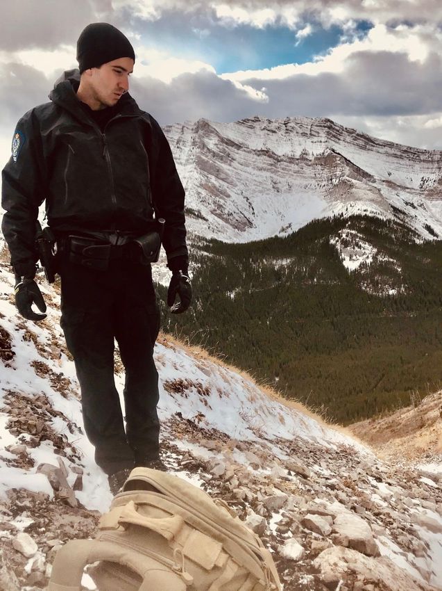
Page 36 of 37East Flathead AMA
Grave Prairie AMA
Page 37 of 37You can also read