INTEGRATED 2012-2042 - NZTA
←
→
Page content transcription
If your browser does not render page correctly, please read the page content below
ROTORUA
I N T E G R AT E D
NETWORK
S T R AT E G Y
2012-2042

                     May 2013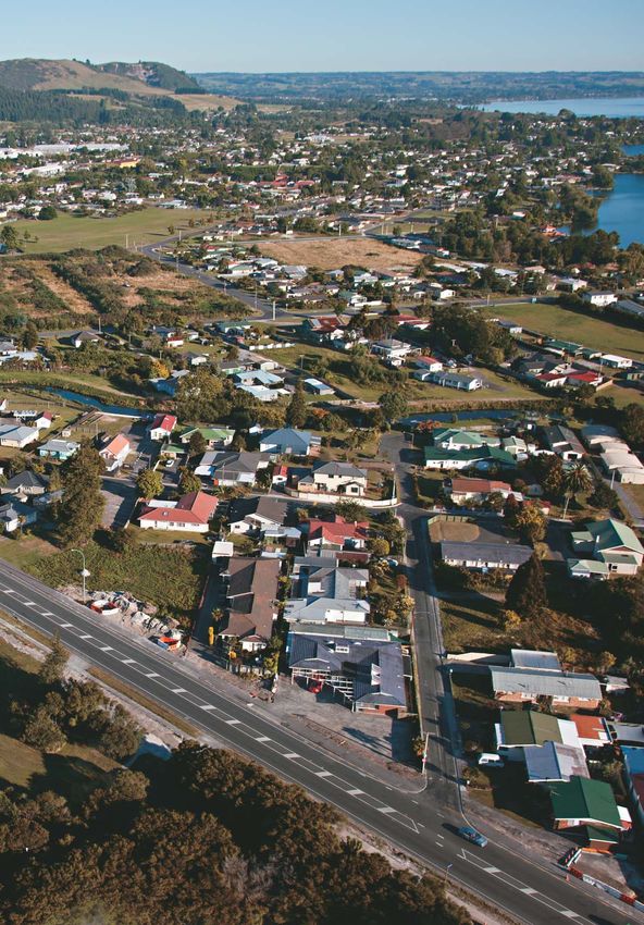
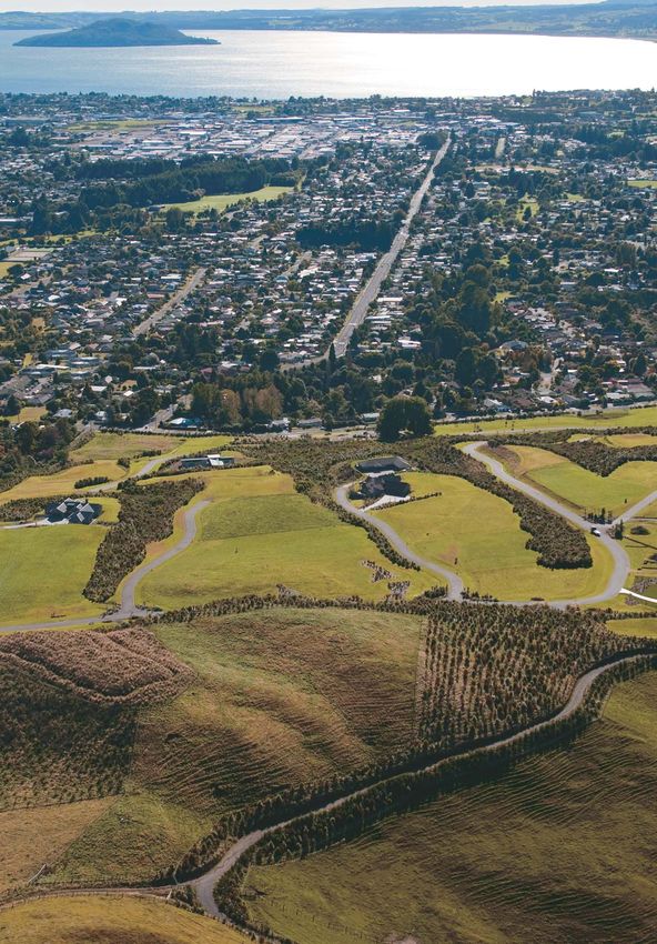
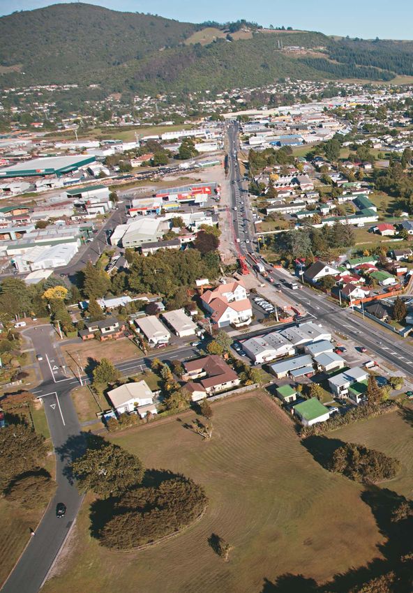
This photo provided by RDC
Cover photos provided by RDC and BOPRC
Contents                                                  Page
Context          Purpose                                     1
                 Outcomes Sought                             2
                 Upper North Island Connections              3
                 Rotorua’s District Connections              4

Issues for the   Integration - Land Use and People           5
Strategy to
Address          City Centre Vitality                        6
                 Public Transport, Walking and Cycling       7
                 Freight                                     8
                 Safety                                      9
                 Traffic Flows and Network Performance      10

Outcomes and     Desired Corridor Functions                 11
Interventions
                 Outcomes and Interventions by Corridor     12
                 An Optimised Transport System              13

Implementation   Effective Delivery                         14
                 Rotorua Eastern Corridor Package           15
                 Rotorua Urban Network Package              16
                 Rotorua Western Corridor Package           17
                 Rotorua Southern Corridor                  17
                 Monitoring                                 18
                 Glossary of Terms                          18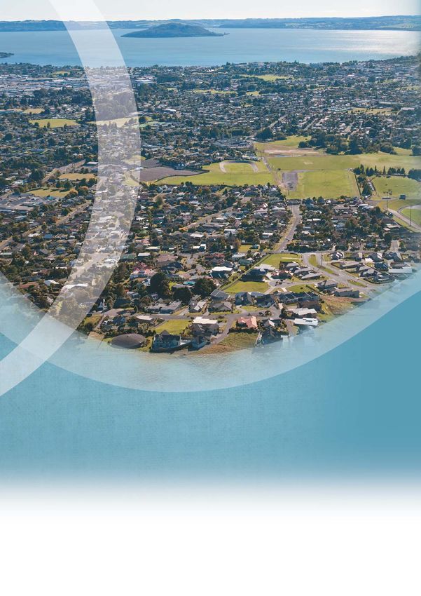
Rotorua Integrated Network Strategy
          Purpose
          The purpose of the Rotorua Integrated Network Strategy (RINS) is to guide and
          inform land transport programmes and future growth management planning.
          This strategy will ensure that investment in the transport network is appropriately
          directed and help determine funding priority.
          The Strategy:                                            Opportunities for Rotorua’s
            Defines the role of the Rotorua transport network
            and its contribution to the Upper North Island         transport system are mainly
            and New Zealand as a whole.                            related to economic growth
            Identifies the shape and form of the Rotorua
            transport network into the near future, identifying
                                                                   and economic drivers -
            deficiencies and improvements.                         tourism and primary industry.
            Supports and informs Rotorua District Council's
            District Plan with particular regard to supporting     Opportunities include:
            long-term economic drivers that underlie the            Encouraging people into the city centre.
            district’s growth.                                      Well planned integrated networks that meet
            Guides better integration of land use and transport     demands while ensuring land use is
            planning to achieve a safe, efficient and affordable    appropriate.
            transport system that supports economic and
                                                                    Using structure planning and the District Plan
            environmental outcomes for the district.
                                                                    to support economic growth and optimise use
            Ensures the transport system provides for a range       and development of infrastructure.
            of travel choices and is developed in a way that        Improving important freight routes.
            makes best use of the existing network.
                                                                    Protecting the rail corridor for future
                                                                    transport use.
                                                                    Encouraging use of alternative modes of
                                                                    transport.
                                                                    Developing the National Cycleway
                                                                    (Te Ara Ahi).

            Photo supplied by BOPRC
Context

                                                                                                                     1
Outcomes Sought
    The objective for the Rotorua Integrated Network Strategy is to support economic
    growth, safety and accessibility with an affordable, integrated, safe, responsive,
    and sustainable land transport system.

    It’s all about outcomes                                Rotorua is a key transport node in the central and
                                                           upper north island. Key routes connect primary
    The objective is derived from the outcomes             industry with the Port of Tauranga and provide tourism
    sought at national, regional and local levels.         links to Taupo, the Waikato and Auckland.
    In broad terms, the outcomes that RINS                 Rotorua Airport is regionally significant and serves
    contributes to are:                                    domestic and international flights. Key regional links
                                                           include:
     Integration     land use and
                     transport                               SH30 to the Eastern Bay of Plenty
                                                             SH5 to Taupo
                     efficiency and
     Prosperity      economic growth                         SH5 to Waikato and further north to Auckland
                                                             SH36 to Tauranga
     Safety
                                                             SH33 to Te Puke and Tauranga
                                                             SH30 to Te Kuiti
     Accessibility
                                                             The need for integration arises from the complex
     Environmental Sustainability                            inter-relationships between land use activities
                                                             and the transport systems that serve them.
    These symbols are used throughout this
                                                                                   DEVELOPMENT
    document to represent and highlight the
    outcomes sought. Larger symbols are used                                         LAND USE
    to illustrate where one outcome is locally more
                                                                       INFLUENCE

                                                                                                 DEMAND

    important than others.
                                                                                     EFFECTS
    RINS provides direction for future investment in the                             IMPACTS
    transport network that is consistent with NZTA’s,
    RDC’s and BOPRC’s statutory obligations and
    functions. The strategy is consistent with, and                       TRANSPORT NETWORK
    supports, the implementation of national, regional
    and local level policies, strategies and plans. The                            DEVELOPMENT
                                                                                                                    Context - Strategic
    legislation that directs RINS includes:
                                                             Development increases demand for travel and
      Land Transport Management Act (LTMA)
                                                             transport.
      Resource Management Act (RMA)
                                                             Access constraints can restrict or adversely
      Local Government Act (LGA)                             influence development.
    RINS covers the entire transport network of the          Choosing the right place for development can
    Rotorua District, which is part of both the Waikato      avoid conflict and reduce
                                                                                 educe the need for additional
    and Bay of Plenty Regions. It aligns with the Bay of     infrastructure.
    Plenty Regional Land Transport Strategy and is
    consistent with the Waikato Regional Land Transport
    Strategy.

2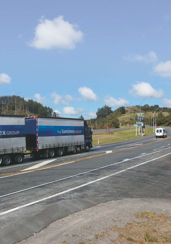
Upper North Island Connections
The primary drivers for economic activity and economic growth in Rotorua are
freight and tourism. Rotorua’s strategic transport corridors provide connections
to freight and tourism centres in the Upper North Island, such as Tauranga and
Auckland. They also link employment, production markets and tourism destinations
in the Waikato and the Bay of Plenty.
Heavy Vehicles/day Freight Connections
(ADT) (NZTA, 2011) The SH30/33 corridor to Tauranga carries
the majority of the freight from and passing
through Rotorua to the Port of Tauranga. The
Hamilton development of the Tauranga Eastern Link
may make the SH33 route more attractive.
Cambridge
SH30 carries approximately 1200 heavy
vehicles daily. In some sections, SH5 carries
over 1600 heavy vehicles daily.
20 Kilometres
A Kawerau Private forestry roads carry some of the local
forestry harvesting traffic and can form part
of the high productivity motor vehicle network.
The internal freight volumes for the Bay of
10
Plenty are dominated by logs and timber
0
products (44%), followed by aggregate (22%)
KEY
0-200hv/day and dairy products (13%).
200-500hv/day
500-1000hv/day Logs and timber products, horticulture and
1000-1500hv/day
aggregate are expected to have substantial
Context - Key Connections
1500hv/day
increases by 2031.
International Tourists Tourism Flows
by Road (million/year) Rotorua is the third most visited destination
(DTE, 2005) in New Zealand. In 2010 there were
3.2 million visitor arrivals to Rotorua, who
Hamilton are collectively estimated to have spent
$551 million during their stay.
Cambridge
SH5 carries more than one million
international tourists each year north of
20 Kilometres
Rotorua and over half a million international
A Kawerau tourists between Rotorua and Taupo.
SH5 is promoted as part of the Thermal
Explorer tourist route. SH38 is promoted as
10
the Rain Forest highway.
0
As well as large volumes of independent
KEY travellers, inter-city and tour coaches bring
0 - 0.25M/yr
0.25r - 0.5M/yr
tourists. Passengers on Tauranga’s cruise
0.5 - 0.75M/yr ships visit Rotorua by coach via SH36 and
0.75 - 1M/yr SH33.
1-1.5M/yr
The dominant flows for international visitors
are southbound, flying out from Rotorua or
further south, or returning north via roads
further west.
3
Rotorua’s District Connections
Rotorua’s connections with the upper North Island overlap with the district’s and
city’s transport needs. The regional movement functions share transport corridors
with local movement and access demands. This can result in competing demands
and conflict.
Rotorua Western Corridor
Rotorua’s Western Corridor runs along SH5 Old Taupo Road, Fairy Springs Road and Ngongotaha Straight.
Recent upgrades have substantially resolved congestion issues. Local road intersections and industrial
access can face delays at peak periods. The main issues result from conflict between high through traffic
flows interacting with local traffic, access and crossing demands.
Rotorua Eastern
Corridor
Ngongotaha The Eastern Corridor links
Road
connections through and to
Rotorua using SH30 and Te
Rotor
Ngae Road. Existing and
ua We
proposed land use in the
stern
dor
eastern corridor area
orri
Corrid
includes industrial,
nC
ake Rotorua
Lake
ster
or
commercial and residential
a Ea
development. It links to
oru
Fairy
Rot
Springs
Road Rotorua International Airport
Lake Road and tourist attractions.
In the urban area the through
function overlaps with local
Context - Key Connections
access for residential,
Te Ngae Road
A employment and tourist
Rotorua
Old Taupo Urban Area activities.
Road
Frontage activities include
Sala Street
residential and commercial
activities, leading to side
3 Kilometres
friction and conflict.
dor
Roto
Whakarewarewa
orri
Recreation Area
rua S
The existing SH30 Te Ngae
nC
her
outh
Road is a barrier between
out
ern C
aS
local community services,
2
or u
orrid
education and residential
Rot
or
areas.
1
0
Rotorua Southern Corridor Rotorua Urban Area
The Southern Corridor links between primary SH30A Amohau Street is the most direct state
production areas in the central North Island and highway cross-city connection but is subject to traffic
processing and transport centres in the Bay of signals to manage north/south conflicts and access
Plenty and north. It is an important continuation of demands. Other corridors include Lake Road and
the popular Thermal Explorer Highway and links to SH30 Sala Street.
local and national tourist attractions such as Its functions include carrying traffic between the
Whakarewarewa and Te Ara Ahi. eastern and western corridors, access to the tourist
There is limited demand for access for residential destinations and services, and the city centre.
and employment areas, so there is little conflict. No
significant land use changes are expected.
4
Integration - Land Use and People
                           Integrated Land Use Planning
                           Rotorua’s planning framework targets prosperity and improved lake water quality.
                                                                                                    A combination of population growth, households
                              Growth expected to 2021 (approx)                                      comprising fewer people and growth in tourism means
                                    200 HH              200 HH              EASTERN                 that Rotorua needs more residential space.
                             NORTHERN                                       LAKES
                                                                                                    The key land use issues are:
                                                                                    200 HH
                                                        HAMURANA                                      Managing runoff to the lakes through changing
                                                                                                      land use and infrastructure
                                                                                                      Unplanned land use changes and impacts on
                             NGONGOTAHA
                             40 Jobs                                                                  infrastructure
                                              300 HH                         ROTOKAWA                 Redistribution of growth and managing the risks
                                                                                        H
                                                                                   100 HH             of slower or faster growth
                                                                                       b
                                                                                1000 jobs           The Rotorua Basin Structure Plan is for the majority
                                                                                                    of development to occur in the Eastern Suburbs, with
                                                                        EASTERN                     modest growth in the city centre, and gradual growth
                                     CITY
                                       TY                               SUBURBS
                                            1200 jobs                              1800 Jobs        in the rural areas north of Hamurana in the medium
                                                                                                    to long term.
                                                     10 HH
                                                     1000                                           Rotorua has a high proportion of tourism-related
                                                                                                    employment such as in accommodation, retail and
                                                                       1800 HH
                                                                                                    food services. There are opportunities in research
                                                                                                    and in geothermal-related tourism and industry.
                                                                                                    Employment growth is expected to take place in the
                                                                                                    eastern suburbs. This complements existing
                                     (HH)                                                           commercial and industrial development.
                                    House     Jobs                    LAKESIDE 100 HH
Issues and Opportunities

                                    Holds                             SETTLEMENTS                   Employment growth in the east would have convenient
                                                                                                    connection to the Eastern Corridor and be in close
                           Projected Population                                                     proximity to the planned residential growth.
                           People                                                                   Rotorua is planning for growth slightly higher than
                           85,000    Shaded area shows range of
                                     Statistics NZ Medium and High                                  Statistics NZ medium projections. The assumptions
                                     population forecasts to 2031
                           80,000                                                                   will be reviewed when census information is updated.
                                                                                                    The average number of people in Rotorua households
                           75,000                                                                   is expected to drop, so more houses will be needed
                                                                                                    for the same population.
                           70,000

                                                                                                      OUTCOMES SOUGHT
                           65,000
                                                             Grey line shows Rotorua District’s         Integrated land use and
                                                           Population Medium Growth Forecast            transport planning
                           60,000
                           Year 2006     2011     2016     2021      20
                                                                     2026   2031     2036    2041
                                                                                                        Improved lake water quality
                                                                                                        Prosperity
                                                                                                        Strong town centre

                                                                                                                                                           5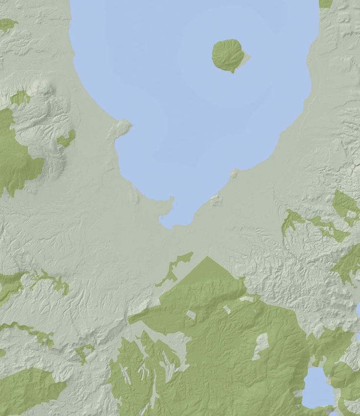
City Centre Vitality
    Revitalising the city centre is important for a prosperous and sustainable Rotorua.
    Rotorua’s city centre is the focus of commercial and cultural activity. Revitalising the city centre
    is an important resource management consideration for the district. The city centre is Rotorua’s
    premier location for commercial activity, office-based administration, speciality retail, dining and
    tourist accommodation.
    Rotorua is an important tourist centre; the third most visited in New Zealand. Improving links to
    the city centre provides opportunities for the tourism sector. Access is fundamental to economic
    growth in terms of tourism and employment opportunities. Encouraging development within the
    city centre complements transport planning by reducing the need for travel, supporting walking,
    cycling and public transport and therefore reducing demand on the existing surrounding networks.

                                                           Objectives for intensifying the
                                                           city centre include:
                                                               Intensified activity, including new tourist
                                                               and residential accommodation
                                                               Well-defined boundaries
                                                               Pedestrian focus
                                                               Safe public spaces

                                                           Rotorua’s transport network needs to be able
                                                           to accommodate and manage the competing
                                                           demands for access to the city centre and

                                                                                                                 Issues and Opportunities
                                                           efficient cross-city connectivity for all modes.
                                                           Amohau Street, the current state highway corridor
                                                           and main cross-city connection, faces a
                                                           combination of increased demands for
                                                           development and access, high volumes of
                                                           through traffic and increasing pedestrian activity.
                                                           This has led to increasing congestion and the
                                                           potential for crashes.
        Photo supplied by Destination Rotorua Marketing    Managing these development pressures and
                                                           conflicts on the current corridor may constrain
    CBD Revitalisation Strategy                            growth or result in development pressures
                                                           elsewhere. Supporting city centre vitality requires
    A busy and successful city centre need requires safe
                                                           careful management or an alternative corridor
    and effective connections between markets.
                                                           to reduce or avoid the potential for conflict.
    The Rotorua District CBD Revitalisation Strategy
    includes an Urban Design Framework, improving
    pedestrian links between the lake front, city centre   OUTCOMES SOUGHT
    and Rotorua Central, and the redevelopment of            Prosperous and accessible city
    buildings on Tutanekai Street to improve safety and      centre for residents and visitors
    accessibility.
                                                             Reduced conflict between cross-
                                                             city movements and access

6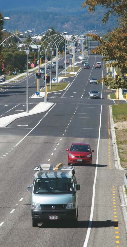
Public Transport, Walking and Cycling
Improved Accessibility
Rotorua’s urban area is compact, relatively flat and suitable for walking and cycling.
The urban bus service has demonstrated strong growth in patronage.
Rotorua is home to world class mountain biking trails within Whakarewarewa Forest.
Te Ara Ahi is a 74km long section of the national cycleway. It links Rotorua to
the Waikato River.
Rotorua is a popular tourist destination and the Rotorua Bus Service (annual patronage)
attractions include Lake Rotorua, Whakarewarewa 900,000
800,000
Forest and Te Ara Ahi. Rotorua strives for an accessible
700,000
city centre with good pedestrian linkages between 600,000
attractions, facilities and public transport. 500,000
400,000
There is increasing demand for transfer and terminal 300,000
321,773
412,591
470,601
525,521
649,955
715,494
791,567
facilities for urban, regional and intercity/tourist 200,000
100,000
coach services. The existing terminal for inter-regional, 0
05
07
08
09
10
11
06
tourist and taxi operators is operating near full
/
/
/
/
/
/
/
04
06
07
08
09
10
05
20
20
20
20
20
20
20
capacity. Local buses use an on-street facility with
bus shelters. There is an opportunity to improve and The main local, inter-regional and tourist bus and
increase capacity of the Rotorua Public Transport coach facilities should be located in the same place
Centre and local end of journey facilities. to encourage cross-patronage and transfers.
Rotorua hosts a number of cultural, sporting and Developing connections for walking and cycling
conference events. Many outdoor events focus on between the city centre, the lake, Whakarewarewa
cycling, mountain biking or walking around the lakes Forest and public transport facilities can contribute
and forests. positively to accessibility for locals and tourists.
Issues and Opportunities
Photo supplied by Destination Rotorua Marketing
OUTCOME SOUGHT
Increased active and public
transport mode share
More accessible city centre
Photo supplied by BOPRC 7Freight
Rotorua’s transport network has key connections for freight between the Port of
Tauranga and the central and upper North Island markets.
Rotorua lies at a node in the upper North Island
transport network between ports, primary production
areas where key freight routes cross, processing
centres and labour markets. It also acts as an
important service and freight distribution centre for
the surrounding area. The Bay of Plenty has over
double the average weight intensity on roads in New
Zealand at 215KT/km.
State Highway
>800 HCVs/day
400 - 800 HCVs/day
100 - 400 HCVs/day
Rotorua’s transport network is a strategic connection
in the upper North Island linking the timber industry
to the Port of Tauranga for exports. The growing log
and timber-related industry means that freight
movements within the region are expected to increase.
Changes in port traffic and harvesting patterns would
increase freight demands. Increasing use of High
Productivity Motor Vehicles may influence traffic
patterns.
There is the potential for significant Treaty Settlements
to release land around Rotorua for more intensive
Issues and Opportunities
development.
Photo supplied by BOPRC
Hamilton
A key issue for Rotorua relating to freight movement Cambridge Te Puke
is the balance between reliable and efficient access
along key routes for freight and economic growth,
and providing for safe local access and amenity. In
particular, this applies to SH30 Te Ngae Road and A
SH30A Amohau Street. SH30 is an important corridor
connecting the forestry and horticulture industries
20 Kilometres
of the Bay of Plenty and Eastern Bay of Plenty with
the upper and central North Island (via SH5 and
SH30). It is an important freight route carrying over
1,200 heavy vehicles daily.
10
OUTCOMES SOUGHT
0
Efficient freight routes that
High Productivity Motor Vehicle (HPMV) Routes
support high levels of economic Greater than or equal to LIMITED HPMV but less than FULL HPMV
productivity Greater than or equal to LIMITED HPMV but less than FULL HPMV
and Route Identified for Investment 2012 - 2015
Greater than CLASS 1 but less than LIMITED HPMV
8 (NZTA: As at May 2012)Safety
Safety for all users
There are around 150 injury crashes on Rotorua roads each year.
Each year, the social cost of Rotorua’s crashes is over $75,000,000.
Rotorua’s areas of high concern for road safety Crashes per 10,000 people - Rotorua (NZTA Data)
include speed, alcohol and drugs, and too many 35
crashes on rural roads. 30 29 29 27 27
26
Rotorua’s safety performance is generally consistent 25 24 25 24
with or better than that of local authorities with 22
20
similar characteristics and is showing a reduction
in the number and severity of crashes. 15
10
State Highway Rural RDC Urban 5
$25,530,000 $26,570,000
34% 35% 2001 2002 2003 2004 2005 2006 2007 2008 2009 2010
Peer Group C Rotorua All New Zealand
(Similar Districts)
Most of the crashes take place on rural
state highways and urban local roads.
KIWIRAP Star Rated
Rural State Highways
Issues and Opportunities
State Highway Urban RDC Rural
$8,930,000 $14,800,000
Lake Rotorua
12% 19%
3 Kilometres
Cost of crashes, Rotorua 2009 (NZTA)
Rotorua District Council, NZTA, Bay of Plenty Regional
Council and NZ Police work together on improving 2
1
safety. Rotorua has a wide range of community
0
programmes to combine road safety education with Whakarewarewa
KEY
Recreation Area
engineering interventions and enforcement. Urban areas with safety
issues
Changes in land use can influence safety by increasing Rural State Highways with
KIWIRAP 2-star rating
the demand for travel and potential for conflict. Rural State Highways with
KIWIRAP 3-star rating
Network and development management can achieve
consistent and appropriate standards to minimise
the chances of crashes, and reduc
reduce the consequences OUTCOME SOUGHT
if a crash does take place.
Safety for all users
9Traffic Flows and Network Performance
Rotorua’s transport network combines local and inter-regional functions. Rotorua is a key node
on routes connecting the central and upper North Island with the Port of Tauranga.
Existing capacity issues relate mainly to peak periods and the eastern and western approaches. These
are forecast to worsen by 2021, with delays and congestion on sections of Te Ngae Road. Intersections
on arterial routes carrying high traffic flows will face increasing delays that may lead to safety problems.
SH33
5,900VPD, 11%HV
HPMV
Ngongotaha Road
7,400VPD, 6%HV
HPMV (Limited)
SH30
5,500VPD
SH5/36 rroundabout 11%HV
peak perio
period signals HPMV
Thermal Explorer
Highway
5,200VPD, 12%HV
HPMV Te Ngae Road
10,000VPD
11%HV
oad
Fairy Springs Road Lake Rotorua HPMV
%HV
19,100vpd, 8%HV
HPMV
Lake Road
26,000VPD, 5%HV
Old Taupo Road
3 Kilometres
22,800vpd, 7%HV
HPMV Te Ngae Road
33,600VPD
6%HV
HPMV
2
Amohau Street
Issues and Opportunities
27,400vpd, 5% HV A
HPMV
1
SH30 Sala Street
7,900VPD, 11%HV
HPMV
0
SH30 Hemo Road
SH5 13,600VPD, 11% KEY
7,100vpd HPMV Note: Traffic issues highlighted for
12%HV 2021. Average intersection
HPMV Whakarewarewa delays >55 secs, traffic speeds
Recreation Area restricted and flows unstable.
Rotorua Airport
HPMV High Productivity
Motor Vehicle
VPD Vehicles Per Day
SH30 SH5 Areas of the network with level
3,500VPD 7,100VPD of service issues
13%HV 12% Te Ara Ahi
HPMV HPMV (National Cycleway)
Mountain Bike/
Recreational Access
Traffic modeling is based on projected rates of
OUTCOME SOUGHT growth and development. This leads to uncertainty
An efficient inter-regional transport in the likely time when interventions may be
system that supports high levels of triggered. Project development processes and
economic productivity and provides reviews take this into account.
strong connections for freight and Journey time reliability is an important factor for
tourism time sensitive functions - i.e. port connections,
An accessible and safe local airport links, passenger transport and tourist
transport network connections. Localised capacity issues increase
10 uncertainty in travel time.Desired Corridor Functions
The desired function for each of Rotorua’s strategic corridors has been developed
in response to the strategic context and analysis of issues.
Corridor Desired Corridor Functions
District Transport corridors in the District provide safe and reliable access for users consistent with their
Wide role in the road hierarchy. Corridors serve competing demands including convenient access to
and across the corridor, efficient through movement, facilities for different road users and managing
potential impacts on surrounding activities
Rotorua The desired functions of the Rotorua Eastern Corridor include:
Eastern • safe, reliable and efficient connection between production and processing centres and
Corridor Tauranga for freight
• safe access to the Rotorua International Airport, tourism, commercial, industrial and residential
markets in the east with urban Rotorua and destinations to the south and west
• local access functions in the urban area, including crossings
• accommodating local bus services and higher numbers of pedestrians and cyclists in the
urban area
Rotorua The desired functions of the strategic arterial corridors in the urban area include:
Urban • safe, reliable and efficient connections between the Eastern, Western and Southern corridors
Network for freight
• safe access to and through the town centre for all users
• accommodating local bus services and higher numbers of pedestrians and cyclists in the
urban area
Rotorua The desired functions of the Rotorua Western Corridor include:
Western • a reliable and efficient connection for freight between Rotorua and the north and west
Corridor • a safe and reliable connection for tourists from the north and west, including Auckland and
Tauranga
• local access functions in the urban area, including crossings
Outcomes and Interventions
• accommodating local bus services and higher numbers of pedestrians and cyclists in the
urban area
Rotorua The desired functions of the Rotorua Southern Corridor include:
Southern • safe, reliable and efficient connection for freight movement between production areas,
Corridor processing centres and links to destinations beyond Rotorua
• safe and reliable connection for tourists between Rotorua, Taupo and local attractions
In order to deliver the desired function, interventions on each corridor will be targeted to achieve
impacts that support the function and manage potential conflicts between competing uses.
Targeted Long-Term Impacts
( = not a significant issue, = significant issue or opportunity )
Reduction in deaths and
Strategic Areas and environmental effects
A resilient and secure
More transport mode
Better use of existing
serious injuries from
Prioritised Outcomes from land transport
transport capacity
transport network
(Symbol size reflects relative
More efficient
supply chains
priority for each outcome
road crashes
Reduction in
in that corridor)
choices
District
Wide
Rotorua
Eastern
Corridor
Rotorua
Urban
Network
Rotorua
Western
Corridor
Rotorua
Southern
Corridor
11Outcomes and Interventions by Corridor
In Rotorua, the targeted impacts apply differently in different areas. The targeted
impacts can be delivered by a range of interventions to optimise the performance
of the network and achieve the desired outcomes. Intervention options and the
desired outcomes for Rotorua and its strategic corridors are shown below.
An intervention hierarchy has been taken from the RLTS. Interventions are applied to achieve the desired
outcomes for each corridor. Each corridor has a different focus on particular outcomes depending on its
needs and desired function. Larger symbols are used to illustrate where one outcome is locally more
important than others.
Intervention District Wide Rotorua Eastern Rotorua Urban Rotorua Western Rotorua Southern
Corridor Network Corridor Corridor
• District Plan and • Protect strategic • District Plan rules • Protect strategic • Protect strategic
planning framework corridors encouraging corridors (Fairy corridors
• Land development (SH30/REA) pedestrian and PT Springs Rd) (SH5/SH30)
in appropriately • Manage land use to linkages in the city • Manage land use to • Manage land use to
serviced areas minimise conflict centre minimise conflict minimise conflict
Land use and • Triggers for and pedestrian • Manage land use to and pedestrian and pedestrian
transport developments crossing demands minimise conflict and crossing demands crossing demands
with significant on strategic pedestrian crossing on strategic on strategic
integration corridors (SH30) demands on corridors (Fairy corridors
traffic
• Development • Recognise and strategic corridors Springs Road) (SH5/SH30)
standards manage potential • Recognise and • Recognise and
conflict between manage potential manage potential
uses conflict between conflict between
uses uses
• Through policy such • Options for PT • Control parking • Options for PT • Facilitate bus
as the District Plan priority over supply and priority on Fairy movements on
Outcomes and Interventions
for developments to commuter traffic encourage shared Springs Rd strategic corridors
consider reducing • Pedestrian and parking • Pedestrian and • Pedestrian and
their demand for cycleway • Pedestrian and cycle connections cycleway
Transport travel connections cycleway connections
Demand •Education and connections within
promotion of other the city centre and
Management modes to PT
(TDM) • Extend PT routes or
schedules
• Options for PT
priority
• Use freight priority • Traffic signal • Traffic signal • Traffic signal • Maintenance focus
routes coordination coordination (eg. coordination (eg. • Freight priority route
• Locating freight (SCATS) to prioritise SCATS) SCATS)
generating activities through traffic • Freight priority route
in appropriate • Freight priority route
Freight locations
Management • Industrial Land
Access
• Widening at • Options to facilitate • Options to facilitate • Local road • Local road
intersections to freight movement freight movement intersection intersection
increase capacity and improve journey and improve journey improvements improvements
• Safety times including to times and bypass • Manage stormwater • Manage stormwater
improvements access the Rotorua the city centre and road run-off and road run-off
Road • Pedestrian/cycling Airport • Manage stormwater • Options to facilitate • Options to facilitate
Improvements facilities • Pedestrian and and road run-off freight movements freight movements
• Improved signage cycleway • Manage local road • Maintenance focus
connections connections to
• Consider options
for stormwater and • Manage stormwater prioritise arterial
road run-off to and road run-off road function
contribute to • Manage local road
improving lake connections to
water quality prioritise through
traffic function
• Develop • Include pedestrian • Co-located public king and cycling
• Walking • Develop walking
connections to bus and cycleway transport facilities nections from
connections and cycling
stops and routes, connections to the in the city centre stern suburbs
western connections to
walking and cycling city centre, connecting local, and Ngongotaha to bus stops and
paths Whakarewarewa inter-city and tourist city centre routes, pedestrian
Sustainable and Te Ara Ahi bus services, and cycle paths
Transport • PT facilities on key pedestrian and • Connections to
routes cycling networks Te Ara Ahi and
Improvements • Encouraging PT, tourists
walking and cycling
use by providing
facilities and
connections
• Connections to
Te Ara Ahi for
locals and tourists
12An Optimised Transport System
Strategic Direction
The strategic direction for RINS is to optimise Rotorua’s arterial networks
and land use development by:
Ensuring land use and transportation infrastructure development are coordinated and managed
through a flexible assessment framework that considers affordability.
Planning for and accommodating a range of travel choices including public transport, walking and
cycling to minimise demand for travel.
Optimising use of the existing network infrastructure to support economic growth through corridor
management and coordinating renewals with improvements.
Coordinating infrastructure delivery and ability of the community to fund it.
Focusing effort and investment on low cost measure and large projects where they provide
significant improvements in safety or improve opportunities for economic growth.
The strategic direction focuses on issues that contribute to the desired national outcomes for transport.
The hierarchy of interventions approach optimises transport investment and prioritisation of alternatives
and options at a strategic level to achieve value for money.
The key strategic issues in Rotorua relate to the strategic areas of the Eastern Corridor, Western
Corridor and Urban Network. These correspond with the packages proposed in the RLTS and the key
strategic activities identified within them.
Outcomes and Interventions
Photo provided by BOPRC 13Effective Delivery
Effective infrastructure and land use decisions need a clear understanding of the
future network. Traffic demands and forecasts will be reviewed to ensure that
projections are consistent with actual growth. Trigger points for delivery will be
determined as part of project investigations and package development.
The delivery of the Rotorua Integrated Network
Strategy will be through a hierarchy of interventions.
Where activities are urgent and
necessary to support future activities
or decision-making, they will be
programmed accordingly. Some
activities have already been identified
by previous investigations. Prioritisation
and delivery of activities will depend
on affordability and will be delivered
considering factors including:
District Plan and land use integration.
Range of travel choices to minimise
demand.
Optimise the use of existing
infrastructure.
Coordinate infrastructure funding.
Focus on low cost measures and
large projects which provide
significant opportunities for economic
growth or benefits.
Prioritise activities delivery by their
outcomes as funding permits.
Indicative Implementation Plan 2012 - 2042
0-3 years As per the Long Term Plan (LTP) and
the Regional Land Transport
Programme (RLTP)
3-10 years As per the Long Term Plan (LTP) and
the Regional Land Transport
Implementation
Photo provided by BOPRC
Programme (RLTP), subject to review.
Integrated Network Planning and 10-30 years Subject to monitoring including review
Management of the growth assumptions and traffic.
Network and land use management around the urban
network and Eastern corridor depends on the future Land Use
of SH30 Te Ngae Rd and SH30A Amohau St. RDC The District Plan sets s out land use patterns and
has made a significant investment in investigating activities by zoning and
nd rules. Assessments of
cross city connections and has designated the Victoria significant activities and land use changes should
Street Arterial (VSA) as a means of delivery. NZTA reduce the risk of compromising
mpromising the planning and
is investigating options for the Eastern Arterial (REA). delivery of supportingg infrastructure.
Commitment to the final form of the Eastern Corridor Rotorua District Councilil will review growth assumptions
and cross-city connection (Victoria Street Arterial/ when census information
tion is available to improve the
Amohau Street) is required to allow RDC and NZTA certainty around the rate
ate of growth and the resulting
to decide how best to optimise the network in the demands and timing for infrastructure.
interim for long term sustainability and to support
14 effective land use planning.Rotorua Eastern Corridor Package
The desired functions of the Rotorua Eastern
Corridor include:
Safe, reliable and efficient connection for freight
between production and processing centres and
Tauranga Local access functions in the urban area, including
Safe access to the Rotorua International Airport, crossings
tourism, commercial, industrial and residential Accommodating local bus services and higher
markets in the east with urban Rotorua and numbers of pedestrians and cyclists in the
destinations to the south and west urban area
Key Strategic Components
Rotorua Eastern Arterial, District Plan review
Strategy that this package is linked to/supported by
Rotorua Integrated Network Strategy 2012
Bay of Plenty Regional Land Transport Strategy 2011-2041
Potential Contribution to Strategic Objectives:
The Eastern Corridor is a key inter-regional The package of activities contributes to:
connection as well as an important local corridor for Relieving capacity constraints
access to the airport, and between residential and More efficient freight supply chains
employment areas.
Facilitating economic growth and employment
There are conflicting transport functions in the urban
opportunities by providing certainty for access
sections.
Improving journey time reliability
Delivery Considerations
The selection between options on and off Te Ngae Road is subject to the scheme assessment
investigation, any necessary statutory processes, funding approvals and detailed design. The package
development will need to recognise the competing functions in the corridor and consider:
Coordinated designs to ensure an appropriate Staging options and standards for interim
connection between the Rotorua Eastern Arterial works on Te Ngae Road to address local safety
and the Victoria Street Arterial and access issues
Continuity of standards and treatments for Potential benefits from construction concurrent
walking, cycling and public transport for the with Victoria Street Arterial
Rotorua Eastern Arterial and the Victoria Street Options for passenger transport and high
Arterial occupancy vehicles
Management of local road connections to support Options for contributing to improving lake water
the road hierarchy and prioritise the through quality and catchment management for
Implementation
traffic function stormwater and road run-off.
Traffic signal coordination options (e.g. extension
to SCATS), monitoring and priority options
Key Activity: Rotorua Eastern Arterial
The NZTA’s main objective for thet REA project is to Providing a safe, efficient and reliable transport
contribute to an affordable, integrated,
inte safe, link through Rotorua’s eastern suburbs
responsive and sustainable transport
tran system by: Supporting managed growth in Rotorua’s eastern
Facilitating the movement of freight and tourist suburbs and the wider central North Island and Bay
network and between
traffic along the state highway n of Plenty region
the central business district and the airport Enabling lake water quality improvements to proceed.
15Rotorua Urban Network Package
The desired functions of the strategic arterial
corridors in the urban area include:
Safe, reliable and efficient connections between
the Eastern, Western and Southern corridors for
Avoiding or managing safety and efficiency impacts
freight, commercial and tourist traffic
on cross-city movements from local access
Safe access to and through the city centre for
all users Revitalisation of the town centre by reducing
Accommodating local bus services and higher severance and constraints on development
numbers of pedestrians and cyclists in the
urban area
Key Strategic Components
Rotorua Transport Centre, Victoria Street Arterial, City centre focus
Strategy that this package is linked to/supported by
Rotorua Integrated Network Strategy 2012
Bay of Plenty Regional Land Transport Strategy 2011-2041
Potential Contribution to Strategic Objectives
The Urban Network Package will contribute to Improving connections for public transport
improved safety, economic growth and a reduction in Avoiding or reducing capacity constraints
travel demand through: Reducing severance and conflict
Avoiding or managing safety and efficiency impacts Revitalisation of the town centre by reducing
on cross-city movements from local access severance and constraints on development
Package Considerations
Development of the package will need to consider the following factors when responding to the competing
functions of the corridor. Delivery of a coordinated and complementary package of interventions is required
to resolve the tension between safety, access, efficiency, and development aspirations.
Managing land use along and to the south of the State highway revocation and future management
cross-city corridor to minimise side friction, conflict of Amohau Street as a local arterial road, including
and crossing demands pedestrian, cycle and PT facilities
Recognition of local contribution to resolving state Coordinated designs with Rotorua Eastern Arterial
highway corridor issues to ensure continuity of treatments for PT, walking,
Management of local road connections to support cycling and consider options for construction such
the road hierarchy and prioritise the through traffic as concurrent earthworks
function
Key Activity: Victoria Street Arterial Key Activity: Rotorua Transport Centre
The Victoria Street Arterial is a means of delivery of An upgrade to the Rotorua Transport Centre will
the cross city arterial objectives: contribute to transport and economic development
aims by linking local, inter-regional and tourist
Implementation
To achieve a reduction in traffic movements on
Amohau Street and, in particular, at the Fenton- passenger transport functions currently serviced at
Amohau Street intersection in order to improve separate locations.
the level of service, and to improve access to The objectives are:
the town centre. To remove some traffic from roads.
To eliminate the division of the commercial centre To encourage use of other modes.
to achieve an integrated town centre. To reduce the adverse affects of road traffic and
To provide a replacement arterial link across the congestion on the environment.
city that improves transport efficiency, simplifies To take advantage of high visitor numbers by
its transportation function and reduces side friction, linking to the city centre.
and contributes to improving overall traffic safety
To locate the transport centre in easy walking
within the city.
distance of the city centre to support revitalisation.
To avoid, remedy or mitigate adverse environmental
effects, associated with property, noise and traffic To improve opportunities for use of real-time
effects. transport information technology.
16Rotorua Western Corridor Package
The desired functions of the Rotorua Western
Corridor include:
A reliable and efficient connection for freight
between Rotorua and the north and west
A safe and reliable connection for tourists from Accommodating local bus services and higher
the north and west, including Auckland and Tauranga numbers of pedestrians and cyclists in the
Local access functions in the urban area, including urban area
crossings
Key Strategic Components
District Plan review, Traffic management facilities
Strategy that this package is linked to/supported by
Rotorua Integrated Network Strategy 2012
Bay of Plenty Regional Land Transport Strategy 2011-2041
Potential Contribution to Strategic Objectives
The Western Corridor Package will contribute to Improving connections for passenger transport
improved safety, economic growth and a reduction in Avoiding or reducing capacity constraints
travel demand through: Reducing severance and conflict
Avoiding or managing safety and efficiency impacts Revitalisation of the town centre by reducing
on cross-city movements from local access severance and constraints on development
Delivery Considerations
Development of the package will need to consider the Protecting options for passenger transport
following factors: Managing land use along and to the east of the
Potential for growth in local road corridors corridor to minimise side friction and conflict, and
Management and potential rationalisation/ manage pedestrian crossing demands
closures of local rd connections to support the Optimising traffic signal coordination (SCATS),
road hierarchy and prioritise the through traffic monitoring and priority options
function Supporting walking and cycling facilities
Rotorua Southern Corridor
The desired functions of the Rotorua Eastern
Corridor include:
Safe, reliable and efficient connection for freight
movement between production areas, processing Safe and reliable connection for tourists between
Implementation
centres and links to destinations beyond Rotorua Rotorua, Taupo and local attractions.
Potential Contribution to Strategic Objectives:
There are no significant overlapping issues in the The main contribution of the corridor will be in
Southern Corridor that require a package approach providing a safe and reliable corridor for freight and
to ensure effective delivery. Road
Ro capacity is tourist movements.
sufficient for the foreseeable future.
f There are no
significant land use changes.
Delivery Considerations
No package is proposed for the Rotorua Southern as they arise, Traffic conditions and safety
Corridor. Interventions will generally be maintenance- performance will continue to be monitored so that
related or in response to localised safety deficiencies any unexpected changes can be dealt with.
17Monitoring
To ensure effectiveness of the intervention actions, monitoring of the performance
of the network should be completed. The RLTS and Rotorua’s Asset Management
Plans include targets and methods of monitoring.
The rate of growth and development should be monitored to ensure that assumptions
for growth remain valid and to improve the certainty of the resulting demands and
timing for infrastructure. Growth assumptions should be reviewed following the
next census.
Glossary of Terms
BOPRC Bay of Plenty Regional Council REA Rotorua Eastern Arterial
HPMV High Productivity Motor Vehicle RINS Rotorua Integrated Network Strategy
HV or HCV Heavy (Commercial) Vehicle RLTP Regional Land Transport Programme
LGA Local Government Act RLTS Regional Land Transport Strategy
LTMA Land Transport Management Act RMA Resource Management Act
LTP Long Term Plan SH State Highway
NZTA New Zealand Transport Agency VPD Vehicles per day
RDC Rotorua District Council VSA Victoria Street Arterial
Implementation
18
Photo provided by BOPRCPhoto provided by RDC
FOR MORE INFORMATION PLEASE CONTACT
New Zealand Transport Agency            Rotorua District Council     Bay of Plenty Regional Council
405 Cameron Road                        Civic Centre                 1125 Arawa Street
PO Box 430, Seventh Avenue              1061 Haupapa Street          Rotorua
Tauranga 3140                           Private Bag 3029             Telephone 0800 884 880
Telephone (07) 927 6009                 Rotorua                      Fax: 0800 884 882
Fax: (07) 578 2909                      Telephone (07) 348 4199      Email: info@bop.govt.nz
Email: info@nzta.govt.nz                Fax: (07) 346 3143           Web: www.bobrc.govt.nz
Web: www.nzta.govt.nz                   Email: mail@rdc.govt.nz
                                        Web: www.rdc.govt.nz
You can also read