Langley Sustainable Urban Extension - Draft Supplementary Planning Document September 2018 - Birmingham City ...
←
→
Page content transcription
If your browser does not render page correctly, please read the page content below
Langley
Sustainable Urban Extension
      Draft Supplementary Planning Document

                            September 2018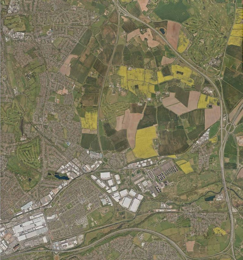
CON                    Contents

                        TENTS
                                                                                                                                        1

                                               Foreword								                                                   		            3

                                              1    Introduction						                                             		            5

                                              2    Context					                                                  		             9

                                              3    Vision					                                		                		             13

                                                   Big moves
                                                   Development principles
                                                   • Connectivity
                                                   • Activity
                                                   • Design

                                              4    Delivery				                                                 		             43

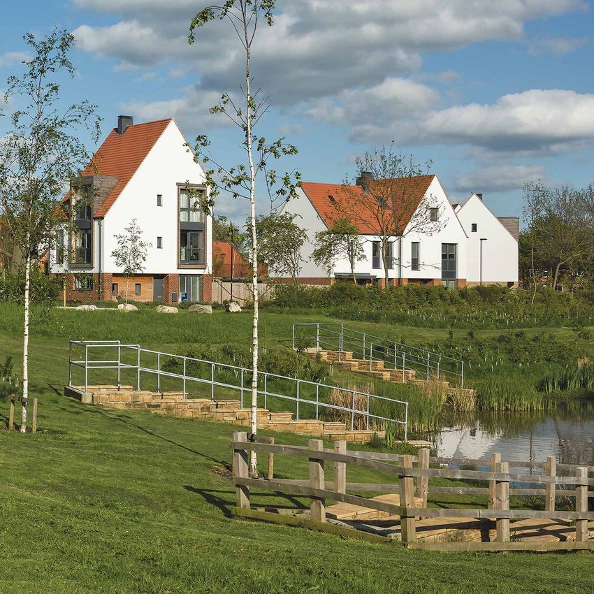
                          The images included in this SPD are illustrative to show what development at Langley SUE could look like.

langleySUE / contents                                                                                           contents / langleySUE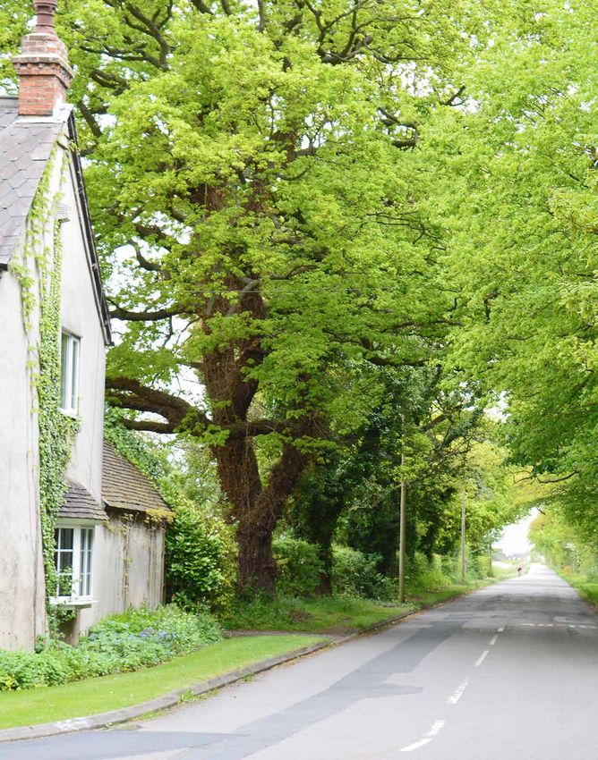
FORE
                               Foreword

                            WORD
2                                                                                                                              3

                               The Langley Sustainable Urban Extension is one of the largest single residential
                               developments in the UK. It will become a cornerstone of the City’s growth plans as we
                               deliver 51,000 new homes over the next 13 years.

                               Langley is an unparalleled opportunity to not only deliver new homes, but to establish a
                               new community and set a national benchmark for development at this scale. It is the chance
                               to create a new place for people delivering an exemplar residential development for future
                               generations.

                               The new community at Langley will be supported by a wide range of infrastructure from new
                               public transport connections, to a network of walking and cycling routes, extensive green
                               infrastructure and public spaces, to education facilities and local amenities.

                               In creating this new part of the City, there is the opportunity to incorporate new built form
                               with the area’s unique assets to create a distinct identity and living environment. This will
                               mean the development integrates with the existing communities and into the setting of the
                               Royal Town of Sutton Coldfield.

                               This draft Supplementary Planning Document sets out the City’s vision and expectations for
                               this nationally significant development opportunity.

                               Along with the development of Peddimore on the adjacent site, this is a great opportunity
                               for Birmingham and the Royal Town of Sutton Coldfield to create thousands of homes,
                               skilled jobs and modern infrastructure.

                               I am delighted that we are publishing this draft for consultation and engaging with the wider
                               community and partners on how we can create a new standard for residential development.

                               Councillor Ian Ward
                               Leader
                               Birmingham City Council

    langleySUE / foreword                                                                              foreword / langleySUE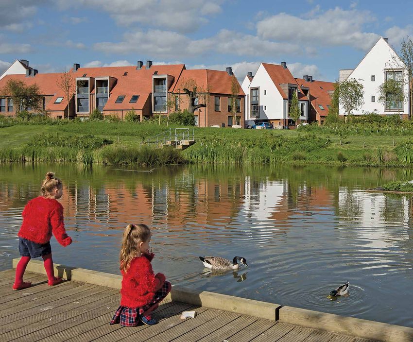
4                                                                 5

                                1INTRO
                                 DUCTION
    langleySUE / introduction         introduction / langleySUE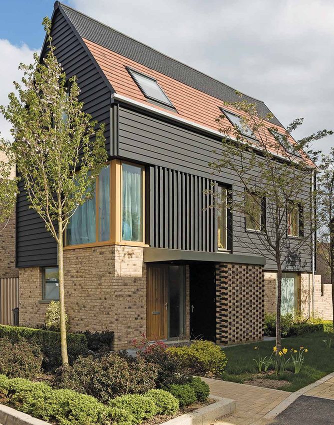
6 Introduction 7
Birmingham’s ambitious growth plans will see over 51,000 new homes delivered by 2031.
As one of the largest development sites in the City, the decision to release the land from
Cro il Line
Ra
ss C
the Green Belt for approximately 6,000 homes was driven by the need to create new
ity
communities with all supporting infrastructure.
Langley Sustainable Urban Extension (SUE) coordinated with the new 71 hectares (ha) The site is within north Birmingham, in 53
A4
is allocated in the Birmingham Development employment site at Peddimore, where a the Royal Town of Sutton Coldfield. It is
Royal Town of
Plan (Policy GA5) and will make a significant separate SPD has been prepared to guide connected to the major road network with Sutton Coldfield
contribution to meeting the needs of the successful development of the site. the A38 adjacent to the site and Junction M
6
(To
the growing population of the City. This Together these two developments will 9 of the M42 nearby. The site adjoins ll)
A 38
Supplementary Planning Document (SPD) not only redefine this part of the City but established residential areas of Walmley, Langley SUE
captures the essential ingredients for reposition Birmingham and enhance its Minworth, Falcon Lodge and Reddicap
42
creating a successful place and community. standing as one of the UK’s most successful Heath; with New Hall Valley Country Park to
M
A4
David Lock Associates has advised the regional centres with international appeal. the west. M 52
6
City Council on the approach that should BIRMINGHAM
A3
be in place to deliver a successful urban Securing the quality of development
4
extension. envisaged by the City Council will require Purpose
all parties involved to commit to a The objective of this SPD is to ensure that
Creating a place that stands the test of time comprehensive approach. The site is owned Langley SUE is a sustainable development
M
A47
6
will be crucial to achieving the ambition for by several landowners and developers, the to create a great place to live. It A41
this site. This will require a comprehensive majority of which have formed the Langley complements the statutory Birmingham
approach to the planning, delivery and Sutton Coldfield Consortium. This approach Development Plan (BDP), expanding upon
future management and maintenance. will start from setting the foundations for the core policies that have been adopted
HS2
Establishing site-wide strategies for a successful place, building the layers to ensure the cohesive and comprehensive We A4
57
st C City We
movement, green infrastructure, public of infrastructure and then development development of the allocated site. The
HS2
Rai oa s
l Li st Centre Ra t Co
ne il L as
facilities and utilities will be essential, to build a cohesive environment for all. SPD will be a material consideration when ine t
A456
forming the foundations for creating and Development at Langley SUE will need to determining planning applications.
sustaining a growing population. Working at be fully integrated with its surroundings and
this scale of development will require core wider communities. Following consultation on this draft A4 NEC
5
place-making principles to be embedded SPD, comments will be assessed and A4
1
✈
M5
into all aspects of the development. The City Council will work collaboratively any necessary changes made prior to its Birmingham
8 Airport
to realise the opportunity and create a adoption. A3
The delivery of Langley SUE and the truly exemplar form of development at the
associated wider infrastructure will be Langley SUE.
A34
A435
ity
ss C
Cro il Line
R a
Plan 1 Location plan
n
NORTH
langleySUE / introduction introduction / langleySUE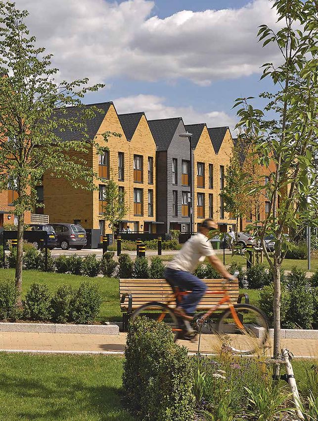
8                                                    9

                           2CON
                            TEXT
    langleySUE / context      context / langleySUE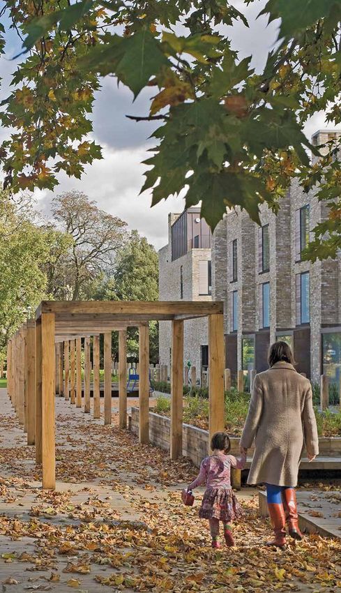
Good Hope
Hospital
M6
Context
(To
10 ll)
11
Churchill Road
Covering 274ha, Langley SUE is located in the north of the City adjacent to existing
established residential areas, with New Hall Valley Country Park in close proximity and
ad
farmland to the east out toward the M6 toll road. The area is well connected, with access to
Ro
the strategic road network on A38 and M42, and public transport links, including local train
ld
fie
stations.
g
rin
O
Sp
x
Le
As an extension to the urban area Langley and the HS2 Interchange at Birmingham ys
Ro
SUE will fall within the catchment of the International Station. ad
nearby Sutton Coldfield Town Centre. The
town centre is an important focal point Over the period to 2031, the increasing
ad
for shopping and local services and has levels of investment and the growth in the
Ro
significant potential for investment. With City’s population by 150,000 people will
ies
the increasing population, the opportunities put greater pressure on the need for more
oll
d
xH
By-p oldfiel
to enhance the town centre include an homes and associated infrastructure. A wide
Fo
ass
improved retail and leisure offer, transport range of housing tenures will have to be
on C38
A
interchange and public realm. provided to meet the needs of the existing New Hall Valley
Bul
and future residents. The City’s growth
Sutt
Country Park ls L
ane
The scale of investment and opportunity strategy provides a focus on brownfield
across the wider City is considerable sites, with approximately 90% of new homes
Sutton Coldfield
and over the next 15 years Birmingham expected on previously developed land. Rugby Club
will experience significant levels of new
development and infrastructure. Major With the City hosting the Commonwealth
infrastructure schemes such as High Speed Games in 2022, there will be major
2 and the Midland Metro Tram extensions investment in north Birmingham.
are already attracting both private investors This includes the delivery of modern
and new businesses to the region, with infrastructure and over 1,000 homes in Peddimore
Birmingham becoming a focal point. Perry Barr, and the redevelopment of the Hall
Alexander Stadium site to host national and Walmley
As part of this major investment international athletic events.
programme, new Sprint/Rapid Transit
services will provide fast, efficient, reliable, The Langley SUE, in combination with
Peddimore
sustainable journeys and provide access the Peddimore major employment site, Wa
lm
to HS2. With £24.4m funding from the will bring significant new investment into ley
As
hR
HS2 Connectivity programme, Langley will the area including new homes, new jobs, oad
initially have a service that will connect to improved public transport, green and social
the City Centre and Sutton Coldfield Town infrastructure (such as schools, healthcare,
Centre. Subject to further feasibility, after open spaces, leisure and recreation) and Plan 2 Site plan
Asda
2026 a service should also be provided enhancements to the highway network. Key
between Sutton Coldfield Town Centre
Area boundary Minworth oad
sbury R
97 King
A40
n al
Minworth Sewage
Treatment Works
NORTH
Can Midpoint
eley Park
Faz
d
langleySUE / context an context / langleySUE
m
ha
ng
r mi
Bi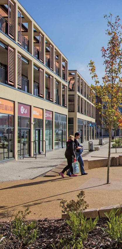
12                                                 13

                           3VIS
                            ION
     langleySUE / vision     vision / langleySUE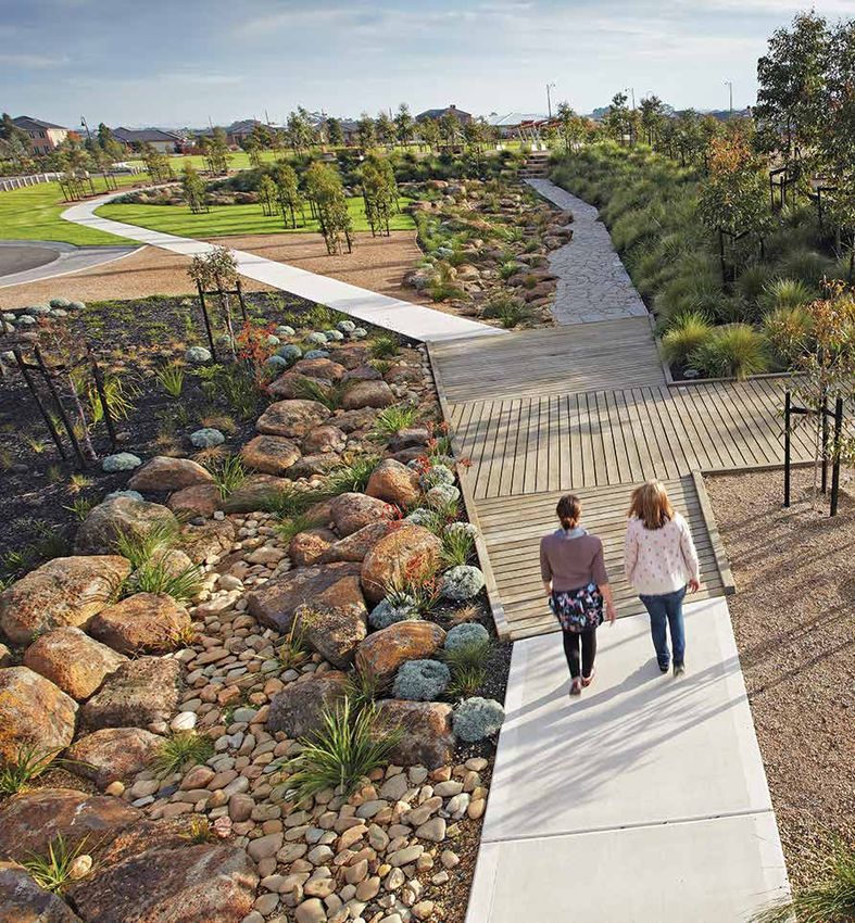
14 Vision 15
As a new large scale residential community Langley SUE will be a place that is connected,
inclusive, resilient, green and vibrant; putting people at the heart of the new development.
Integrated networks of green infrastructure, walking and cycling routes, public transport
and utilities will underpin the whole development to create a cohesive, truly sustainable and
healthy environment.
With a focus on family homes, with other BIG MOVES Langley Brook
housing types and tenures provided, the site Sprint/Rapid Transit Langley Brook offers the opportunity to M6
(TO
LL
will support a mixed residential community Sprint/Rapid Transit and bus services will provide pools and balancing ponds as )
that will be sustained by a comprehensive run through the site, and will be prioritised part of a high quality landscape setting for
range of social infrastructure, including on transport corridors to provide people homes, providing a distinct character for this
schools, shops, healthcare, recreation and with a high quality, quick and efficient part of the development.
leisure facilities and opportunities for local way of getting from the development to
training and employment. major destinations in the City and beyond. Fox Hollies Boulevard
Interchanges will be provided in the As the central walking and cycling spine
Movement across the site will prioritise
Centres, and links will also be made to the
AD
routes for walking and cycling, alongside for the site, this major route will link the
RO
local and national rail network.
LD
O
integrated public transport including Sprint/ northern and southern parts of Langley SUE
X
FIE
LE
YS
NG
Rapid Transit and local buses providing in an attractive and active landscape setting.
RI
SP
RO
connections to the wider area. The network A38 junctions
AD
will include a hierarchy of streets and will New vehicle access points will be provided
be designed with the principles of safety, into the site, including two new gateways A green buffer
D
OA
convenience and quality ensuring walking This multifunctional green space will
SR
from the A38. These will help to minimise
LD
LIE
and cycling are the preferred mode of travel. integrate the site into the surrounding
BY-P OLDFIE
OL
traffic impacts in the local area. A wider
XH
countryside and provide appropriate
ASS
TON A38
network of vehicle routes will be created
FO
C
Innovation in design, layout, architecture separation for new residents from the A38. PLAN 3 Big moves
within the site to support fast and legible
SUT
and construction will ensure a truly exemplar routes for pedestrians, cyclists and public
development delivering the highest quality Key
transport, and essential journeys by car.
of place that is resilient and sustainable, with Vibrant shopping and community Langley SUE boundary
distinctive character areas, public realm, facilities
landscape and buildings. Langley Park A new District Centre will be at the heart Peddimore boundary
With a focus on enhancing existing green of the development, acting as a hub for Langley Park
WE
Through high quality design, delivery community life with major shopping,
B
assets on the site, Langley Park will be
ST
E
Langley Brook
RW
of additional facilities and services, and strategic green corridor linking New Hall community, health, schools, sports and
AY
provision of enhanced infrastructure, the Valley Country Park with the countryside cultural provision. Other clusters of Fox Hollies Boulevard
development will be integrated into the to the east. The space will be publically community and local amenities will be
Royal Town of Sutton Coldfield and will accessible and support its high biodiversity integrated into the scheme to support Green buffer
provide benefits for communities. value. people’s day to day needs. Sprint/Rapid Transit route
This vision will be secured through District Centre and Community Hubs
the delivery of a series of Big Moves
Primary access points
underpinned by key development
principles.
n
NORTH
langleySUE / vision vision / langleySUE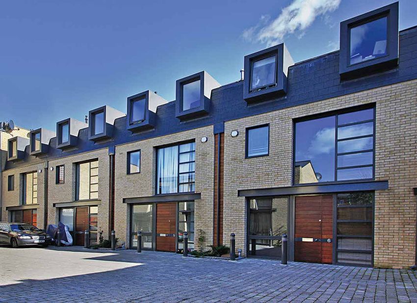
DEVELOPMENT PRINCIPLES
16   The following site-wide development                                     17
     principles will, alongside the Big Moves, be
     at the forefront of delivering the vision for
     Langley SUE and creating a truly exemplar
     development and legacy for future
     generations.

     Connectivity
     The layout, design and management
     of connectivity across the site will be
     focused on a movement hierarchy that
     promotes the most sustainable forms
     of transport including walking, cycling,
     Sprint/Rapid Transit and local bus services.
     Accommodating the car will be part of the
     strategy, and this will be aligned to the
     overall transport hierarchy. The quality of the
     public realm will need to focus on creating
     a consistent, high quality environment
     that incorporates, and links with the green
     infrastructure.

     Activity
     Langley SUE will be defined by its dynamic
     mix of housing, community, education,
     recreation and complementary retail to
     create a vibrant place for people to live. The
     uses will be positioned to create clusters of
     activity that are safe, attractive and easy to
     access by foot, bicycle and public transport.

     Design
     The approach to the design of infrastructure,
     buildings, spaces and landscape will need
     to be focused on the delivery of the highest
     quality of place. The areas landscape and
     heritage assets will allow development
     to respond positively to its environment
     and create distinctive neighbourhoods.
     Innovative methods for delivering energy,
     water management, drainage and other
     decentralised activity to support the local
     community will be vital to the developments
     overall sustainability.

     langleySUE / vision                               vision / langleySUE
• Provide primary access points into the Walking and cycling adoptable standard, and in line with the
18 Connectivity site, which act as clear gateways marked A continuous network of walking and cycling West Midlands Combined Authority Cycling 19
by distinctive built form that takes account routes will be required throughout Langley Design Guidance, with suitable surface
of the existing character of the area SUE, with priority over private vehicular materials, lighting and wayfinding/signage.
Establishing sustainable travel patterns and includes safe crossing facilities for traffic in appropriate ways. Walking and
that prioritise walking, cycling and public pedestrians and cyclists. cycling routes will need to connect the
transport from the outset is a key aim development with the local area, including Sprint/Rapid Transit, rail and public
that will impact on the design, layout and • Prioritise sustainable movement through links to key destinations, such as New Hall transport
phasing of the development. There will be the site, including walking and cycling Valley Country Park, Peddimore and other A key principle is for Langley SUE and
a clear strategy in place for Langley SUE to routes, and public transport services. employment sites, Sutton Coldfield Town Peddimore to be served by the Sprint/
accommodate the increased population, Routes will need to accommodate and Centre, Walmley and other Local Centres, Rapid Transit service, as well as other local
create a Green Travel District and connect maximise Sprint/Rapid Transit access rail stations, Birmingham and Fazeley bus services. The approach should also
the development to Sutton Coldfield and (vehicles of 18m length), and achieve Canal and the A38 underpass to the wider include arrangements for access to existing,
beyond. Langley will be a place that is journey times acceptable to the City countryside. The network should take and consideration of access to proposed
easy to understand and navigate, and will Council and Transport for the West account of existing routes (including public rail stations in the Sutton Coldfield area.
support investment in the wider transport Midlands. rights of way) within and connecting to Developers of Langley SUE will need to
network to mitigate the effects of the Langley SUE. liaise with the promoters of Peddimore,
• Ensure that improvements can be
development. Transport for West Midlands (TfWM) and
made to the wider highway network to As part of the site network, major walking bus companies to ensure a coordinated and
manage vehicle movements, avoid severe and cycling corridors will need to be effective approach to support the phasing
cumulative impacts in the wider area, and provided as indicated on Plan 4, including
Principal movement network and delivery of public transport.
provide sustainable connections from connections to the District Centre and
The Principal Movement Network (PMN) will Langley SUE.
be a key structuring element determining schools. These should be dedicated routes, A strategy for public transport will be
the built form and place-making including a network within the major green required to demonstrate how the Sprint/
A new junction with the A38 will be required infrastructure corridors. Where sections of
requirements of Langley SUE. It will play Rapid Transit service and other high
in the south of the site. This will form a the street network are used as part of these
an important role, integrating walking and quality services can serve Langley SUE and
strategic access for both Langley SUE and major routes, they will need to demonstrate
cycle routes, prioritising accessibility for high Peddimore. This needs to offer convenient,
Peddimore, including a walking and cycling that the right quality of environment is
quality public transport services, connecting fast and accessible means of travel to key
bridge and access for Sprint/Rapid Transit. created which prioritises walking and
centres and schools, and providing legible destinations, with suitably located stops.
Another new junction onto the A38 will be cycling.
routes for traffic entering and exiting the The Sprint/Rapid Transit service connecting
provided as part of the PMN in the north
site. The PMN will act as more than just the site with Sutton Coldfield Town Centre
of the site. This approach will encourage Footways and cycle tracks will also be an
conventional roads, and will include public and Birmingham City Centre is proposed to
Langley SUE traffic to use the A38 to access integral part of the PMN, other streets and
space and street landscaping to a high access the site at Walmley Ash Road in the
Birmingham City Centre and the wider road as part of the open space network. On the
specification. south and Churchill Road in the north. This is
network, limiting impacts on surrounding PMN and key routes to schools and other
subject to a detailed feasibility study being
residential areas. facilities, cycle tracks should be separated
The PMN will need to: led by TfWM.
from vehicle traffic, where appropriate,
Junction 9 on the M42 will also be a vital serving both sides of the streets as part of a
• Create the necessary legibility and The indicative Sprint/Rapid Transit network
junction for access to Langley SUE and clear network of routes. Wide footways and/
structure, providing a main network shown on Plan 4 serves each of the
Peddimore. Developers will need to work or pedestrianised areas will be required in
through the urban extension and Neighbourhoods and the District Centres
with Highways England, Warwickshire the District Centres and Community Hubs.
connections to the wider area. This and Community Hubs, whilst supporting
Country Council and the City Council Within residential areas pedestrian-focused
includes connecting each of the Langley early delivery and minimising impacts on
to deliver an appropriate solution to streets, similar in form to Home Zones,
Neighbourhoods with the District environmental assets. There will need to be
this junction to accommodate traffic may be appropriate. Safe crossing facilities
Centre and secondary school, and links a phased roll-out for Sprint/Rapid Transit
movements. should be provided at suitable locations,
for Neighbourhoods to the primary with interim arrangements in place by the
including in the Centres.
schools and Community Hubs within end of 2021 to be agreed. The PMN will also
Developers will be responsible for funding
their catchment. It will also need to be need to accommodate long term proposals
and delivering the PMN as indicated on Plan The design of streets should follow Sport
designed to contribute towards the for the Sprint/Rapid Transit service between
4, including any changes/improvements England’s Active Design principles as a
character of the site. Sutton Coldfield Town Centre and the HS2
to existing highways which are part of the minimum standard. All routes should be
Interchange in Solihull, via Peddimore.
transport strategy for the site. convenient, attractive and designed to an
langleySUE / vision vision / langleySUEDevelopers will need to demonstrate that dissuade through traffic from entering the
20 the majority of the new homes will be within site whilst providing public transport priority. 21
a 400m walking catchment of the proposed New housing will generally front on to, as
Lin
Sprint/Rapid Transit stops. In addition, a well as having direct access from, these d
Ro ridg
central public transport interchange for existing roads where appropriate. ad e
the Sprint/Rapid Transit service and other
connecting public transport services will Within more urban, higher density areas Churchill Road
be provided in the District Centre, and on site, the layout of development should
include necessary facilities (e.g. sheltered generally be relatively formal, offering a
waiting, seating and real-time information). choice of well-connected walkable streets. ath
ap He
Layouts should become more organic ReddicRoad
High quality public transport interchanges,
including Sprint/Rapid Transit services, and informal towards green edges and
should be included in the Community Hubs. in response to local topography. Streets
d
should be safe and attractive places for
oa
Provision should be made for a southern
R
people, well-landscaped and overlooked
eld
Sprint/Rapid Transit and public transport O
gfi
interchange within appropriate walking from building frontages, with parking x
rin
Le
ys
Sp
distance of Peddimore. sensitively designed. Variations in design
Ro
should reinforce the street hierarchy and ad
Sprint/Rapid Transit and local bus services different neighbourhood characters.
will need to have priority over private
vehicles at junctions, in Centres and in The PMN will need to be designed for
other areas where there is the potential for speeds of up to 30mph, with all other
delay, as appropriate. Local bus services residential areas and principal routes
are expected to use the PMN as well as through Centres and near schools
By-p oldfield
other streets, offering connections to local designated as 20mph zones to encourage
ass
destinations, including rail stations. safety and prioritise sustainable transport
Sutto A38
nC
modes. Access, parking and servicing
TfWM design guidance and accessibility layouts for premises need to allow for
standards for the Sprint/Rapid Transit and the delivery of quick and efficient public
local bus services will need to be followed. transport services, particularly Sprint/Rapid
Consideration should be given to the Transit, and the effective flow of other traffic.
suitability for a park and ride facility to serve This could include limits to on-street parking
the Sprint/Rapid Transit corridor. This could and loading.
boost patronage on Sprint/Rapid Transit and PLAN 4 Connectivity
We
ease pressure on the wider road network.
b
Parking
ste
This is being considered through a TfWM Key
rW
detailed feasibility study. Car parking will need to follow guidance
ay
set out in adopted guidelines for the Langley SUE boundary
City, currently set out in the Car Parking Peddimore boundary
Design, access and street layout Standards SPD (2012) and the requirements
for low emission vehicles (BDP Policy TP43). Principal Movement Network
A hierarchy of connected streets will need
to be an essential part of the development, As an exemplar of sustainable development, Sprint/Rapid Transit route
Wa
lm
ley
including the PMN and smaller roads. Langley should aim to provide higher levels As
hR
of electric vehicle charging points and cycle Walking/cycling route oa
d
Pedestrians, cyclists and public transport
should be given priority in the design of parking than those set out in the SPD. For District Centre and Community Hubs
streets and spaces. houses, cycle storage may be in garages
or outbuildings, and for apartments, New A38 junction
In addition to the primary access points, secure communal cycle shelters should be
local access points will need to be put in provided. Other types of building should
place, taking opportunities from existing include appropriate cycle parking and
n
NORTH
roads. These will need to be designed to changing facilities.
langleySUE / vision vision / langleySUEdemographic profiles over the period Sports Hub The layout and design of schools should be
22 Activity which the development is delivered. The A Sports Hub will need to be provided as future proofed to accommodate potential 23
affordable housing mix is likely to be for part of the development of Langley SUE. for further expansion should the need arise.
more home ownership than rent based on This will address the requirements of the Provision for special school education will
A core element of Langley SUE will be housing need in this location. City’s emerging Playing Pitch Strategy also need to be addressed as part of the
securing the right mix of housing to help and support formal sports provision. development.
create neighbourhoods that contribute to It will become an important facility for
place-making and sustainability. These will District Centres and Community Hubs
Langley SUE residents, as well as nearby
be supported by a lively mix of services and Langley SUE will need to provide a range of communities. Health care facilities
conveniences that are an essential part to supporting shopping and other facilities of Health Care Facilities must be provided
creating new communities, and to ensure an appropriate scale to serve new residents The facility will need to provide a number of to meet the needs arising from the
people have access to facilities for their day- and visitors to the site. These should be sports pitches, a building offering a range development. The type and phasing of
to-day lives. The District Centre and schools within defined Centres, and located on of recreation and leisure uses (which could facilities to be provided will be informed
will act as a focus for community life, and will the PMN, with convenient access to high include changing rooms, function rooms, by the standards and requirements of the
play a positive role in securing high quality quality public transport, and accessed by and supporting uses), and associated Birmingham and Solihull Sustainability and
design. key walking and cycling routes (as indicated parking. Shared usage and/or co-location of Transformation Partnership (STP). This will
on Plan 4). These Centres should also be the facilities at the Sports Hub with schools include provision of Primary Care (including
the focus for higher density residential should be explored to make efficient use GP surgeries), with other requirements
Mix of housing development on the site, supporting the of land on Langley SUE. The Sports Hub subject to assessment (including secondary
The scale of Langley SUE provides the creation of vibrant places. should be located in the District Centre, and care, acute case and unplanned care,
opportunity to deliver a wide variety of easily accessible by public transport from such as maternity and paediatrics). The
The District Centre should serve the whole
tenures and typologies of housing and the wider Sutton Coldfield area. necessary facilities would then need to
site, with shops (including a foodstore),
create the sustainable residential community grow along with the overall phasing of the
other centre uses (such as restaurants, café’s,
that the City needs. development, and consider potential for
public houses), community uses (such as
Schools future expansion should the need arise.
schools, leisure, arts and culture, health
Development must aim to create mixed, A secondary school (approx. 8ha) must be
centres, community halls, places of worship,
balanced, vibrant and sustainable provided as part of the development, and The facilities should be integrated into
and public space that could act as a hub for
neighbourhoods, with a mix of housing should be located with the District Centre. the overall development layout in a way
events and activities) and new homes.
by size, tenure and affordability to meet It must be in close proximity to, and served which respects the clinical and operational
the City’s needs in each Neighbourhood, Primary schools should be the focus for by the PMN, with an active frontage to the requirements whilst meeting overall
including a primary focus on delivering Community Hubs on the site, potentially street and public realm facilitating access by development and urban design objectives.
family housing. There should also be with other community uses and smaller walking and cycling. School sports pitches They should be located within the District
affordable homes, starter homes, and scale retail to serve local catchments on should preferably be shared with the Sports Centre and Community Hubs, and served
homes for the elderly and other people with the northern and southern parts of the Hub. by the PMN, with an active frontage to the
particular needs. Consideration should also urban extension (subject to scale and role, street and public realm facilitating access by
be given to provide self/custom build plots, these can be Local Centres). The Hubs will It is anticipated that three primary schools walking and cycling.
which potentially would be suited within need to be located to support walkable will need to be provided (2.5ha each), and
lower density housing areas. There is also neighbourhoods and be served by Sprint/ these should be evenly distributed within
the potential for alternative forms of tenure, Rapid Transit. Langley SUE. The preference is for these
such as private rented accommodation. The to be co-located within Centres to create
location and design of housing will need The scale of the Centres need to fit walkable catchments. They will also need to
to reinforce place-making, legibility and appropriately within the Centres hierarchy be located in close proximity to and served
sustainability. of policy TP21 of the BDP, and should not by the PMN, with convenient access to high
undermine existing Centres. Community quality public transport, and accessed by
The mix will be subject to BDP policies buildings, including schools, health centre key walking and cycling routes.
GA5, TP30 and TP31, and will need to and the Sports Hub, should be capable of
take account of the housing market and supporting a number of uses.
langleySUE / vision vision / langleySUE• Meet residents’ needs for space, natural Landscape and green infrastructure
24 Design light and quiet. The Technical Housing Landscape will be a defining feature of 25
Standards - Nationally Described Space Langley SUE that will provide a wide range
Standards will be the benchmark to assess of public spaces for the enjoyment and well-
The design of Langley, its buildings, spaces, the amount of space provided in new being of residents (BDP policy TP7). These
streets and infrastructure, will need to be homes. will be multifunctional with important roles
focussed on delivering a strong sense of in creating local character, landscape and
• Consider impacts on listed buildings and
place that puts the health and well-being ecological networks, sustainable drainage
other heritage assets on and near the site
of residents at its heart. It will be made and walking and cycling routes.
(see Plan 5) in line with national policy
up of a number of neighbourhoods with
and BDP policy TP12. Site archaeology Development must be shaped by existing
distinctive built characters that provide high
will need to be fully investigated prior to topography, streams and ponds, trees,
quality homes and public spaces. Design
construction and inform the design of the hedgerows and wildlife habitats (see Plan
will be inherently sustainable, making
developement. 5), making a positive contribution to the
Langley resilient to future economic, social,
technological and environmental changes, • Create a place that is resilient to detailed design of the urban extension.
and should aim for positive gains for natural environmental change (BDP policies TP1 These features should be retained and
capital. to TP6), and take a Fabric First and holistic enhanced unless there are overarching
approach to design of buildings and reasons why this is not possible, and impacts
transport to minimise energy demand and can be minimised and fully mitigated to
Place quality ensure there is a net gain overall on the
consumption. Technologies to enable new
Development at Langley will need to homes to be Smart Grid ready should be development.
deliver place-making principles, providing a explored.
strong, locally inspired identity. The overall Approximately a third of the site is expected
approach will need to: • Offer low/zero carbon energy supply and to be open space and green infrastructure.
generation, with first consideration given A minimum of 30ha of public open space
• Create distinctive neighbourhoods in to the use of Combined Heat and Power. is required (based on approximately 6,000
response to variations in topography and Design and siting requirements of this dwellings). The minimum requirement
integration of site features, with different infrastructure should be considered from for sports pitches/playing fields is 18ha,
approaches to built form and architecture. the outset, with the commercial areas of which can contribute towards open space
A clear hierarchy of street typologies, a the site likely to be the preferred locations. requirements where they have public access.
range of public spaces, landmarks and Other areas of open space and landscape
views will contribute to character and • Make a positive contribution to managing treatment will also need to be provided as
make Langley a place that is unique, air quality (BDP policy TP44). The part of good place-making.
easy to understand and connected approach should take a lead in promoting
and integrated into the existing area. sustainable energy, green infrastructure A network of public green spaces will
Design will need to allow for the positive and transport which will contribute permeate the site and connect to
management of site assets. to mitigating/reducing air quality surrounding networks and paths, designed
exceedances across the City. to be active, safe, and accessible to
• Provide a design approach that responds residents. The site will need to include major
well to differences in residential density. • Prioritise the reduction, reuse, recycling green infrastructure corridors for Langley
Most of Langley SUE should be medium (including home composting) and Park, Langley Brook, Fox Hollies Boulevard
density (35-40 dwellings per hectare (dph)), then recovery of waste (linked to low/ and a green buffer along the A38. Public
and will be highest (50-75dph) in and zero carbon energy where possible). open spaces within neighbourhoods will
around the District Centre, Community Design should ensure suitable access for include local play and multi-use games
Hubs and parts of the PMN. Lower density collection vehicles, with appropriate space areas, formal event spaces within the
housing (10-25dph) is mainly suitable for provided for waste collection requirements Centres, growing spaces (such as allotments
the Langley Parkland Neighbourhood. (currently three bins for each house). and community orchards) and
langleySUE / vision vision / langleySUEsports pitches/playing fields. Where noise Design framework
26 mitigation is required (potentially next to Langley SUE will be built out over a 20 year 27
the A38) within green spaces, the design period by a number of different developers. Lin
should result in living environments that Clear guidance is required to ensure that d
Ro ridg
meet national standards, including the WHO ad e
all developments on the site achieve high
Community Noise Guidelines. standards of design and sustainability that
Churchill Road
Sustainable urban drainage (SuDs) will contribute to coherent place-making and
be integral to development at Langley neighbourhoods of distinctive character.
SUE as part of the approach to flood A Design Framework is essential to embed ath
ap He
risk management (BDP policy TP6) and key principles to coordinate and guide ReddicRoad
biodiversity enhancements, with Langley development. This will form a suite of
Brook and Peddimore Brook on the site. design information to be submitted by
d
oa
Design solutions should create landscape
R
outline planning application stage. It
eld
assets such as ponds, swales and rain should clearly set out how place-making
gfi
rin
gardens as integral features of open spaces and character will be delivered across
Sp
O
and streets. Consideration should also be Langley SUE, and the design approach for x
Le
ys
given to implementing measures applied at each Neighbourhood, the PMN and major Ro
ad
the scale of buildings or plots, such as water green infrastructure corridors. It will also
harvesting and re-use. Some existing ponds need to address areas where land owners
and water bodies (and associated habitat) are not currently looking to bring forward
have populations of Great Crested Newts development.
and appropriate protection and mitigation
measures will be required, such as the The Framework will need to identify how
By-p oldfield
creation of occasional water bodies and character varies to reflect existing assets,
ass
habitats within open space. topography and other site conditions, as
Sutto A38
nC
well as their proposed land uses and type
Hedgerows and woodland areas, including of development. The design process should PLAN 5 Green infrastructure and assets
semi-natural broad leaved woodland, and be explained and set out how development
mature trees (including those with Tree phasing will facilitate the approach to place- Key
Preservation Orders) should be incorporated making.
into green open spaces and supplemented Langley SUE boundary
by new planting. Sites of Local Importance The Framework should be sufficiently Peddimore boundary
for Nature Conservation (SLINCs) should be detailed to establish:
retained and sensitively integrated into the Site of Local Importance for Nature
We
• Streets and public spaces typologies, Conservation (SLINC)
b
development, potentially within informal
ste
including scale, enclosure, form, typical
open space (BDP policy TP8), with overall
r
Area with amenity value and/or
Wa
features, materials and example sections.
net gains for biodiversity. heritage value
y
• Typical building typologies including
Public spaces, streets and front gardens Trees/woodland
scale, massing, heights and appearance,
should have environmental and visual
boundary treatments and parking, cycling Hedgerow
links to the surrounding area, and
and waste provision.
landscaping informed by ecological design Watercourse/ponds Wa
lm
ley
principles, such as use of locally native • Indicative layouts with key views, block As
hR
Flood zones oa
species, pollinator-friendly plants, climate- types (including the approach to parking), d
resilient plants, and ecologically sensitive focal spaces, landmarks and other urban Pylons
maintenance. Opportunities should also be design features.
Listed buildings and buildings with
taken to incorporate green walls/roofs on
• Palettes of typical building and public character value
buildings (especially close to open spaces).
realm materials, trees and other plants.
The design approach for private gardens
should be for robust and low maintenance • How green infrastructure and utilities can
n
NORTH
spaces with wildlife friendly planting. be accommodated.
langleySUE / vision vision / langleySUEDISTINCTIVE NEIGHBOURHOODS
28 With a development the scale of Langley 29
SUE, it is important to ensure that
M6
neighbourhoods of an appropriate scale, To
ll
high quality design, and distinctive character
are delivered as part of successfully creating
a new place. To support this design
approach, indicative Neighbourhood areas
have been identified (Plan 6), setting out
important considerations and aspirations Community
which will need to inform the next Hub
ad
development design stages.
Ro
ld
North
fie
g
Overall the Neighbourhoods will need to be Valley
rin
Sp
at a suitable scale that supports how people
live and interact within their local area on
ass
a day to day basis, with transport services
By-p
and facilities within reasonable walking and
cycling distance.
eld
oldfi
Each Neighbourhood will have a distinctive
on C
District
character that relates well to adjoining Centre Gorse
Sutt
places, and well-defined gateways that
A38
help people to identify with their local
area. Character will arise from the local
context, including topography, landscape
and heritage assets; and from new carefully
considered design of buildings and public
spaces. The design of parks, schools and Parklands
other key facilities will reflect their role and
contribute to distinctive local character.
The use of different architects on the
development is encouraged to create
We
variety within a coherent design approach.
bste
rW
Public art has the potential to enhance
ay
place-making in the Neighbourhoods and at
key locations, such as Centres and strategic
green spaces, and to engage with all people South
during the development. Different forms
of public art - temporary/permanent, site- Community
specific work/wider cultural events - can Hub
positively contribute to Langley’s identity.
PLAN 6 Distinctive neighbourhoods
n
NORTH
langleySUE / vision vision / langleySUEDISTINCTIVE NEIGHBOURHOODS
30 LANGLEY VALLEY
31
This area will be defined by the central valley of the Langley Brook
that will form a strategic green corridor between Langley Parklands
in the south and Lindridge Road in the north. Development will be
predominantly residential which relates well to the major landscaped
public open space and to the adjoining residential areas off Springfield
Road. The Neighbourhood will be a gateway into the development,
with major transport links to be provided connecting new communities
with existing residents.
Design and layout
• Major landscaped public open space along Langley Brook, including
SuDs.
• Gateways into the development from Springfield Road as part of the
PMN. Strong connections will be created with existing communities,
with walking and cycling links.
• Medium density is the predominant form for housing, with some
variations and opportunities for self/custom build plots. Higher
density close to District Centre and PMN.
• Strong edges formed by housing fronting on to Springfield Road
(formal), positively addressing existing residential areas, and on to the
strategic green corridor (less formal).
• Homes designed to take advantage of views over open space, with
potential for upper floor living.
• Noise mitigation, where required, achieved through building design.
Existing assets
• Langley Brook (including SLINC), with walking and cycling crossing
points provided.
• Woodland, trees (including TPO’s) and hedgerows.
• Ox Leys Road.
langleySUE / vision vision / langleySUEDISTINCTIVE NEIGHBOURHOODS
32 LANGLEY NORTH
33
As a new settlement edge in the north-east of the site, the
development will be predominantly residential in nature. This will be
supported by significant green spaces, a primary school and potentially
a Community Hub. The PMN will help connect the Neighbourhood to
the rest of the development.
Design and layout
• Design needs to take appropriate account of the undulating landform
in this area.
• Strategic green corridors as key character features alongside the A38
(with noise attenuation buffer) and forming the northern section of
Fox Hollies Boulevard.
• Medium density housing, with higher density towards the PMN and
the Community Hub, reducing towards strategic green spaces.
• As a new settlement edge, street hierarchy needs to connect the
area to the City network, including the PMN, with good access to the
District Centre, nearby Community Hub and public transport stops.
• Gateways into the development from the A38 as part of the PMN.
• Walking and cycling links to proposed residential development to the
north of Lindridge Road (in North Warwickshire) should be explored.
Existing assets
• Ox Leys Road.
• Langley Hall (listed building).
• Hedgerows and trees to be retained.
langleySUE / vision vision / langleySUEDISTINCTIVE NEIGHBOURHOODS
34 LANGLEY GORSE
35
Langley Gorse is an area of relatively high ground, which will become
a predominantly residential neighbourhood. Fox Hollies Road will be
a significant feature for the area, and along with the areas relationship
with Langley Park and the District Centre, these will help to define
character in this Neighbourhood.
Design and layout
• Major landscape infrastructure, including green space along the A38
(with noise attenuation buffer), with links to Langley Park.
• Fox Hollies Road will be part of a major green corridor and will be a
key character feature. It will be a key part of the green infrastructure,
and walking and cycling networks on site.
• Medium density housing is the predominant form, with some
variations reflecting closeness to the District Centre and the PMN.
Closer to Langley Park, housing will need to relate to the more open
landscape, resulting in a clearly defined change in character.
• Street layout responds to landform, with the PMN as the key
structuring feature. These layouts should consider views into, out of
and through the Neighbourhood. Ridges offer the potential to break
up built form and mitigate visual impacts.
Existing assets
• Landscape features, including those associated with Fox Hollies Road
and surrounding area, including hedgerows, trees and semi-natural
habitats (including TPOs and a SLINCs).
• Watercourse on eastern edge.
langleySUE / vision vision / langleySUEDISTINCTIVE NEIGHBOURHOODS
36 LANGLEY PARKLAND
37
Within this Neighbourhood, Langley Park will be a strategic green
corridor linking New Hall Valley Country Park with the countryside to
the east, and will define the character of this Neighbourhood. It will
utilise existing assets, including Fox Hollies Road, with a focus on
informal open spaces. The area will provide an important transition
between the south of Langley SUE and the north, with a supporting
movement network to connect the area. Residential development will
seamlessly integrate into the surrounding landscape character.
Design and layout
• Strategic green corridor with an appropriate mix of green
infrastructure primarily as an ecological network link. It will
incorporate existing assets, and include informal public open space,
play areas, SuDs and noise attenuation buffer.
• Fox Hollies Road will be a key landscape character feature and will
need to become a key part of the green infrastructure, and walking
and cycling networks on site as part of Fox Hollies Boulevard. Where
necessary, sections of this road (or alternative alignments) can be
considered as part of the sustainable transport strategy (including
public transport and localised vehicle movements) where it does not
cause a significant impact on the purpose of this corridor.
• Supporting movement infrastructure, including links to the District
Centre and gateways into the site. Dedicated walking and cycling
routes to be provided that connect New Hall Valley Country Park in
the west and open countryside to the east, and link Langley South to
the north of the site.
• Buildings within and sensitively integrated into a green landscape
setting, working with undulating topography and including suitable
architectural approaches, such as green roofs.
• Lower density is the predominant form for residential development,
with opportunities for a bespoke approach to housing layout and
design with self/custom build plots and care homes. Housing layouts,
within large well-landscaped plots, should provide appropriate access
to the PMN and District Centre.
Existing assets
• Features associated with Fox Hollies Road and surrounding area,
including estate parkland, grassland, woodland, mature trees,
hedgerows, Peddimore Brook, wetlands and habitats (including TPOs
and a SLINC).
• Langley Heath Farm and Fox Hollies (listed buildings), with access
maintained.
• Utilise public rights of way, including A38 underpass.
• Power lines (proposals to put them underground will be supported
where viable).
langleySUE / vision vision / langleySUEDISTINCTIVE NEIGHBOURHOODS
38 LANGLEY SOUTH
39
Langley South will be the southern gateway to the urban extension,
with major access points from the A38 and Webster Way. The area will
be predominantly residential, and the new homes will be supported by
significant green spaces, a primary school and potentially a Community
Hub. The PMN will help connect the Neighbourhood to the rest of the
development and Peddimore.
Design and layout
• Housing forms and building design reflecting its gateway location
into Langley SUE, with an identifiable and distinctive character.
• Medium density is the predominant form for housing, with higher
density towards the PMN and a Community Hub. Lower density
housing in the north of the area to allow for links, landscaping,
retention of existing assets and views to Langley Park.
• PMN and strategic access to be provided connecting the A38,
Webster Way and the northern part of the site, including the District
Centre. Dedicated walking and cycling routes are needed to link
Langley South to the north of the site as part of a major green
corridor, and to Peddimore.
• Legible layout based around PMN and a clear hierarchy of well-
connected residential streets, including links to surrounding
residential areas. The layout becoming less formal towards the A38
and Langley Park green spaces, with development near the A38
junction seamlessly integrating into the setting of this residential area.
• Development will need to satisfactorily link to and address existing
properties and destinations on Webster Way and Walmley Ash Lane,
and ensure residential amenity is protected.
• Strategic green spaces will need to be provided linking into the wider
green infrastructure network, including Peddimore Brook, Fox Hollies
Boulevard and open space alongside A38 with landscaping and noise
attenuation buffer.
• Impacts to be considered on Peddimore Hall (to the east of the site),
where the moated site is a Schedule Monument.
Existing assets
• Peddimore Brook.
• Hedgerows and trees (including TPOs).
langleySUE / vision vision / langleySUEDISTINCTIVE NEIGHBOURHOODS
40 LANGLEY CENTRES
41
At the core of the urban extension is a new District Centre, just to
the north of Langley Parkland, offering major facilities and services.
Community Hubs should also be provided in accessible locations to
serve people’s day to day needs in the northern and southern parts of
the site. These Centres will be connected to all areas of the site by the
PMN, high quality public transport services and key walking and cycling
routes.
Design and layout
• Similar design approaches in all Centres, that reflect the role of the
District Centre and the scale of the Comunity Hubs.
• District Centre will include a concentration of shops, commercial and
community uses, Sprint/Rapid Transit interchange, an urban square/
park, secondary and primary schools and Sports Hub.
• Community Hubs should serve local catchments, with a focus on
community uses, primary schools and public transport interchanges.
• Vibrant and bustling places with strong identity, acting as local
landmarks. Should include contemporary architecture and high quality
public realm design that takes a lead from other recent high quality,
higher density development to create an instantly recognisable and
distinctive place. Buildings should enclose, front onto, overlook
and be accessed from the main streets. Encouragement given to
independent and niche retailers, and distinctive approaches to design
and signage.
• Public realm will need to include a public square/park capable of
hosting events, and pedestrian-friendly streets. Significant green
infrastructure to be provided, including street trees and SuDs.
• Layouts in the Centres will need to enable easy accessibility by
walking, cycling and public transport. All Centres should be on the
PMN, with a connection from the District Centre to existing residential
areas.
• Car and cycle parking should be shared between different uses to
minimise the land needed and impacts on the streetscape.
• Higher density is the predominant form for Centres, with upper floors
for apartments and potential for town houses. The highest density
should be in the District Centre. Servicing and delivery arrangements
will need to be designed to support the creation of a high quality
residential environment.
langleySUE / vision vision / langleySUE42 43
4DELIV
ERY
langleySUE / delivery delivery / langleySUE44 Delivery 45
In order to achieve the quality of development and place that is required by the BDP and
this SPD, a comprehensive approach to the sites planning, development, delivery and long
term management and maintenance is needed.
This will mean working collaboratively across the development. It will be essential that • District and other centres - This should set the role of each part of the network, TABLE 1 Key infrastructure requirements
a range of themes setting clear strategies the following interconnected strategies are primarily be focussed on how the role and from the major green infrastructure
Key infrastructure requirements - indicative phasing Lead delivery organisation
for all the elements that will contribute to a put in place by the developers, with key function of the District Centre and other corridors to more localised areas, and how
development of this scale and deliver social stakeholders, prior to any formal planning shops and facilities on the site will be they will be delivered. It will need to set 0-5 years (starting 2018)
value for the City. David Lock Associates application: co-ordinated in a comprehensive manner, out the approach to existing assets and New junction with the A38 and Peddimore (Langley South) BCC/Developer
advised the City Council on the approach linked to social infrastructure provision. It how they will be accommodated (including Sprint/Rapid Transit services (interim arrangements as a minimum) TfWM
that should be in place to deliver a • Community development and will need to address the scale and type of any mitigation).
Primary School BCC/Developer
successful urban extension. governance - This will set out how shops and facilities that will be provided,
local people and businesses, including which places them into the network of • Sustainable drainage - This needs to Health care facilities - early phasing Developer/Birmingham and
The City Council, working with key the Town Council, will be involved in Centres within Birmingham. offer a long term sustainable solution Solihull STP
stakeholders, including the Langley Sutton the development and how the new which contributes towards the overall 5-10 years
Coldfield Consortium (the Consortium), communities on site will be encouraged to • Housing - This strategy should set out how character of the site, including the green
infrastructure and transport and movement New junction with A38 (Langley North) BCC/Developer
other landowners, developers, and local have a meaningful stake in their local area. the mix, tenure and typologies of homes
networks. It will need to include flood risk Secondary School BCC/Developer
communities will have an important role in A community development and culture will support the successful creation of new
overseeing and monitoring the quality and programme, funded by the developer, will communities. It will support the effective assessment and flood risk modelling for Primary School BCC/Developer
stages of the development. A joint approach be set up to support resident wellbeing and coordinated delivery of affordable the Langley Brook.
Health care facilities Developer/Birmingham and
to project management, communication and and build relations, social networks, housing in a comprehensive manner • Energy and utilities - Developers should Solihull STP
decision making will be put in place with key groups and activities during all stages of throughout the site, and set out how it will liaise closely with relevant agencies District Centre including Sports Hub Developer
partners. This will include setting out the the development. A Community Liaison contribute towards the overall housing mix and service providers to ensure that Community Hub Developer
resources and skills required to deliver the Officer could be an effective way to deliver in each Neighbourhood. sustainable power, water, waste and
agreed site-wide masterplan during the life this. Future ownership and management 10+ years
communications services are delivered
of its development, with project teams and of community assets will also provide • Sustainable transport and movement - As when required and maintained. This Sprint/Rapid Transit (full route) TfWM
working groups used to progress key topics. opportunities to help build a sustainable a key requirement of the development, should also be explored with the Primary School BCC/Developer
An appropriate delivery model will need new community. The approach will need this strategy will cover all movements requirements and proposals associated
to be put in place, and this could include to be phased and reflect the growth of (including walking and cycling) from Community Hub Developer
with Peddimore. There should be a focus
the establishment of a master developer communities on the site. the development, both on and off-site, on incorporating a long term low/zero Health care facilities - remaining requirements Developer/Birmingham and
to ensure a comprehensive and cohesive including links to shops, schools, green Solihull STP
carbon strategy, underpinned by a Fabric
quality development, and the phasing, • Social infrastructure - This strategy will space and other facilities. It will need to First approach. Current and emerging Delivered continually throughout development (including initial phases)
coordination and comprehensive delivery of need to maximise the coordination, co- be underpinned by a detailed Transport technologies should be considered for Affordable housing (35% of total homes) BCC/Developer
the infrastructure and built form across the location and delivery of schools, health Assessment, informed by the emerging future needs, and provided for wherever
whole site. The delivery of Langley SUE and and other community facilities and services Sutton Coldfield transport model. A Travel Green infrastructure including at least 30ha of public open space
possible (e.g. electric vehicle charging). (based on 6,000 homes), playing fields, play areas, etc. BCC/Developer
Peddimore will be coordinated to provide a serving the site. This will need to have Plan will be a key part of the strategy to
comprehensive approach. regard to existing facilities in the area, promote the use of sustainable modes of • Digital infrastructure - This will to need Principal movement network BCC/Developer
and demonstrate how the proposals will travel. It will also need to set out a strategy to accommodate wired and wireless Walking and cycling routes BCC/Developer
complement this provision. Clear trigger for construction traffic movements. infrastructure to provide high speed
Other high quality public transport services BCC/Developer
Site-wide strategies points to provide this infrastructure, ubiquitous internet access that is
The first step will be producing a range linked to the delivery of new housing, will • Green infrastructure - This will need to suitably integrated into the design of the Off-site highway improvements BCC/Developer
of site-wide strategies covering key need to be made to ensure that essential address all green infrastructure, including development. It will need to demonstrate Sustainable urban drainage BCC/Developer
infrastructure to ensure that a clear services are provided. open space, landscape, Sports Hub and a long term view which can accommodate Low/zero carbon energy infrastructure BCC/Developer
approach is in place to deliver the vision, other pitches, nature conservation sites ongoing best practice and innovation in
linked to the phasing and design quality of and heritage assets. The strategy should Community facilities (potential for temporary space in early phases) BCC/Developer
the industry.
langleySUE / delivery delivery / langleySUEYou can also read


