Events on Slieve Donard: Going Forward - A Summary of Key Challenges, Learnings and Opportunities
←
→
Page content transcription
If your browser does not render page correctly, please read the page content below
Events on Slieve Donard: Going
           Forward
A Summary of Key Challenges, Learnings
         and Opportunities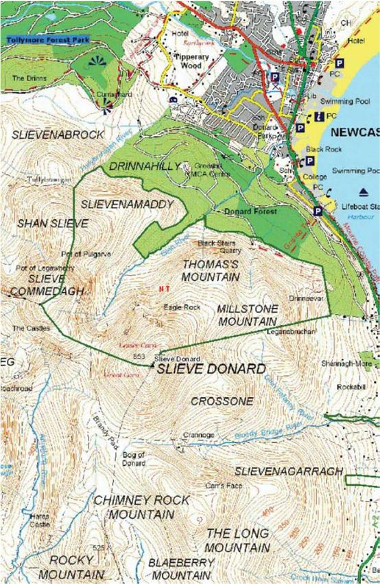
1990s
National Trust acquired 526 hectares of Slieve
Donard and Slieve Commedagh, including the
Glen River route towards both mountains.

2002
Footpath project completed.

2012
Path Restoration Works with MHT

2016
An Amber Survey of the Glen River was
commissioned and completed, outlining the
needs for major and immediate path repair.

2018
A business case was presented to justify the
appointment of a Mountain Ranger to oversee
path restoration and habitat management of
the mountains. Funding of ~£250k was
secured up to 2020 to deliver proposed works.

2019
Project commencement.
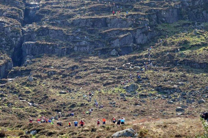
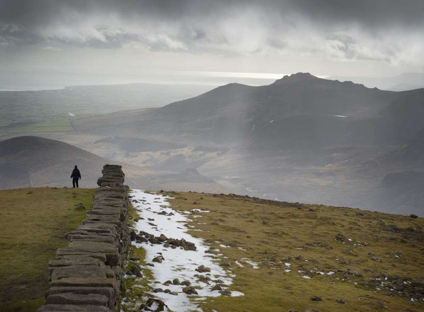
As Northern Ireland’s highest mountain,
Slieve Donard receives a large and
diverse amount of visitor traffic, with
hiking, trail running and mountain biking
key activities pursued in this area.

Month      Donard Glen River
Jan                                3257
Feb                                3463
Mar                                4706
April                              8781
May                               14505
June                              16195
July                              12659
Aug                               11896
Sept                               8761
Oct                                6514
Nov                                3550
Dec                                5174

                                  99461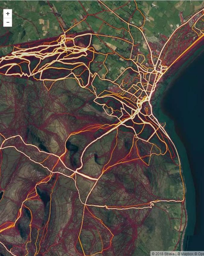
Why protect Slieve
Donard?
• The Eastern Mourne Mountains are protected under the conservation designations of SAC, ASSI and
AONB.
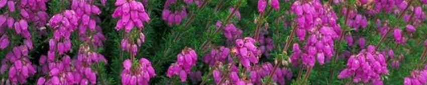
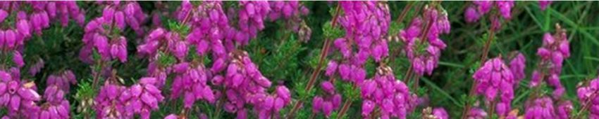
• They contain the largest area of European Dry Heath in Northern Ireland and represent one of the
largest areas of Northern Atlantic Wet Heath.
• Slieve Donard and Slieve Commedagh also contain Montane Heath on the peaks, characterized by
the presence of dwarf scrubs such as willow, bilberry and juniper.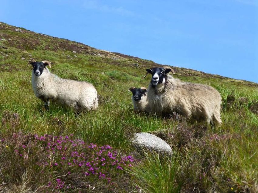
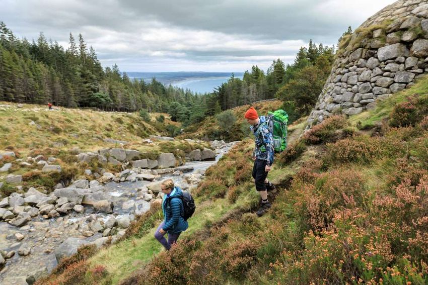
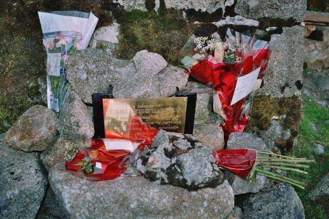
A Living, Working
Landscape
•   Farming
•   Forestry
•   Water Catchment
•   Tourism

Use of the Mournes for
recreational enjoyment is long
established with many popular
and well-used access routes.

Such recreational use has impacts
on the landscape, impacts that
require active management and
consideration and all users have a
part to play in this.
Challenges
• Designing, creating and maintaining access routes capable of withstanding varied,
  frequent and multi-level usage.
• Managing erosion caused by trampling (both human and animal) and weather
  processes.
• Responding to changes (climate change, tourism trends, etc.)
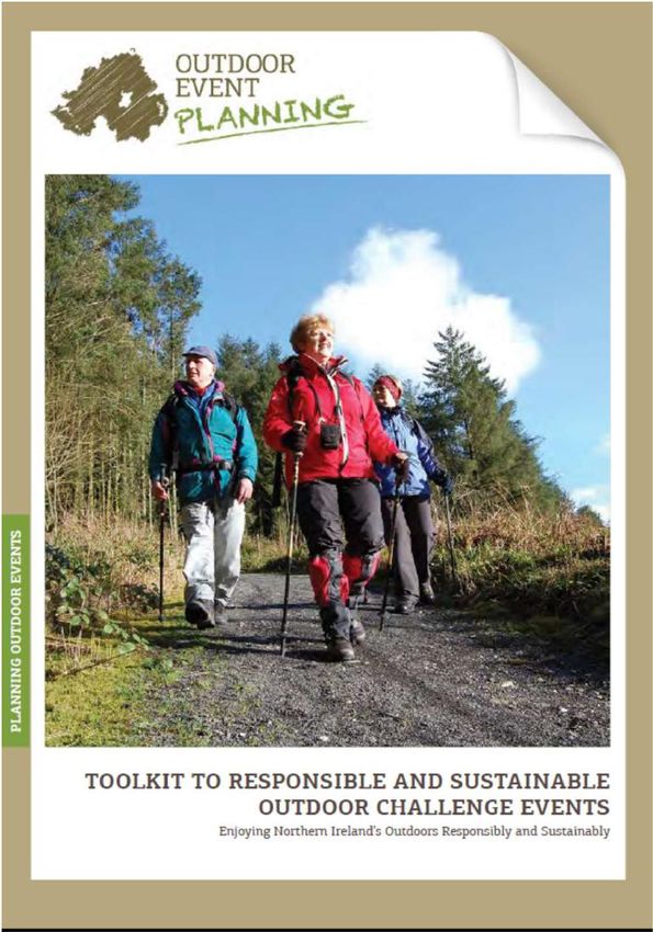
Event Planning helps:
Plan events suitable for the landscape,
allowing recreation to take place with suitable
consideration to the landscape. Allows us to
help manage;
Number of participants
When and where the event takes place
Anticipate, plan for and mitigate potential
effects during the event;
Alternative routes during wet weather
Informing participants of the need to stay
on specified routes
Appropriate way markers and stewardship
Temporary signage
Work with organisers to restore the landscape
once the event has completed;
Collecting Litter
Removing way markers
Path repair
Re-landscaping erosionImproving and simplifying the process of outdoor event planning is imperative for
the ongoing conservation and management of the Mournes.We hope to change mind-sets on how visitors use and view the mountains by promoting the values and behaviours related to the National Trust’s core ideas of: • Loving Places • Sharing a common purpose • Thinking Long Term • Inspiring People
You can also read